Baldash Hill

Hill, Mountain in Devon East Devon

England

Baldash Hill

Stockham, Devon This is about 2 miles north of Hangmans Stone on the A35. Lots of building work was taking place when the photo was taken.
Stockham, Devon Credit: Stuart Buchan

Baldash Hill, located in Devon, England, is a prominent hill that stands at an elevation of approximately 500 feet (152 meters) above sea level. It is situated in the southwestern part of the county, near the village of South Brent.

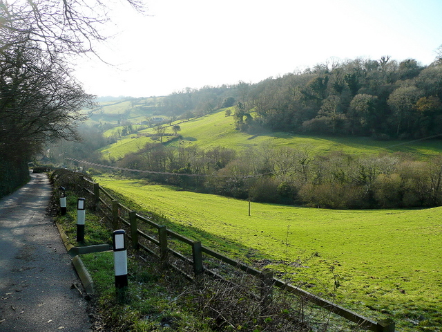
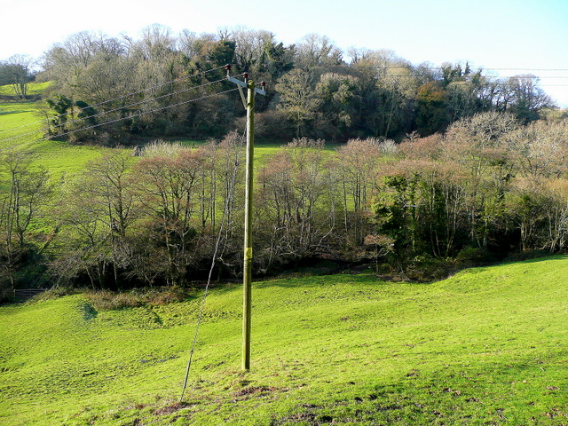
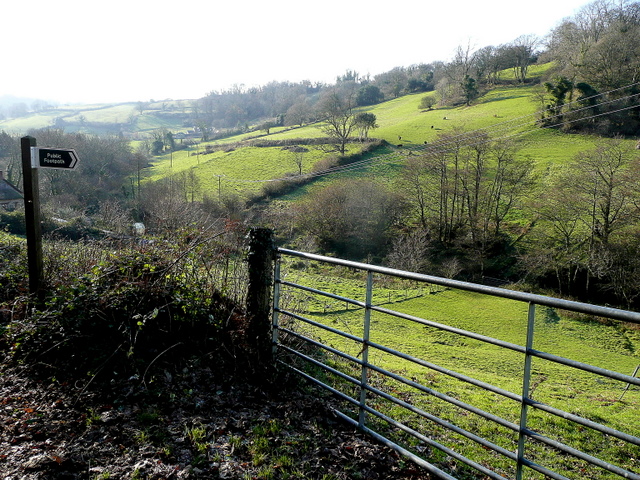
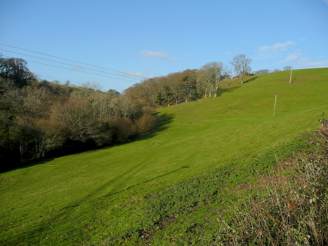
The hill is known for its distinctive bald summit, with sparse vegetation covering its uppermost part, hence its name. The surrounding landscape is predominantly rural, characterized by rolling hills, meadows, and small pockets of woodland. From the top of Baldash Hill, one can enjoy breathtaking panoramic views of the picturesque countryside, with its patchwork of fields and scattered farmhouses.

Baldash Hill is a popular destination for hikers and nature enthusiasts, who are drawn to its natural beauty and tranquility. Several footpaths and trails crisscross the hill, offering visitors the opportunity to explore the area and immerse themselves in its peaceful surroundings. The hill is also home to a diverse range of flora and fauna, including wildflowers, grasses, and various bird species.

Aside from its natural appeal, Baldash Hill holds historical significance as well. It is believed to have been the site of an ancient fort or settlement, with remnants of earthworks still visible today. This adds an element of intrigue and fascination for those interested in the region's past.

Overall, Baldash Hill in Devon provides a picturesque and serene escape for nature lovers, offering stunning views, pleasant walks, and a glimpse into the area's rich history.

If you have any feedback on the listing, please let us know in the comments section below.
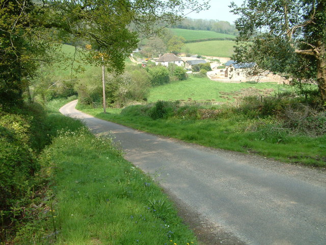
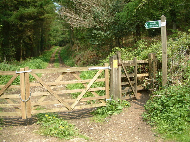
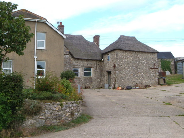
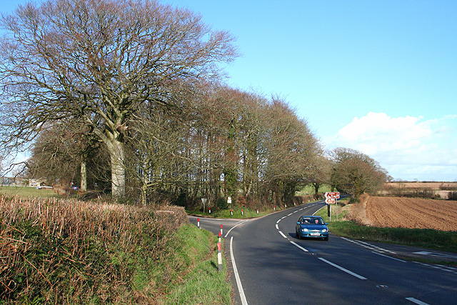
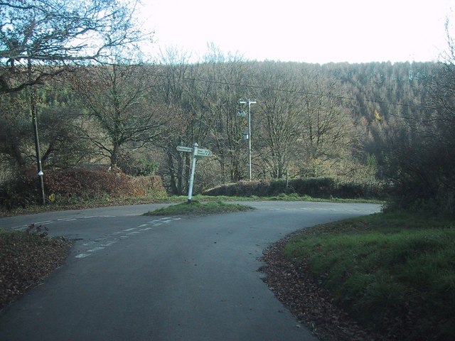
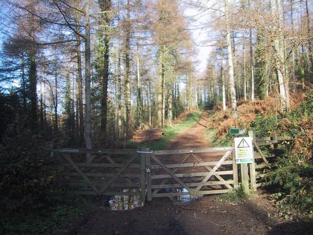
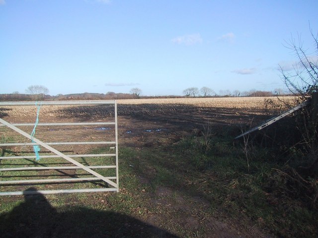
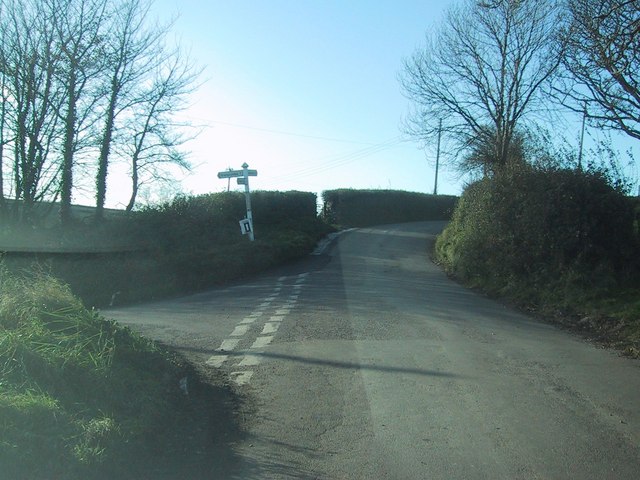
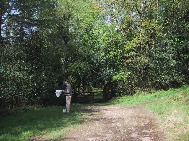
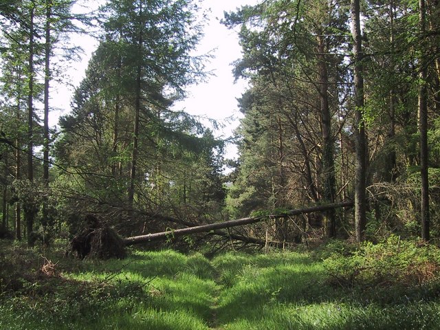
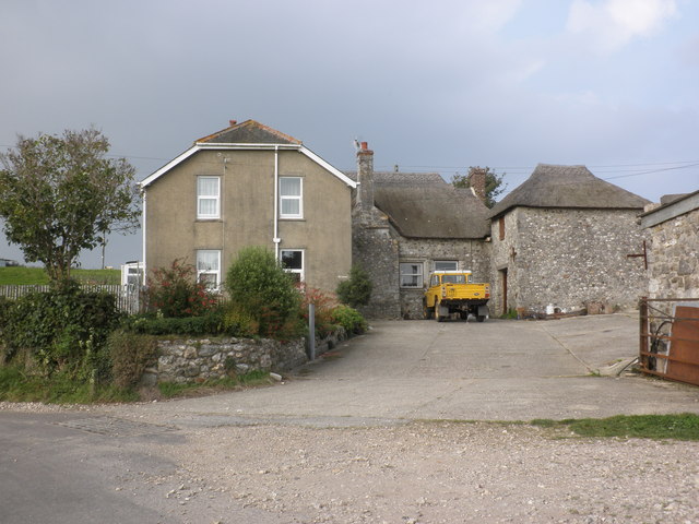
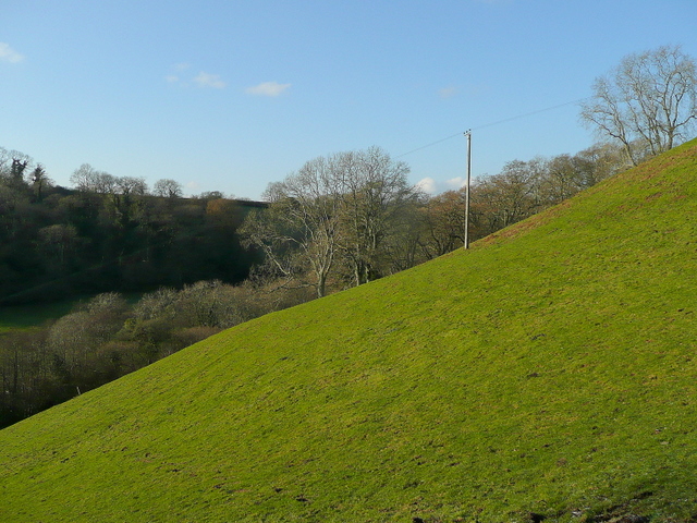
Baldash Hill Images

Images are sourced within 2km of 50.714336/-3.1465507 or Grid Reference SY1991. Thanks to Geograph Open Source API. All images are credited.

Stockham, Devon This is about 2 miles north of Hangmans Stone on the A35. Lots of building work was taking place when the photo was taken.
Stockham, Devon
This is about 2 miles north of Hangmans Stone on the A35. Lots of building work was taking place when the photo was taken.
Footpath, Bovey Down, Devon This is just north of the A35.
Footpath, Bovey Down, Devon
This is just north of the A35.
Woodhead Farm, Branscombe The old thatched farmhouse with modern extension is set high above the Branscombe valley, at the top of the steep Seller's Wood Hill.
Woodhead Farm, Branscombe
The old thatched farmhouse with modern extension is set high above the Branscombe valley, at the top of the steep Seller's Wood Hill.
Beer: Stafford Cross On the A3052 Exeter – Lyme Regis road, looking east-north-east towards Colyford. The left turn leads to Colyton. The lane on the right runs up from Branscombe and Beer. The crossroads is on the boundary between Beer and Colyton parishes
Beer: Stafford Cross
On the A3052 Exeter – Lyme Regis road, looking east-north-east towards Colyford. The left turn leads to Colyton. The lane on the right runs up from Branscombe and Beer. The crossroads is on the boundary between Beer and Colyton parishes
Road junction north-west of Bovey Down
Forest track on Bovey Down
Stubble field near Bovey House The map indicates forest in this area, but there is no sign of it on the ground.  (Nor on my - older - map.)
Stubble field near Bovey House
The map indicates forest in this area, but there is no sign of it on the ground. (Nor on my - older - map.)
Road junction by Woodhead Farm
Paths cross in the woods on Bovey Down
Bluebells at the edge of the woods on Bovey Down
Trees block a woodland ride on Bovey Down
Woodhead Farm
Woodhead Farm
Steep hillside west of Seller's Wood Hill Viewed from the road to Branscombe beach from Woodhead.
Steep hillside west of Seller's Wood Hill
Viewed from the road to Branscombe beach from Woodhead.
Watercombe valley Looking south, downhill, along Seller's Wood Hill leading towards Branscombe Beach.
Watercombe valley
Looking south, downhill, along Seller's Wood Hill leading towards Branscombe Beach.
Alder Grove and Lower Watercombe Coppice Looking across the valley from Seller's Wood Hill.
Alder Grove and Lower Watercombe Coppice
Looking across the valley from Seller's Wood Hill.
Footpath to Higher Watercombe East Devon scenery.
Footpath to Higher Watercombe
East Devon scenery.
Line of a footpath The path starting at <a href="https://www.geograph.org.uk/photo/1624735">SY2089 : Footpath to Higher Watercombe</a> follows the valley towards Higher Watercombe.
Line of a footpath
The path starting at SY2089 : Footpath to Higher Watercombe follows the valley towards Higher Watercombe.
Road junction at Woodhead
Show me another place!

Baldash Hill is located at Grid Ref: SY1991 (Lat: 50.714336, Lng: -3.1465507)

Administrative County: Devon

District: East Devon

Police Authority: Devon and Cornwall

What 3 Words

///student.commoners.young. Near Colyton, Devon

Related Wikis

Blackbury Camp

Blackbury Camp, also known as Blackbury Castle, is an Iron Age hill fort in Devon, England. It is managed by English Heritage. == Location == Blackbury...

Wiscombe Park Hillclimb

Wiscombe Park Hillclimb is a British hillclimb, situated in Colyton, Devon. The course, which is 1000 yards (914 metres) in length — the same as Shelsley...

Wiscombe Park

Wiscombe Park is a 19th-century Gothic country house in Southleigh, Devon, UK which stands in parkland some 3 miles west of Colyton. The house is a grade...

Street, Devon

Street is a small village in the East Devon district of Devon, England. Its nearest town is Sidmouth, which lies approximately 4 miles (6.4 km) south-west...

Nearby Amenities

Located within 500m of 50.714336,-3.1465507
Generator Method: photovoltaic
Generator Output Electricity: yes
Generator Source: solar
Generator Type: solar_photovoltaic_panel
Location: roof
Power: generator
Lat/Long: 50.7114624/-3.1431882
Power: pole
Source: bing
Lat/Long: 50.7168134/-3.1509567
Power: pole
Source: bing
Lat/Long: 50.7162464/-3.1497237
Power: pole
Source: bing
Transformer: distribution
Lat/Long: 50.7157356/-3.1489697
Power: pole
Source: bing
Lat/Long: 50.7163598/-3.1463002
Power: pole
Source: bing
Lat/Long: 50.7160005/-3.1473936
Power: pole
Source: bing
Lat/Long: 50.7170116/-3.1443075
Power: pole
Source: bing
Lat/Long: 50.7174496/-3.1428785
Power: pole
Source: bing
Lat/Long: 50.717119/-3.1417078
Power: pole
Source: bing
Lat/Long: 50.7164004/-3.1410065
Power: pole
Source: bing
Lat/Long: 50.7143879/-3.140292
Power: pole
Source: bing
Lat/Long: 50.7151149/-3.1402788
Power: pole
Source: bing
Lat/Long: 50.713458/-3.1403052
Power: pole
Source: bing
Lat/Long: 50.7130569/-3.140309
Power: pole
Source: bing
Lat/Long: 50.7122858/-3.1408934
Power: pole
Source: bing
Lat/Long: 50.7114931/-3.1415438
Power: pole
Source: bing
Transformer: distribution
Lat/Long: 50.7112138/-3.1456083
Power: pole
Source: bing
Lat/Long: 50.7110096/-3.1447204
Power: pole
Source: bing
Lat/Long: 50.7107351/-3.1436062
The data included in this document is from www.openstreetmap.org. The data is made available under ODbL.

Have you been to Baldash Hill?

Leave your review of Baldash Hill below (or comments, questions and feedback).