Van Dieman's Land

Downs, Moorland in Devon East Devon

England

Van Dieman's Land

The valley south of Southleigh The woodland in the centre is just south of Tottiskay Farm (hidden by the hedge)
The valley south of Southleigh Credit: David Smith

Van Dieman's Land, Devon, also known as Down, Downs, or Moorland, is a region located in the southwest of England. It is named after the infamous island of Van Diemen's Land, which is now known as Tasmania, and was originally settled by British colonists in the early 19th century.

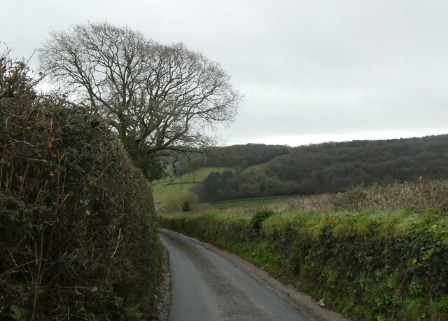
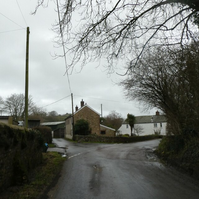
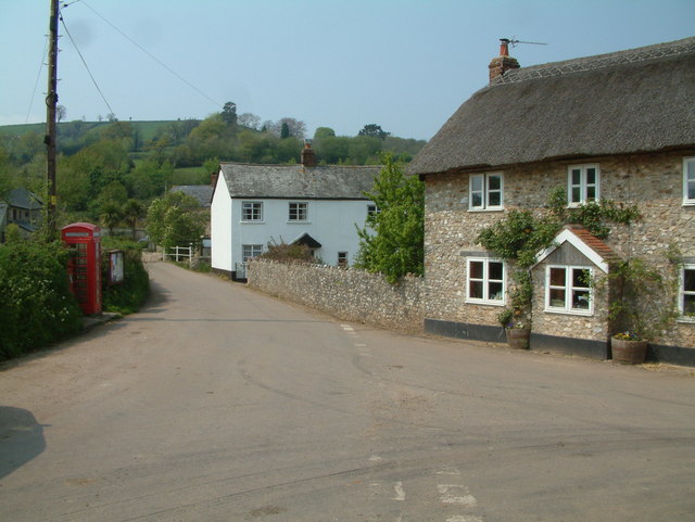
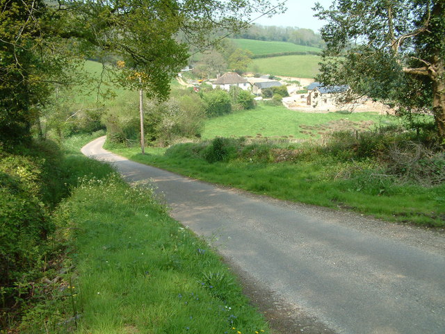
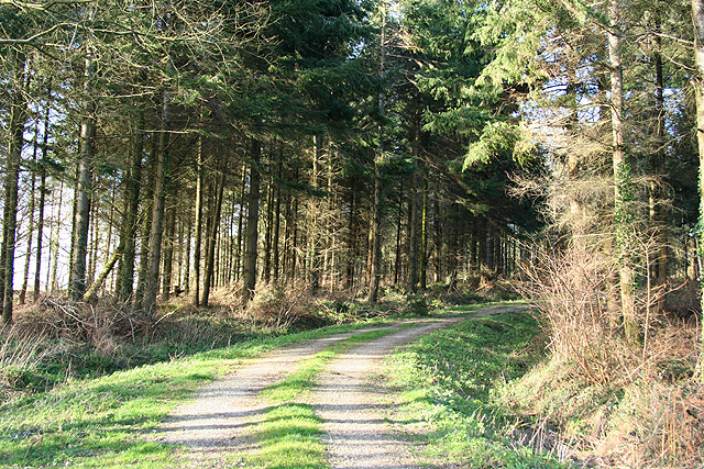
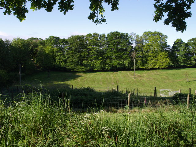
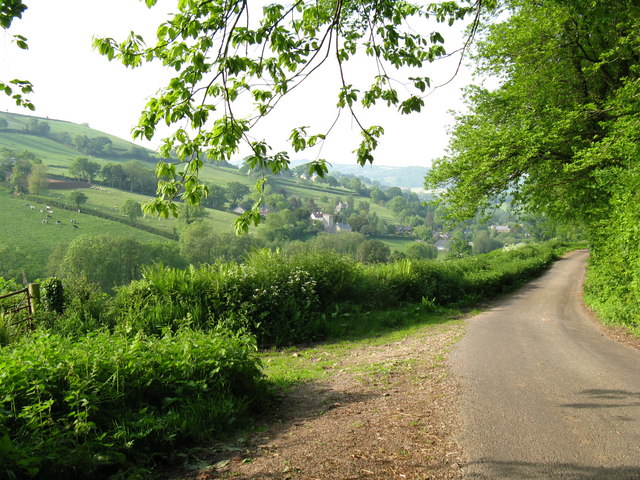
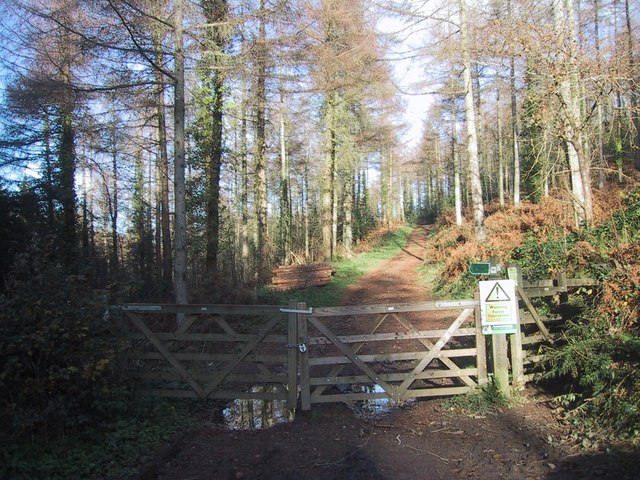
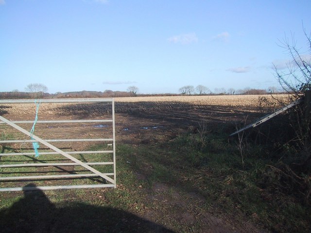
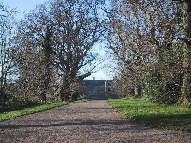
Van Dieman's Land is characterized by its rugged and diverse landscape, encompassing rolling hills, open grassland, and expansive moors. The region is renowned for its natural beauty and is a popular destination for outdoor enthusiasts and nature lovers. The area is dotted with charming villages and historic towns, offering a glimpse into Devon's rich history and culture.

The climate in Van Dieman's Land is typically mild, with warm summers and cool winters. The region experiences a moderate amount of rainfall throughout the year, contributing to its lush greenery and vibrant flora. The area is home to a variety of wildlife, including birds, mammals, and reptiles, making it a haven for nature enthusiasts and birdwatchers.

Van Dieman's Land is also known for its agriculture, with sheep farming being a prominent industry in the area. The fertile soils and favorable climate allow for the cultivation of crops such as barley, oats, and potatoes. Additionally, the region has a long-standing tradition of dairy farming, producing high-quality milk and cheese.

Overall, Van Dieman's Land, Devon, is a picturesque and diverse region, offering a unique blend of natural beauty, historical sites, and agricultural significance. Its charming landscapes and rich heritage make it a must-visit destination for both locals and tourists alike.

If you have any feedback on the listing, please let us know in the comments section below.

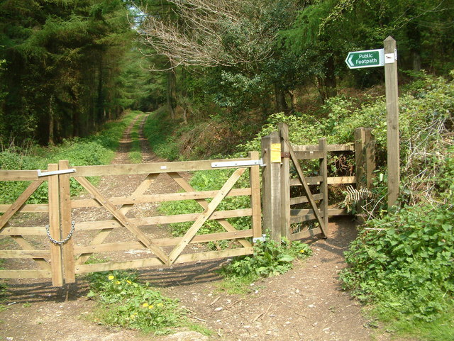
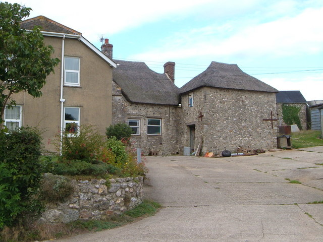
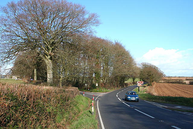
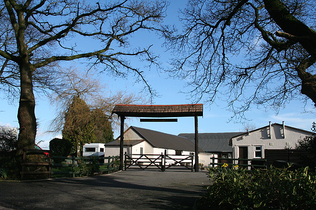
Van Dieman's Land Images

Images are sourced within 2km of 50.719731/-3.135562 or Grid Reference SY1991. Thanks to Geograph Open Source API. All images are credited.

The valley south of Southleigh The woodland in the centre is just south of Tottiskay Farm (hidden by the hedge)
The valley south of Southleigh
The woodland in the centre is just south of Tottiskay Farm (hidden by the hedge)
Road junction in Southleigh, and bridge over stream
Southleigh Village, Devon Southleigh is located within East Devon local authority area. Historically it formed part of Colyton Hundred.
Southleigh Village, Devon
Southleigh is located within East Devon local authority area. Historically it formed part of Colyton Hundred.
Stockham, Devon This is about 2 miles north of Hangmans Stone on the A35. Lots of building work was taking place when the photo was taken.
Stockham, Devon
This is about 2 miles north of Hangmans Stone on the A35. Lots of building work was taking place when the photo was taken.
Footpath, Bovey Down, Devon This is just north of the A35.
Footpath, Bovey Down, Devon
This is just north of the A35.
Woodhead Farm, Branscombe The old thatched farmhouse with modern extension is set high above the Branscombe valley, at the top of the steep Seller's Wood Hill.
Woodhead Farm, Branscombe
The old thatched farmhouse with modern extension is set high above the Branscombe valley, at the top of the steep Seller's Wood Hill.
Beer: Stafford Cross On the A3052 Exeter – Lyme Regis road, looking east-north-east towards Colyford. The left turn leads to Colyton. The lane on the right runs up from Branscombe and Beer. The crossroads is on the boundary between Beer and Colyton parishes
Beer: Stafford Cross
On the A3052 Exeter – Lyme Regis road, looking east-north-east towards Colyford. The left turn leads to Colyton. The lane on the right runs up from Branscombe and Beer. The crossroads is on the boundary between Beer and Colyton parishes
Colyton: Leacroft Caravan Park Looking east by the entrance, still closed before the 2007 spring season
Colyton: Leacroft Caravan Park
Looking east by the entrance, still closed before the 2007 spring season
Southleigh: Morganhayes Once Morganhayes Covert, now a Forestry Commission plantation. Looking north
Southleigh: Morganhayes
Once Morganhayes Covert, now a Forestry Commission plantation. Looking north
Field beside drive to Bovey House The oaks shading the camera are at the east end of the drive, which crosses into <a href="https://www.geograph.org.uk/gridref/SY2090">SY2090</a> to the right. The photo shows the eastern end of the field to the south of the drive, occupying a shallow valley, which is crossed on the left by the lane to Bovey Fir Cross.
Field beside drive to Bovey House
The oaks shading the camera are at the east end of the drive, which crosses into SY2090 to the right. The photo shows the eastern end of the field to the south of the drive, occupying a shallow valley, which is crossed on the left by the lane to Bovey Fir Cross.
Lane to Southleigh Village Country Lane from Blackbury Camp to Southleigh Village
Lane to Southleigh Village
Country Lane from Blackbury Camp to Southleigh Village
Road junction north-west of Bovey Down
Forest track on Bovey Down
Stubble field near Bovey House The map indicates forest in this area, but there is no sign of it on the ground.  (Nor on my - older - map.)
Stubble field near Bovey House
The map indicates forest in this area, but there is no sign of it on the ground. (Nor on my - older - map.)
Drive to Bovey House
Road junction by Woodhead Farm
Gorse growing along the hedgeline
Paths cross in the woods on Bovey Down
Show me another place!

Van Dieman's Land is located at Grid Ref: SY1991 (Lat: 50.719731, Lng: -3.135562)

Administrative County: Devon

District: East Devon

Police Authority: Devon and Cornwall

What 3 Words

///himself.removals.sped. Near Colyton, Devon

Related Wikis

Blackbury Camp

Blackbury Camp, also known as Blackbury Castle, is an Iron Age hill fort in Devon, England. It is managed by English Heritage. == Location == Blackbury...

Wiscombe Park Hillclimb

Wiscombe Park Hillclimb is a British hillclimb, situated in Colyton, Devon. The course, which is 1000 yards (914 metres) in length — the same as Shelsley...

Wiscombe Park

Wiscombe Park is a 19th-century Gothic country house in Southleigh, Devon, UK which stands in parkland some 3 miles west of Colyton. The house is a grade...

Southleigh

Southleigh is a village and civil parish in the East Devon district of Devon, England. Its nearest town is Colyton, which lies approximately 3 miles (4...

Nearby Amenities

Located within 500m of 50.719731,-3.135562
Ford: yes
Lat/Long: 50.7178333/-3.1322318
Generator Method: photovoltaic
Generator Output Electricity: yes
Generator Source: solar
Generator Type: solar_photovoltaic_panel
Location: roof
Power: generator
Source: Bing
Lat/Long: 50.721483/-3.140624
The data included in this document is from www.openstreetmap.org. The data is made available under ODbL.

Have you been to Van Dieman's Land?

Leave your review of Van Dieman's Land below (or comments, questions and feedback).