Stonehayes Hanging
Wood, Forest in Devon East Devon
England
Stonehayes Hanging
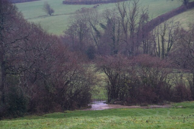
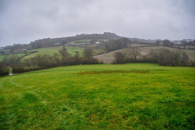
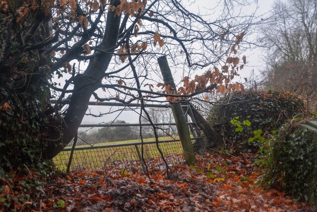
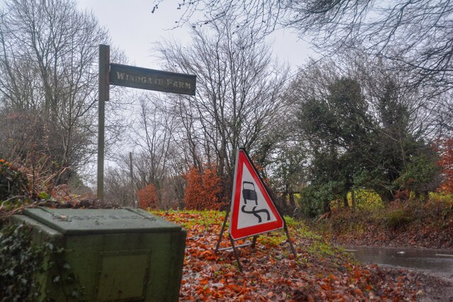
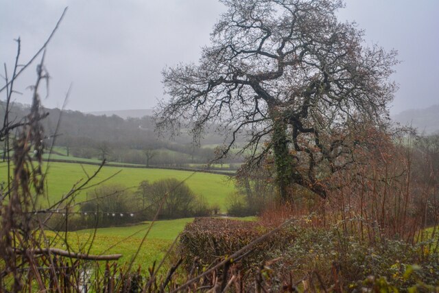
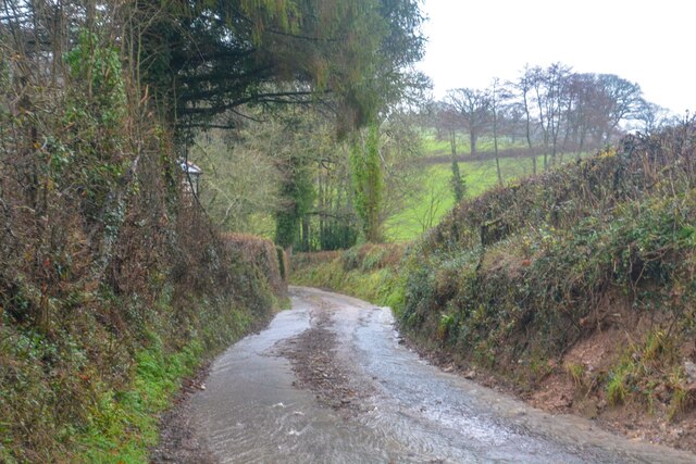
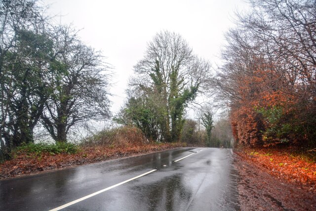
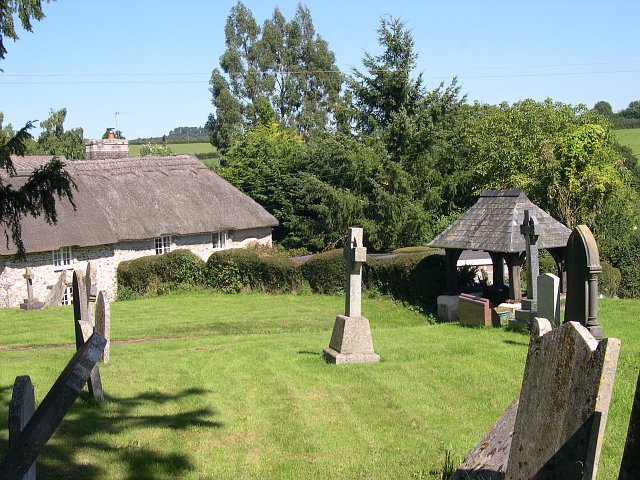
Stonehayes Hanging is a picturesque woodland located in Devon, England. Situated in the heart of the county, this enchanting forest covers an area of approximately 200 acres. The woodland is known for its rich biodiversity and stunning natural beauty, making it a popular destination for nature enthusiasts and hikers.
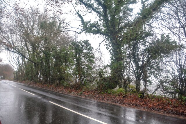
The forest is predominantly made up of a mix of deciduous and coniferous trees, providing a diverse habitat for a wide range of plant and animal species. Ancient oak and beech trees stand tall, creating a dense canopy that filters the sunlight and adds to the ethereal atmosphere of the woodland.
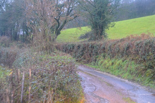
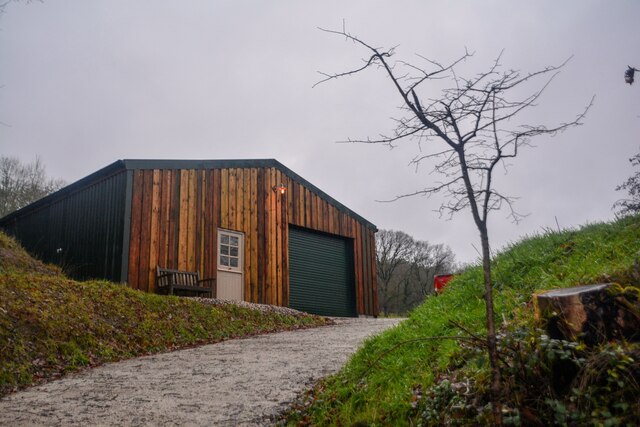
Stonehayes Hanging is crisscrossed by a network of well-maintained walking trails, allowing visitors to explore its hidden gems. These trails wind through the forest, leading to scenic viewpoints, tranquil streams, and secluded picnic spots. The forest also boasts a variety of wildlife, including deer, badgers, foxes, and a plethora of bird species, making it a haven for wildlife enthusiasts and birdwatchers.
The forest is managed by the local authorities, who work tirelessly to preserve its natural beauty and protect the delicate ecosystem. Visitors are encouraged to respect the environment by sticking to designated paths and taking any litter with them.
Overall, Stonehayes Hanging offers a serene and captivating experience for those seeking tranquility in nature. Its ancient trees, diverse wildlife, and well-maintained trails make it a must-visit destination for anyone exploring the Devon countryside.
If you have any feedback on the listing, please let us know in the comments section below.
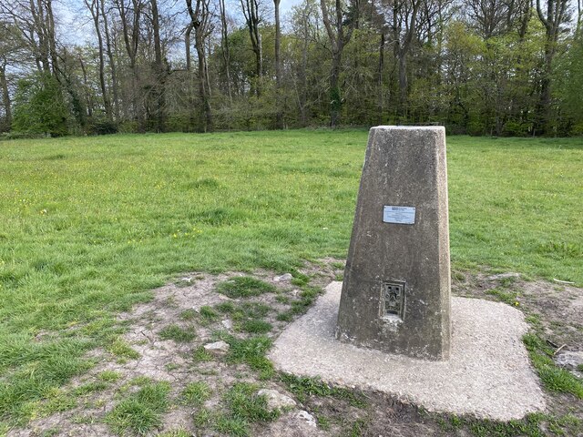
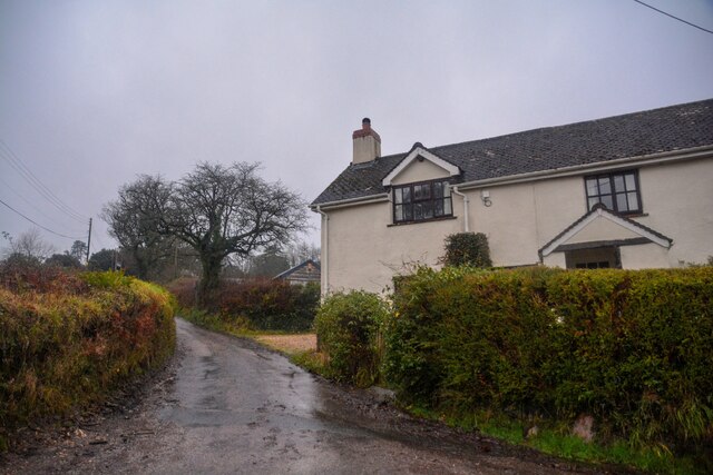
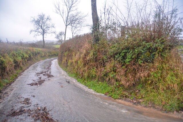
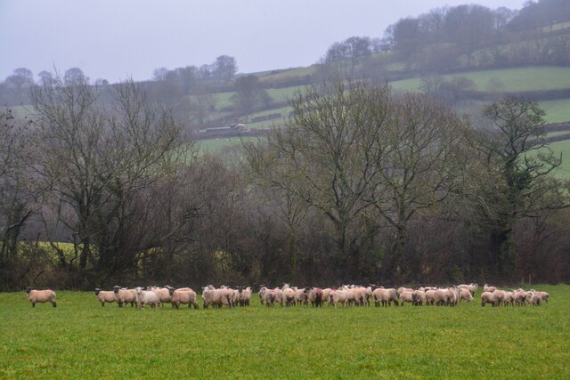
Stonehayes Hanging Images
Images are sourced within 2km of 50.826307/-3.1896723 or Grid Reference ST1603. Thanks to Geograph Open Source API. All images are credited.

Stonehayes Hanging is located at Grid Ref: ST1603 (Lat: 50.826307, Lng: -3.1896723)
Administrative County: Devon
District: East Devon
Police Authority: Devon and Cornwall
What 3 Words
///among.buzz.pokers. Near Honiton, Devon
Nearby Locations
Related Wikis

Combe Raleigh
Combe Raleigh () is a village and civil parish in the county of Devon, England. The village lies about 1.5 miles north of the town of Honiton, and the...
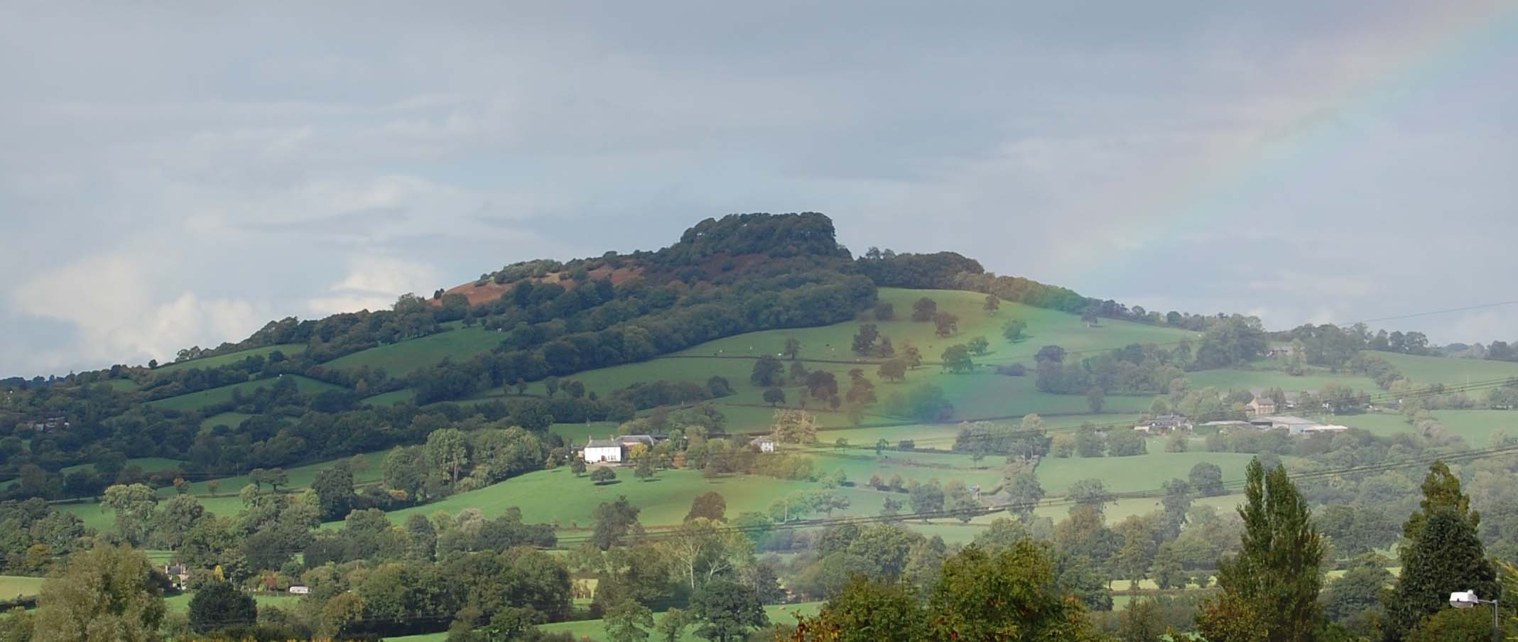
Dumpdon Hill
Dumpdon Hill is an Iron Age Hill Fort near Honiton in Devon. Somewhat overshadowed by its better known neighbour Hembury Fort it is nonetheless as impressive...

Monkton, Devon
Monkton is a village and civil parish on the River Otter, about 2 miles north east of Honiton railway station, in the East Devon district, in the county...

Hartridge Hill
Hartridge Hill is an elongated, peat hill situated in the Luppitt catchment area of East Devon, England. Mostly privately owned and primarily used for...
Nearby Amenities
Located within 500m of 50.826307,-3.1896723Have you been to Stonehayes Hanging?
Leave your review of Stonehayes Hanging below (or comments, questions and feedback).