Great Copse
Wood, Forest in Devon East Devon
England
Great Copse
Great Copse is a picturesque woodland located in Devon, England. Situated near the small village of Newton Ferrers, it covers an area of approximately 50 acres and forms part of the larger Dartmoor National Park.
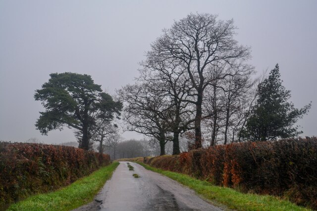
The copse is characterized by its diverse array of trees, including oak, beech, birch, and ash, which create a dense and enchanting forest canopy. The trees are of varying ages, with some towering giants dating back hundreds of years, while others are younger and still growing. The forest floor is covered with a rich carpet of ferns, bluebells, and wildflowers, adding to the area's natural beauty.
The woodland is home to a wide range of wildlife, making it a popular spot for nature enthusiasts. Red squirrels, badgers, foxes, and numerous bird species, such as woodpeckers and owls, can be spotted within its boundaries. The copse also serves as a habitat for various insects and small mammals.
Great Copse offers visitors the opportunity to explore its tranquil surroundings through a network of walking trails. These well-maintained paths wind through the forest, providing access to hidden glades, secret clearings, and babbling brooks. The copse is particularly popular in the spring when the forest comes alive with vibrant colors and the songs of birds.
Due to its location within Dartmoor National Park, Great Copse is subject to conservation efforts aimed at preserving its natural beauty and protecting its delicate ecosystem. Visitors are encouraged to respect the forest by following designated trails and refraining from littering or disturbing the wildlife.
Overall, Great Copse in Devon is a captivating woodland that offers visitors a peaceful retreat into nature, with its ancient trees, flourishing flora, and abundant wildlife.
If you have any feedback on the listing, please let us know in the comments section below.
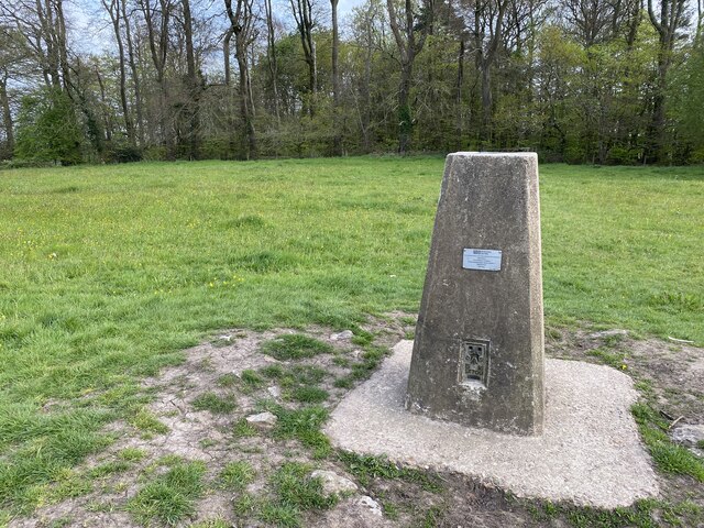
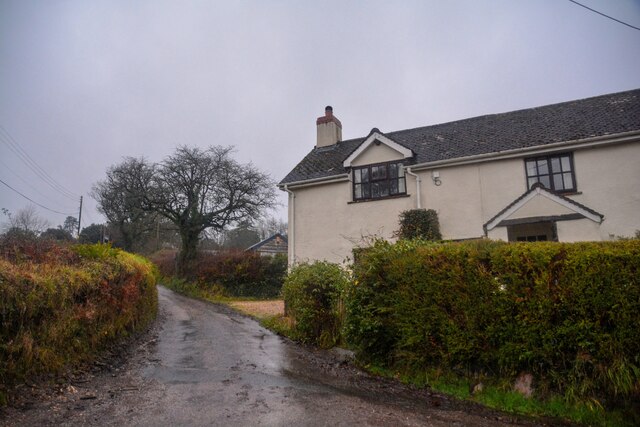
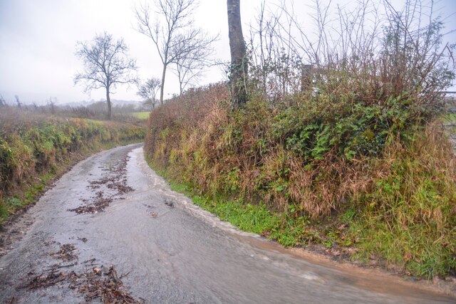
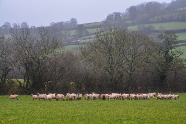
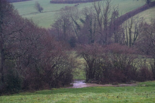
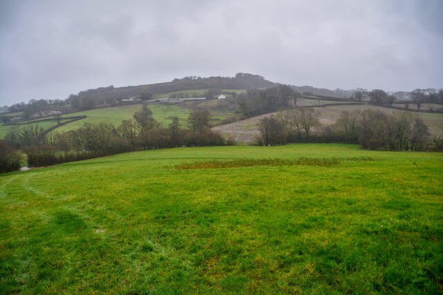
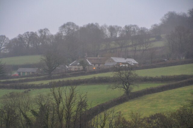
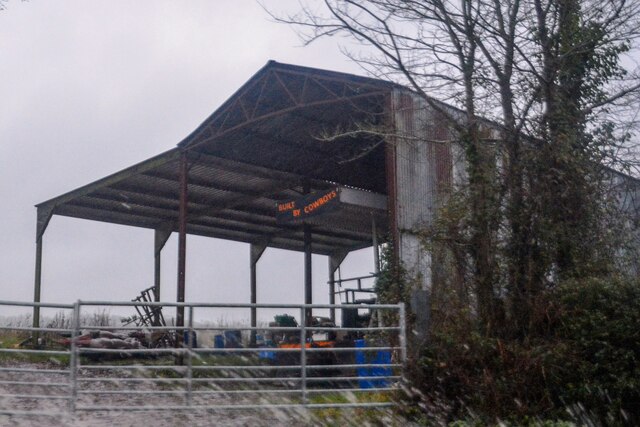
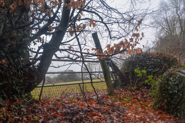
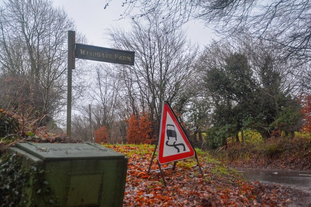
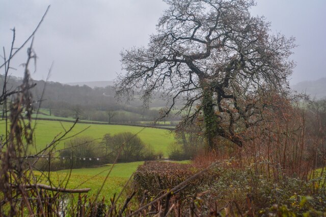
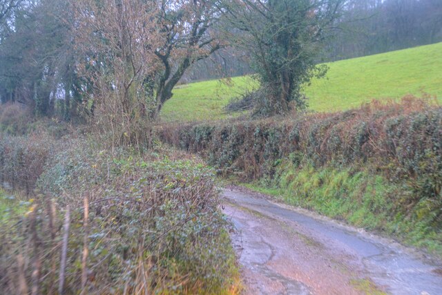
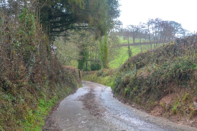
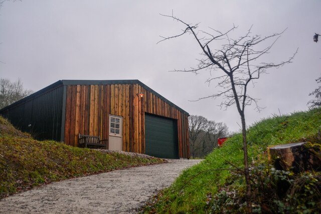
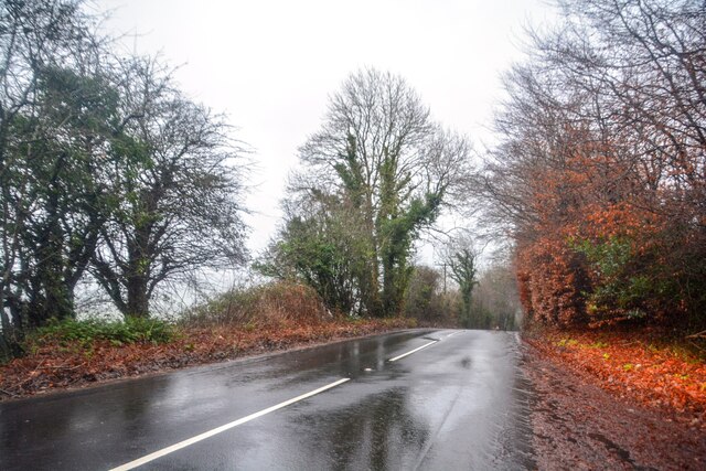
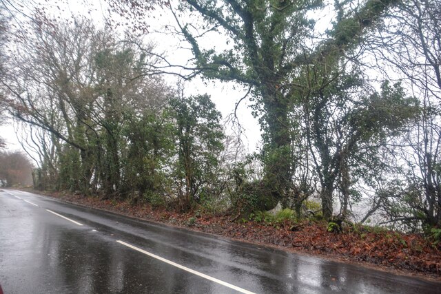
Great Copse Images
Images are sourced within 2km of 50.828054/-3.1929825 or Grid Reference ST1603. Thanks to Geograph Open Source API. All images are credited.

Great Copse is located at Grid Ref: ST1603 (Lat: 50.828054, Lng: -3.1929825)
Administrative County: Devon
District: East Devon
Police Authority: Devon and Cornwall
What 3 Words
///caves.jumpy.ticket. Near Honiton, Devon
Nearby Locations
Related Wikis

Combe Raleigh
Combe Raleigh () is a village and civil parish in the county of Devon, England. The village lies about 1.5 miles north of the town of Honiton, and the...
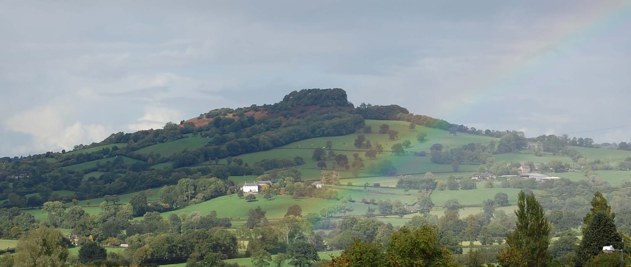
Dumpdon Hill
Dumpdon Hill is an Iron Age Hill Fort near Honiton in Devon. Somewhat overshadowed by its better known neighbour Hembury Fort it is nonetheless as impressive...
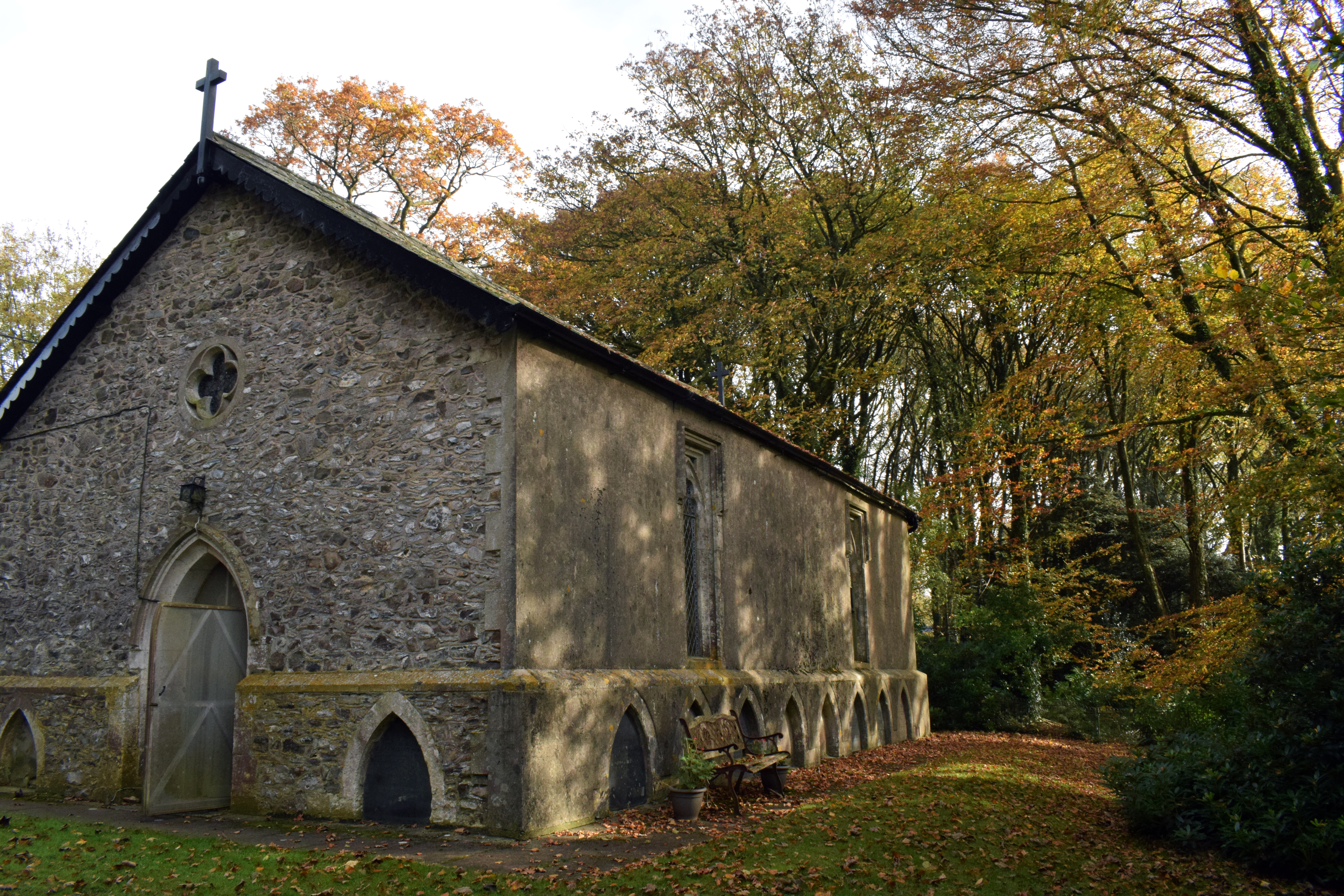
Wolford Chapel
Wolford Chapel in Devon, England, is the burial place of John Graves Simcoe, the first lieutenant governor of Upper Canada. It is the territory of the...

Hartridge Hill
Hartridge Hill is an elongated, peat hill situated in the Luppitt catchment area of East Devon, England. Mostly privately owned and primarily used for...
Nearby Amenities
Located within 500m of 50.828054,-3.1929825Have you been to Great Copse?
Leave your review of Great Copse below (or comments, questions and feedback).