Moor Copse
Wood, Forest in Devon East Devon
England
Moor Copse
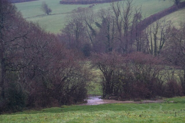
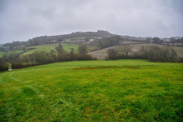
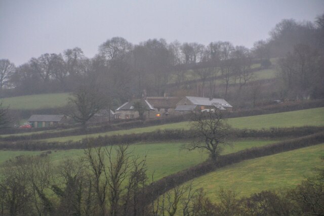
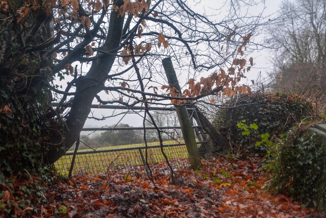
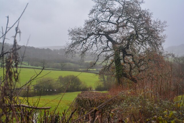
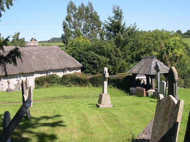
Moor Copse is a picturesque woodland located in Devon, England. It covers an area of approximately 100 acres and is situated on the outskirts of a small rural town. The copse is a popular destination for nature enthusiasts and walkers due to its diverse range of flora and fauna.
The woodland is predominantly made up of deciduous trees, such as oak, beech, and ash, which provide a stunning display of colors throughout the seasons. The forest floor is covered with a rich carpet of wildflowers, including bluebells, primroses, and wood anemones, creating a vibrant and enchanting atmosphere.
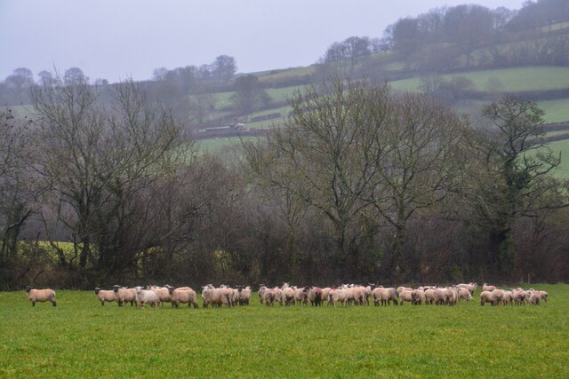
Moor Copse is also home to a variety of wildlife species. Visitors may spot deer, rabbits, and squirrels roaming freely among the trees, while birdwatchers can enjoy the sight of numerous bird species, including woodpeckers, owls, and thrushes. The copse is especially known for its diverse bird population, making it a haven for ornithologists and bird lovers.
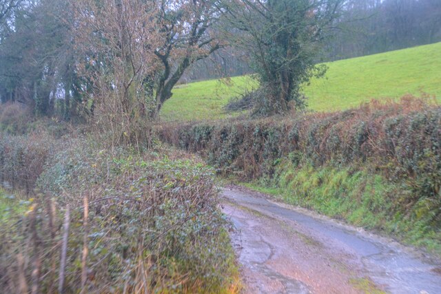
Several well-maintained footpaths wind through the copse, providing visitors with the opportunity to explore and admire the natural beauty of the woodland. Information boards along the trails offer insight into the different tree species and wildlife that can be found in the area.
Moor Copse is not only a place of natural beauty but also an important conservation area. Local authorities and volunteers work together to preserve and protect this precious ecosystem, ensuring that future generations can continue to enjoy its wonders.
If you have any feedback on the listing, please let us know in the comments section below.
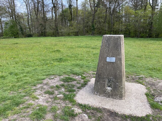
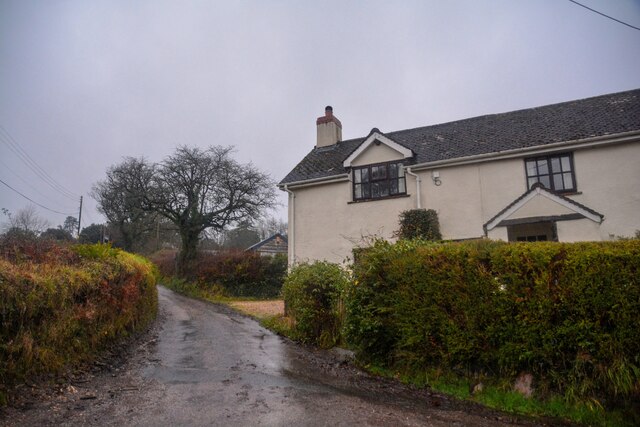
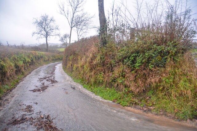
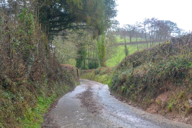
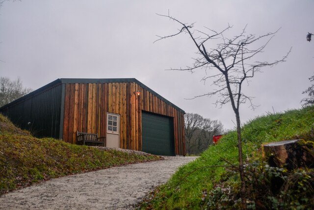
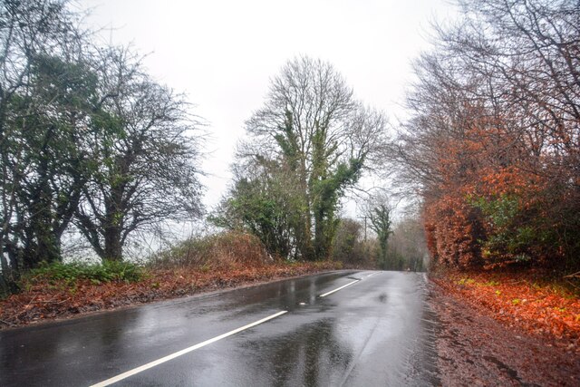
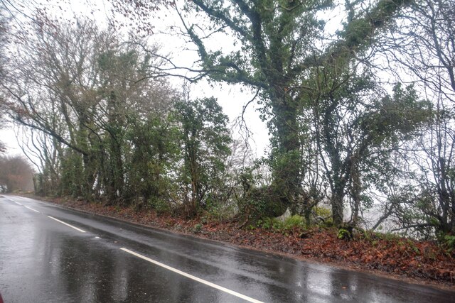
Moor Copse Images
Images are sourced within 2km of 50.826569/-3.1895796 or Grid Reference ST1603. Thanks to Geograph Open Source API. All images are credited.

Moor Copse is located at Grid Ref: ST1603 (Lat: 50.826569, Lng: -3.1895796)
Administrative County: Devon
District: East Devon
Police Authority: Devon and Cornwall
What 3 Words
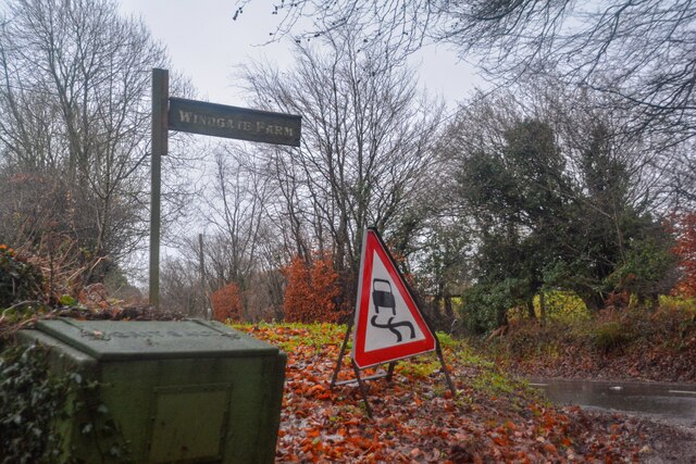
///gloves.dips.porch. Near Honiton, Devon
Nearby Locations
Related Wikis
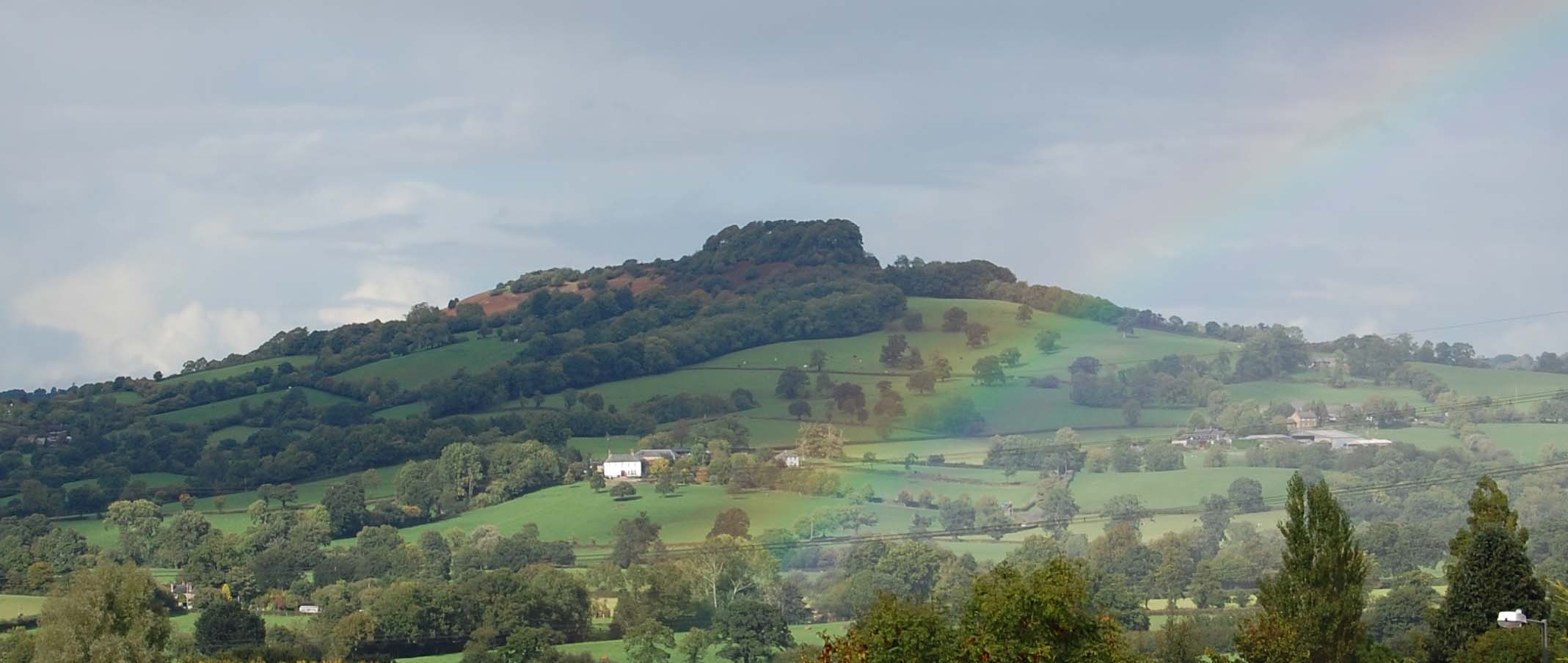
Dumpdon Hill
Dumpdon Hill is an Iron Age Hill Fort near Honiton in Devon. Somewhat overshadowed by its better known neighbour Hembury Fort it is nonetheless as impressive...

Combe Raleigh
Combe Raleigh () is a village and civil parish in the county of Devon, England. The village lies about 1.5 miles north of the town of Honiton, and the...

Monkton, Devon
Monkton is a village and civil parish on the River Otter, about 2 miles north east of Honiton railway station, in the East Devon district, in the county...

Hartridge Hill
Hartridge Hill is an elongated, peat hill situated in the Luppitt catchment area of East Devon, England. Mostly privately owned and primarily used for...
Nearby Amenities
Located within 500m of 50.826569,-3.1895796Have you been to Moor Copse?
Leave your review of Moor Copse below (or comments, questions and feedback).