Six Acre Copse
Wood, Forest in Devon East Devon
England
Six Acre Copse
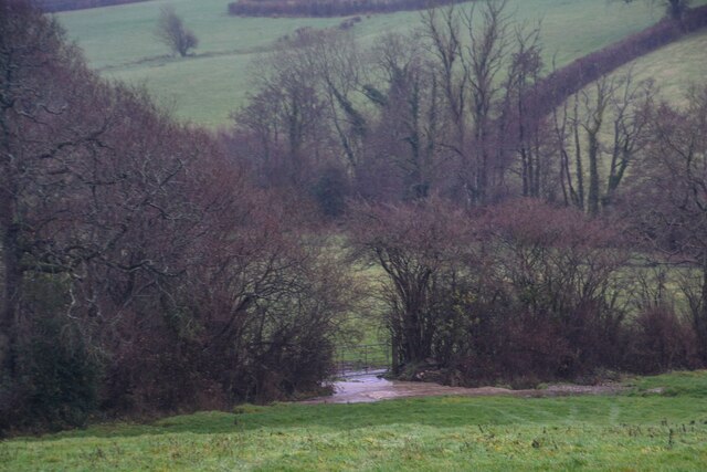
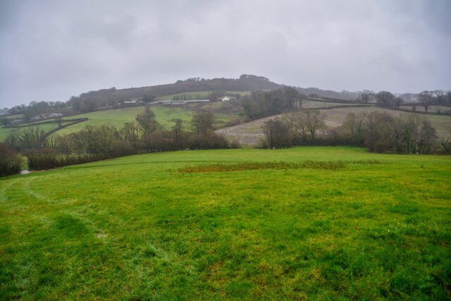
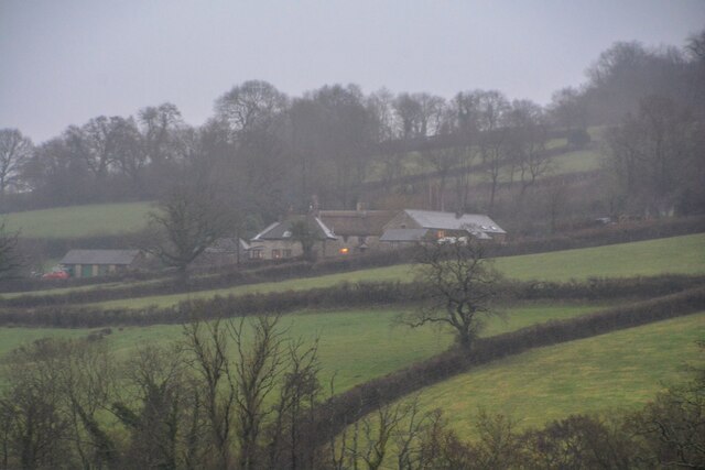
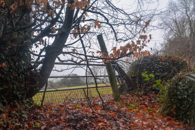
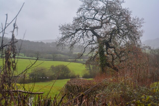
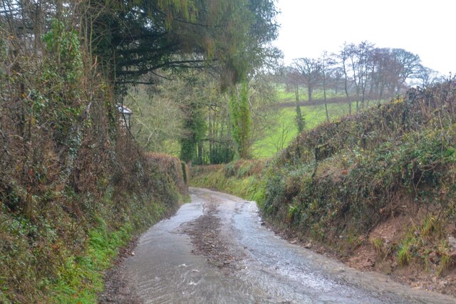
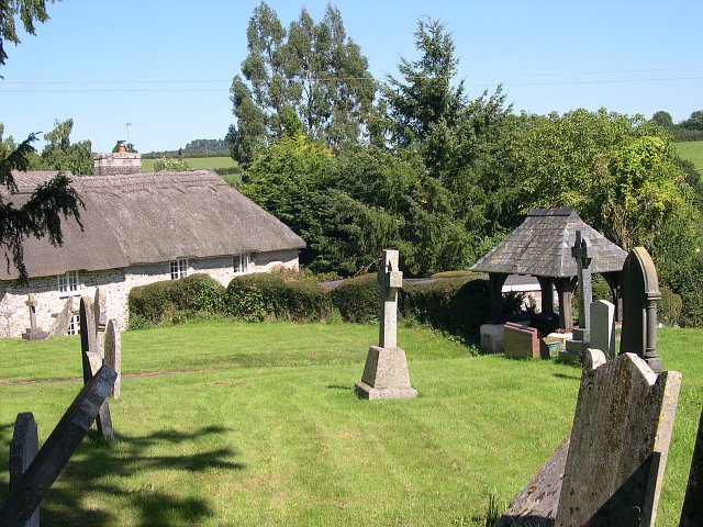
Six Acre Copse is a charming woodland located in the county of Devon, England. Situated near the village of Newton Abbot, this copse covers an area of approximately six acres, as its name suggests. The copse is known for its serene and picturesque setting, making it an ideal destination for nature enthusiasts and those seeking tranquility.
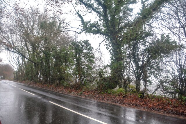
The copse is predominantly composed of various species of trees, including oak, beech, and ash. The lush foliage provides a dense canopy, creating a shady and cool environment even on hot summer days. The forest floor is covered with a thick carpet of ferns, wildflowers, and moss, adding to the copse's enchanting beauty.
Six Acre Copse is home to a diverse range of wildlife. Visitors may spot a variety of bird species, such as woodpeckers, tits, and warblers, as they navigate through the treetops. Squirrels can often be seen scurrying along the branches, while rabbits and small mammals seek shelter in the undergrowth. The copse also acts as a habitat for various insects, including butterflies and beetles.
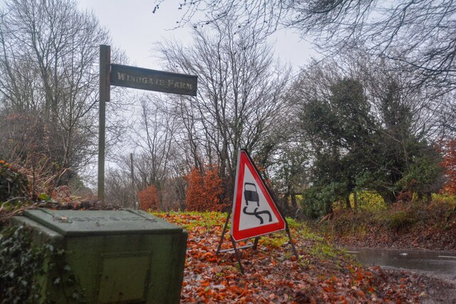
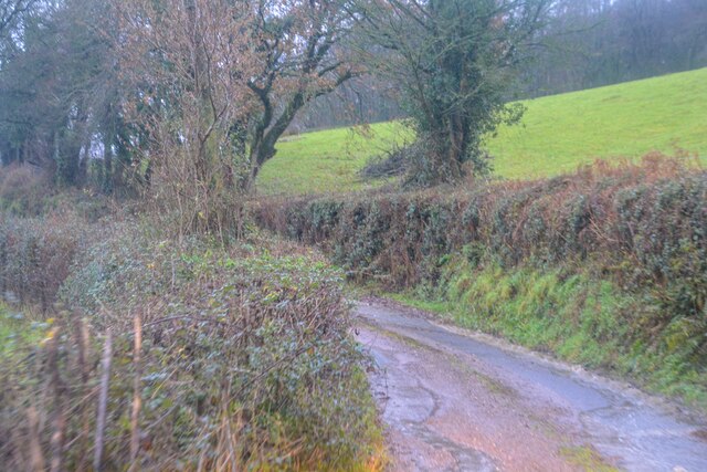
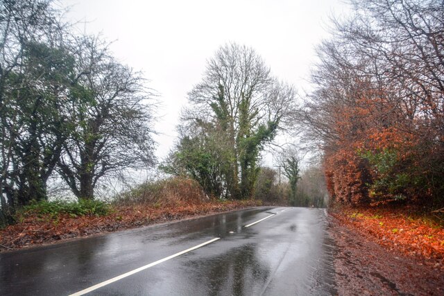
The copse features a network of well-maintained footpaths, allowing visitors to explore its beauty at their leisure. These paths wind through the woodland, giving glimpses of sunlight filtering through the trees and providing opportunities for peaceful walks and picnics. The copse also offers picnic areas and benches for visitors to relax and immerse themselves in the natural surroundings.
Overall, Six Acre Copse is a hidden gem in Devon, offering a tranquil escape from the hustle and bustle of everyday life. Its stunning woodland, diverse wildlife, and peaceful atmosphere make it a must-visit destination for nature lovers and those seeking solace in the beauty of nature.
If you have any feedback on the listing, please let us know in the comments section below.
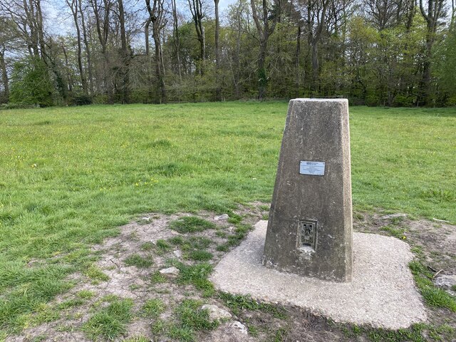
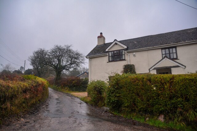
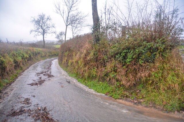
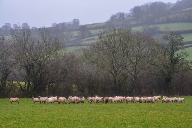
Six Acre Copse Images
Images are sourced within 2km of 50.826553/-3.1884291 or Grid Reference ST1603. Thanks to Geograph Open Source API. All images are credited.

Six Acre Copse is located at Grid Ref: ST1603 (Lat: 50.826553, Lng: -3.1884291)
Administrative County: Devon
District: East Devon
Police Authority: Devon and Cornwall
What 3 Words
///hats.roofs.jukebox. Near Honiton, Devon
Nearby Locations
Related Wikis
Dumpdon Hill
Dumpdon Hill is an Iron Age Hill Fort near Honiton in Devon. Somewhat overshadowed by its better known neighbour Hembury Fort it is nonetheless as impressive...

Combe Raleigh
Combe Raleigh () is a village and civil parish in the county of Devon, England. The village lies about 1.5 miles north of the town of Honiton, and the...

Monkton, Devon
Monkton is a village and civil parish on the River Otter, about 2 miles north east of Honiton railway station, in the East Devon district, in the county...

Hartridge Hill
Hartridge Hill is an elongated, peat hill situated in the Luppitt catchment area of East Devon, England. Mostly privately owned and primarily used for...
Nearby Amenities
Located within 500m of 50.826553,-3.1884291Have you been to Six Acre Copse?
Leave your review of Six Acre Copse below (or comments, questions and feedback).