Gortnell Common
Wood, Forest in Somerset Somerset West and Taunton
England
Gortnell Common

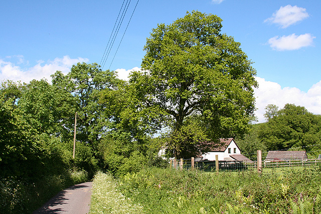
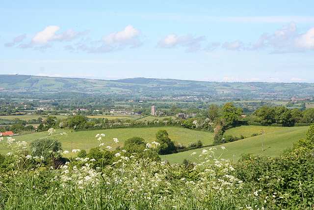
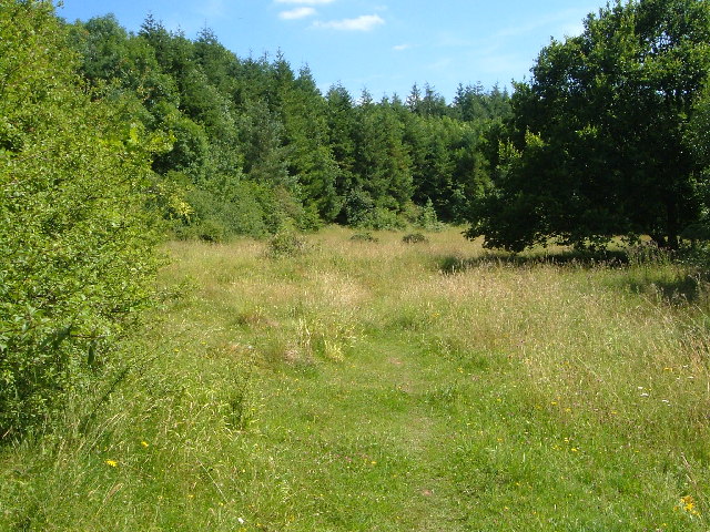
Gortnell Common, located in Somerset, England, is a picturesque woodland area renowned for its natural beauty and rich ecological diversity. Spanning over several hectares, this enchanting forest is a haven for outdoor enthusiasts and nature lovers alike.
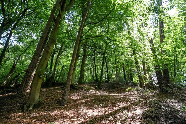
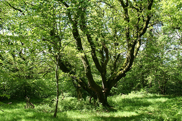
The common is dominated by a dense canopy of ancient oak, beech, and ash trees, creating a serene and peaceful atmosphere. The woodland floor is covered with a vibrant carpet of mosses, ferns, and wildflowers, adding to the area's charm and allure. The forest is also home to a plethora of wildlife, including deer, foxes, badgers, and a wide variety of bird species, making it an ideal spot for wildlife enthusiasts and birdwatchers.
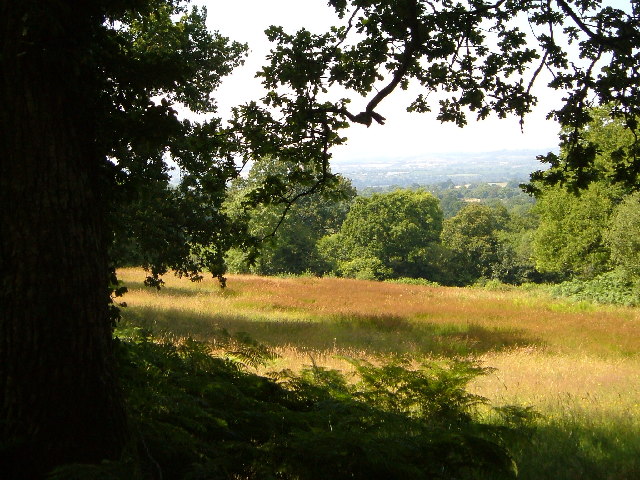
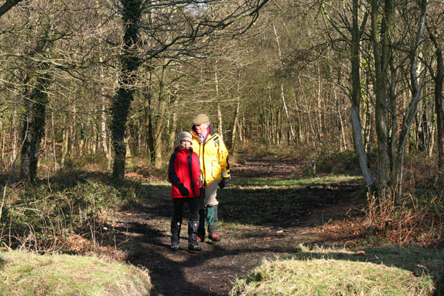
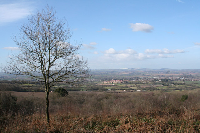
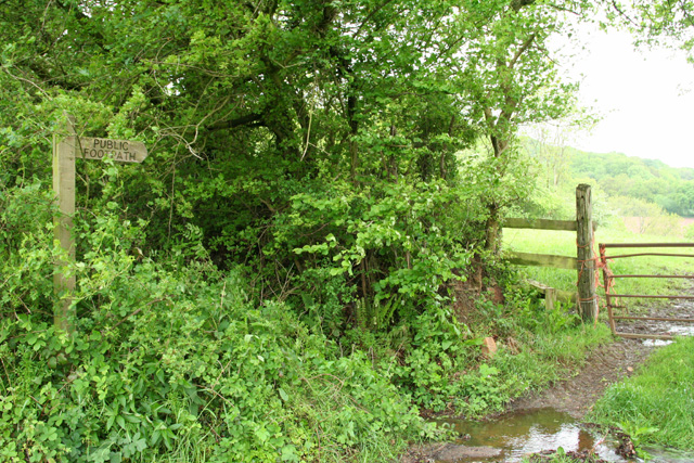
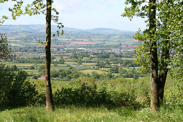
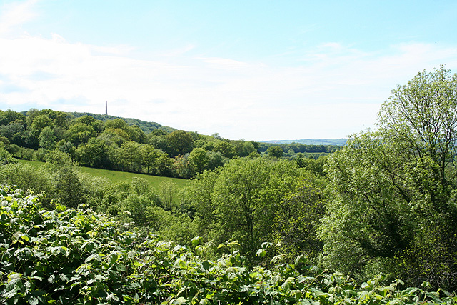
Gortnell Common offers numerous walking trails and paths, allowing visitors to explore its hidden treasures. The well-maintained pathways wind through the forest, providing glimpses of beautiful vistas and secluded clearings. These trails are suitable for all abilities, making the common an accessible destination for families and individuals of all ages.
Moreover, Gortnell Common is steeped in history, with evidence of human habitation dating back centuries. There are remnants of ancient settlements and earthworks, providing a fascinating insight into the area's past.
The common is conveniently located near the charming village of Gortnell, which offers a range of amenities, including quaint tea rooms and country pubs, allowing visitors to enjoy a well-deserved break after a day of exploring the woodland.
In summary, Gortnell Common is a captivating woodland area in Somerset, offering a tranquil retreat for nature enthusiasts and providing an opportunity to immerse oneself in the beauty of the natural world.
If you have any feedback on the listing, please let us know in the comments section below.
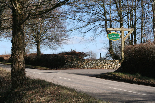
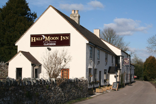
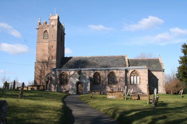
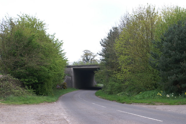
Gortnell Common Images
Images are sourced within 2km of 50.950966/-3.1922692 or Grid Reference ST1617. Thanks to Geograph Open Source API. All images are credited.


Gortnell Common is located at Grid Ref: ST1617 (Lat: 50.950966, Lng: -3.1922692)
Administrative County: Somerset
District: Somerset West and Taunton
Police Authority: Avon and Somerset
What 3 Words
///pouch.garlic.rigid. Near Hemyock, Devon
Nearby Locations
Related Wikis
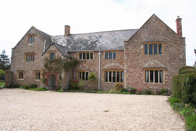
Gerbestone Manor
Gerbestone Manor in West Buckland, Somerset, England was largely rebuilt in the late 16th century, although some fabric from the 13th century house remains...
Clayhidon
Clayhidon () is a village and civil parish in Mid Devon, England. The parish church is St. Andrews. The parish is in the Blackdown Hills and its northern...
Quants Reserve
Quants Reserve is a nature reserve north west of Burnworthy in Somerset, England. It consists of a grassland clearing in a forestry plantation. It is well...

South West England
South West England, or the South West of England, is one of the nine official regions of England in the United Kingdom. It consists of the counties of...

Ringdown SSSI, Somerset
Ringdown (grid reference ST178155) is a 4.0 hectare (9.9 acre) biological Site of Special Scientific Interest west of Burnworthy in the Blackdown Hills...

Wellington Rural District, Somerset
Wellington was a rural district in Somerset, England, from 1894 to 1974. It was created in 1894 under the Local Government Act 1894. In 1974 it was abolished...

Wellington Without
Wellington Without is a civil parish in Somerset, England. It lies south of Wellington and has a population of 727. The parish includes the hamlet of Ford...

Wellington Monument, Somerset
The Wellington Monument is a 175-foot-high (53 m) triangular obelisk located on a point of the Blackdown Hills, 3 km (1.9 miles) south of Wellington in...
Nearby Amenities
Located within 500m of 50.950966,-3.1922692Have you been to Gortnell Common?
Leave your review of Gortnell Common below (or comments, questions and feedback).