Rowbarrow Plantation
Wood, Forest in Devon East Devon
England
Rowbarrow Plantation

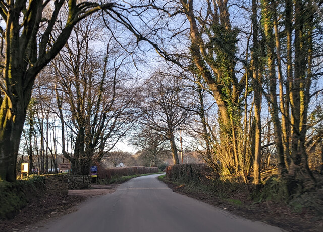
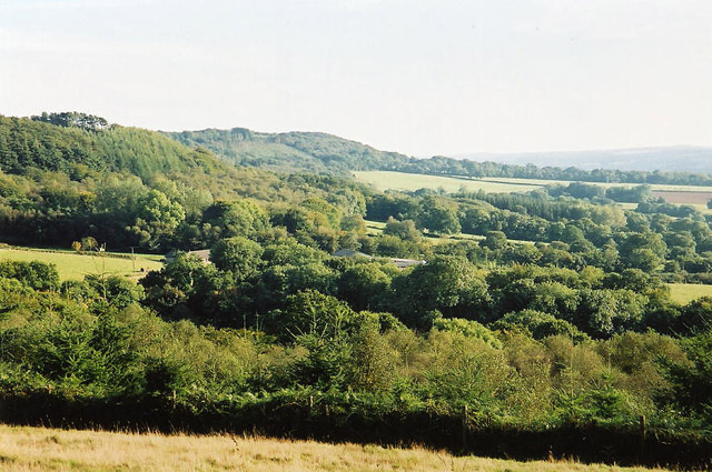
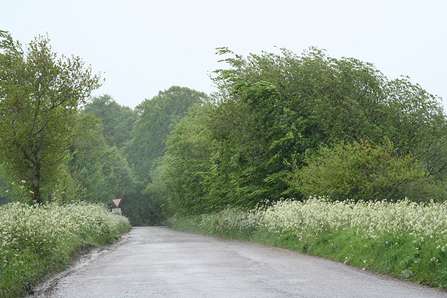
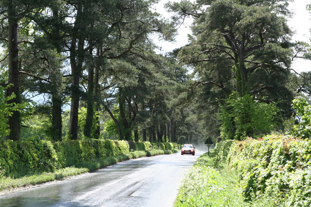
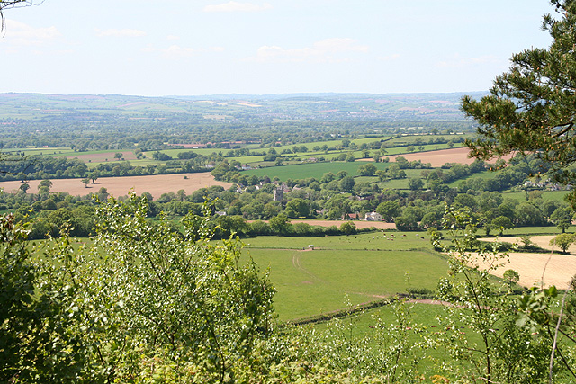
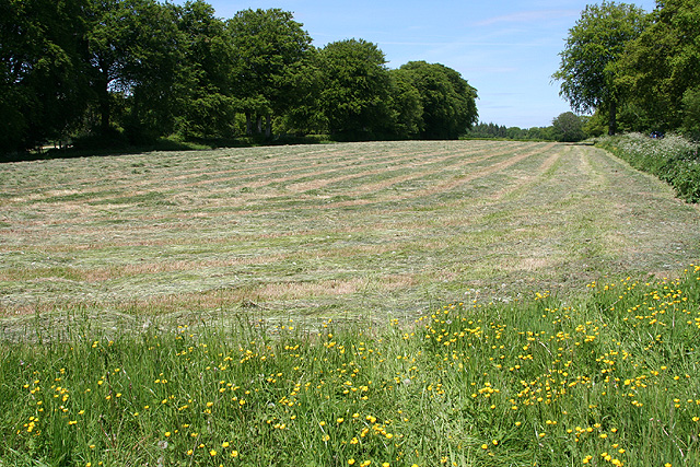
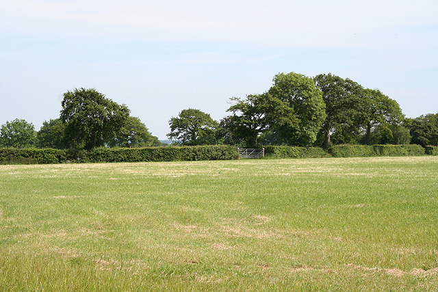
Rowbarrow Plantation is a renowned woodland located in the county of Devon, England. Spread across a vast area, this enchanting forest is a hidden gem for nature enthusiasts and outdoor enthusiasts alike. The plantation is situated amidst the picturesque countryside, with rolling hills and scenic landscapes adding to its charm.
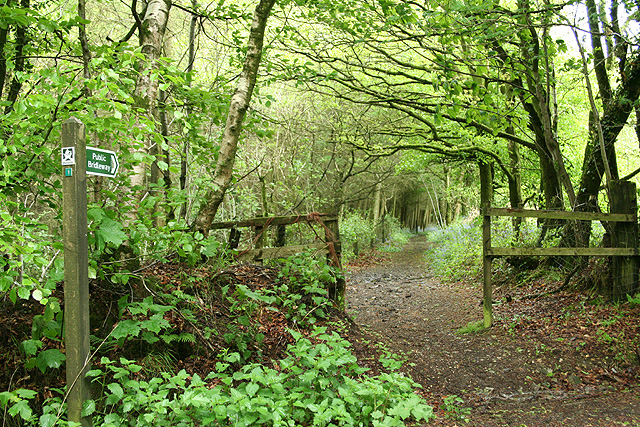
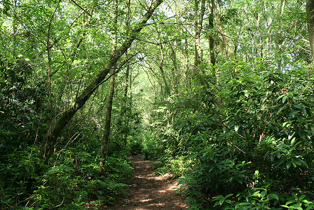
The woodland is primarily composed of a diverse mix of trees, including oak, beech, and birch. This rich variety of flora provides a thriving habitat for a multitude of wildlife species. Visitors to Rowbarrow Plantation can expect to encounter an array of birds, such as woodpeckers, thrushes, and owls, as well as small mammals like squirrels and rabbits.
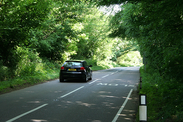
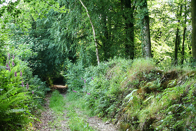
The woodland offers a network of well-maintained footpaths and trails, making it an ideal location for walking, hiking, and cycling. These paths wind their way through the forest, offering visitors the opportunity to explore its beauty at their own pace. Along the way, one can enjoy the tranquil ambiance, breathe in the fresh air, and admire the vibrant colors of the changing seasons.
Rowbarrow Plantation is also a popular destination for nature photography and birdwatching. The abundance of wildlife and the stunning natural scenery make it a haven for capturing captivating images or simply enjoying the sights and sounds of the forest.
In summary, Rowbarrow Plantation is a captivating woodland paradise nestled in the heart of Devon. With its diverse array of trees, thriving wildlife, and scenic trails, it offers visitors a unique and memorable nature experience.
If you have any feedback on the listing, please let us know in the comments section below.
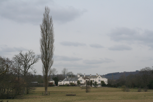
Rowbarrow Plantation Images
Images are sourced within 2km of 50.841232/-3.2392511 or Grid Reference ST1205. Thanks to Geograph Open Source API. All images are credited.


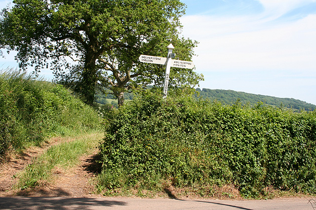


Rowbarrow Plantation is located at Grid Ref: ST1205 (Lat: 50.841232, Lng: -3.2392511)
Administrative County: Devon
District: East Devon
Police Authority: Devon and Cornwall
What 3 Words
///available.weeps.tastier. Near Dunkeswell, Devon
Related Wikis
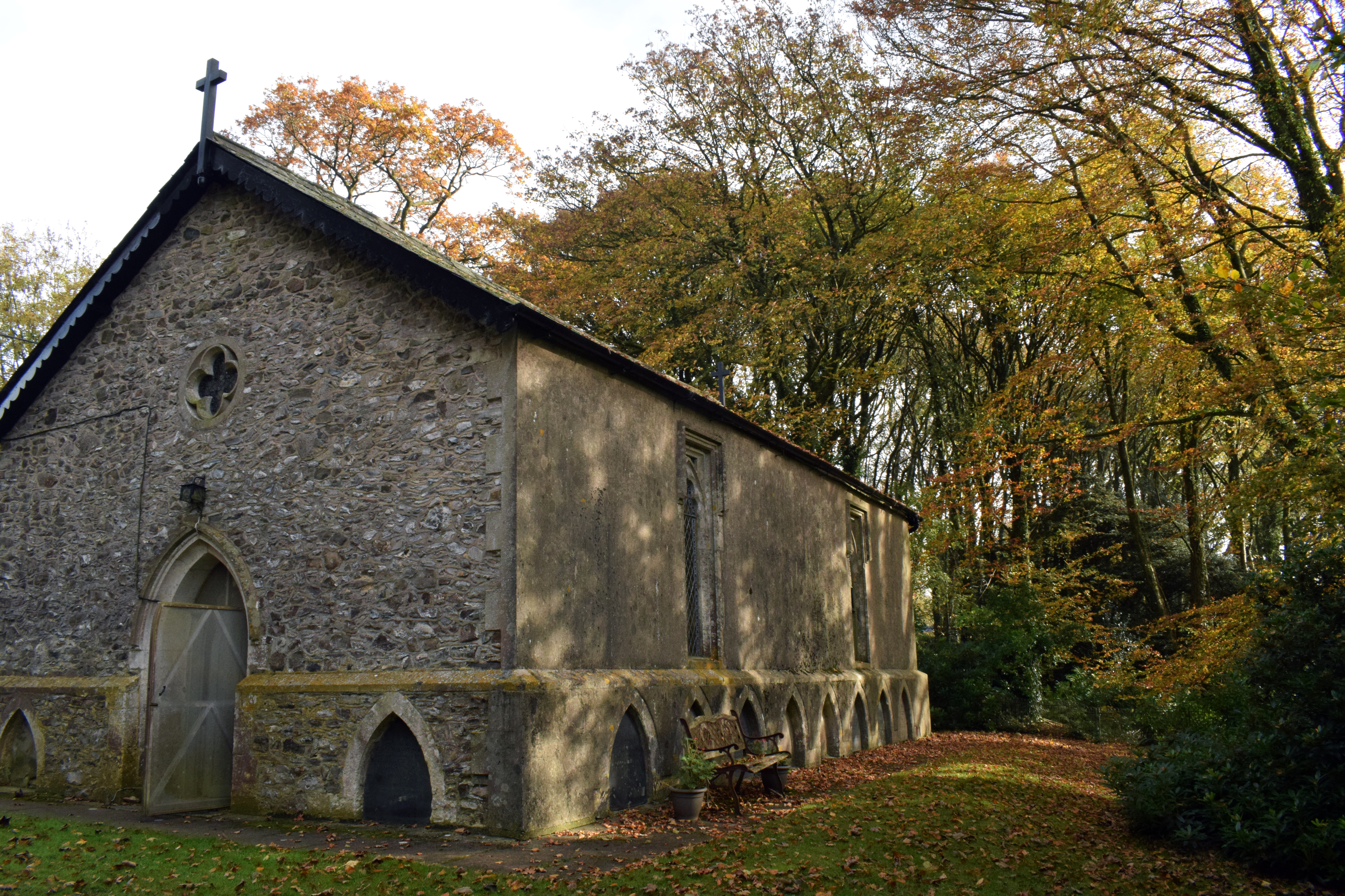
Wolford Chapel
Wolford Chapel in Devon, England, is the burial place of John Graves Simcoe, the first lieutenant governor of Upper Canada. It is the territory of the...
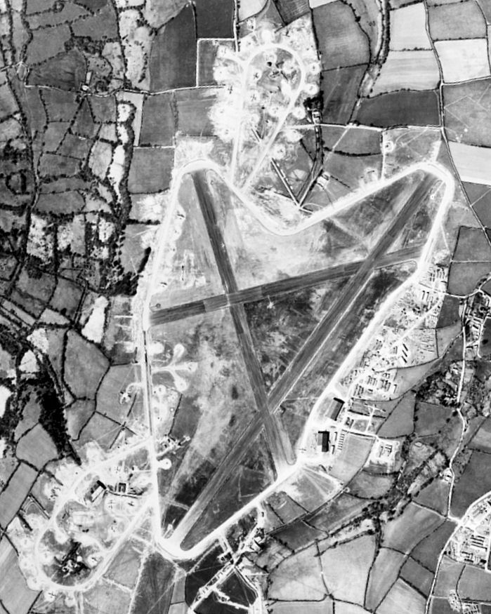
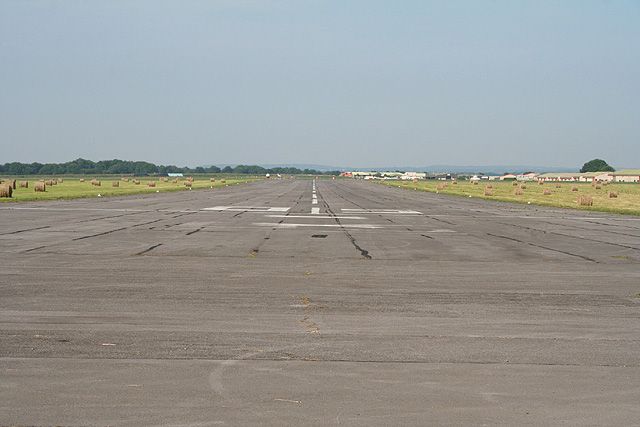
Dunkeswell Aerodrome
Dunkeswell Aerodrome (ICAO: EGTU) is an airfield in East Devon, England. It is located approximately 5 mi (8.0 km) north of the town of Honiton and 14...
Dunkeswell
Dunkeswell is a village and civil parish in East Devon, England, located about 5 miles (8.0 km) north of the town of Honiton. At the 2001 census, the...

Broadhembury
Broadhembury is a village and civil parish in the East Devon district of Devon, England, 5 miles (8 km) north-west of Honiton.The civil parish includes...

Awliscombe
Awliscombe is a village and civil parish in the East Devon district of Devon, England. The village is about two miles west of Honiton. The 2011 census...

Hembury
Hembury is a Neolithic causewayed enclosure and Iron Age hillfort near Honiton in Devon. Its history stretches from the late fifth and early fourth millennia...

Sheldon, Devon
Sheldon is a village and civil parish in the East Devon district of the county of Devon in England. It is located in the Blackdown Hills, 6.5 miles (10...
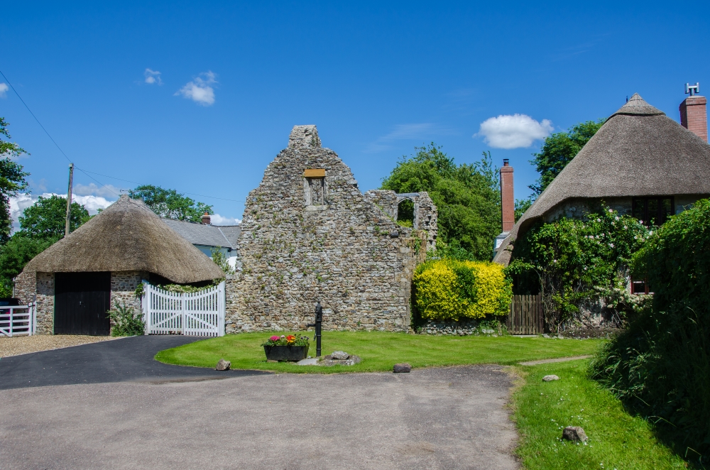
The Grange, Broadhembury
The Grange is a historic estate in the parish of Broadhembury in Devon, England. The surviving 16th-century mansion house (known as The Grange) is listed...
Nearby Amenities
Located within 500m of 50.841232,-3.2392511Have you been to Rowbarrow Plantation?
Leave your review of Rowbarrow Plantation below (or comments, questions and feedback).