Turbury Plantation
Wood, Forest in Devon East Devon
England
Turbury Plantation

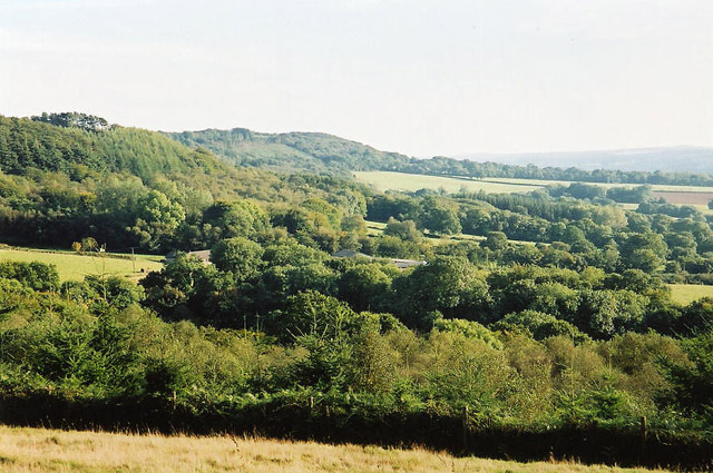
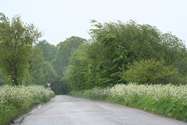
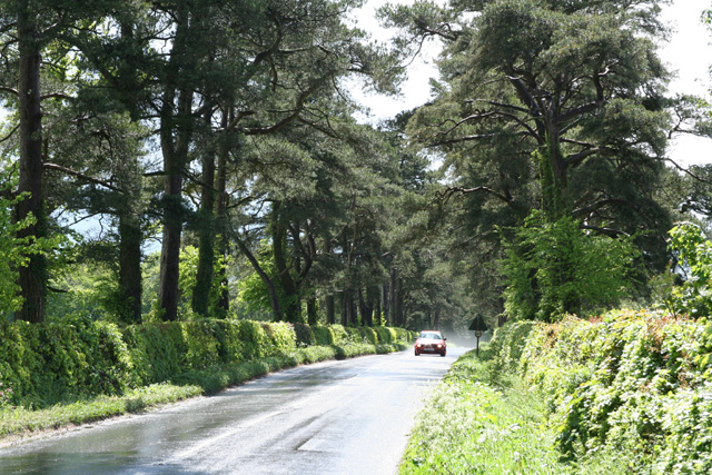
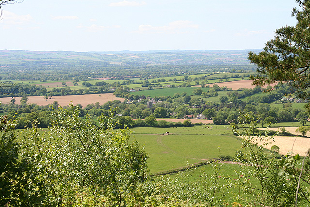
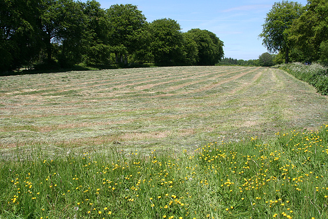
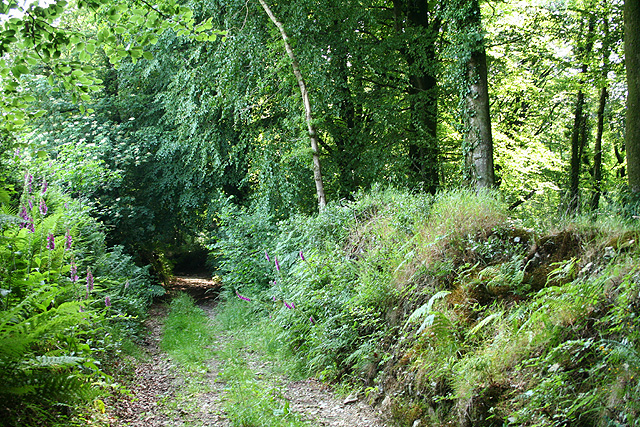
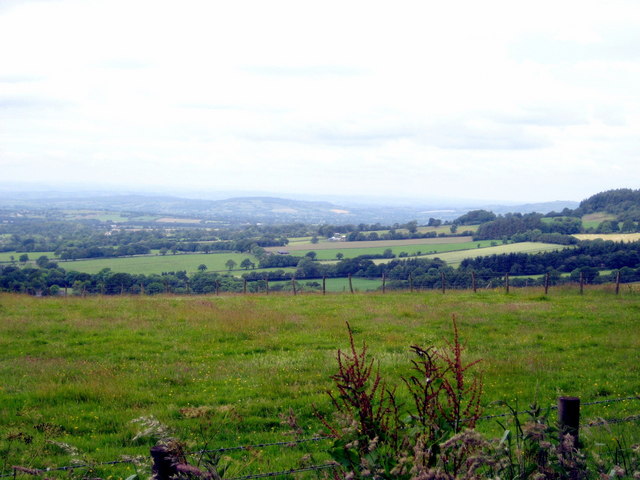
Turbury Plantation, located in Devon, England, is a sprawling wood and forest area that spans approximately 1,000 acres. Nestled in the heart of the county, this plantation is renowned for its scenic beauty and diverse range of flora and fauna. It is a popular destination for nature enthusiasts, hikers, and wildlife lovers.
The plantation is predominantly composed of broadleaf trees, such as oak, beech, and birch, which create a lush and vibrant canopy. These trees provide a habitat for a wide variety of wildlife, including deer, foxes, squirrels, and an array of bird species.
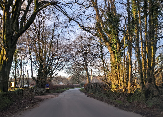
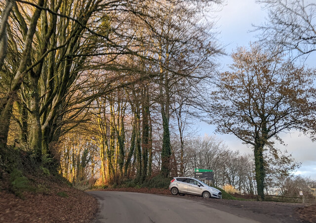
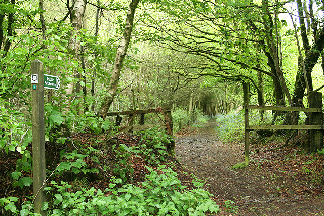
Turbury Plantation boasts an extensive network of well-maintained walking trails that wind through the woodland, offering visitors the opportunity to explore and immerse themselves in the natural surroundings. These trails vary in difficulty, catering to both casual strollers and avid hikers. Along the way, visitors may encounter tranquil streams, picturesque ponds, and enchanting clearings, adding to the overall charm of the plantation.
The woodland is also home to several ancient monuments and archaeological sites, providing an insight into the rich history of the area. These include remnants of Iron Age settlements and burial mounds, adding an extra layer of intrigue and fascination for history enthusiasts.
Turbury Plantation is managed by a dedicated team of conservationists who ensure the preservation of the woodland and its inhabitants. They organize educational programs and events, aiming to raise awareness about the importance of nature conservation and the role that woodlands play in maintaining ecological balance.
Overall, Turbury Plantation offers a tranquil retreat for individuals seeking solace in nature, providing a delightful blend of scenic beauty, wildlife, and historical significance.
If you have any feedback on the listing, please let us know in the comments section below.
Turbury Plantation Images
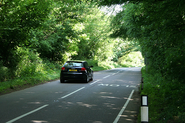
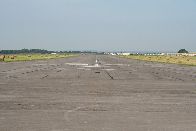
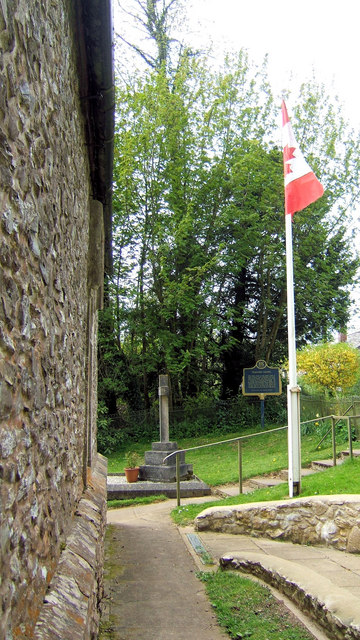
Images are sourced within 2km of 50.84442/-3.2455711 or Grid Reference ST1205. Thanks to Geograph Open Source API. All images are credited.


Turbury Plantation is located at Grid Ref: ST1205 (Lat: 50.84442, Lng: -3.2455711)
Administrative County: Devon
District: East Devon
Police Authority: Devon and Cornwall
What 3 Words
///relate.panoramic.defected. Near Dunkeswell, Devon
Related Wikis
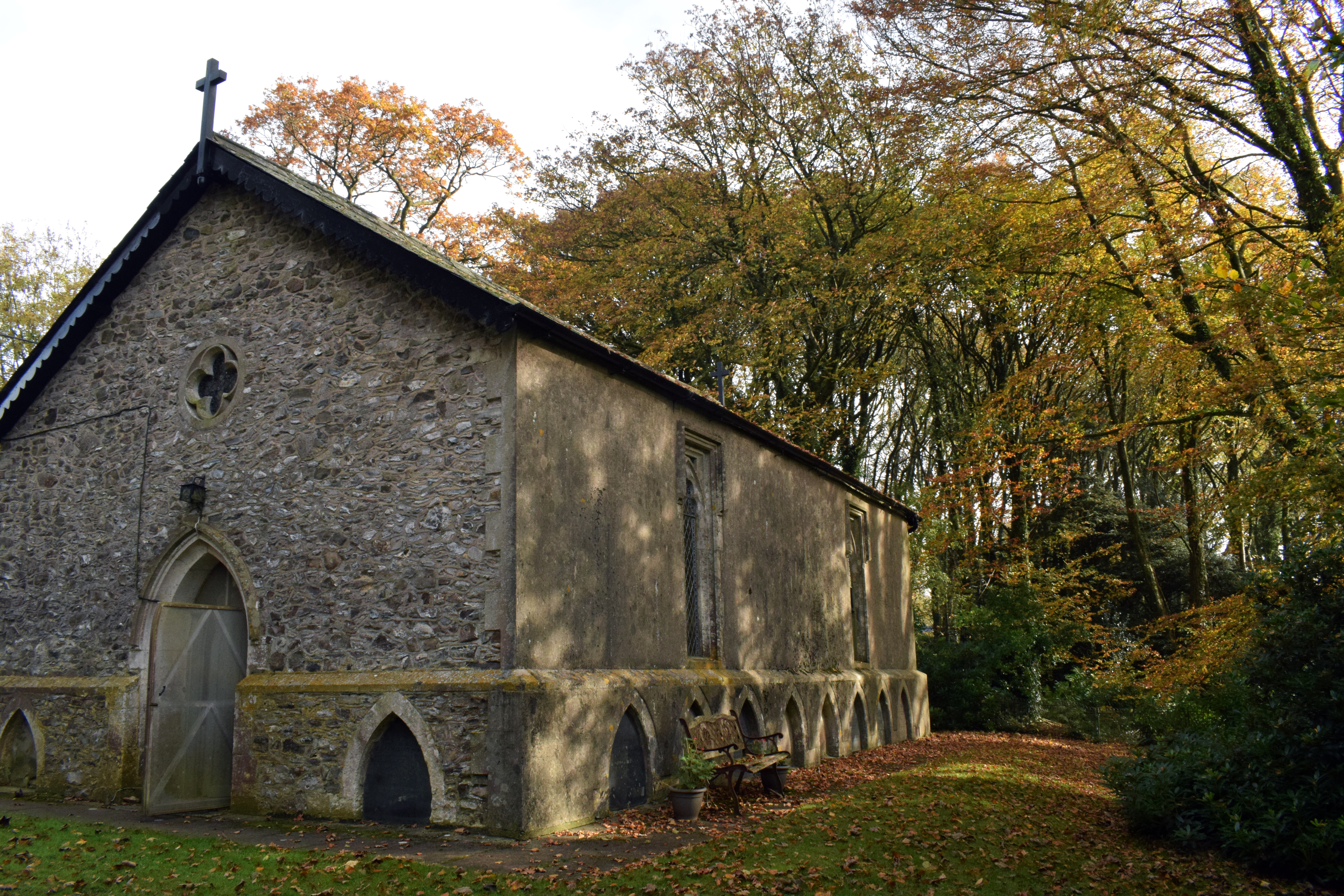
Wolford Chapel
Wolford Chapel in Devon, England, is the burial place of John Graves Simcoe, the first lieutenant governor of Upper Canada. It is the territory of the...
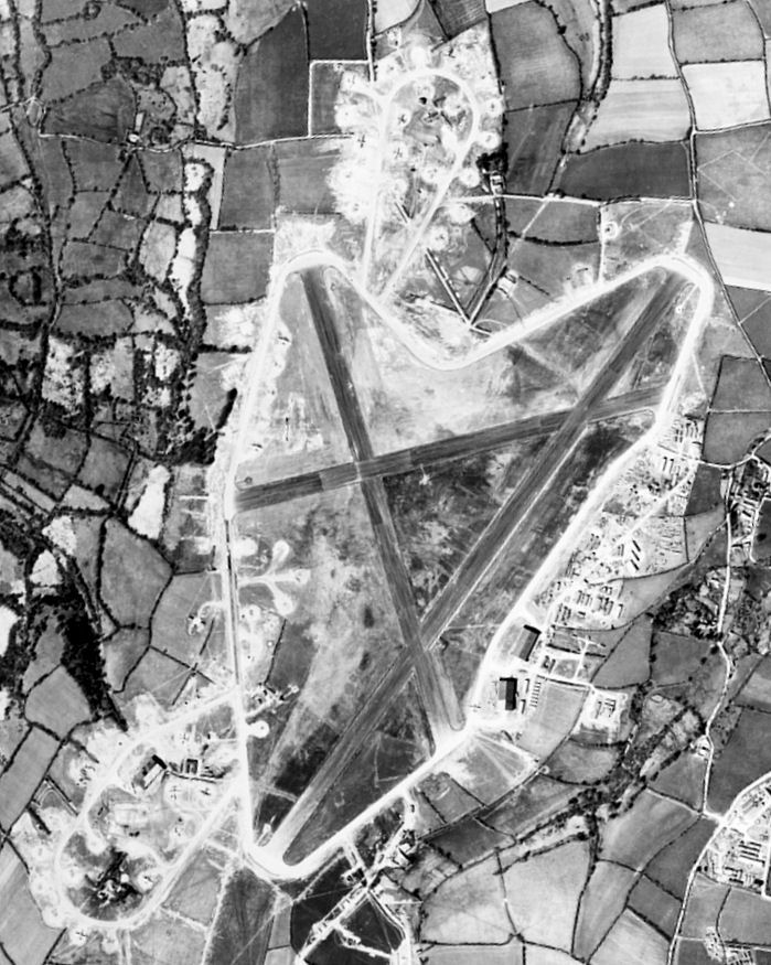
Dunkeswell Aerodrome
Dunkeswell Aerodrome (ICAO: EGTU) is an airfield in East Devon, England. It is located approximately 5 mi (8.0 km) north of the town of Honiton and 14...

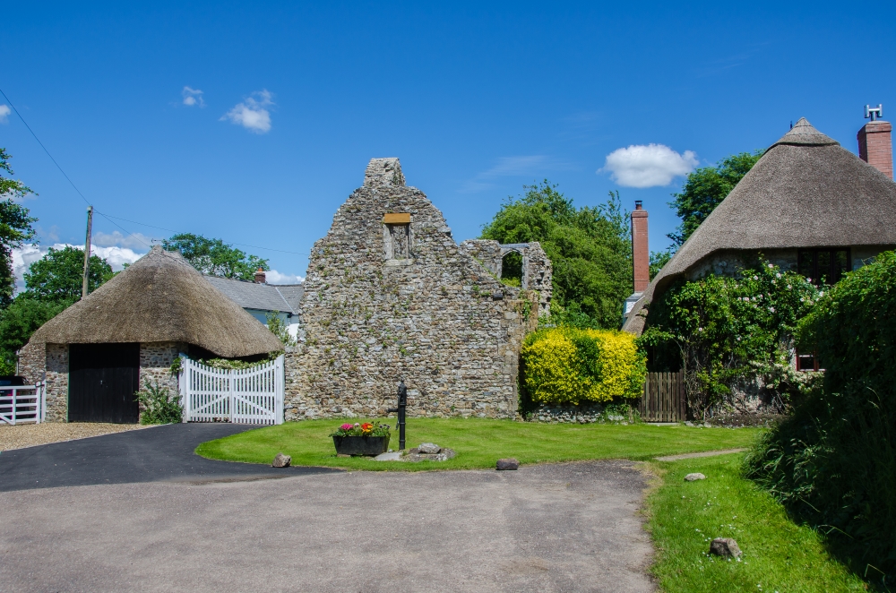
Broadhembury
Broadhembury is a village and civil parish in the East Devon district of Devon, England, 5 miles (8 km) north-west of Honiton. The civil parish includes...
Dunkeswell
Dunkeswell is a village and civil parish in East Devon, England, located about 5 miles (8.0 km) north of the town of Honiton. At the 2001 census, the...
Nearby Amenities
Located within 500m of 50.84442,-3.2455711Have you been to Turbury Plantation?
Leave your review of Turbury Plantation below (or comments, questions and feedback).