Douglas Plantation
Wood, Forest in Devon East Devon
England
Douglas Plantation

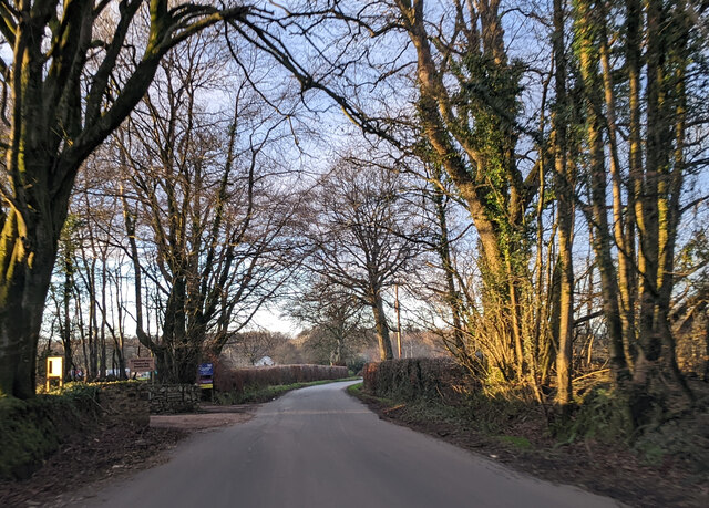
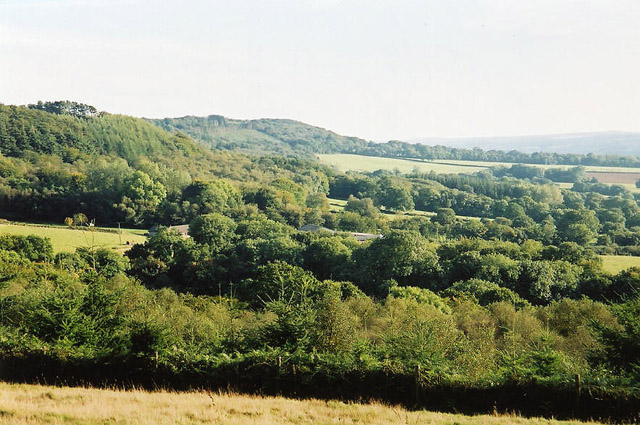
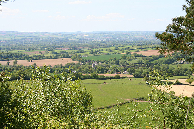
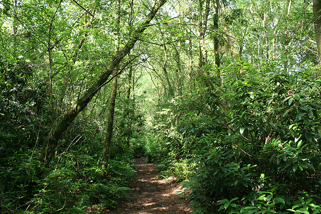
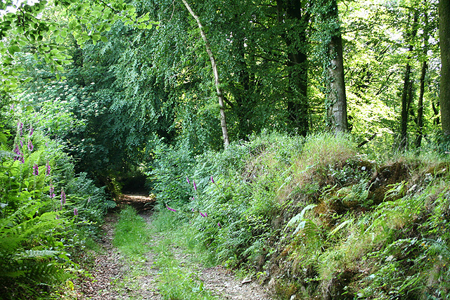
Douglas Plantation, located in Devon, England, is a picturesque woodland area that covers a vast expanse of approximately 1,250 acres. Nestled within the heart of the county, this plantation is renowned for its captivating natural beauty and rich biodiversity.
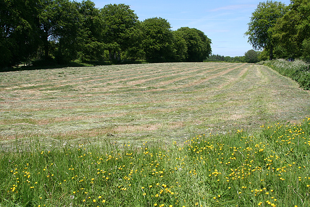
The plantation is predominantly composed of towering oak, beech, and pine trees, which create a dense canopy overhead, providing a cool and shaded environment. The forest floor is carpeted with a lush carpet of ferns, bluebells, and wildflowers, creating a vibrant and enchanting atmosphere.
Home to various species of wildlife, Douglas Plantation is a haven for nature enthusiasts and birdwatchers. The plantation offers a sanctuary for rare and endangered species such as red squirrels, roe deer, and a diverse range of bird species including woodpeckers, nightingales, and tawny owls.
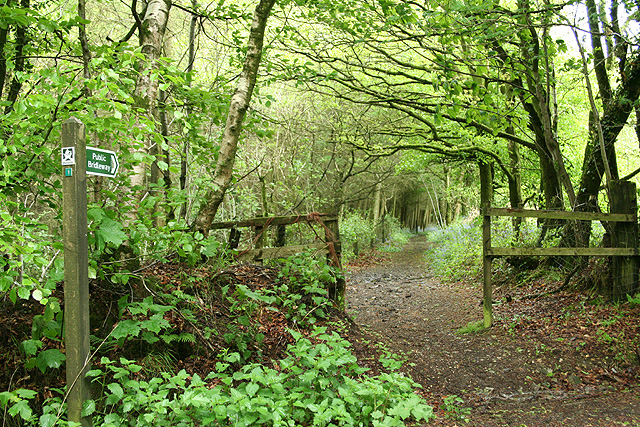
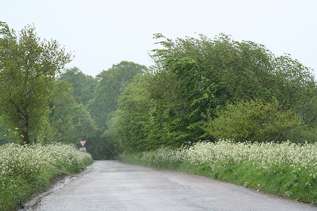
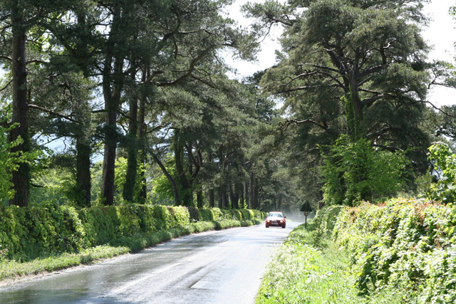
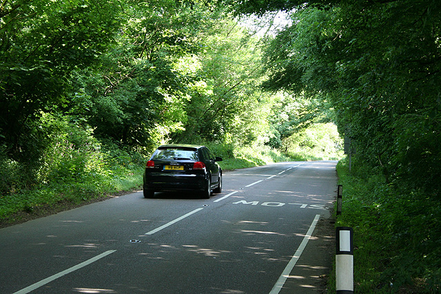
The plantation also boasts an extensive network of walking trails and footpaths, allowing visitors to explore the serene surroundings. These paths wind through the woodland, offering breathtaking views of the tranquil streams and meandering rivers that flow through the plantation. The picturesque landscape also provides opportunities for outdoor activities such as hiking, cycling, and picnicking.
Managed by the local authorities, Douglas Plantation is committed to preserving its natural beauty and biodiversity. Conservation efforts are in place to protect and sustain the delicate ecosystem within the plantation, ensuring that future generations can continue to enjoy its beauty and serenity.
Overall, Douglas Plantation in Devon is a captivating and idyllic woodland retreat, offering a sanctuary for both wildlife and visitors alike. Its stunning natural landscapes and abundant wildlife make it a must-visit destination for anyone seeking solace and tranquility amidst nature.
If you have any feedback on the listing, please let us know in the comments section below.
Douglas Plantation Images
Images are sourced within 2km of 50.843903/-3.2408559 or Grid Reference ST1205. Thanks to Geograph Open Source API. All images are credited.


Douglas Plantation is located at Grid Ref: ST1205 (Lat: 50.843903, Lng: -3.2408559)
Administrative County: Devon
District: East Devon
Police Authority: Devon and Cornwall
What 3 Words
///image.chariots.thighs. Near Dunkeswell, Devon
Related Wikis
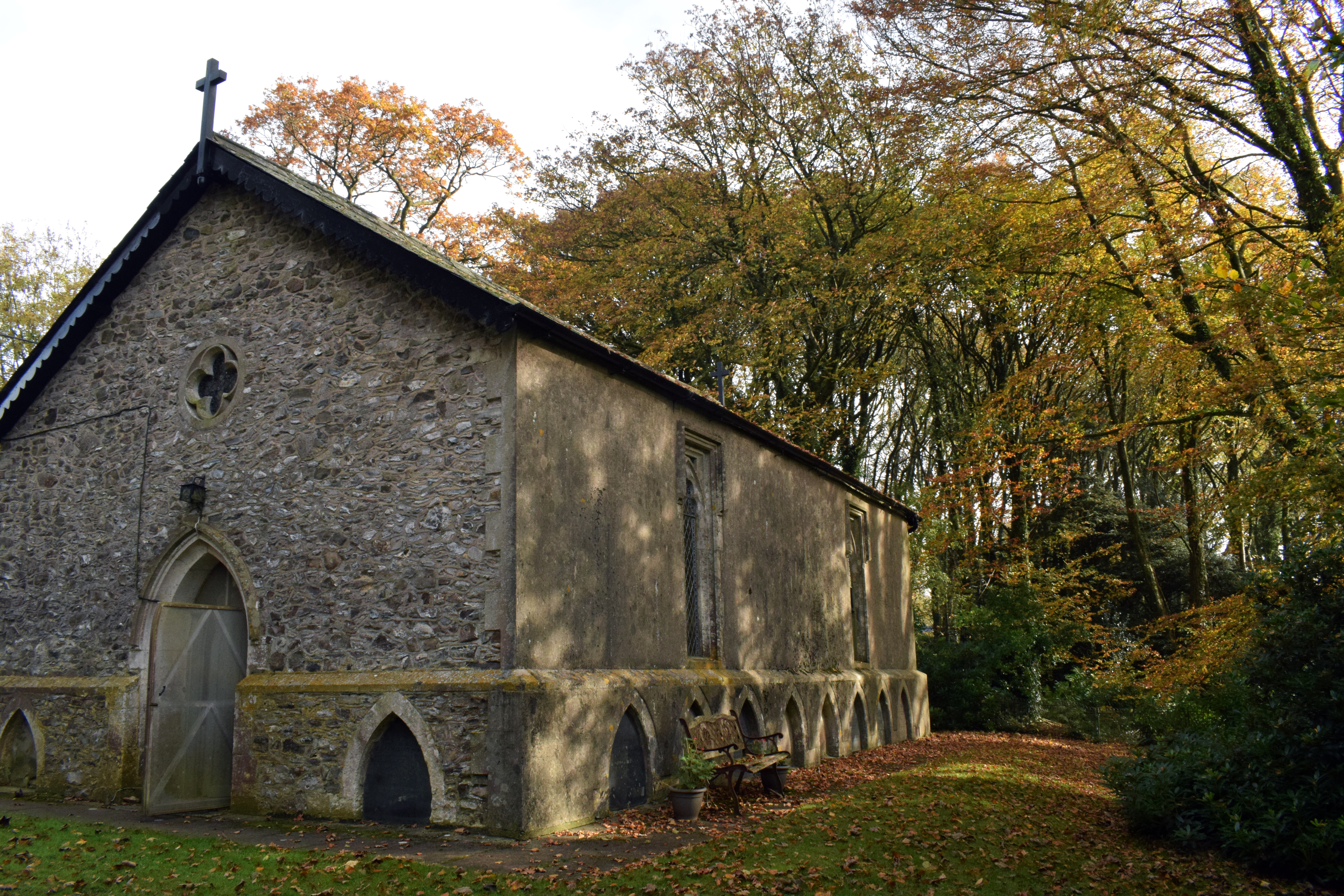
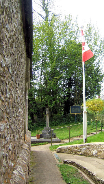
Wolford Chapel
Wolford Chapel in Devon, England, is the burial place of John Graves Simcoe, the first lieutenant governor of Upper Canada. It is the territory of the...
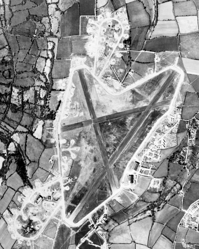
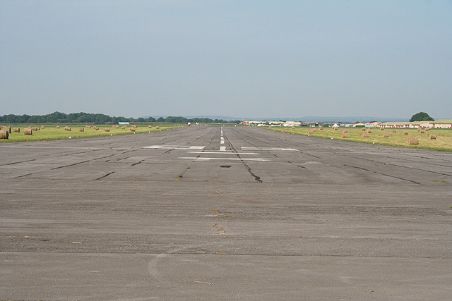
Dunkeswell Aerodrome
Dunkeswell Aerodrome (ICAO: EGTU) is an airfield in East Devon, England. It is located approximately 5 mi (8.0 km) north of the town of Honiton and 14...
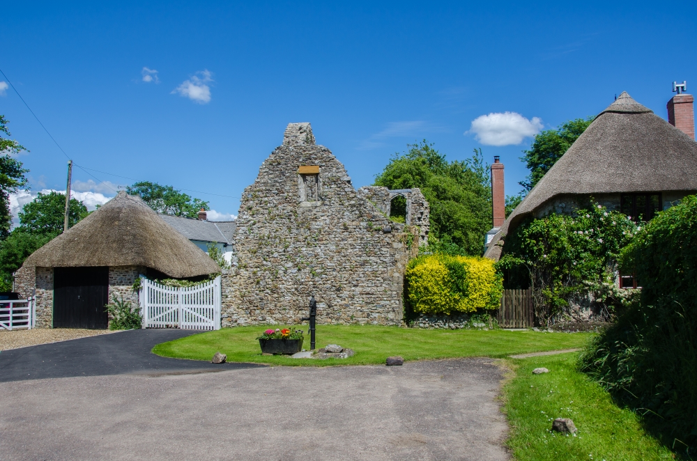
Dunkeswell
Dunkeswell is a village and civil parish in East Devon, England, located about 5 miles (8.0 km) north of the town of Honiton. At the 2001 census, the...

Broadhembury
Broadhembury is a village and civil parish in the East Devon district of Devon, England, 5 miles (8 km) north-west of Honiton. The civil parish includes...
Nearby Amenities
Located within 500m of 50.843903,-3.2408559Have you been to Douglas Plantation?
Leave your review of Douglas Plantation below (or comments, questions and feedback).