Highmoor Wood
Wood, Forest in Cumberland Allerdale
England
Highmoor Wood
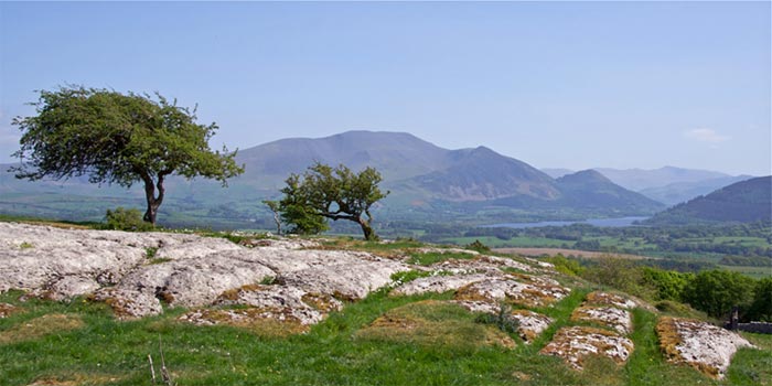
Highmoor Wood is a picturesque forest located in Cumberland, England. With its stunning natural beauty and diverse flora and fauna, it is a popular destination for nature lovers and outdoor enthusiasts. Spanning over a vast area, the wood is a mixture of ancient woodlands and newer plantations.
The wood is primarily composed of broadleaf trees such as oak, beech, and birch, creating a rich and vibrant canopy that offers a cool respite on warm summer days. The forest floor is covered in a thick carpet of mosses, ferns, and wildflowers, adding to its enchanting atmosphere.
Highmoor Wood is a haven for wildlife, providing a refuge for various species. Visitors may spot red squirrels, roe deer, and a variety of birds, including woodpeckers and owls. The forest also supports a diverse range of insect life, with butterflies and dragonflies fluttering amongst the trees.
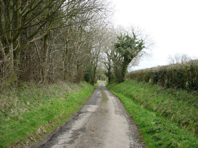
There are several well-marked trails that wind their way through Highmoor Wood, allowing visitors to explore its beauty at their own pace. These trails offer breathtaking views of the surrounding countryside and lead to hidden gems such as tranquil streams and secluded clearings. The wood is also home to a number of picnic areas, perfect for enjoying a peaceful lunch amidst nature.
Highmoor Wood is not only a place of natural beauty but also holds historical significance. It has been a part of the local landscape for centuries, with evidence of human activity dating back to medieval times. This rich history adds an extra layer of fascination to the wood, making it a truly captivating destination for all who visit.
If you have any feedback on the listing, please let us know in the comments section below.
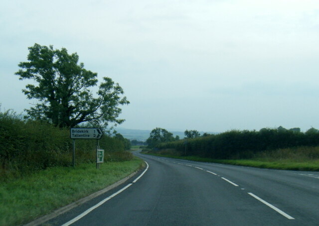
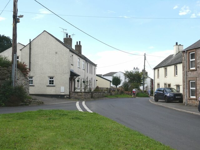
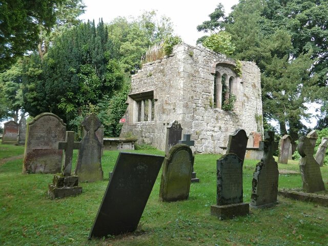
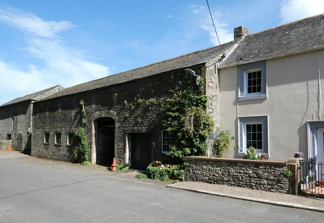
Highmoor Wood Images
Images are sourced within 2km of 54.702914/-3.3557671 or Grid Reference NY1235. Thanks to Geograph Open Source API. All images are credited.

Highmoor Wood is located at Grid Ref: NY1235 (Lat: 54.702914, Lng: -3.3557671)
Administrative County: Cumbria
District: Allerdale
Police Authority: Cumbria
What 3 Words
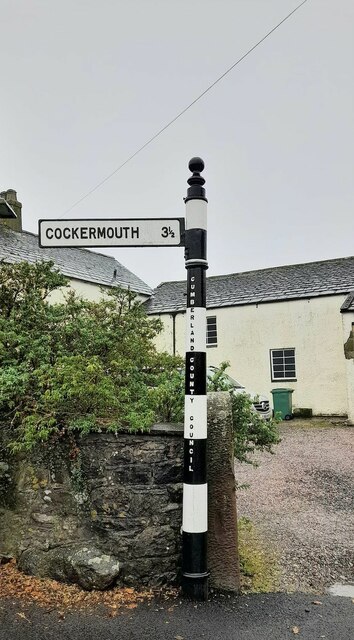
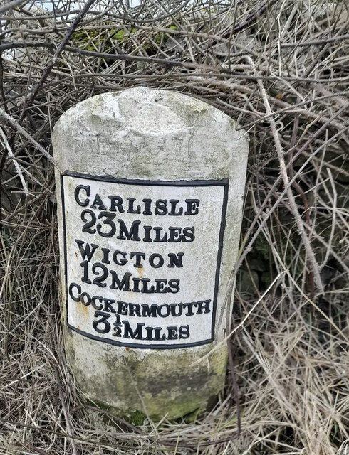
///hikes.hatter.bunch. Near Cockermouth, Cumbria
Nearby Locations
Related Wikis

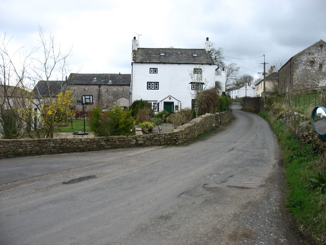
Redmain, Cumbria
Redmain is a small hamlet in the Isel Valley and parish of Blindcrake within the Lake District National Park in Cumbria, England. The hamlet lies on the...

Bridekirk
Bridekirk is a village and civil parish in the Cumberland district in the county of Cumbria, England. It is around 3.2 kilometres (2 mi) north of the Derwent...
Gilcrux
Gilcrux is a small village and civil parish in the ceremonial county of Cumbria, England, and historically part of Cumberland. It is situated just outside...
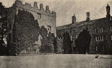
Isel Hall
Isel Hall is an ancient Cumbrian residence that sits on a steep rise on the northern banks of the River Derwent, two miles (3.2 km) south of Bassenthwaite...

Arkleby
Arkleby is a village in Cumbria, England. It is located about 1 mile south of Aspatria and 9 miles south-west of Wigton. Arkleby is part of the civil parish...
Blindcrake
Blindcrake is a village and civil parish within the Isel Valley, in the Lake District National Park, in Cumbria, England, historically part of Cumberland...

Dovenby Hall
Dovenby Hall is a country house in 115 acres (47 ha) of land at Dovenby, about 2 miles (3.2 km) north-west of Cockermouth, Cumbria, England. It is a Grade...
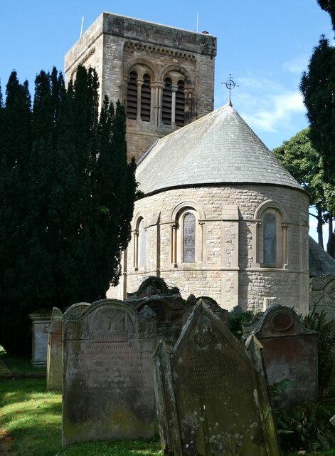
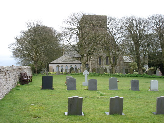
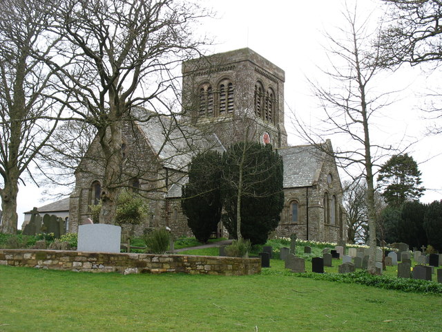
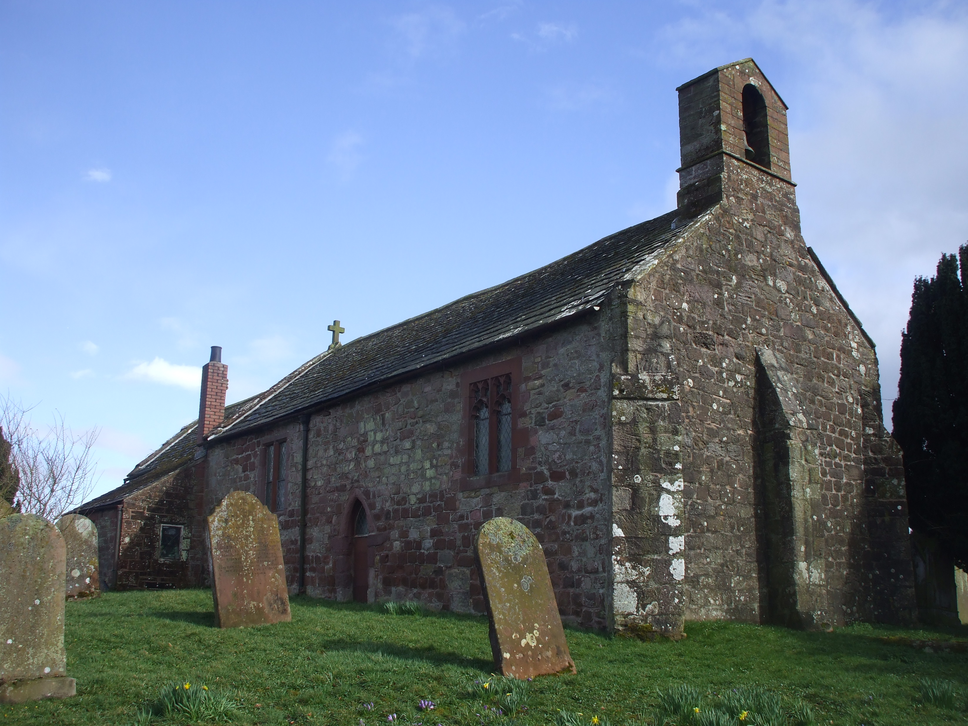
St Michael's Church, Isel
St Michael's Church is located by the side of the River Derwent in the dispersed settlement of Isel, in the civil parish of Blindcrake, Cumbria, England...
Nearby Amenities
Located within 500m of 54.702914,-3.3557671Have you been to Highmoor Wood?
Leave your review of Highmoor Wood below (or comments, questions and feedback).