Tallentire Hill

Hill, Mountain in Cumberland Allerdale

England

Tallentire Hill

Road junction at the eastern end of Tallentire
Road junction at the eastern end of Tallentire Credit: Oliver Dixon

Tallentire Hill is a prominent geographical feature located in the county of Cumberland, England. Situated in the northwestern part of the country, it is classified as a hill rather than a mountain, reaching an elevation of approximately 318 meters (1,043 feet) above sea level.

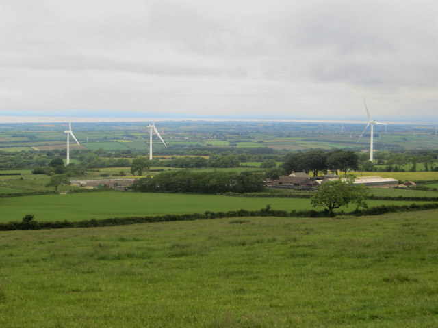
The hill is part of the northern range of the Lake District National Park and is situated near the village of Tallentire. It offers stunning panoramic views of the surrounding countryside, including the nearby Solway Firth and the Scottish coastline in the distance. The landscape is characterized by rolling hills, green pastures, and scattered woodlands, creating a picturesque and tranquil setting.

Tallentire Hill is a popular destination for outdoor enthusiasts, such as hikers and walkers, who are drawn to its scenic beauty and the opportunity to explore the surrounding area. The hill is accessible via several well-maintained footpaths that lead to its summit, providing visitors with a chance to immerse themselves in the natural beauty of the region.

Due to its relatively moderate elevation, Tallentire Hill is suitable for all levels of fitness and experience, making it an ideal destination for both seasoned hikers and casual walkers. Its location within the Lake District National Park also means that there are plenty of amenities and facilities nearby, including parking areas, visitor centers, and accommodation options.

Overall, Tallentire Hill offers a wonderful opportunity for individuals to connect with nature, enjoy breathtaking views, and experience the charm of the English countryside in the heart of Cumberland.

If you have any feedback on the listing, please let us know in the comments section below.

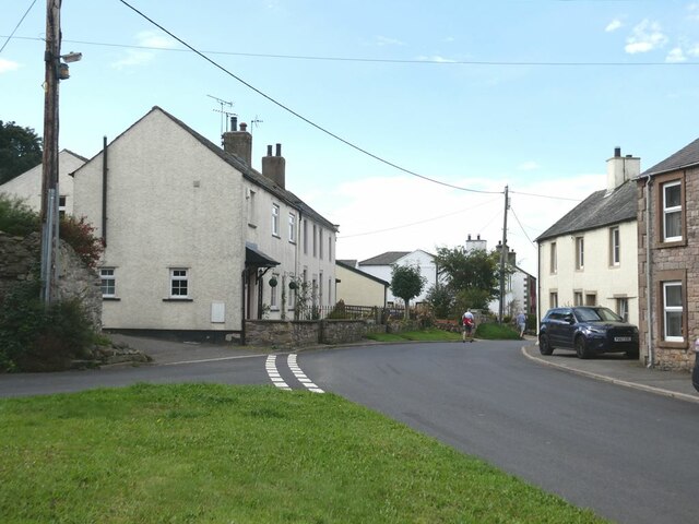
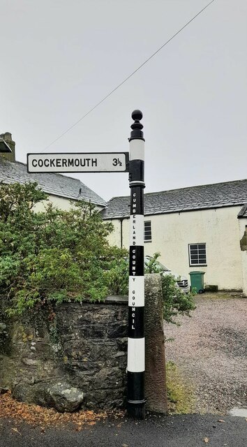
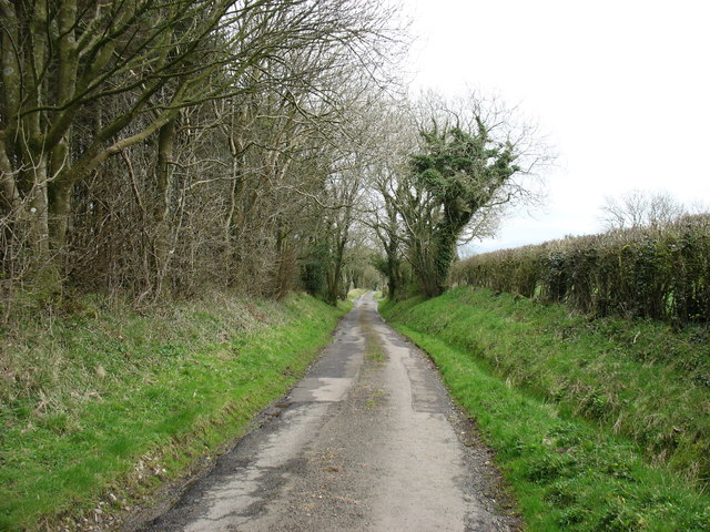
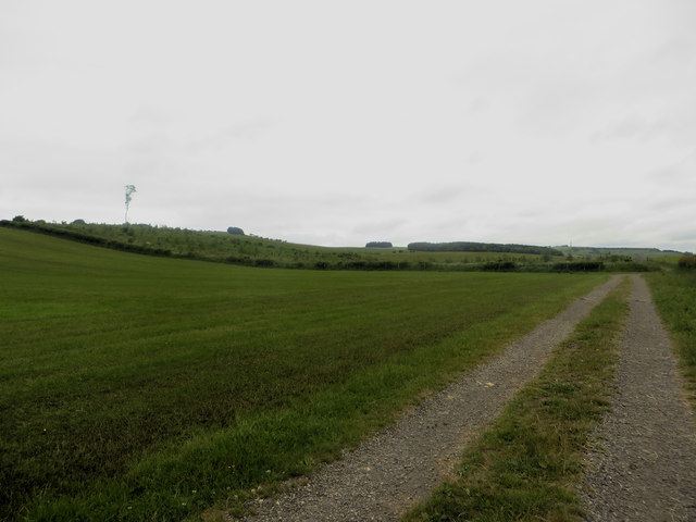
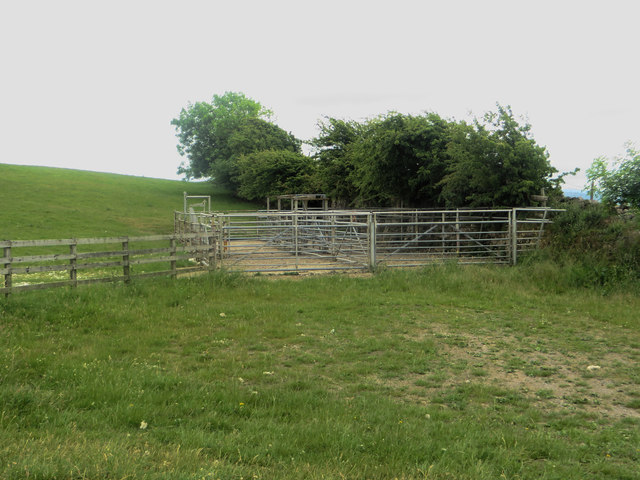
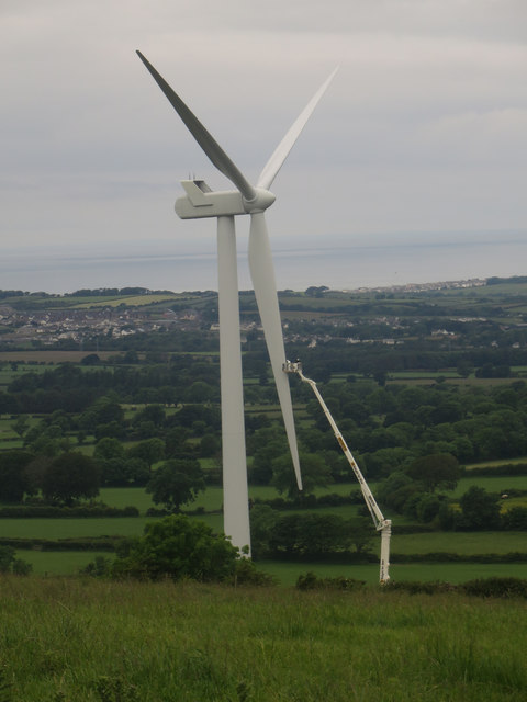
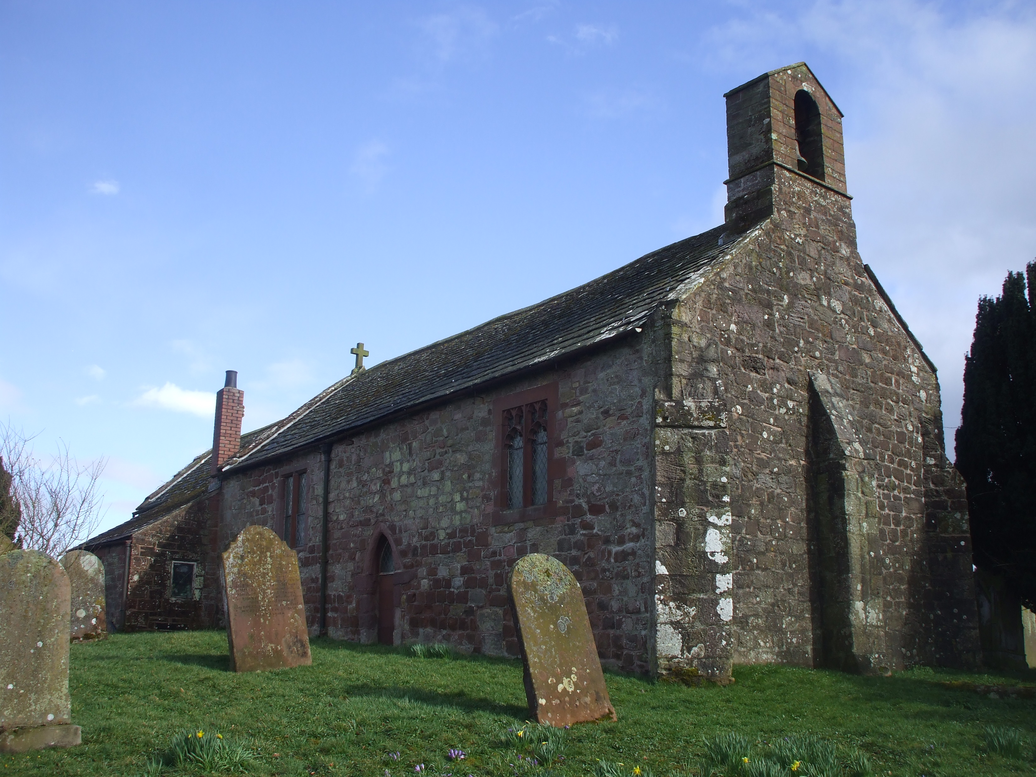
Tallentire Hill Images

Images are sourced within 2km of 54.70925/-3.364562 or Grid Reference NY1235. Thanks to Geograph Open Source API. All images are credited.

Road junction at the eastern end of Tallentire
Direction Sign – Signpost by Mid Town Farm in Tallentire Located on the southwest side of the junction at Mid Town Farm in Tallentire. Bridekirk parish. 1 arm and pawn finial.

Milestone Society National ID: CU_NY1035
Direction Sign – Signpost by Mid Town Farm in Tallentire
Located on the southwest side of the junction at Mid Town Farm in Tallentire. Bridekirk parish. 1 arm and pawn finial. Milestone Society National ID: CU_NY1035
The lane to Bridekirk
Fields by the road to Bridekirk
Sheep in a field north of Bridekirk Sheep grazing in a field to the north of Bridekirk.
Sheep in a field north of Bridekirk
Sheep grazing in a field to the north of Bridekirk.
Farm track beside a grass field A farm track providing access to fields set back from the road behind the grass field to the left which has recently had a crop of grass removed.
Farm track beside a grass field
A farm track providing access to fields set back from the road behind the grass field to the left which has recently had a crop of grass removed.
Arable field north east of Bridekirk An arable field in which a spring cereal crop (most likely barley) is growing. This field is unusual as most of the fields in the local area are grass and used for grazing animals.
Arable field north east of Bridekirk
An arable field in which a spring cereal crop (most likely barley) is growing. This field is unusual as most of the fields in the local area are grass and used for grazing animals.
Freshly replanted plantation A plantation has been harvested in recent years and replanted with new trees.
Freshly replanted plantation
A plantation has been harvested in recent years and replanted with new trees.
Farm track leaving a country road A farm track diverges to the right from the minor road between Bridekirk and Gilcrux.
Farm track leaving a country road
A farm track diverges to the right from the minor road between Bridekirk and Gilcrux.
Boundary between grass fields A dry stone wall separates two grass fields on the bank to the north of Bridekirk.
Boundary between grass fields
A dry stone wall separates two grass fields on the bank to the north of Bridekirk.
Access track to fields A track used to access fields which lie away from the county road between Gilcrux and Bridekirk.
Access track to fields
A track used to access fields which lie away from the county road between Gilcrux and Bridekirk.
Track on Tallentire Hill Looking along a straight track on Tallentire Hill. As well as being used to access fields the track is also a public bridleway.
Track on Tallentire Hill
Looking along a straight track on Tallentire Hill. As well as being used to access fields the track is also a public bridleway.
Grassland north of Tallentire Hill Grassland occupied by a herd of cattle to the north of Tallentire Hill. Beyond half of the turbines of Tallentire Wind Farm are visible, the other half being out of shot to the right.
Grassland north of Tallentire Hill
Grassland occupied by a herd of cattle to the north of Tallentire Hill. Beyond half of the turbines of Tallentire Wind Farm are visible, the other half being out of shot to the right.
Livestock sorting pens on Tallentire Hill An area for sorting and holding livestock in the corner of a grass field on Tallentire Hill.
Livestock sorting pens on Tallentire Hill
An area for sorting and holding livestock in the corner of a grass field on Tallentire Hill.
Trig point on Tallentire Hill The summit of the diminutive Tallentire Hill. The trig point is found in the middle of a grass field, here being grazed by a flock of sheep.
Trig point on Tallentire Hill
The summit of the diminutive Tallentire Hill. The trig point is found in the middle of a grass field, here being grazed by a flock of sheep.
The view north from Tallentire Hill The view to the north from Tallentire Hill contains Tallentire Hill Farm and three of the turbines of Talentire Wind Farm. In the foreground is a grass field which was being grazed by cattle.
The view north from Tallentire Hill
The view to the north from Tallentire Hill contains Tallentire Hill Farm and three of the turbines of Talentire Wind Farm. In the foreground is a grass field which was being grazed by cattle.
Wind turbine maintenance A large cherry picker has extended up to the blade of one of the turbines of Tallentire Wind Farm. A pair of men in the basket appear to inspecting one of the blades of the large turbine.
Wind turbine maintenance
A large cherry picker has extended up to the blade of one of the turbines of Tallentire Wind Farm. A pair of men in the basket appear to inspecting one of the blades of the large turbine.
Overgrown track east of Tallentire Hill A farm track and public bridleway which hasn't seen much vehicular use in recent years judging from the level of undergrowth.
Overgrown track east of Tallentire Hill
A farm track and public bridleway which hasn't seen much vehicular use in recent years judging from the level of undergrowth.
Show me another place!

Tallentire Hill is located at Grid Ref: NY1235 (Lat: 54.70925, Lng: -3.364562)

Administrative County: Cumbria

District: Allerdale

Police Authority: Cumbria

What 3 Words

///adjusted.dancer.resonates. Near Dearham, Cumbria

Related Wikis

Bridekirk

Bridekirk is a village and civil parish in the Cumberland district in the county of Cumbria, England. It is around 3.2 kilometres (2 mi) north of the Derwent...

Gilcrux

Gilcrux is a small village and civil parish in the ceremonial county of Cumbria, England, and historically part of Cumberland. It is situated just outside...

Redmain, Cumbria

Redmain is a small hamlet in the Isel Valley and parish of Blindcrake within the Lake District National Park in Cumbria, England. The hamlet lies on the...

Arkleby

Arkleby is a village in Cumbria, England. It is located about 1 mile south of Aspatria and 9 miles south-west of Wigton. Arkleby is part of the civil parish...

Nearby Amenities

Located within 500m of 54.70925,-3.364562
Tallentire Hill
Ele: 222.8
Man Made: survey_point
Source: NPE
Lat/Long: 54.7093644/-3.3643764
Waste Basket
Lat/Long: 54.7079301/-3.3711794
Grit Bin
Lat/Long: 54.7079301/-3.371322
Bench
Backrest: yes
Seats: 3
Lat/Long: 54.7080294/-3.3713941
The data included in this document is from www.openstreetmap.org. The data is made available under ODbL.

Have you been to Tallentire Hill?

Leave your review of Tallentire Hill below (or comments, questions and feedback).