Birks Coppice

Wood, Forest in Cumberland Copeland

England

Birks Coppice

Minor road past Bowerhouse Inn
Minor road past Bowerhouse Inn Credit: Steven Brown

Birks Coppice is a picturesque woodland located in the county of Cumberland, England. Spanning over an area of approximately 50 acres, this enchanting forest is an oasis of natural beauty and tranquility. The name "coppice" refers to a type of woodland management where trees are periodically cut back to encourage new growth, resulting in a diverse and densely populated forest.

The woodland is home to a rich variety of flora and fauna, making it a haven for nature enthusiasts. The forest floor is carpeted with a lush carpet of bluebells, wild garlic, and primroses during the spring, creating a stunning display of colors. Towering oak, beech, and ash trees dominate the canopy, providing shelter for a myriad of bird species, including woodpeckers, owls, and thrushes.

Visitors to Birks Coppice can enjoy a network of well-maintained walking trails that wind through the forest, allowing for peaceful strolls and leisurely exploration. The trails are suitable for all ages and abilities, making it an ideal destination for families and nature lovers alike.

In addition to its natural beauty, Birks Coppice also boasts a rich cultural heritage. The forest has been a source of timber for centuries, with evidence of ancient charcoal production still visible today. The woodland also has historical significance, as it is believed to have been a hiding place for local outlaws during the medieval period.

Overall, Birks Coppice is a captivating woodland that offers visitors a chance to immerse themselves in the beauty of nature while exploring its rich history.

If you have any feedback on the listing, please let us know in the comments section below.

Birks Coppice Images

Images are sourced within 2km of 54.374698/-3.3449428 or Grid Reference SD1298. Thanks to Geograph Open Source API. All images are credited.

Minor road past Bowerhouse Inn
Evening at the Bower House The inn stands at the western edge of the village.
Evening at the Bower House
The inn stands at the western edge of the village.
Evening at the Bower House The inn stands at the western edge of the village.
Evening at the Bower House
The inn stands at the western edge of the village.
Irton Road Station: Ravenglass and Eskdale Railway The station is situated in the very top of the grid square.
Irton Road Station: Ravenglass and Eskdale Railway
The station is situated in the very top of the grid square.
Trig Point on Hooker Crag This is the highest point on Muncaster Fell.
Scafell in the distance one way and a lovely view of a well known Nuclear Reprocessing Plant in the other.
Trig Point on Hooker Crag
This is the highest point on Muncaster Fell. Scafell in the distance one way and a lovely view of a well known Nuclear Reprocessing Plant in the other.
Bridleway, Eskdale Bridleway heading west towards Muncaster Fell through a landscape of small fields and oakwoods.
Bridleway, Eskdale
Bridleway heading west towards Muncaster Fell through a landscape of small fields and oakwoods.
Muncaster Fell View of the summit, looking east.
Muncaster Fell
View of the summit, looking east.
Gate and stile at Brantrake. Gate at SD 145 985 where footpath enters wood near river Esk.
Gate and stile at Brantrake.
Gate at SD 145 985 where footpath enters wood near river Esk.
Footpath to Murthwaite Bridge
Farmland at Murthwaite Only sheep here. The soil and climate are too poor for much else.
Farmland at Murthwaite
Only sheep here. The soil and climate are too poor for much else.
Railway Looking west along the Ravenglass and Eskdale narrow gauge railway. The railway has its own website for further information <span class="nowrap"><a title="http://www.ravenglass-railway.co.uk/" rel="nofollow ugc noopener" href="http://www.ravenglass-railway.co.uk/">Link</a><img style="margin-left:2px;" alt="External link" title="External link - shift click to open in new window" src="https://s1.geograph.org.uk/img/external.png" width="10" height="10"/></span>
Railway
Looking west along the Ravenglass and Eskdale narrow gauge railway. The railway has its own website for further information LinkExternal link
Forest How A bed-and-breakfast establishment in a quiet location.
Forest How
A bed-and-breakfast establishment in a quiet location.
Lane over Bridge The bridge is over the Ravenglass and Eskdale Railway
Lane over Bridge
The bridge is over the Ravenglass and Eskdale Railway
Footpath on Muncaster Fell A relatively dry bit.
Footpath on Muncaster Fell
A relatively dry bit.
Squidgy Bog on Muncaster Fell. The humans go through this bog, because that's where the footpath is. The sheep follow a dry route round the rocky outcrop, near to Ross's Camp.
Squidgy Bog on Muncaster Fell.
The humans go through this bog, because that's where the footpath is. The sheep follow a dry route round the rocky outcrop, near to Ross's Camp.
Footpath alongside Chapel Wood This part of the wood is a relatively new extension of the original, which was more of an ornamental surround for the artificial tarn.
Footpath alongside Chapel Wood
This part of the wood is a relatively new extension of the original, which was more of an ornamental surround for the artificial tarn.
Rough Grazing Looking south-east
Rough Grazing
Looking south-east
Golf Course Looking south from the bridleway.
Golf Course
Looking south from the bridleway.
Show me another place!

Birks Coppice is located at Grid Ref: SD1298 (Lat: 54.374698, Lng: -3.3449428)

Administrative County: Cumbria

District: Copeland

Police Authority: Cumbria

What 3 Words

///fallen.shelf.salmon. Near Seascale, Cumbria

Related Wikis

Muncaster Fell

Muncaster Fell is a fell at the far western edge of the Lake District National Park, in Cumbria, England. Muncaster Fell is a long, narrow ridge of land...

Murthwaite Halt railway station

Murthwaite Halt railway station is a small intermediate railway station on the 15" gauge Ravenglass & Eskdale Railway in Cumbria, England. It is named...

Irton Road railway station

Irton Road railway station is a railway station on the 15 in gauge Ravenglass & Eskdale Railway in the Lake District National Park and the English county...
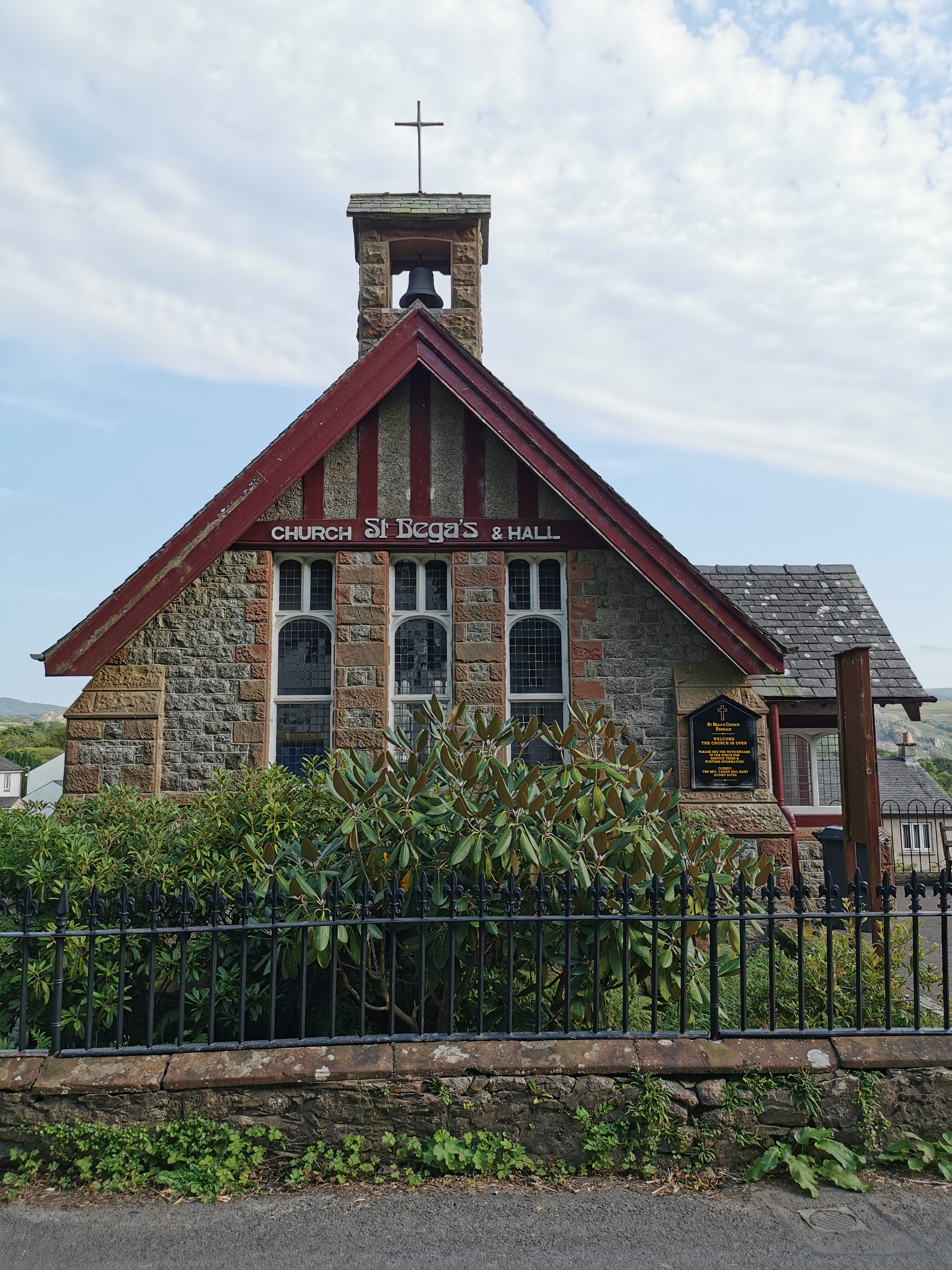
St Bega, Eskdale

St Bega is in Eskdale, Cumbria, England. It is an active Anglican parish church in the deanery of Calder, and the diocese of Carlisle. Its benefice is...
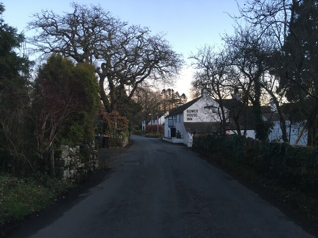
Eskdale Green

Eskdale Green is a village in Cumbria, England, 10 miles west of Coniston. Historically in Cumberland, it lies off the A595 road and is one of the few...
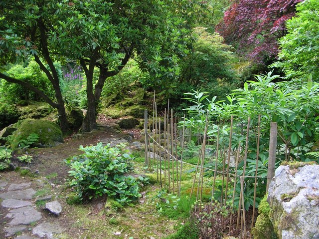
Giggle Alley

Giggle Alley is a woodland in Eskdale Green, Cumbria, England. It was formerly part of the Gate House estate. The wood includes the ruins of a Japanese...

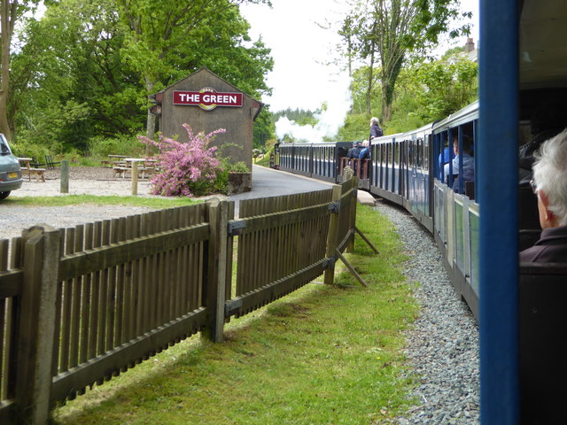
The Green railway station

The Green is a railway station on the 15-inch gauge Ravenglass & Eskdale Railway in the Lake District National Park and the English county of Cumbria....

Gate House, Eskdale Green

Gate House or Gatehouse is a country house in Eskdale Green, Cumbria, England. The house became a Grade II listed building on 8 September 1967.Built in...

Nearby Amenities

Located within 500m of 54.374698,-3.3449428
Birks Coppice
Natural: wood
Lat/Long: 54.374902/-3.3433784
Parkhouse Moss
Natural: wood
Lat/Long: 54.3724772/-3.3450306
Birks Plantation
Natural: wood
Lat/Long: 54.3719885/-3.3489894
Archaeological Site: industrial
Description: Roman Tile Kiln
Historic: archaeological_site
Historic Civilization: roman
Product: tiles
Lat/Long: 54.3754604/-3.3388021
The data included in this document is from www.openstreetmap.org. The data is made available under ODbL.

Have you been to Birks Coppice?

Leave your review of Birks Coppice below (or comments, questions and feedback).