Sitka Plantation
Wood, Forest in Devon East Devon
England
Sitka Plantation

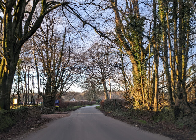
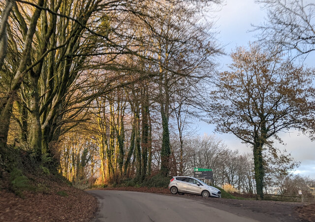
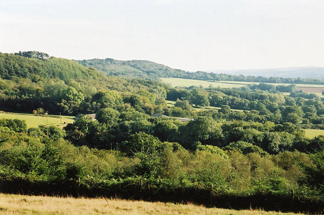
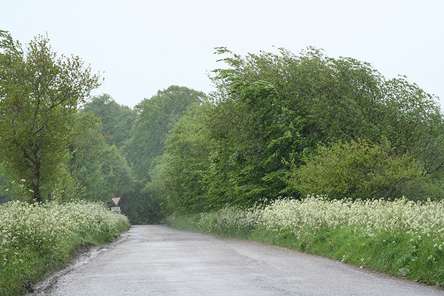
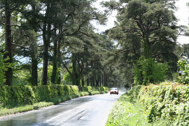
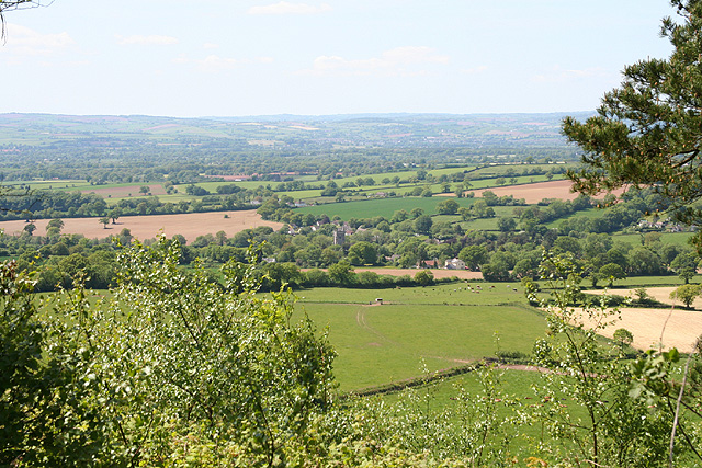
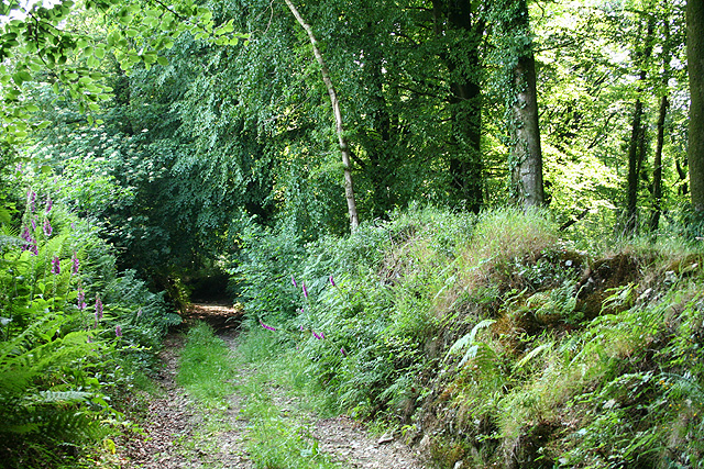
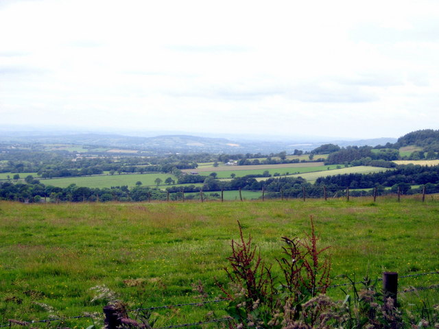
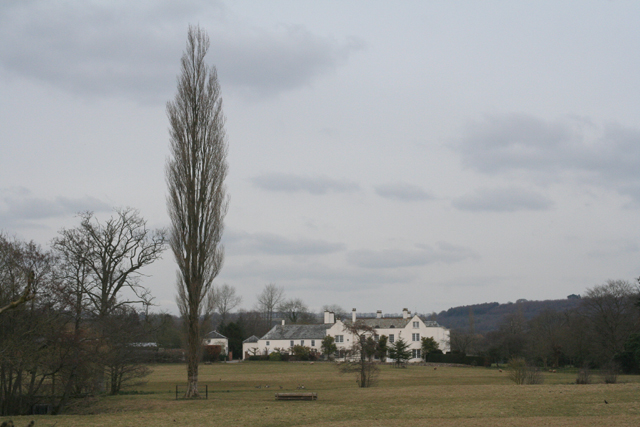
Sitka Plantation, located in Devon, is a vast woodland area known for its Sitka spruce trees. The plantation spans several hectares and is situated in a picturesque countryside setting, making it a popular destination for nature enthusiasts and hikers.
The Sitka spruce, which is native to the west coast of North America, was introduced to the United Kingdom in the early 20th century. Since then, Sitka Plantation has become one of the largest and most successful plantations of this species in Devon. The trees in the plantation are well-maintained and have grown to impressive heights, creating a dense and lush forest.
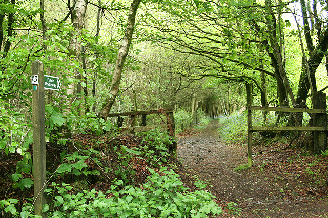
The woodland is crisscrossed with well-marked trails, allowing visitors to explore its beauty and enjoy the tranquility of nature. As one ventures deeper into the plantation, they are surrounded by a variety of wildlife, including birds, squirrels, and deer. The diverse flora and fauna make it an excellent spot for birdwatching and wildlife photography.
Sitka Plantation also plays a vital role in the local ecosystem by providing habitat for various species, improving air quality, and acting as a natural barrier against soil erosion. The dense canopy of the Sitka spruce trees provides shade and shelter, enhancing the overall health of the woodland environment.
Overall, Sitka Plantation, Devon is a captivating destination for those seeking a peaceful retreat in the heart of nature. Its towering Sitka spruce trees, well-maintained trails, and abundant wildlife make it an ideal location for outdoor enthusiasts and nature lovers alike.
If you have any feedback on the listing, please let us know in the comments section below.
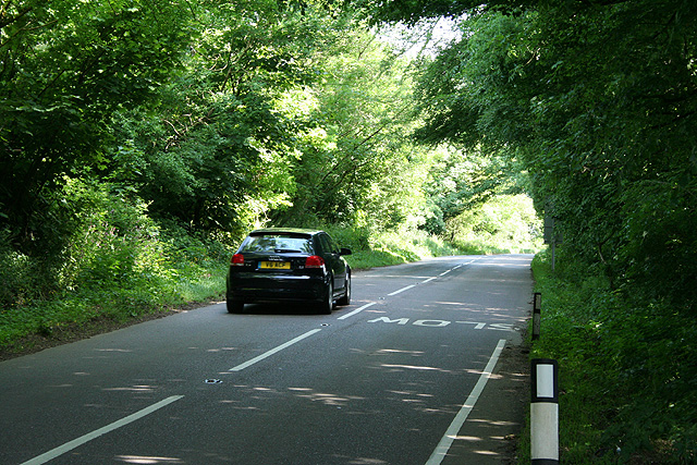
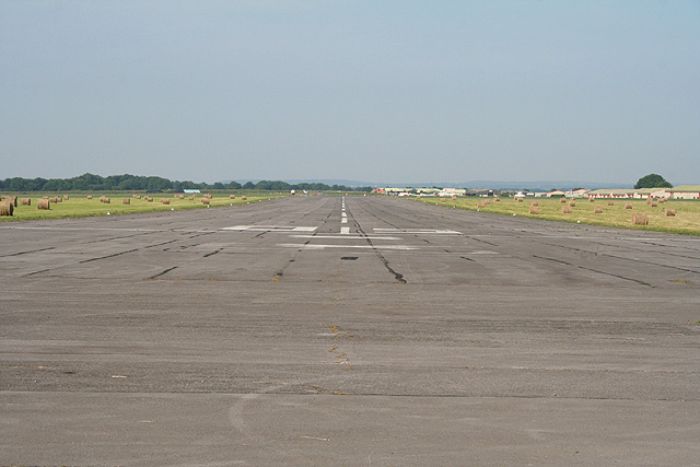
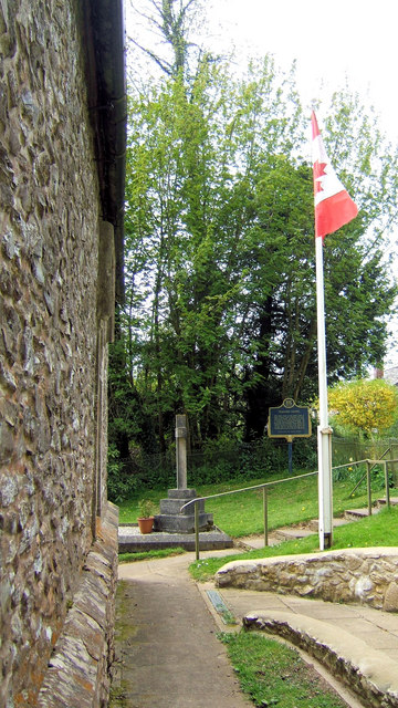
Sitka Plantation Images
Images are sourced within 2km of 50.842949/-3.2443531 or Grid Reference ST1205. Thanks to Geograph Open Source API. All images are credited.


Sitka Plantation is located at Grid Ref: ST1205 (Lat: 50.842949, Lng: -3.2443531)
Administrative County: Devon
District: East Devon
Police Authority: Devon and Cornwall
What 3 Words
///tiny.lakeside.cutback. Near Dunkeswell, Devon
Related Wikis
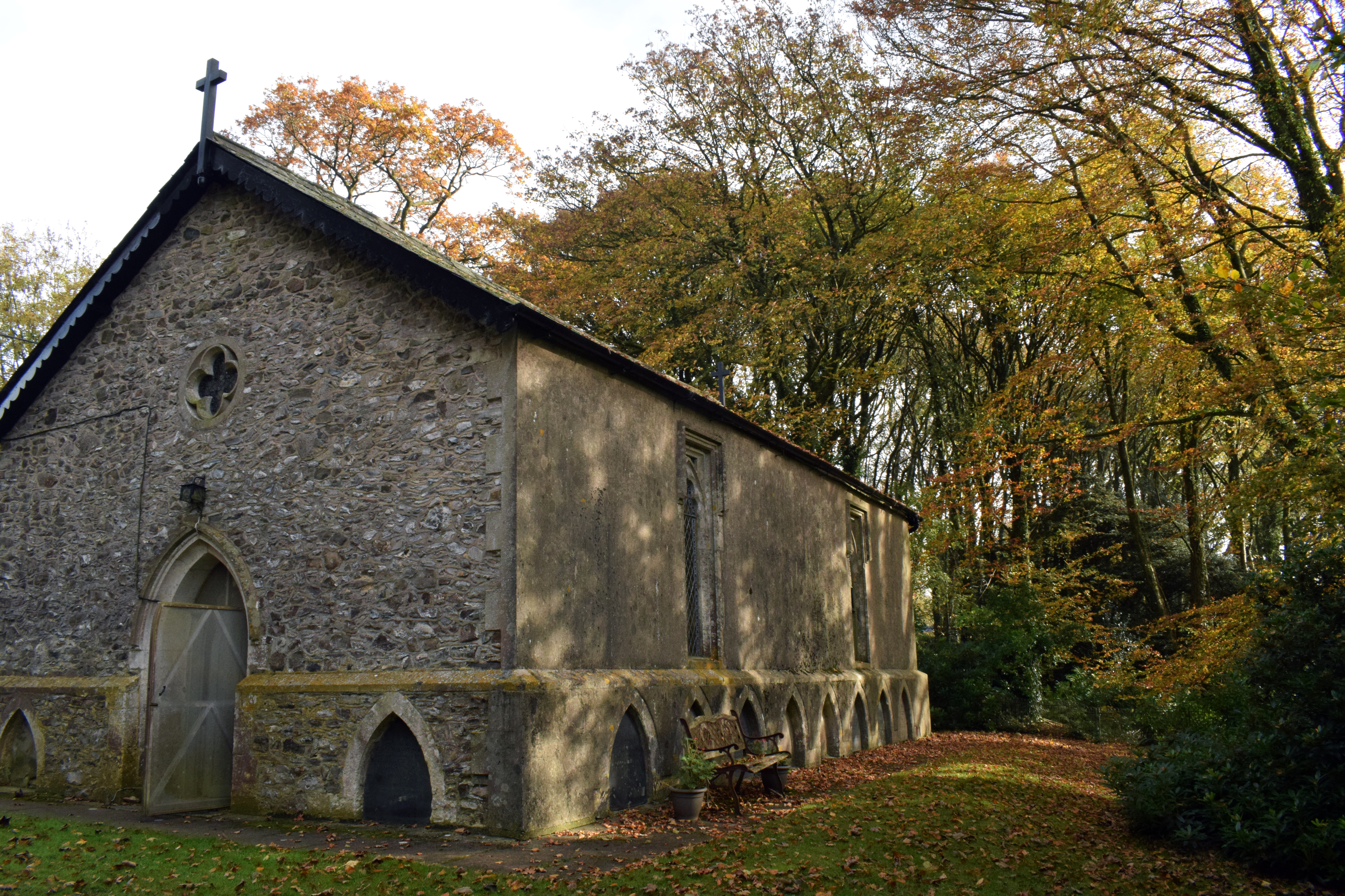
Wolford Chapel
Wolford Chapel in Devon, England, is the burial place of John Graves Simcoe, the first lieutenant governor of Upper Canada. It is the territory of the...
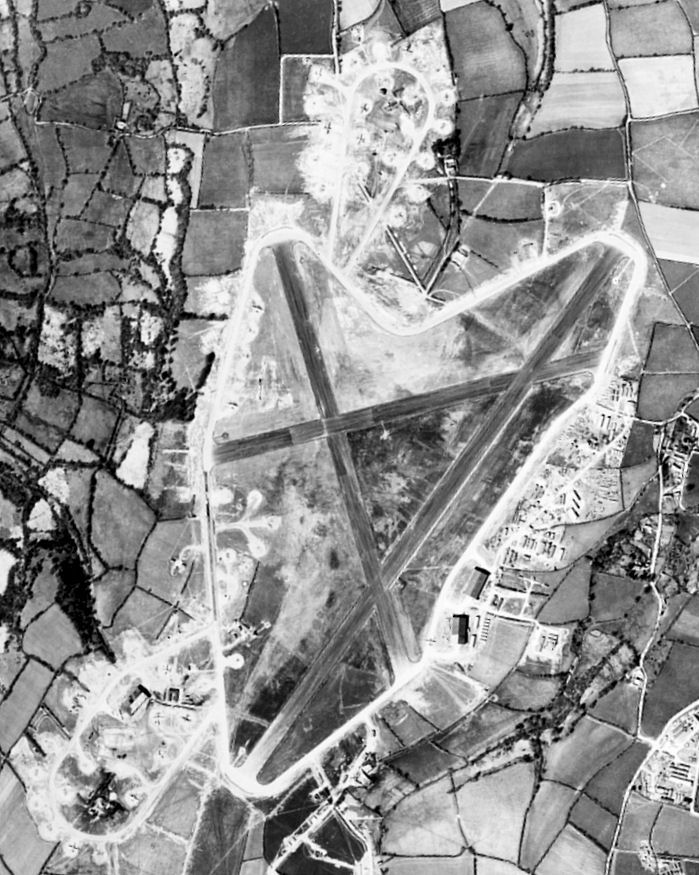
Dunkeswell Aerodrome
Dunkeswell Aerodrome (ICAO: EGTU) is an airfield in East Devon, England. It is located approximately 5 mi (8.0 km) north of the town of Honiton and 14...

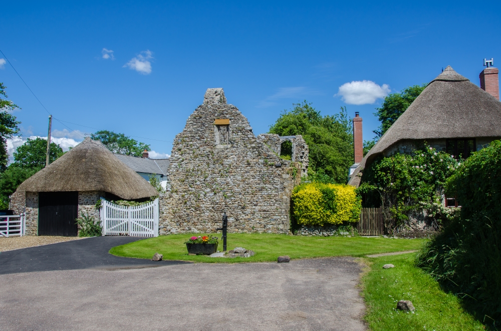
Broadhembury
Broadhembury is a village and civil parish in the East Devon district of Devon, England, 5 miles (8 km) north-west of Honiton.The civil parish includes...

Hembury
Hembury is a Neolithic causewayed enclosure and Iron Age hillfort near Honiton in Devon. Its history stretches from the late fifth and early fourth millennia...
Dunkeswell
Dunkeswell is a village and civil parish in East Devon, England, located about 5 miles (8.0 km) north of the town of Honiton. At the 2001 census, the...

Awliscombe
Awliscombe is a village and civil parish in the East Devon district of Devon, England. The village is about two miles west of Honiton. The 2011 census...

Sheldon, Devon
Sheldon is a village and civil parish in the East Devon district of the county of Devon in England. It is located in the Blackdown Hills, 6.5 miles (10...
The Grange, Broadhembury
The Grange is a historic estate in the parish of Broadhembury in Devon, England. The surviving 16th-century mansion house (known as The Grange) is listed...
Nearby Amenities
Located within 500m of 50.842949,-3.2443531Have you been to Sitka Plantation?
Leave your review of Sitka Plantation below (or comments, questions and feedback).