Dangerous Wood

Wood, Forest in Cumberland Allerdale

England

Dangerous Wood

A595 at Bridekirk turn
A595 at Bridekirk turn Credit: Colin Pyle

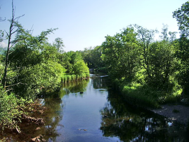
Dangerous Wood is a dense forest located in Cumberland, a historical county in the northwest of England. Spanning over a vast area, this woodland is known for its treacherous nature and challenging terrain, earning its ominous name.

The forest is characterized by its thick vegetation, comprising a mix of towering trees, shrubs, and wild undergrowth. The most prominent tree species found in Dangerous Wood include oak, beech, and ash, which contribute to the area's lush and picturesque landscape. However, amid its beauty lies a dangerous environment that requires caution and expertise to navigate.

One of the hazards of Dangerous Wood is its uneven ground, with steep slopes and deep ravines. This makes it a challenging destination for hikers and explorers, demanding a high level of physical fitness and agility. Additionally, the forest is home to various wildlife, including deer, foxes, and numerous bird species, which adds to its allure but also poses potential risks for those unfamiliar with the area.

The dense foliage of the forest can make it disorienting for visitors, as sunlight struggles to penetrate the thick canopy, casting shadows throughout the woodland. This, combined with the absence of marked trails or signposts, increases the difficulty of traversing Dangerous Wood, especially for inexperienced individuals.

Despite its dangers, the forest is a popular destination for adventure seekers and nature enthusiasts. It offers opportunities for hiking, wildlife observation, and photography. However, visitors are strongly advised to come prepared with appropriate equipment, maps, and local knowledge to ensure a safe and enjoyable experience in Dangerous Wood.

If you have any feedback on the listing, please let us know in the comments section below.

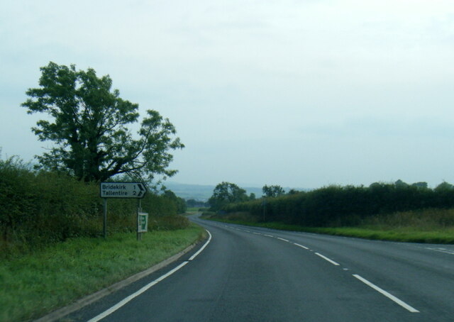
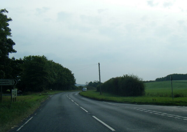
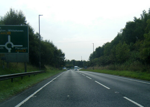
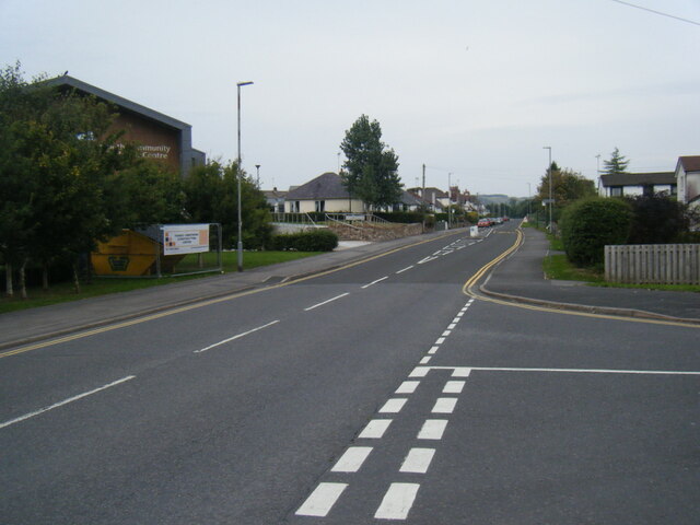
Dangerous Wood Images

Images are sourced within 2km of 54.677233/-3.3601377 or Grid Reference NY1232. Thanks to Geograph Open Source API. All images are credited.

A595 at Bridekirk turn
A595 near Lonning Farm
A595 at Anns Hill lane junction
A595 nears Cockermouth roundabout
Castlegate Drive near Cockermouth Hospital
Main Street, Cockermouth
The old church at Bridekirk The old church was built in 1130. Only the ruined chancel remains and the church was replaced by a more modern building nearby in 1868. As is so often the case, the headstones are in a  dangerous condition.
The old church at Bridekirk
The old church was built in 1130. Only the ruined chancel remains and the church was replaced by a more modern building nearby in 1868. As is so often the case, the headstones are in a dangerous condition.
Old barn at the northern end of Bridekirk village
South door to St Bridget's Church, Bridekirk The original church dated 1130 was replaced by the present structure in 1868. The new church incorporates a number of features from the design of the old church, including this neo-Norman arch at the south door.
South door to St Bridget's Church, Bridekirk
The original church dated 1130 was replaced by the present structure in 1868. The new church incorporates a number of features from the design of the old church, including this neo-Norman arch at the south door.
The font in St Bridget's Church, Bridekirk Housed now in the current 19th Century Church, this elaborate font probably came from the original church and may well date back to Norman times.
The font in St Bridget's Church, Bridekirk
Housed now in the current 19th Century Church, this elaborate font probably came from the original church and may well date back to Norman times.
Roman fragment in St Bridget's Church
Chancel of St Bridget's Church, Bridekirk Dating from 1868 but incorporating some of the features of the original 12th Century Church. The apse at the east end is unusual for a church in Britain.
Chancel of St Bridget's Church, Bridekirk
Dating from 1868 but incorporating some of the features of the original 12th Century Church. The apse at the east end is unusual for a church in Britain.
East end of St Bridget's Church Dating from 1868 to replace a 12th Century church nearby. The apse is an unusual features for churches in Britain. Grade II listed.
East end of St Bridget's Church
Dating from 1868 to replace a 12th Century church nearby. The apse is an unusual features for churches in Britain. Grade II listed.
River Derwent at Cockermouth In the middle distance, the confluence <a href="https://www.geograph.org.uk/gridref/NY1230">NY1230</a> of the Cocker (to the right) with the Derwent. Jennings Brewery beyond.
River Derwent at Cockermouth
In the middle distance, the confluence NY1230 of the Cocker (to the right) with the Derwent. Jennings Brewery beyond.
Miller's Bridge over the River Derwent Looking towards town. The bridge was opened by HRH the Princess Royal in July 2010.
Miller's Bridge over the River Derwent
Looking towards town. The bridge was opened by HRH the Princess Royal in July 2010.
Brewery Lane footbridge Lowest bridge over the River Cocker.
Brewery Lane footbridge
Lowest bridge over the River Cocker.
Waterloo Street The houses on the right back on to the River Derwent.
Waterloo Street
The houses on the right back on to the River Derwent.
Show me another place!

Dangerous Wood is located at Grid Ref: NY1232 (Lat: 54.677233, Lng: -3.3601377)

Administrative County: Cumbria

District: Allerdale

Police Authority: Cumbria

What 3 Words

///pricier.hydrant.warthog. Near Cockermouth, Cumbria

Related Wikis

Cockermouth School

Cockermouth School is a coeducational secondary school and sixth form located in Cockermouth in the English county of Cumbria.Previously a community school...

Cockermouth Castle

Cockermouth Castle (grid reference NY123309) is in the town of Cockermouth in Cumbria on a site by the junction of the Rivers Cocker and Derwent. It is...

Jennings Brewery

Jennings Brewery was established as a family concern in 1828 in the village of Lorton, between Buttermere and Cockermouth in the Lake District, England...

River Cocker, Cumbria

The River Cocker is a river in the Lake District in North West England, in the county of Cumbria. Its source is at the head of the Buttermere valley. It...

Bridekirk

Bridekirk is a village and civil parish in the Cumberland district in the county of Cumbria, England. It is around 3.2 kilometres (2 mi) north of the Derwent...

Cockermouth United Reformed Church

Cockermouth United Reformed Church is a congregation first established at Cockermouth, England, in 1651. Originally known as Cockermouth Independent Church...

Cockermouth Rural District

Cockermouth was a rural district in Cumberland, England, from 1894 to 1974. It was created by the Local Government Act 1894 based on Cockermouth rural...

Papcastle

Papcastle is a village and civil parish in the borough of Allerdale in the English county of Cumbria. The village is now effectively a northern extension...

Nearby Amenities

Located within 500m of 54.677233,-3.3601377
Wood Hall
Addr City: Bridekirk
Addr Postcode: CA13 0NX
Phone: +44 7771 727483
Tourism: guest_house
Website: http://wood-hall.co.uk/
Lat/Long: 54.6788838/-3.3588865
Woodhall Park
Place: locality
Lat/Long: 54.6759423/-3.3654017
Home Wood
Natural: wood
Lat/Long: 54.6793662/-3.3561452
Dangerous Wood
Natural: wood
Lat/Long: 54.6757104/-3.3617135
Generator Method: photovoltaic
Generator Orientation: south_east
Generator Output Electricity: yes
Generator Solar Modules: 15
Generator Source: solar
Generator Type: solar_photovoltaic_panel
Location: roof
Power: generator
Lat/Long: 54.6790208/-3.3585032
Power: pole
Lat/Long: 54.6776274/-3.3615424
Power: pole
Lat/Long: 54.6779584/-3.3610092
Power: pole
Lat/Long: 54.6782655/-3.3605441
Power: pole
Lat/Long: 54.6786109/-3.3600129
Power: pole
Lat/Long: 54.6792574/-3.3602093
Power: pole
Lat/Long: 54.679954/-3.3616788
Power: pole
Lat/Long: 54.6803161/-3.3624209
Power: pole
Lat/Long: 54.6812888/-3.3628198
The data included in this document is from www.openstreetmap.org. The data is made available under ODbL.

Have you been to Dangerous Wood?

Leave your review of Dangerous Wood below (or comments, questions and feedback).