Lickham Plantation
Wood, Forest in Devon Mid Devon
England
Lickham Plantation

Lickham Plantation is a picturesque woodland located in Devon, England. Situated in the heart of the county, this woodland area covers an extensive area of approximately 500 acres. Known for its serene beauty and abundant wildlife, Lickham Plantation attracts nature enthusiasts and outdoor lovers from far and wide.
The plantation boasts a rich history that dates back several centuries. Originally established as a hunting ground for the local nobility, Lickham Plantation was later converted into a commercial woodland in the early 19th century. The woodland is primarily composed of native tree species, including oak, beech, and birch, creating a diverse and vibrant ecosystem.
Visitors to Lickham Plantation can explore its numerous walking trails, which wind through the enchanting woodlands and offer breathtaking views of the surrounding landscape. The trails are well-maintained and cater to all levels of fitness, making it accessible to both casual strollers and experienced hikers.
The woodland is home to a wide variety of wildlife, including deer, foxes, badgers, and an array of bird species. Nature lovers can enjoy birdwatching or try their luck at spotting the elusive red squirrels that inhabit the area.
Lickham Plantation is also a popular destination for photography and nature workshops, with its stunning scenery providing the perfect backdrop for capturing memorable moments. Additionally, the woodland offers designated picnic areas, allowing visitors to relax and enjoy a peaceful meal amidst the tranquil surroundings.
Overall, Lickham Plantation is a natural gem in Devon, offering visitors a chance to immerse themselves in the beauty of a traditional English woodland and experience the wonders of nature firsthand.
If you have any feedback on the listing, please let us know in the comments section below.
Lickham Plantation Images
Images are sourced within 2km of 50.903123/-3.2407091 or Grid Reference ST1212. Thanks to Geograph Open Source API. All images are credited.


Lickham Plantation is located at Grid Ref: ST1212 (Lat: 50.903123, Lng: -3.2407091)
Administrative County: Devon
District: Mid Devon
Police Authority: Devon and Cornwall
What 3 Words
///cookies.somebody.fidgeting. Near Hemyock, Devon
Nearby Locations
Related Wikis
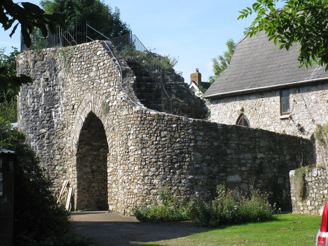
Hemyock Castle
Hemyock Castle is a ruined 14th-century castle in the village of Hemyock, Devon, England. It was built by Sir William Asthorpe after 1380 to a quadrangular...

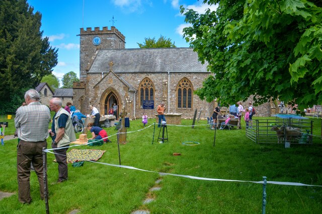
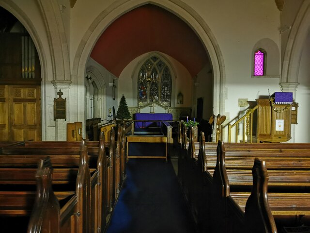
Hemyock
Hemyock () is a village and civil parish in Devon, England. It is about 8 miles north-west of Honiton and 5 miles (8 km) south of the Somerset town of...

Whitehall Halt railway station
Whitehall Halt railway station existed on the Culm Valley Light Railway in Devon, England, from 1933 to 1963. == History == The station was opened on 27...
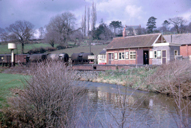
Hemyock railway station
Hemyock railway station served the village of Hemyock, Devon, England, from 1876 to 1963 on the Culm Valley Light Railway. == History == The station was...
Goodleigh, Mid Devon
Goodleigh is a village about 1 km northeast of Bodmiscombe in the county of Devon, England.The origin of the place-name is from the Old English words Goda...
Abbey, Devon
Abbey is a hamlet in the English county of Devon. It is located in the Blackdown Hills, a group of hills that border both Devon and Somerset. Dunkeswell...

Culm Davy
Culm Davy is a historic manor and present-day hamlet within the parish of Hemyock in Devon. == History == The estate of Cumbe is listed in the Domesday...
Culmstock Halt railway station
Culmstock Halt railway station served the village of Culmstock, Devon, England, from 1876 to 1963 on the Culm Valley Light Railway. == History == The station...
Nearby Amenities
Located within 500m of 50.903123,-3.2407091Have you been to Lickham Plantation?
Leave your review of Lickham Plantation below (or comments, questions and feedback).