Steps Plantation
Wood, Forest in Cumberland Copeland
England
Steps Plantation

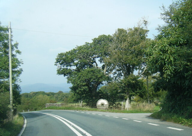
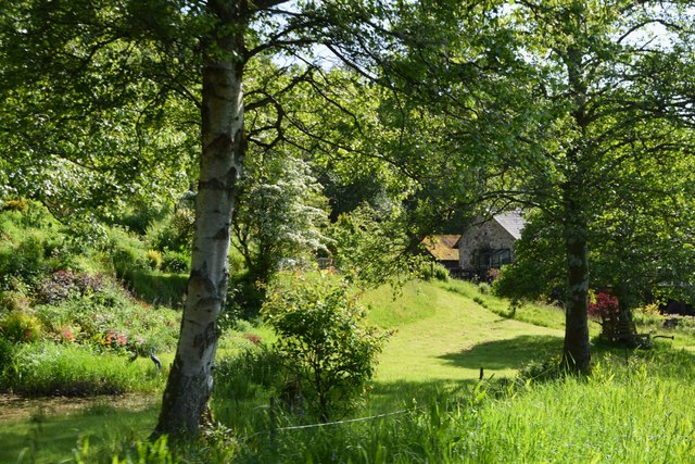
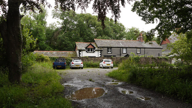
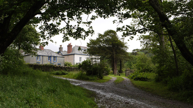
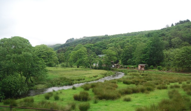
Steps Plantation is a picturesque woodland situated in Cumberland, an area known for its natural beauty and scenic landscapes. The plantation is characterized by its dense growth of various types of trees, creating a thriving forest ecosystem. The predominant tree species found in Steps Plantation include oak, beech, and pine, which contribute to the rich biodiversity of the area.
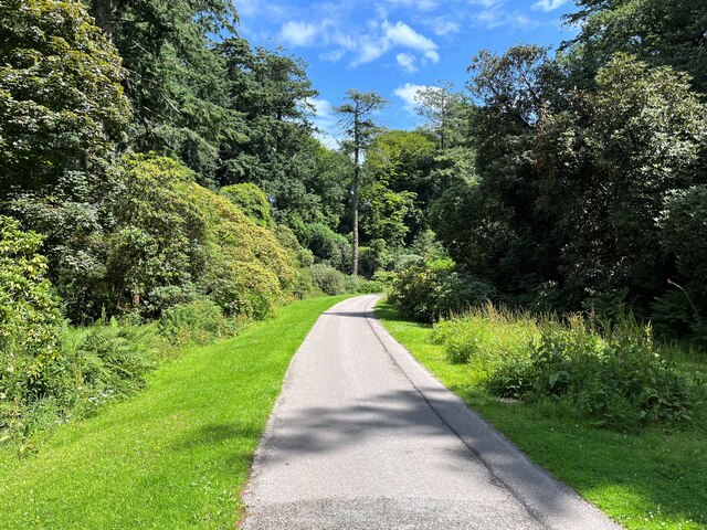
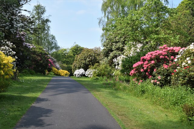
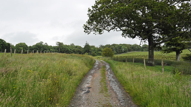
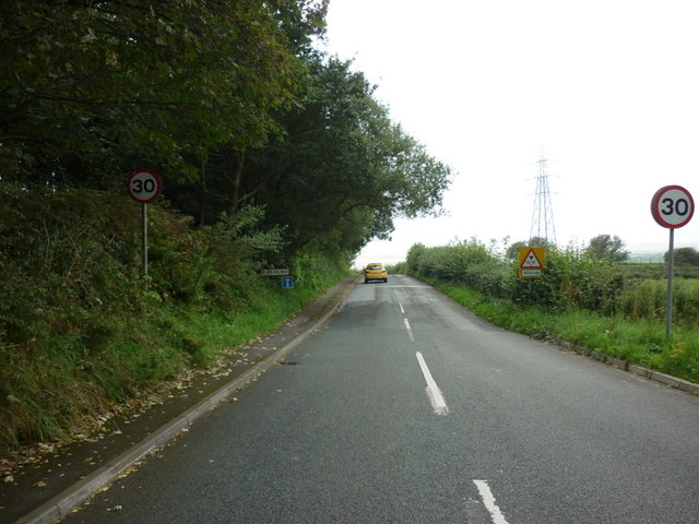
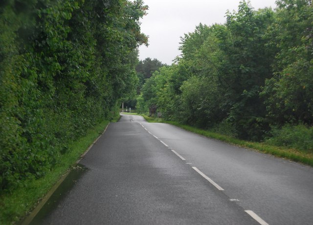
Covering an extensive area, Steps Plantation offers visitors a serene and peaceful environment to explore and connect with nature. The woodland is crisscrossed by well-maintained footpaths, allowing easy access and navigation through the plantation. These paths provide an opportunity for visitors to enjoy leisurely walks or engage in more adventurous activities like hiking and birdwatching.
The plantation is home to a diverse range of flora and fauna, making it an ideal habitat for a variety of wildlife species. Visitors may encounter various bird species, including woodpeckers, owls, and thrushes, as well as small mammals such as squirrels and rabbits. The lush undergrowth of the plantation supports the growth of wildflowers and ferns, adding to the overall beauty of the woodland.
Steps Plantation also boasts a rich history, with remnants of old stone steps that were once used by workers to access the higher parts of the forest. These steps serve as a reminder of the area's past and provide an interesting focal point for visitors.
Overall, Steps Plantation offers a delightful natural escape for nature enthusiasts, providing a tranquil setting to appreciate the beauty of the Cumberland woodlands.
If you have any feedback on the listing, please let us know in the comments section below.
Steps Plantation Images
Images are sourced within 2km of 54.353648/-3.375245 or Grid Reference SD1096. Thanks to Geograph Open Source API. All images are credited.

Steps Plantation is located at Grid Ref: SD1096 (Lat: 54.353648, Lng: -3.375245)
Administrative County: Cumbria
District: Copeland
Police Authority: Cumbria
What 3 Words
///scrap.afflict.snacking. Near Seascale, Cumbria
Nearby Locations
Related Wikis

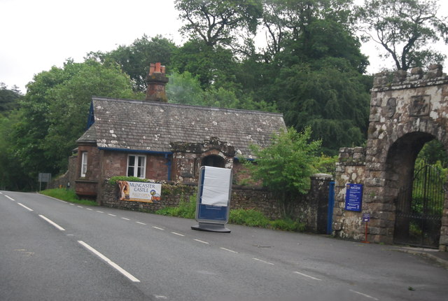
Muncaster Castle
Muncaster Castle is a privately owned castle overlooking the River Esk, about a mile east of the west-coastal town of Ravenglass in Cumbria, England. It...

Muncaster
Muncaster is a civil parish in Cumbria, North West England. The parish is 41 miles (66 km) south west of the city of Carlisle, in the Copeland district...

St Michael's Church, Muncaster
St Michael's Church is in the grounds of Muncaster Castle, near Ravenglass, Cumbria, England. It is an active Anglican parish church in the deanery of...

St John's Church, Waberthwaite
St John's Church is situated on the south bank of the River Esk in the hamlet of Hall Waberthwaite in the former civil parish of Waberthwaite (now part...

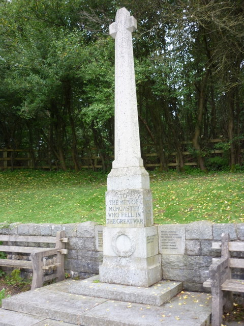
Muncaster War Memorial
Muncaster War Memorial is a First World War memorial in the parish of Muncaster on the west coast of Cumbria in the far north-west of England. The memorial...

Broad Oak, Cumbria
Broad Oak is a hamlet in Cumbria, England. It is located along the A595 road, 14.4 miles (23.2 km) by road south of Egremont. == See also == List of places...
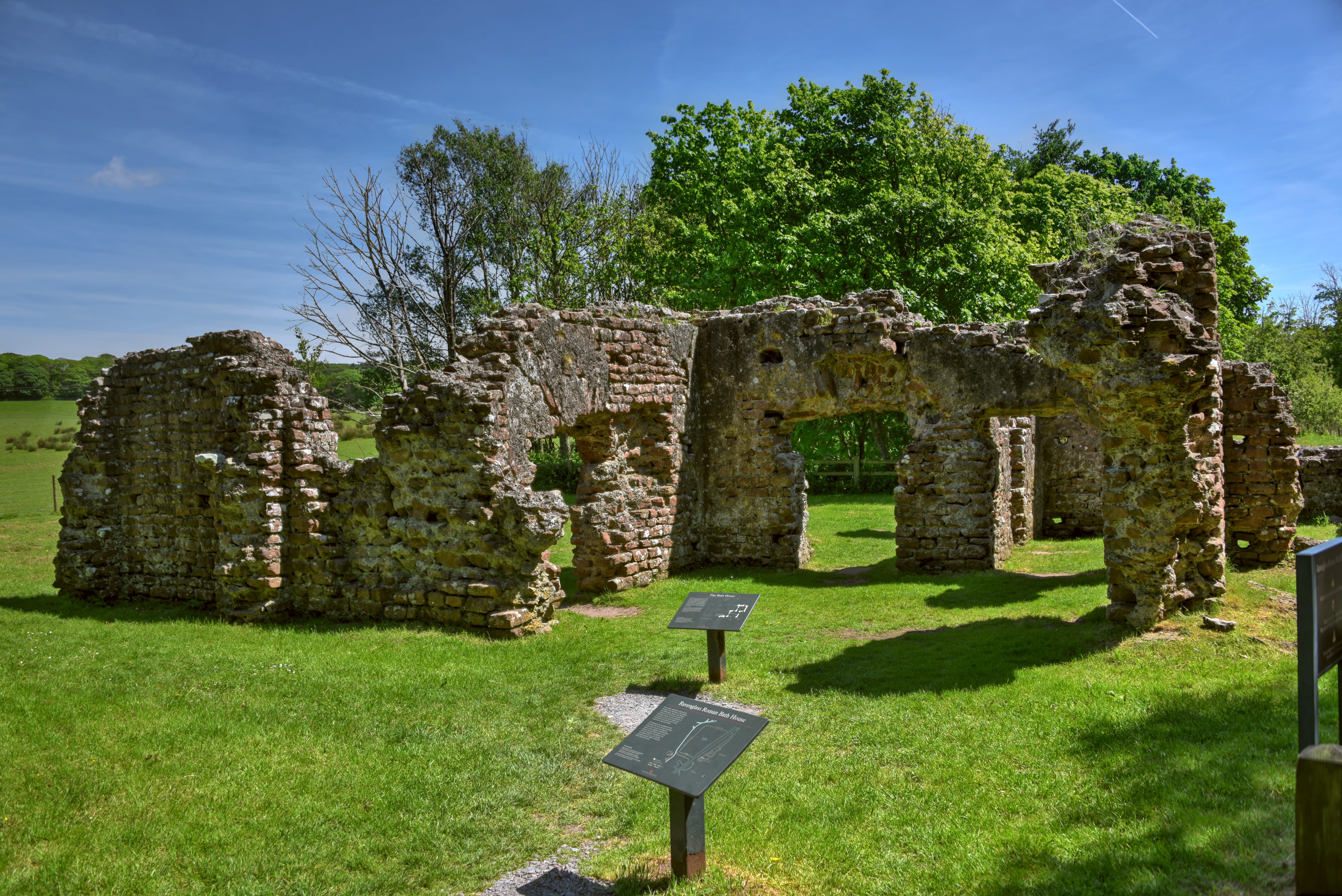
Ravenglass Roman Bath House
Ravenglass Roman Bath House (also known as Walls Castle) is a ruined ancient Roman bath house at Ravenglass, Cumbria, England. Belonging to a 2nd-century...

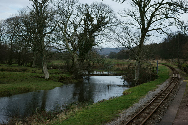
Muncaster Mill railway station
Muncaster Mill railway station is a railway station on the 15 in (381 mm) gauge Ravenglass & Eskdale Railway in Cumbria, England. The station is located...
Nearby Amenities
Located within 500m of 54.353648,-3.375245Have you been to Steps Plantation?
Leave your review of Steps Plantation below (or comments, questions and feedback).