Little Moor Copse
Wood, Forest in Devon East Devon
England
Little Moor Copse

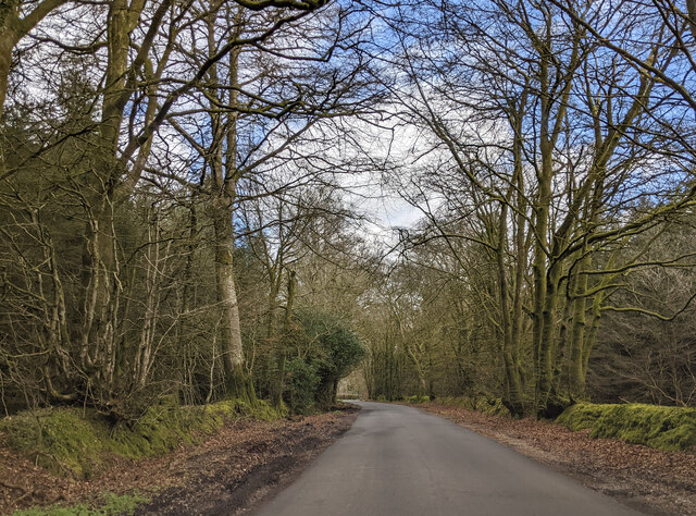
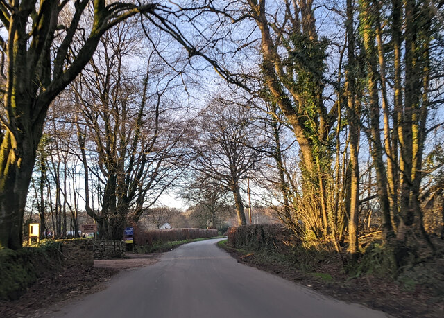
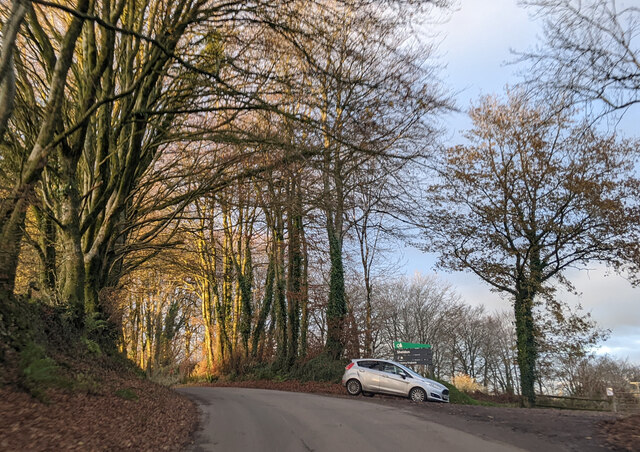
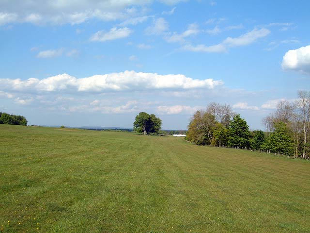
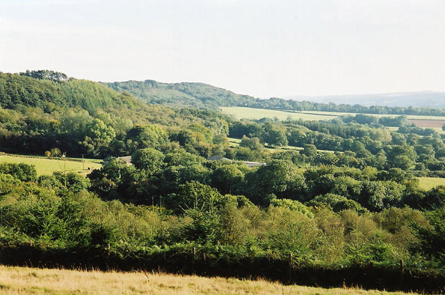
Little Moor Copse is a picturesque woodland located in Devon, England. Spread across an area of approximately 50 acres, this enchanting forest is a haven for nature lovers and outdoor enthusiasts alike.
The copse is primarily composed of native tree species such as oak, beech, and birch, which create a dense canopy overhead, filtering sunlight and creating a tranquil atmosphere below. The forest floor is covered in a thick layer of moss, providing a soft cushion for visitors to walk on.
As visitors venture deeper into the copse, they will discover a diverse range of plant and animal life. The forest is teeming with wildlife, including a variety of bird species such as woodpeckers, owls, and thrushes. Additionally, the copse is home to small mammals like squirrels, rabbits, and foxes, which can often be spotted darting through the undergrowth.
The copse is crisscrossed by a network of well-maintained trails, allowing visitors to fully explore its natural beauty. These paths wind through the trees, offering glimpses of wildflowers, ferns, and mushrooms along the way. The sound of a babbling brook can be heard in certain areas, adding to the overall serenity of the place.
Little Moor Copse is a popular destination for both locals and tourists seeking a peaceful escape from the hustle and bustle of everyday life. Whether it's for a leisurely walk, birdwatching, or simply enjoying the beauty of nature, this woodland offers a truly rejuvenating experience for all who visit.
If you have any feedback on the listing, please let us know in the comments section below.
Little Moor Copse Images
Images are sourced within 2km of 50.846716/-3.269482 or Grid Reference ST1006. Thanks to Geograph Open Source API. All images are credited.


Little Moor Copse is located at Grid Ref: ST1006 (Lat: 50.846716, Lng: -3.269482)
Administrative County: Devon
District: East Devon
Police Authority: Devon and Cornwall
What 3 Words
///dragging.clincher.shallower. Near Dunkeswell, Devon
Nearby Locations
Related Wikis

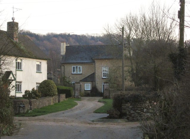
Broadhembury
Broadhembury is a village and civil parish in the East Devon district of Devon, England, 5 miles (8 km) north-west of Honiton. The civil parish includes...
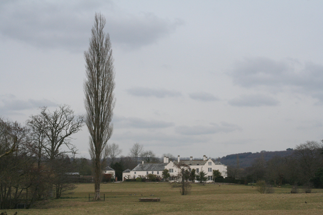
The Grange, Broadhembury
The Grange is a historic estate in the parish of Broadhembury in Devon, England. The surviving 16th-century mansion house (known as The Grange) is listed...
Bodmiscombe
Bodmiscombe is a village in Devon, England. == External links == Media related to Bodmiscombe at Wikimedia Commons

Sheldon, Devon
Sheldon is a village and civil parish in the East Devon district of the county of Devon in England. It is located in the Blackdown Hills, 6.5 miles (10...
Have you been to Little Moor Copse?
Leave your review of Little Moor Copse below (or comments, questions and feedback).