Haggs Park
Downs, Moorland in Cumberland Copeland
England
Haggs Park

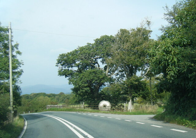
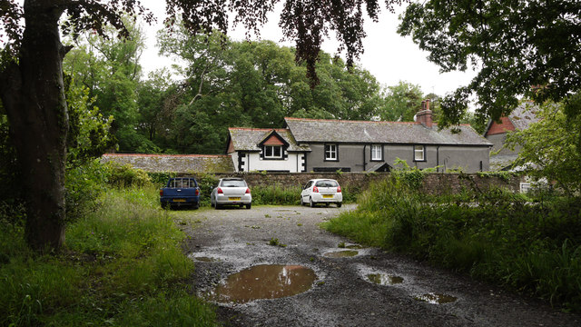
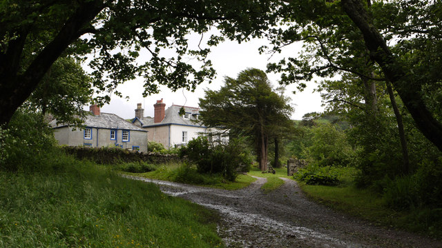
Haggs Park is a picturesque area located in Cumberland, England, specifically in the region known as Downs, Moorland. Spread across an expansive landscape, the park spans approximately 200 acres, making it a popular destination for locals and tourists alike. The park is renowned for its natural beauty and tranquil atmosphere, offering visitors a peaceful retreat from the hustle and bustle of everyday life.
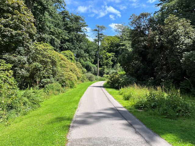
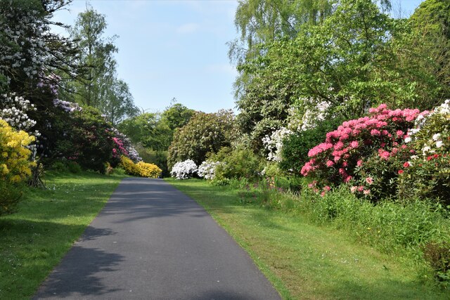
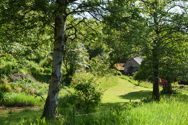
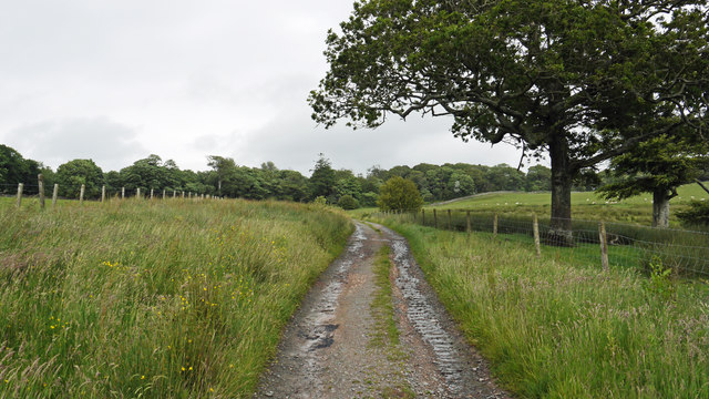
The park features a diverse range of flora and fauna, including rolling hills covered in lush green grass, vibrant wildflowers, and a variety of native trees such as oak and beech. These natural elements provide a stunning backdrop for leisurely walks, picnics, or simply unwinding amidst nature's embrace.
Haggs Park also boasts a network of well-maintained walking trails, which wind their way through the park, offering visitors the opportunity to explore its different sections and discover hidden gems along the way. These pathways cater to all levels of fitness and are suitable for both casual strollers and avid hikers.
Moreover, the park includes several amenities to enhance visitors' experience. Families can enjoy designated picnic areas, complete with benches and tables, allowing them to relax and enjoy a meal while taking in the breathtaking surroundings. Additionally, there are well-equipped play areas for children, providing them with ample space to run, climb, and play.
Overall, Haggs Park offers a delightful escape into nature, providing visitors with a serene environment to connect with the outdoors and enjoy a range of recreational activities. Whether it's a leisurely stroll, a picnic with loved ones, or an adventure-filled hike, this picturesque park has something to offer for everyone.
If you have any feedback on the listing, please let us know in the comments section below.
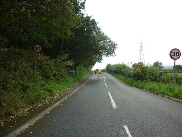
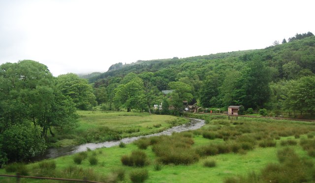
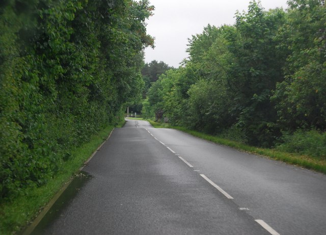
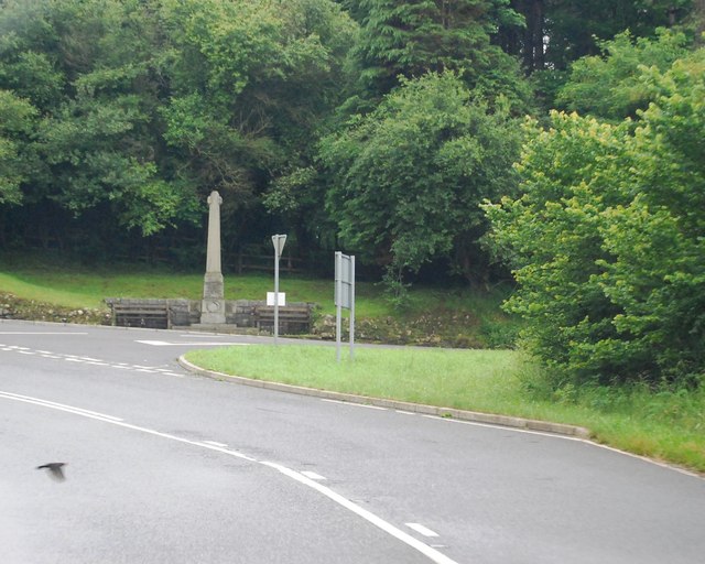
Haggs Park Images
Images are sourced within 2km of 54.352283/-3.3767227 or Grid Reference SD1096. Thanks to Geograph Open Source API. All images are credited.

Haggs Park is located at Grid Ref: SD1096 (Lat: 54.352283, Lng: -3.3767227)
Administrative County: Cumbria
District: Copeland
Police Authority: Cumbria
What 3 Words
///chairing.lyrics.flattered. Near Seascale, Cumbria
Nearby Locations
Related Wikis

Muncaster Castle
Muncaster Castle is a privately owned castle overlooking the River Esk, about a mile east of the west-coastal town of Ravenglass in Cumbria, England. It...

Muncaster
Muncaster is a civil parish in Cumbria, North West England. The parish is 41 miles (66 km) south west of the city of Carlisle, in the Copeland district...

St Michael's Church, Muncaster
St Michael's Church is in the grounds of Muncaster Castle, near Ravenglass, Cumbria, England. It is an active Anglican parish church in the deanery of...

St John's Church, Waberthwaite
St John's Church is situated on the south bank of the River Esk in the hamlet of Hall Waberthwaite in the former civil parish of Waberthwaite (now part...

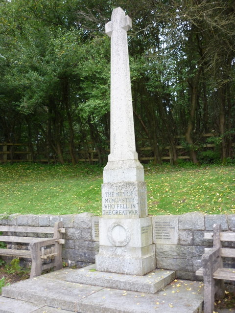
Muncaster War Memorial
Muncaster War Memorial is a First World War memorial in the parish of Muncaster on the west coast of Cumbria in the far north-west of England. The memorial...
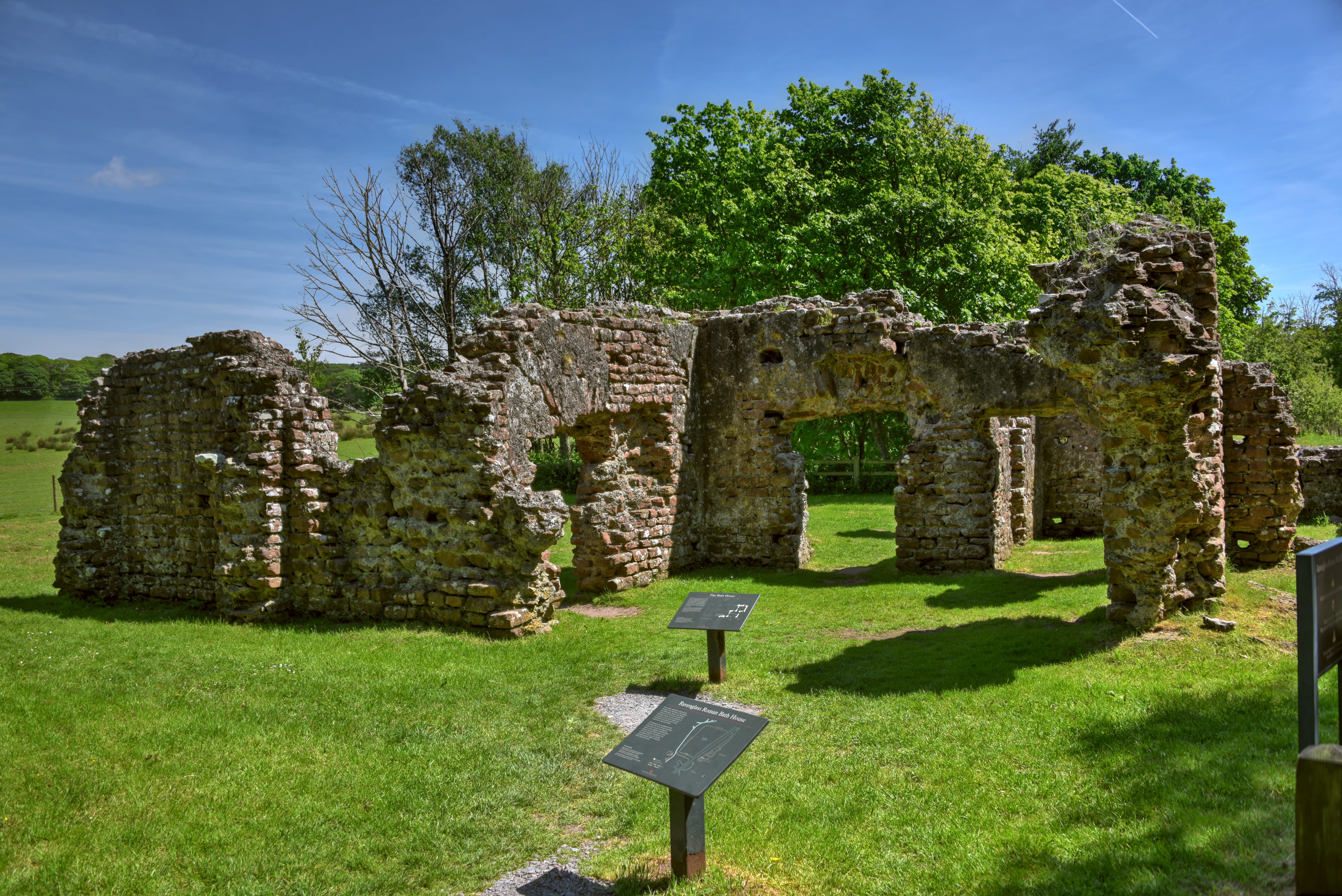
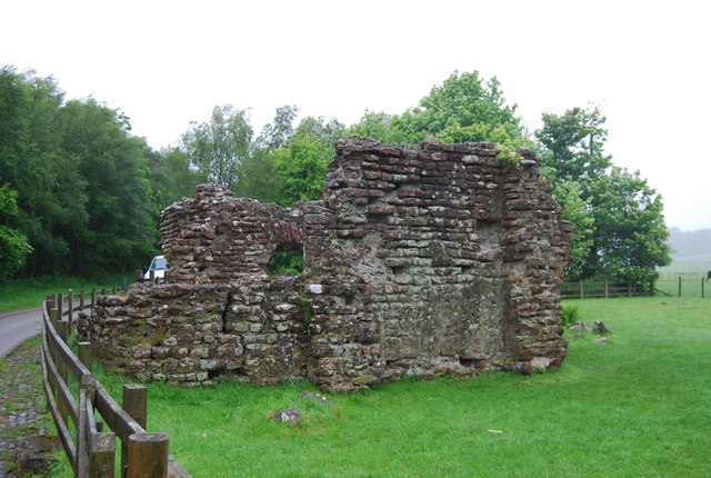
Ravenglass Roman Bath House
Ravenglass Roman Bath House (also known as Walls Castle) is a ruined ancient Roman bath house at Ravenglass, Cumbria, England. Belonging to a 2nd-century...

Broad Oak, Cumbria
Broad Oak is a hamlet in Cumbria, England. It is located along the A595 road, 14.4 miles (23.2 km) by road south of Egremont. == See also == List of places...
Glannoventa
Glannoventa is a Roman fort associated with the Roman naval base at Ravenglass in Cumbria, England. Its name is derived from the Latin place-name Clanoventa...
Nearby Amenities
Located within 500m of 54.352283,-3.3767227Have you been to Haggs Park?
Leave your review of Haggs Park below (or comments, questions and feedback).