Geordy Wife Hole
Sea, Estuary, Creek in Cumberland Copeland
England
Geordy Wife Hole

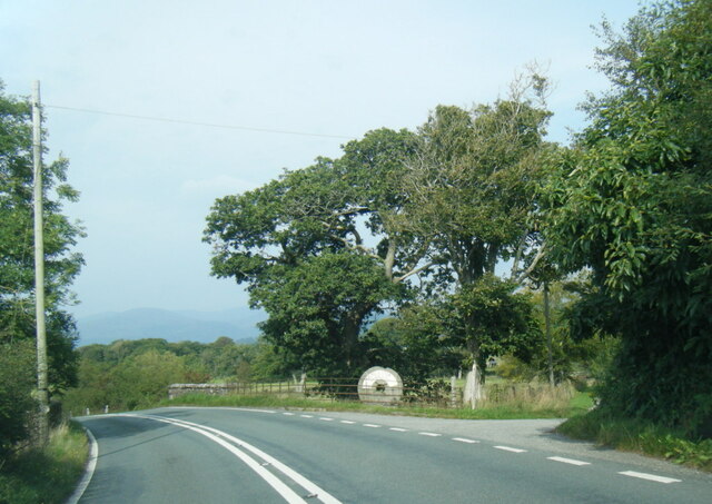
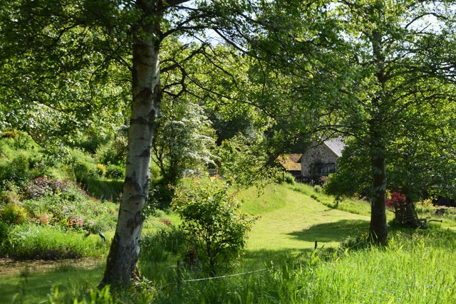
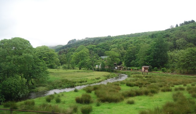
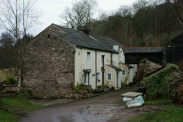
Geordy Wife Hole is a small estuary located in Cumberland, a historic county in northwestern England. It is situated near the town of Whitehaven, close to the Irish Sea. The estuary is formed by the convergence of a creek and the sea, creating a unique and diverse ecosystem.
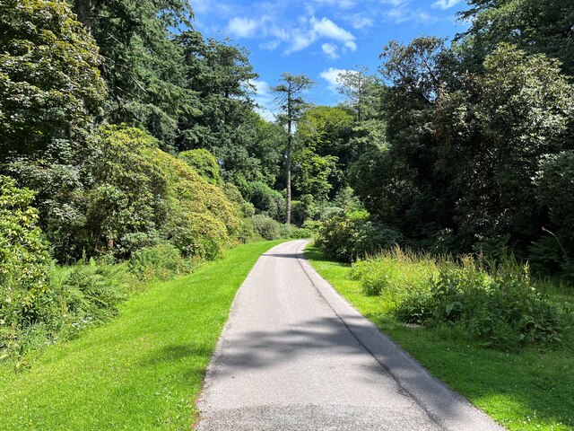
The estuary is characterized by its stunning natural beauty, with picturesque views of the surrounding hills and the serene waters. The area is rich in wildlife, attracting a variety of bird species such as herons, gulls, and waders. The estuary serves as an important habitat for these birds, providing them with food and shelter.
Geordy Wife Hole is also known for its recreational activities, particularly fishing. The estuary is home to various fish species, including flounder, bass, and mullet, making it a popular spot for anglers. Fishing enthusiasts can be seen casting their lines from the banks, hoping to catch their next big catch.
Additionally, the estuary offers opportunities for boating and kayaking. The calm waters and picturesque surroundings make it an ideal location for leisurely boat trips and exploring the area's natural beauty.
Overall, Geordy Wife Hole in Cumberland is a charming estuary that combines breathtaking scenery with abundant wildlife. Whether it's birdwatching, fishing, or simply enjoying a peaceful boat ride, visitors can immerse themselves in the tranquility and natural wonders of this stunning coastal gem.
If you have any feedback on the listing, please let us know in the comments section below.
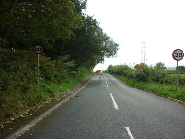
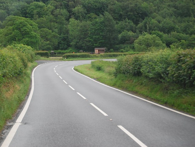
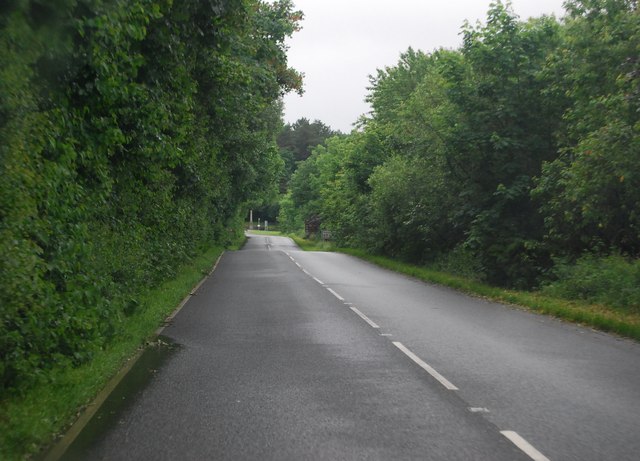
Geordy Wife Hole Images
Images are sourced within 2km of 54.35566/-3.3737734 or Grid Reference SD1096. Thanks to Geograph Open Source API. All images are credited.
Geordy Wife Hole is located at Grid Ref: SD1096 (Lat: 54.35566, Lng: -3.3737734)
Administrative County: Cumbria
District: Copeland
Police Authority: Cumbria
What 3 Words
///observer.times.refer. Near Seascale, Cumbria
Nearby Locations
Related Wikis

St Michael's Church, Muncaster
St Michael's Church is in the grounds of Muncaster Castle, near Ravenglass, Cumbria, England. It is an active Anglican parish church in the deanery of...

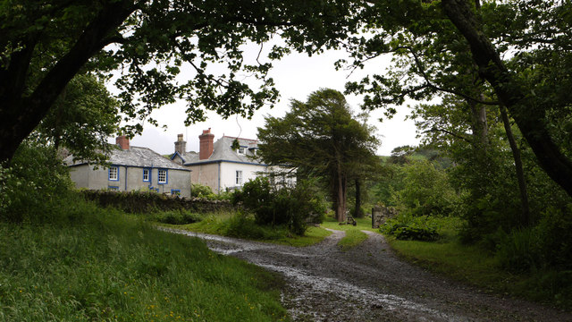
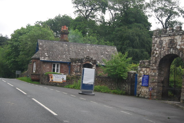
Muncaster
Muncaster is a civil parish in Cumbria, North West England. The parish is 41 miles (66 km) south west of the city of Carlisle, in the Copeland district...

Muncaster Castle
Muncaster Castle is a privately owned castle overlooking the River Esk, about a mile east of the west-coastal town of Ravenglass in Cumbria, England. It...

St John's Church, Waberthwaite
St John's Church is situated on the south bank of the River Esk in the hamlet of Hall Waberthwaite in the former civil parish of Waberthwaite (now part...

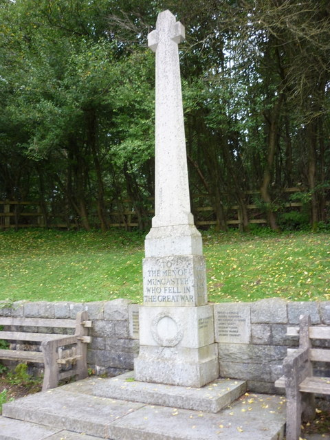
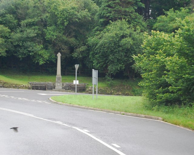
Muncaster War Memorial
Muncaster War Memorial is a First World War memorial in the parish of Muncaster on the west coast of Cumbria in the far north-west of England. The memorial...

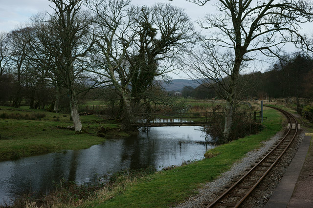
Muncaster Mill railway station
Muncaster Mill railway station is a railway station on the 15 in (381 mm) gauge Ravenglass & Eskdale Railway in Cumbria, England. The station is located...

Miteside Halt railway station
Miteside Halt railway station is a railway station on the 15" gauge Ravenglass & Eskdale Railway in Cumbria, England. It is located where public footpath...

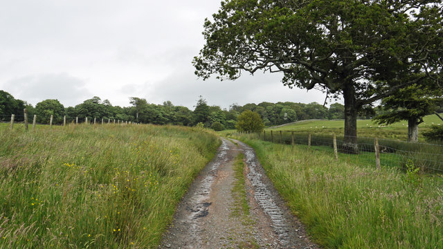
Muncaster Fell
Muncaster Fell is a fell at the far western edge of the Lake District National Park, in Cumbria, England. Muncaster Fell is a long, narrow ridge of land...
Nearby Amenities
Located within 500m of 54.35566,-3.3737734Have you been to Geordy Wife Hole?
Leave your review of Geordy Wife Hole below (or comments, questions and feedback).