Hirst Park
Downs, Moorland in Cumberland Copeland
England
Hirst Park

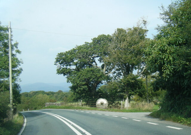
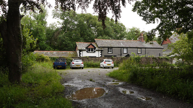
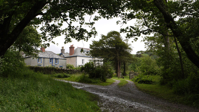
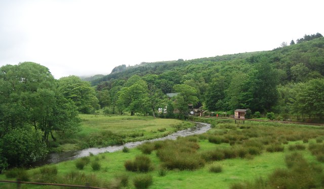
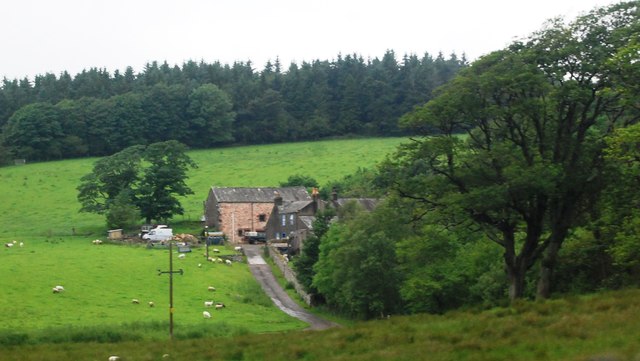
Hirst Park, located in Cumberland, England, is a picturesque and expansive recreational area that encompasses various landscapes, including downs, moorland, and woodlands. Covering an extensive area of approximately 500 acres, the park offers a diverse range of natural habitats and stunning views for visitors to enjoy.
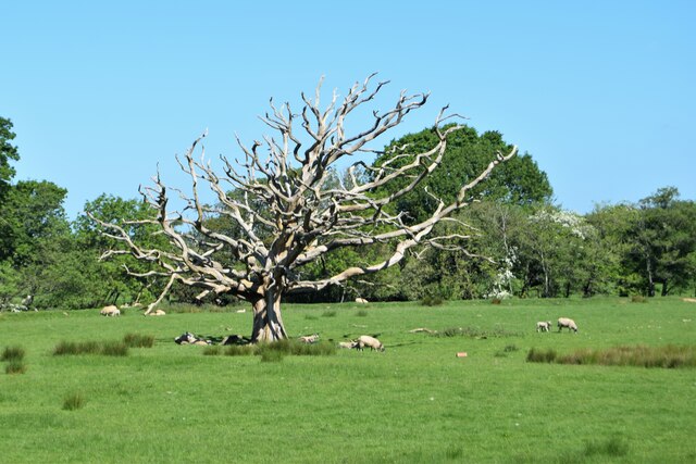
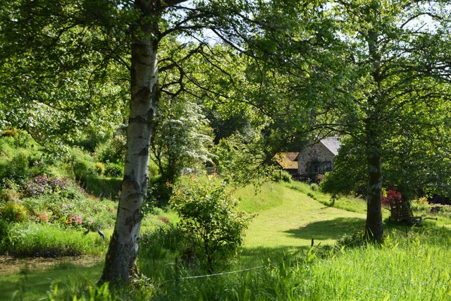
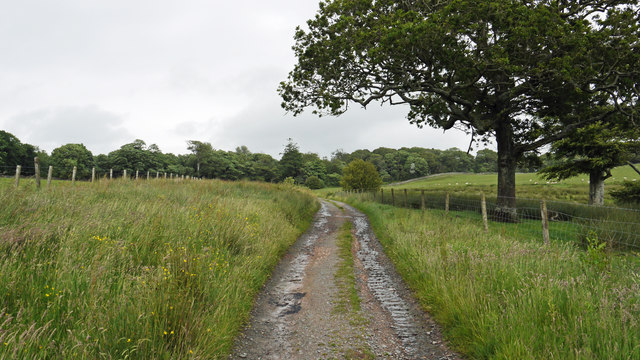
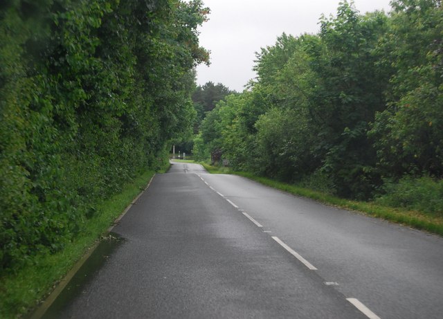
The downs in Hirst Park are characterized by their gently rolling hills and open grassland, making them ideal for leisurely walks and picnics. The park's moorland areas showcase the region's rugged beauty, with heather-covered hills and rocky outcrops providing a sense of tranquility and a perfect backdrop for nature enthusiasts.
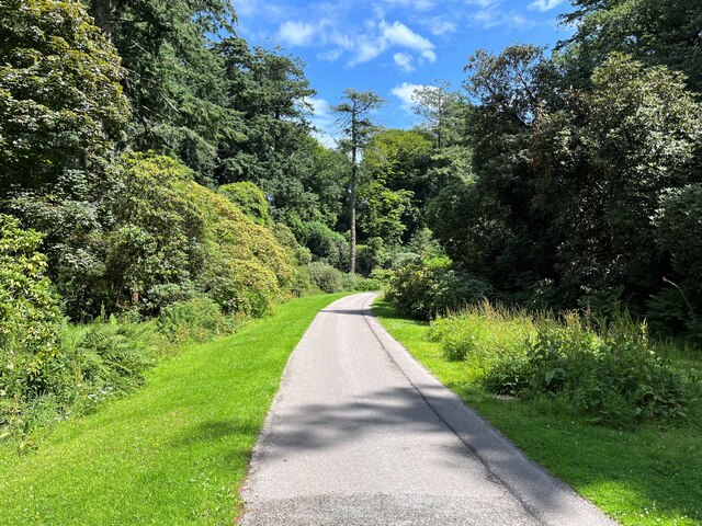
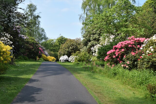
For those seeking more adventurous activities, the park offers a network of well-maintained trails and paths, making it ideal for hiking, cycling, and horseback riding. The diverse flora and fauna present in Hirst Park also provide ample opportunities for wildlife spotting and bird watching.
The park's woodlands, comprising a mix of native and exotic trees, create a serene atmosphere and offer shade during hot summer days. Visitors can explore these woodlands through well-marked trails, discovering hidden pockets of nature and enjoying the calming sounds of birdsong.
Hirst Park also boasts various amenities to enhance visitors' experiences. There are designated picnic areas, children's play areas, and even a café where visitors can relax and refuel. Additionally, the park hosts regular events and activities, including guided nature walks and educational programs, further promoting an appreciation for the local environment.
In conclusion, Hirst Park in Cumberland is a stunning natural haven, offering an array of landscapes and recreational opportunities for people of all ages to enjoy. With its downs, moorland, and woodlands, the park provides a diverse and captivating experience for nature lovers and outdoor enthusiasts alike.
If you have any feedback on the listing, please let us know in the comments section below.
Hirst Park Images
Images are sourced within 2km of 54.357924/-3.3762804 or Grid Reference SD1096. Thanks to Geograph Open Source API. All images are credited.

Hirst Park is located at Grid Ref: SD1096 (Lat: 54.357924, Lng: -3.3762804)
Administrative County: Cumbria
District: Copeland
Police Authority: Cumbria
What 3 Words
///reference.expecting.youths. Near Seascale, Cumbria
Nearby Locations
Related Wikis

St Michael's Church, Muncaster
St Michael's Church is in the grounds of Muncaster Castle, near Ravenglass, Cumbria, England. It is an active Anglican parish church in the deanery of...

Muncaster
Muncaster is a civil parish in Cumbria, North West England. The parish is 41 miles (66 km) south west of the city of Carlisle, in the Copeland district...

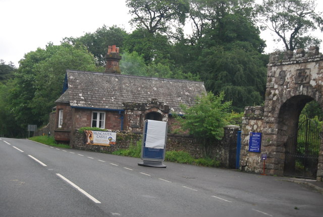
Muncaster Castle
Muncaster Castle is a privately owned castle overlooking the River Esk, about a mile east of the west-coastal town of Ravenglass in Cumbria, England. It...

Muncaster Mill railway station
Muncaster Mill railway station is a railway station on the 15 in (381 mm) gauge Ravenglass & Eskdale Railway in Cumbria, England. The station is located...

Miteside Halt railway station
Miteside Halt railway station is a railway station on the 15" gauge Ravenglass & Eskdale Railway in Cumbria, England. It is located where public footpath...

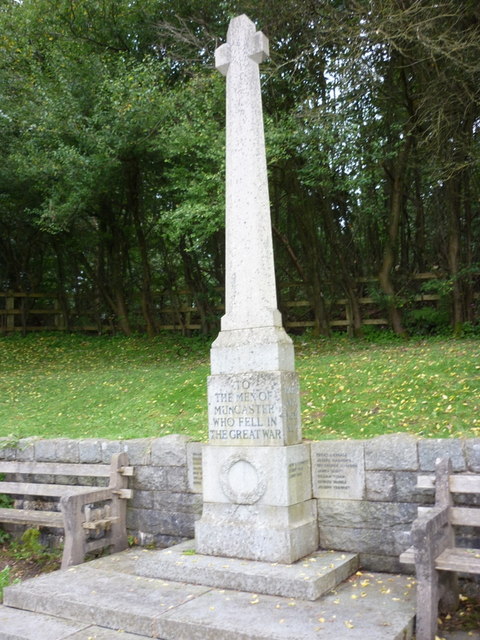
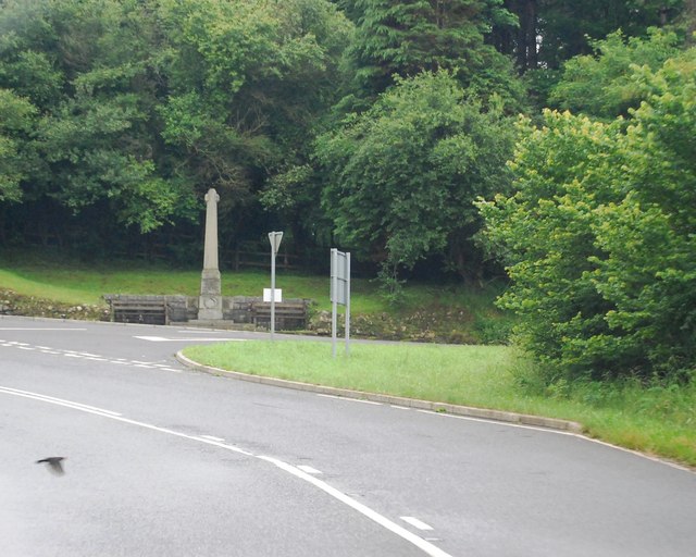
Muncaster War Memorial
Muncaster War Memorial is a First World War memorial in the parish of Muncaster on the west coast of Cumbria in the far north-west of England. The memorial...

St John's Church, Waberthwaite
St John's Church is situated on the south bank of the River Esk in the hamlet of Hall Waberthwaite in the former civil parish of Waberthwaite (now part...

Muncaster Fell
Muncaster Fell is a fell at the far western edge of the Lake District National Park, in Cumbria, England. Muncaster Fell is a long, narrow ridge of land...
Nearby Amenities
Located within 500m of 54.357924,-3.3762804Have you been to Hirst Park?
Leave your review of Hirst Park below (or comments, questions and feedback).