Banna Fell

Downs, Moorland in Cumberland Copeland

England

Banna Fell

A first glimpse of Ennerdale Water From Cauda Brow.
A first glimpse of Ennerdale Water Credit: David Medcalf

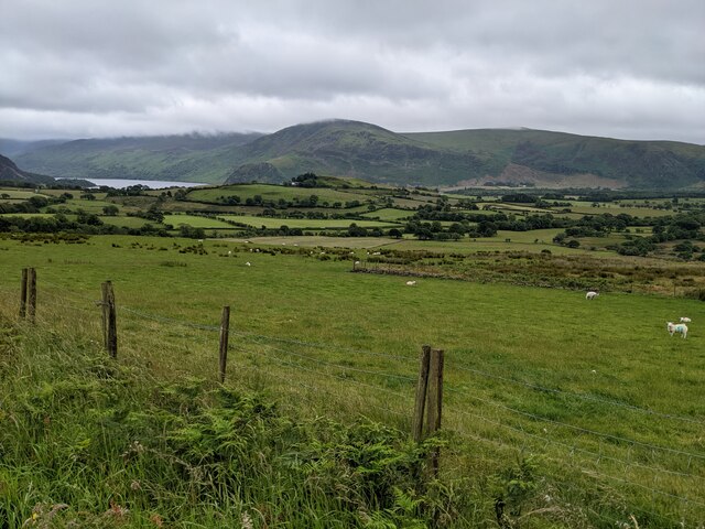
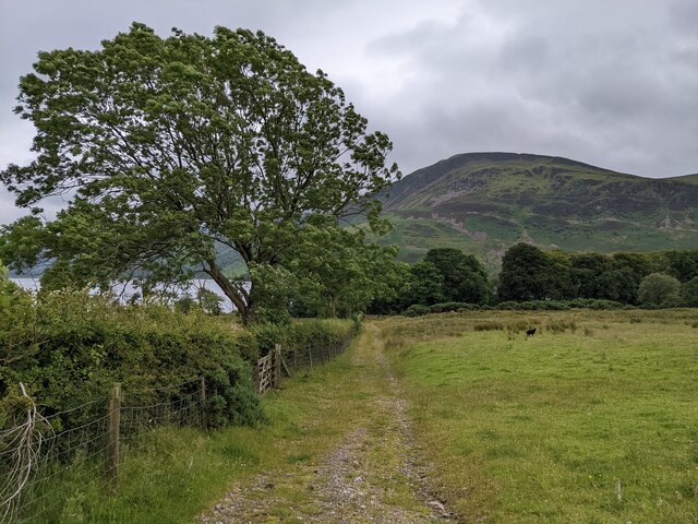
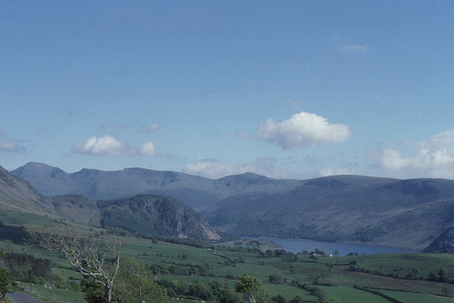
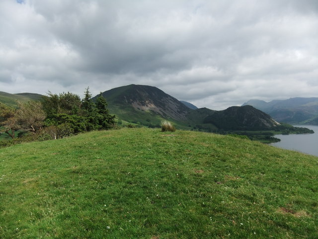
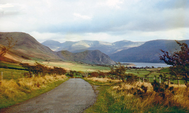
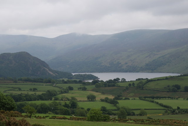
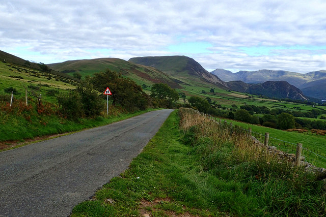
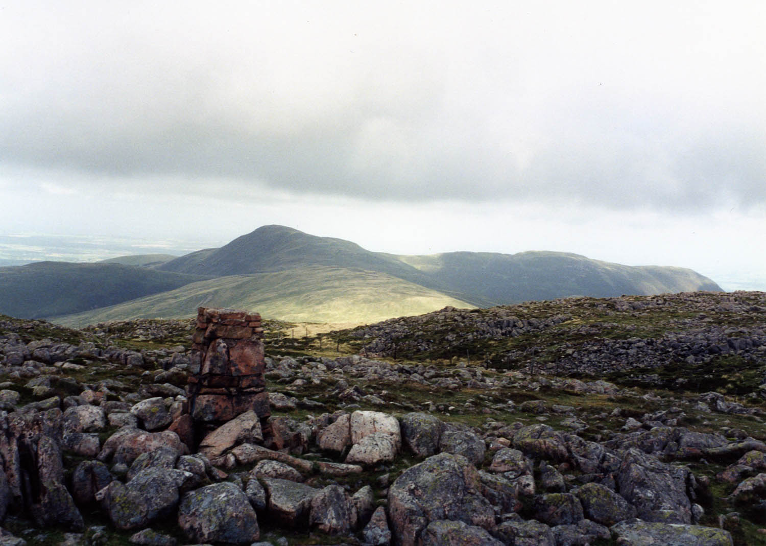
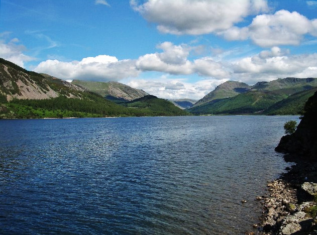
Banna Fell is a prominent hill located in the county of Cumberland, in the northwest region of England. It is part of the Pennines, a range of mountains and hills that stretches across northern England. Standing at an elevation of approximately 553 meters (1,814 feet), Banna Fell offers breathtaking views of the surrounding countryside and is a popular destination for hikers and nature enthusiasts.

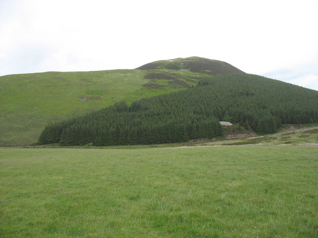
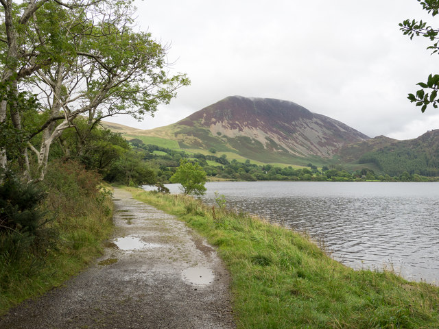
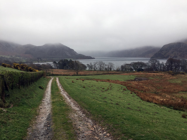
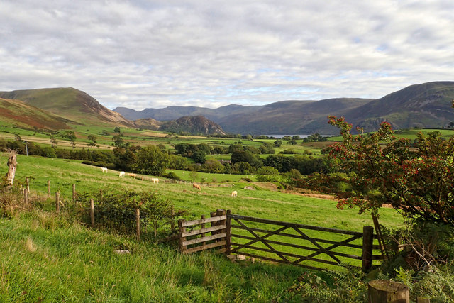
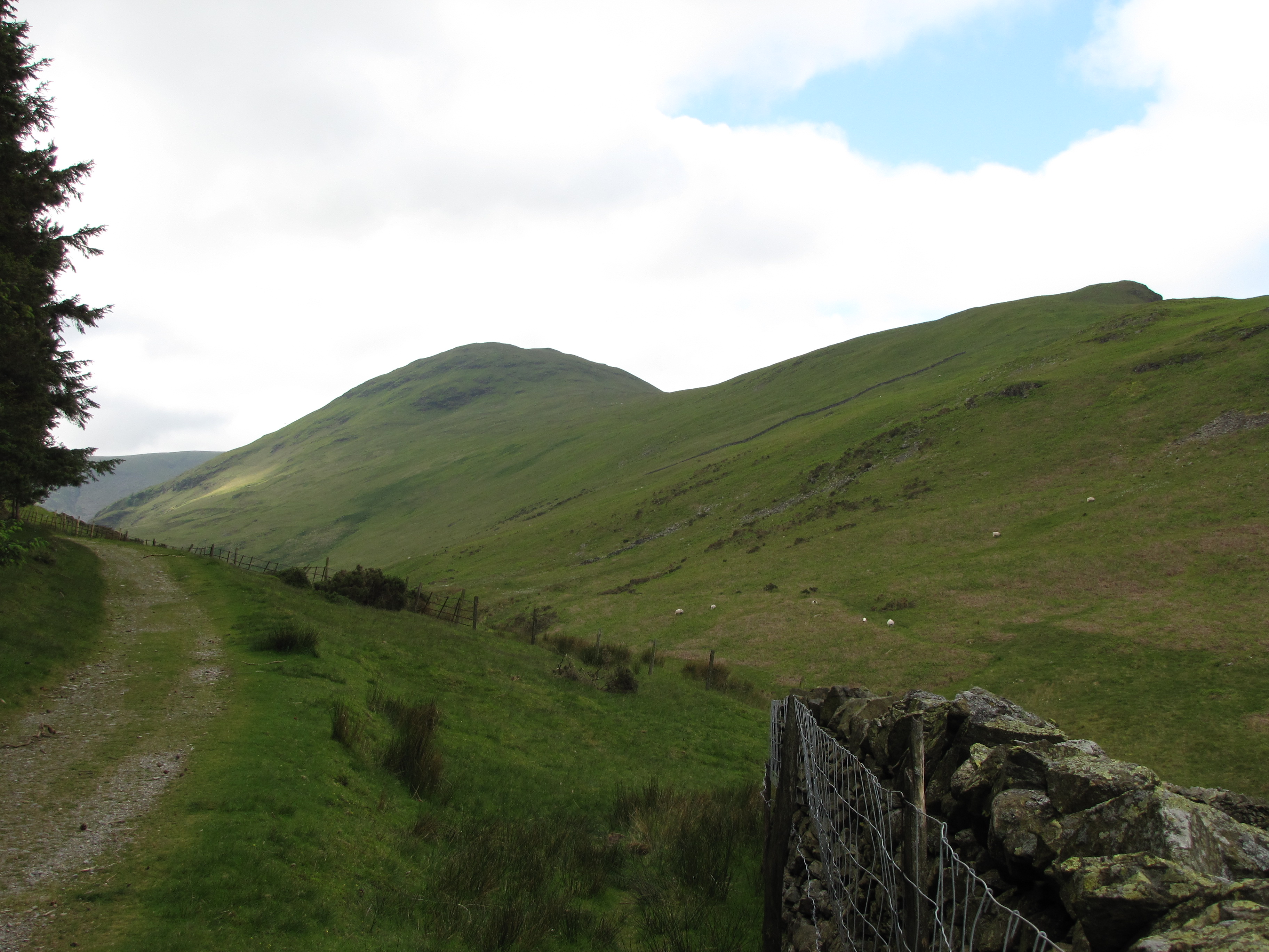
Covered in lush greenery and heather, Banna Fell boasts a diverse range of flora and fauna. The hill is home to several species of birds, including peregrine falcons, buzzards, and grouse, making it a haven for birdwatchers. Additionally, the area is dotted with streams and small waterfalls, adding to its natural beauty.

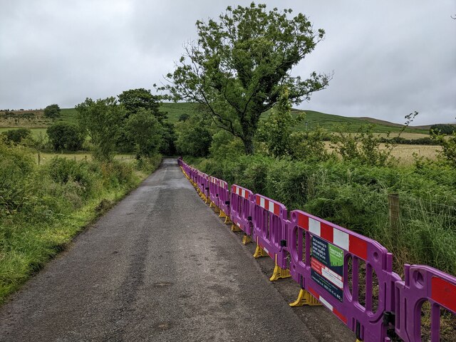
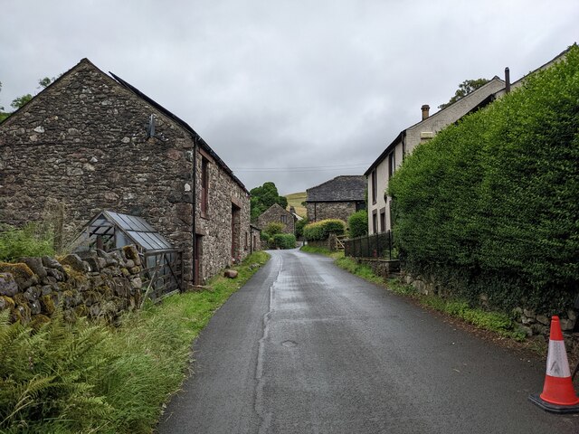
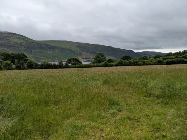
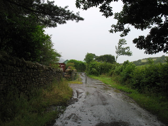
Access to Banna Fell is mainly through public footpaths and bridleways, allowing visitors to explore the hill at their own pace. The terrain is mostly rocky and uneven, requiring a moderate level of fitness and suitable footwear for those venturing to the summit. On clear days, the views from the top extend for miles, offering glimpses of nearby towns and villages, as well as the surrounding moorland and downs.

Due to its remote location, Banna Fell provides a tranquil retreat for those seeking solitude and a chance to immerse themselves in nature. The hill is often visited by walkers and mountain bikers, who enjoy the challenge of its varied terrain. Banna Fell truly showcases the natural beauty of Cumberland and provides a memorable experience for all who venture to its summit.

If you have any feedback on the listing, please let us know in the comments section below.
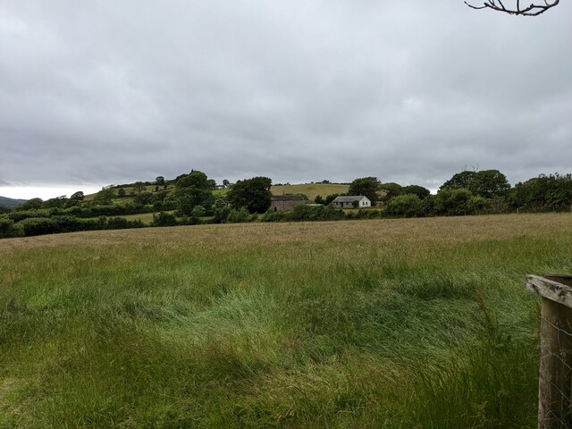
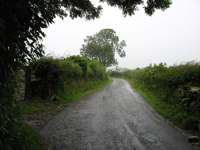
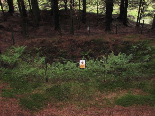
Banna Fell Images

Images are sourced within 2km of 54.544318/-3.3789465 or Grid Reference NY1017. Thanks to Geograph Open Source API. All images are credited.

A first glimpse of Ennerdale Water From Cauda Brow.
A first glimpse of Ennerdale Water
From Cauda Brow.
A colourful addition to the lane above Croasdale A new electricity cable is being laid.
A colourful addition to the lane above Croasdale
A new electricity cable is being laid.
A bridleway leading to Ennerdale Water
Buildings in Croasdale
Looking towards Croftfoot
A field near Ennerdale Water
Murton Fell from Kelton Fell
Farm track at Whins On some maps this is shown as a public road. But it is signed 'Unsuitable for motor vehicles', and I would certainly not have risked my own car along here! Bridleway, for horses and walkers, fine - but I suspect that otherwise you would need a 4x4 to get along here. (This track emerges one square to the west, at NY088166.)
Farm track at Whins
On some maps this is shown as a public road. But it is signed 'Unsuitable for motor vehicles', and I would certainly not have risked my own car along here! Bridleway, for horses and walkers, fine - but I suspect that otherwise you would need a 4x4 to get along here. (This track emerges one square to the west, at NY088166.)
The lane from Croasdale Heading for Ennerdale Bridge.
The lane from Croasdale
Heading for Ennerdale Bridge.
View up Ennerdale from Cauda Brow
Howside Hill
Howside Hill
SE to Ennerdale Lake, Ennerdale Fell and mountains beyond, 1966 View from slopes of Kelton Fell above Crossdale: to left is Great Borne (2,019 ft.); in distance, Pillar (2,927 ft.) and Steeple (2,687 ft.).
SE to Ennerdale Lake, Ennerdale Fell and mountains beyond, 1966
View from slopes of Kelton Fell above Crossdale: to left is Great Borne (2,019 ft.); in distance, Pillar (2,927 ft.) and Steeple (2,687 ft.).
Knockmurton No.1 Pit Old & deep mine shaft in the woods at Knockmurton. No.1 Pit would have had headgear and dressing floors as well as a mine office and a direct link to the mineral railway that took the ore down to the processing plants at Workington. 
The ore deposits were mostly in flats, and varied in thickness from a few feet to 40 fathoms although it often contained irregular but near vertical joints within the Haematite.
Knockmurton No.1 Pit
Old & deep mine shaft in the woods at Knockmurton. No.1 Pit would have had headgear and dressing floors as well as a mine office and a direct link to the mineral railway that took the ore down to the processing plants at Workington. The ore deposits were mostly in flats, and varied in thickness from a few feet to 40 fathoms although it often contained irregular but near vertical joints within the Haematite.
Bridleway on north side of Ennerdale Water The view along the northern side of the northern bay of Ennerdale Water with Herdus,  the western shoulder of Great Borne, being the prominent mountain.
Bridleway on north side of Ennerdale Water
The view along the northern side of the northern bay of Ennerdale Water with Herdus, the western shoulder of Great Borne, being the prominent mountain.
Track below How Haw Farm A public footpath to the north shore of Ennerdale Water.
Track below How Haw Farm
A public footpath to the north shore of Ennerdale Water.
Ennerdale Water lying to the south Who can deny the beauty of the English Lakes? Who can explain the dearth of bird life?
Ennerdale Water lying to the south
Who can deny the beauty of the English Lakes? Who can explain the dearth of bird life?
The Girt Dog of Ennerdale Today there are many graphic images of farm animals having been mauled by out of controlled dogs. This is not just a modern phenomenon. On 12th September 1810, a dog was shot near Rowrah at the bottom end of Ennerdale. It had been on the rampage all that summer eluding many hunts and attempts to kill it. The dog ranged from Ennerdale and Wasdale to Cockermouth to Seascale on the coast. The whole of the western Lake District was terrified. Crops went un-harvested, folks were too scared to send their children to school and cows were not milked. Frequently several sheep were killed in one night and it was sighted taking down a fully grown ram. It was said to be a smooth-haired dog, “tawny mouse” coloured with darker streaks rather “like a tiger”. Of no doubt, it was huge, as cunning as a fox and with acute sight and hearing. It was never heard barking or howling. A brewery owner offered a reward of £10 and free ale to whoever killed it.

After the dog was shot on that autumn day in Rowrah it was carried in triumph to the inn at Ennerdale Bridge where celebrations began which lasted all night. The carcass was weighed at an enormous 8 stones and was eventually sent to Keswick museum to be stuffed and put on display. It was exhibited there as the Girt Dog of Ennerdale.

It has been speculated that the dog was actually a Tasmanian Tiger or thylacine, probably an escapee from a travelling circus which were known to keep such creatures in their menageries. Tasmanian Tigers are now extinct, the last being shot on the island in the 1930s. By the 1950s the Girt Dog of Ennerdale was apparently showing its age for after a few complaints it was removed from the exhibition. No one knows what happened to it after that; which is a pity because modern DNA analysis could have solved the mystery once and for all.

From my blog <span class="nowrap"><a title="http://www.fhithich.uk/?p=20167" rel="nofollow ugc noopener" href="http://www.fhithich.uk/?p=20167">Link</a><img style="margin-left:2px;" alt="External link" title="External link - shift click to open in new window" src="https://s1.geograph.org.uk/img/external.png" width="10" height="10"/></span>
The Girt Dog of Ennerdale
Today there are many graphic images of farm animals having been mauled by out of controlled dogs. This is not just a modern phenomenon. On 12th September 1810, a dog was shot near Rowrah at the bottom end of Ennerdale. It had been on the rampage all that summer eluding many hunts and attempts to kill it. The dog ranged from Ennerdale and Wasdale to Cockermouth to Seascale on the coast. The whole of the western Lake District was terrified. Crops went un-harvested, folks were too scared to send their children to school and cows were not milked. Frequently several sheep were killed in one night and it was sighted taking down a fully grown ram. It was said to be a smooth-haired dog, “tawny mouse” coloured with darker streaks rather “like a tiger”. Of no doubt, it was huge, as cunning as a fox and with acute sight and hearing. It was never heard barking or howling. A brewery owner offered a reward of £10 and free ale to whoever killed it. After the dog was shot on that autumn day in Rowrah it was carried in triumph to the inn at Ennerdale Bridge where celebrations began which lasted all night. The carcass was weighed at an enormous 8 stones and was eventually sent to Keswick museum to be stuffed and put on display. It was exhibited there as the Girt Dog of Ennerdale. It has been speculated that the dog was actually a Tasmanian Tiger or thylacine, probably an escapee from a travelling circus which were known to keep such creatures in their menageries. Tasmanian Tigers are now extinct, the last being shot on the island in the 1930s. By the 1950s the Girt Dog of Ennerdale was apparently showing its age for after a few complaints it was removed from the exhibition. No one knows what happened to it after that; which is a pity because modern DNA analysis could have solved the mystery once and for all. From my blog LinkExternal link
Cauda Brow
Cauda Brow
Show me another place!

Banna Fell is located at Grid Ref: NY1017 (Lat: 54.544318, Lng: -3.3789465)

Administrative County: Cumbria

District: Copeland

Police Authority: Cumbria

What 3 Words

///pipe.majority.birthing. Near Frizington, Cumbria

Nearby Locations

Banna Fell

Related Wikis

Nearby Amenities

Located within 500m of 54.544318,-3.3789465
Banna Fell
Place: locality
Lat/Long: 54.5458986/-3.3799507
Ele: 411
Natural: peak
Lat/Long: 54.5443862/-3.3794179
The data included in this document is from www.openstreetmap.org. The data is made available under ODbL.

Have you been to Banna Fell?

Leave your review of Banna Fell below (or comments, questions and feedback).