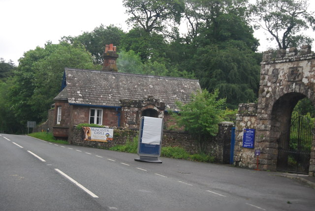
Muncaster Castle
Heritage Site in Cumberland Copeland
England
Muncaster Castle

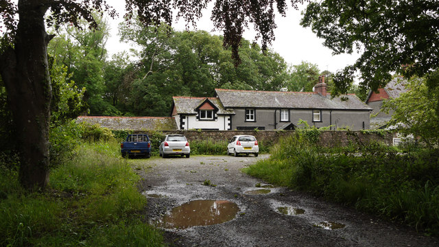
Muncaster Castle, located in Cumberland, England, is a historic fortress that stands majestically amidst the scenic beauty of the Lake District National Park. Dating back to the 13th century, the castle has witnessed centuries of history and has become a significant heritage site.
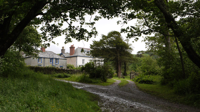
The castle is built on a strategic location, providing breathtaking views of the surrounding mountains and valleys. It features a mix of architectural styles, with its oldest parts displaying medieval characteristics, while other sections reflect the influence of Tudor and Victorian eras. The castle has undergone various renovations and expansions over the years, resulting in a unique blend of architectural elements.
Inside, visitors can explore the castle's grand rooms, including the Drawing Room, Library, and Tapestry Room, which are adorned with exquisite paintings, antique furniture, and intricate tapestries. One of the highlights is the Great Hall, a splendid space with a high oak-beamed ceiling and a large fireplace.
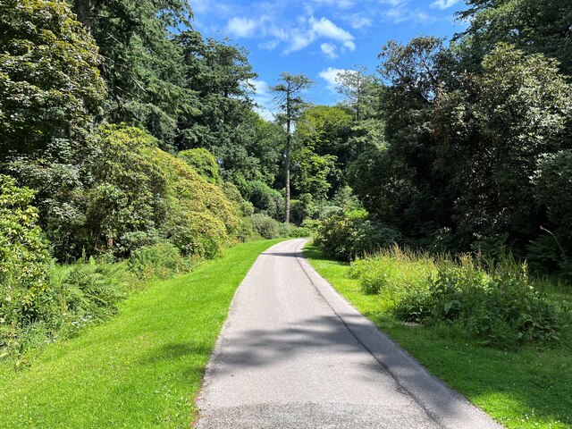
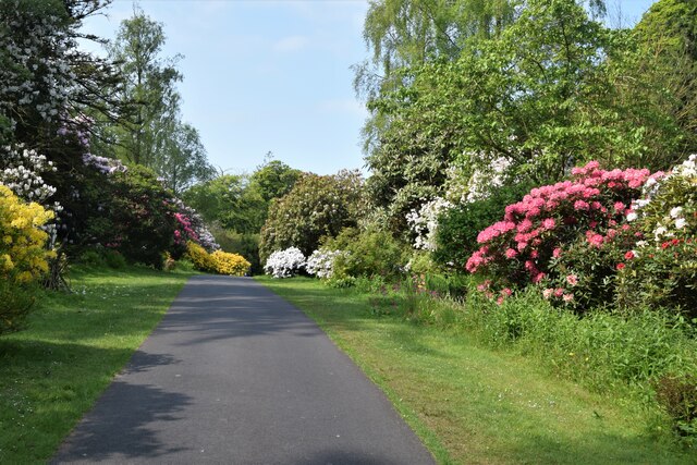
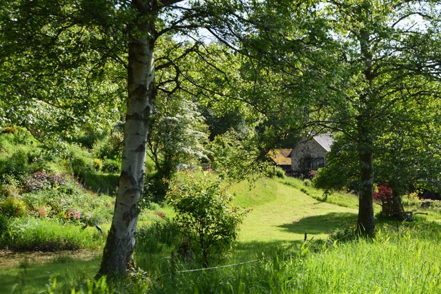
The castle's gardens are equally enchanting, with beautifully manicured lawns, vibrant floral displays, and peaceful woodland areas. The grounds also encompass a Hawk and Owl Centre, where visitors can witness captivating falconry displays and get up close with these magnificent birds of prey.
Muncaster Castle is also renowned for its ghostly tales and paranormal activity. It is believed to be haunted by several spirits, including the infamous "Tom Fool," a jester who allegedly cursed the castle. The castle offers eerie ghost tours and hosts an annual Halloween event, attracting thrill-seekers and history enthusiasts alike.
In addition to its historical and supernatural allure, the castle hosts various events and activities throughout the year, such as garden festivals, vintage car rallies, and outdoor theater performances, making it a popular destination for tourists and locals alike.
If you have any feedback on the listing, please let us know in the comments section below.
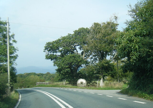
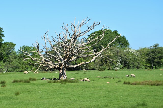
Muncaster Castle Images
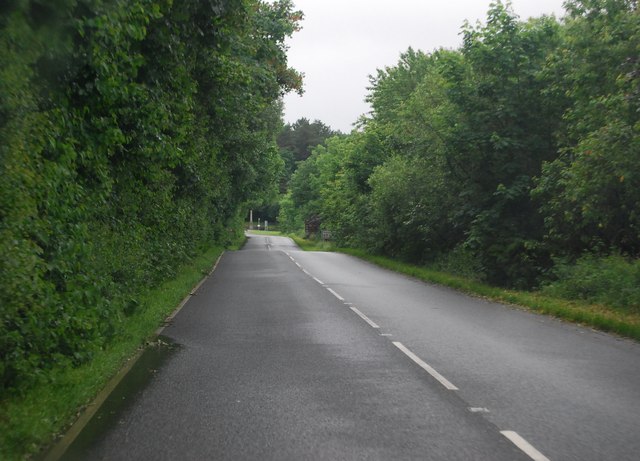
Images are sourced within 2km of 54.357/-3.377 or Grid Reference SD1096. Thanks to Geograph Open Source API. All images are credited.

Muncaster Castle is located at Grid Ref: SD1096 (Lat: 54.357, Lng: -3.377)
Administrative County: Cumbria
District: Copeland
Police Authority: Cumbria
What 3 Words
///clinked.called.clenching. Near Seascale, Cumbria
Nearby Locations
Related Wikis

St Michael's Church, Muncaster
St Michael's Church is in the grounds of Muncaster Castle, near Ravenglass, Cumbria, England. It is an active Anglican parish church in the deanery of...

Muncaster
Muncaster is a civil parish in Cumbria, North West England. The parish is 41 miles (66 km) south west of the city of Carlisle, in the Copeland district...

Muncaster Castle
Muncaster Castle is a privately owned castle overlooking the River Esk, about a mile east of the west-coastal town of Ravenglass in Cumbria, England. It...

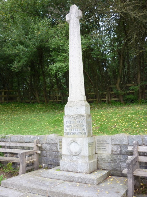
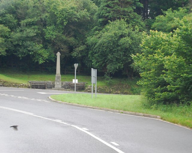
Muncaster War Memorial
Muncaster War Memorial is a First World War memorial in the parish of Muncaster on the west coast of Cumbria in the far north-west of England. The memorial...

Muncaster Mill railway station
Muncaster Mill railway station is a railway station on the 15 in (381 mm) gauge Ravenglass & Eskdale Railway in Cumbria, England. The station is located...

St John's Church, Waberthwaite
St John's Church is situated on the south bank of the River Esk in the hamlet of Hall Waberthwaite in the former civil parish of Waberthwaite (now part...

Miteside Halt railway station
Miteside Halt railway station is a railway station on the 15" gauge Ravenglass & Eskdale Railway in Cumbria, England. It is located where public footpath...
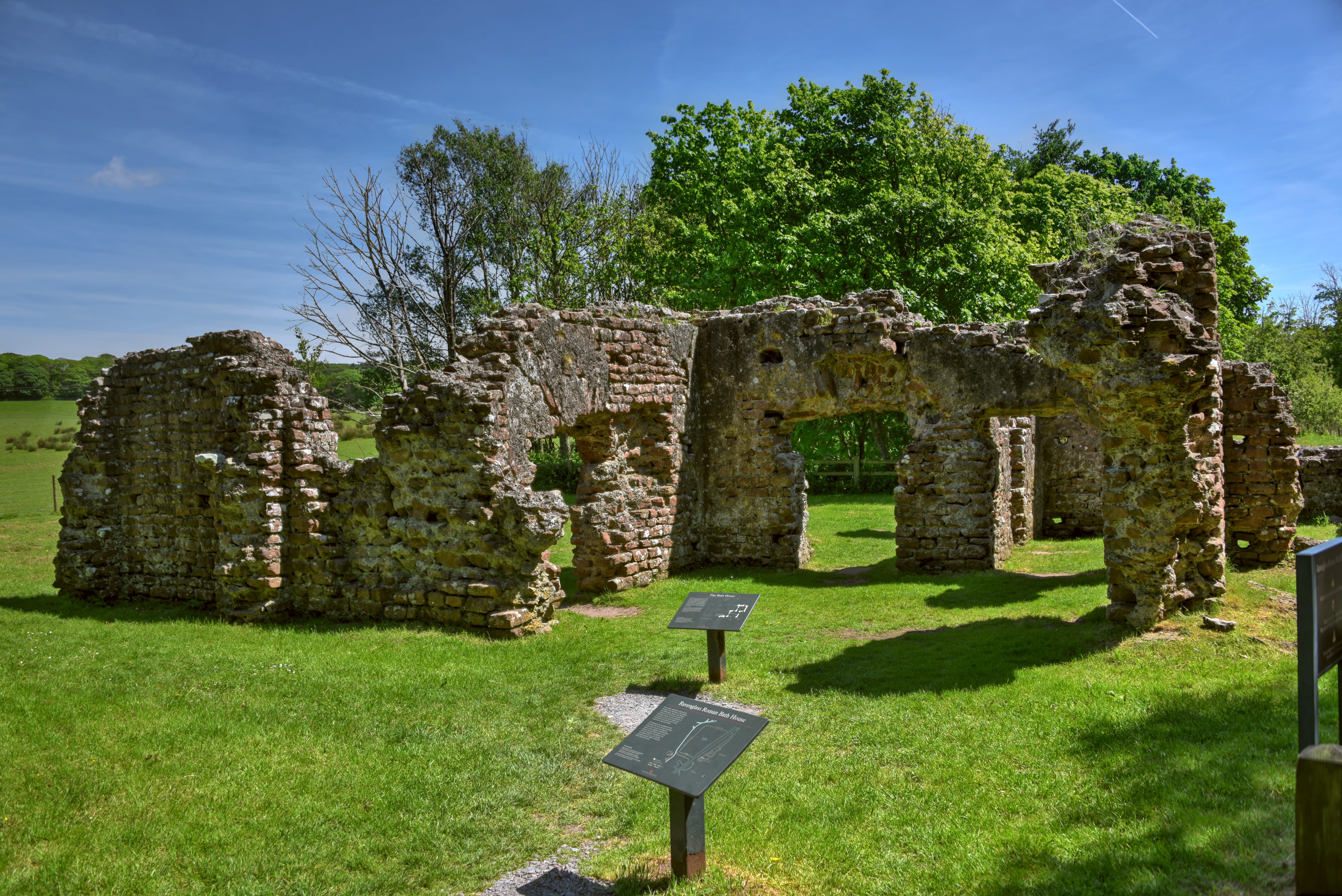
Ravenglass Roman Bath House
Ravenglass Roman Bath House (also known as Walls Castle) is a ruined ancient Roman bath house at Ravenglass, Cumbria, England. Belonging to a 2nd-century...
Nearby Amenities
Located within 500m of 54.357,-3.377Have you been to Muncaster Castle?
Leave your review of Muncaster Castle below (or comments, questions and feedback).