Southmoor Copse
Wood, Forest in Devon Mid Devon
England
Southmoor Copse
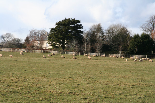
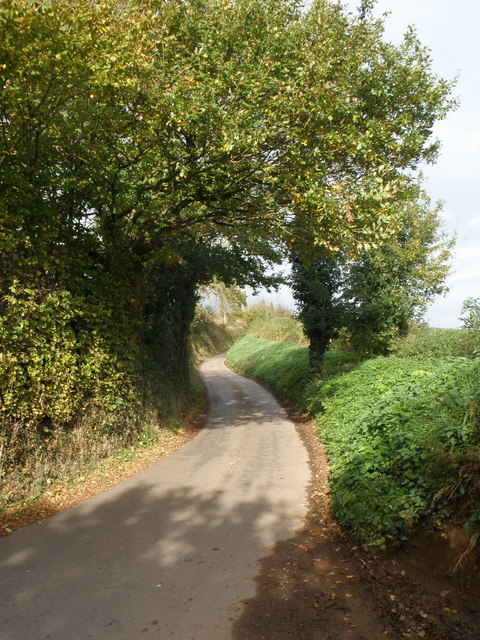
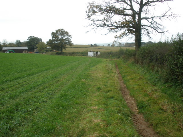
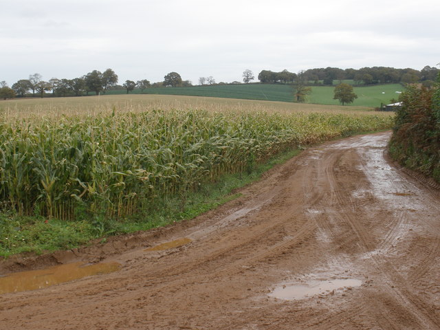
Southmoor Copse is a picturesque woodland located in the county of Devon, England. Situated in the heart of the South Hams district, this enchanting forest covers an area of approximately 50 acres and is a haven for nature enthusiasts and outdoor lovers alike.
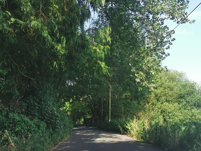
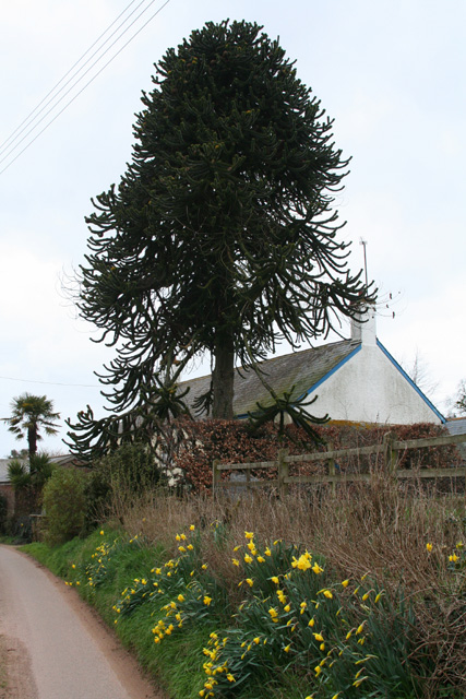
The copse is predominantly composed of native broadleaf trees such as oak, beech, and ash, which create a dense canopy overhead, filtering the sunlight and casting a dappled effect on the forest floor below. The undergrowth is filled with a rich tapestry of plants, including bluebells, primroses, and ferns, adding to the copse's natural charm.
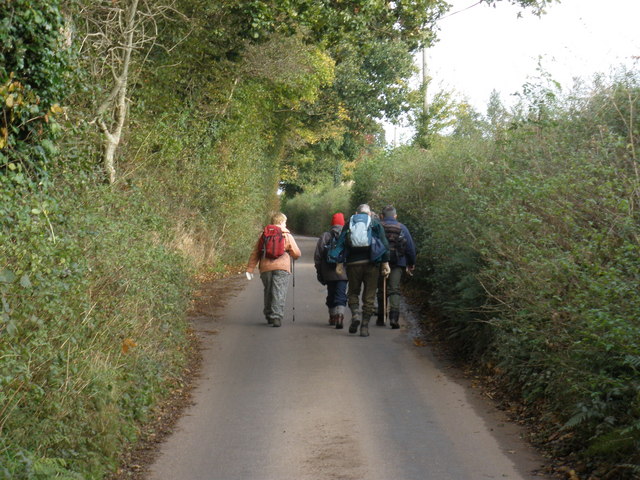
Tranquility abounds within Southmoor Copse, as the sound of birdsong fills the air and the occasional rustle of small animals scurrying through the underbrush can be heard. The copse is home to a diverse range of wildlife, including deer, badgers, and a variety of bird species, making it a popular spot for birdwatching and wildlife photography.
Several footpaths wind their way through the copse, inviting visitors to explore its beauty at their own pace. These well-maintained trails provide a peaceful escape from the hustle and bustle of everyday life, allowing visitors to immerse themselves in the natural surroundings.
Southmoor Copse is a designated Site of Special Scientific Interest (SSSI), recognized for its ecological importance and rare species of flora and fauna. As such, visitors are encouraged to respect the copse and its inhabitants by adhering to the guidelines set out by the local authorities.
Overall, Southmoor Copse in Devon is a truly remarkable woodland, providing a serene and idyllic retreat for those seeking solace in the beauty of nature.
If you have any feedback on the listing, please let us know in the comments section below.
Southmoor Copse Images
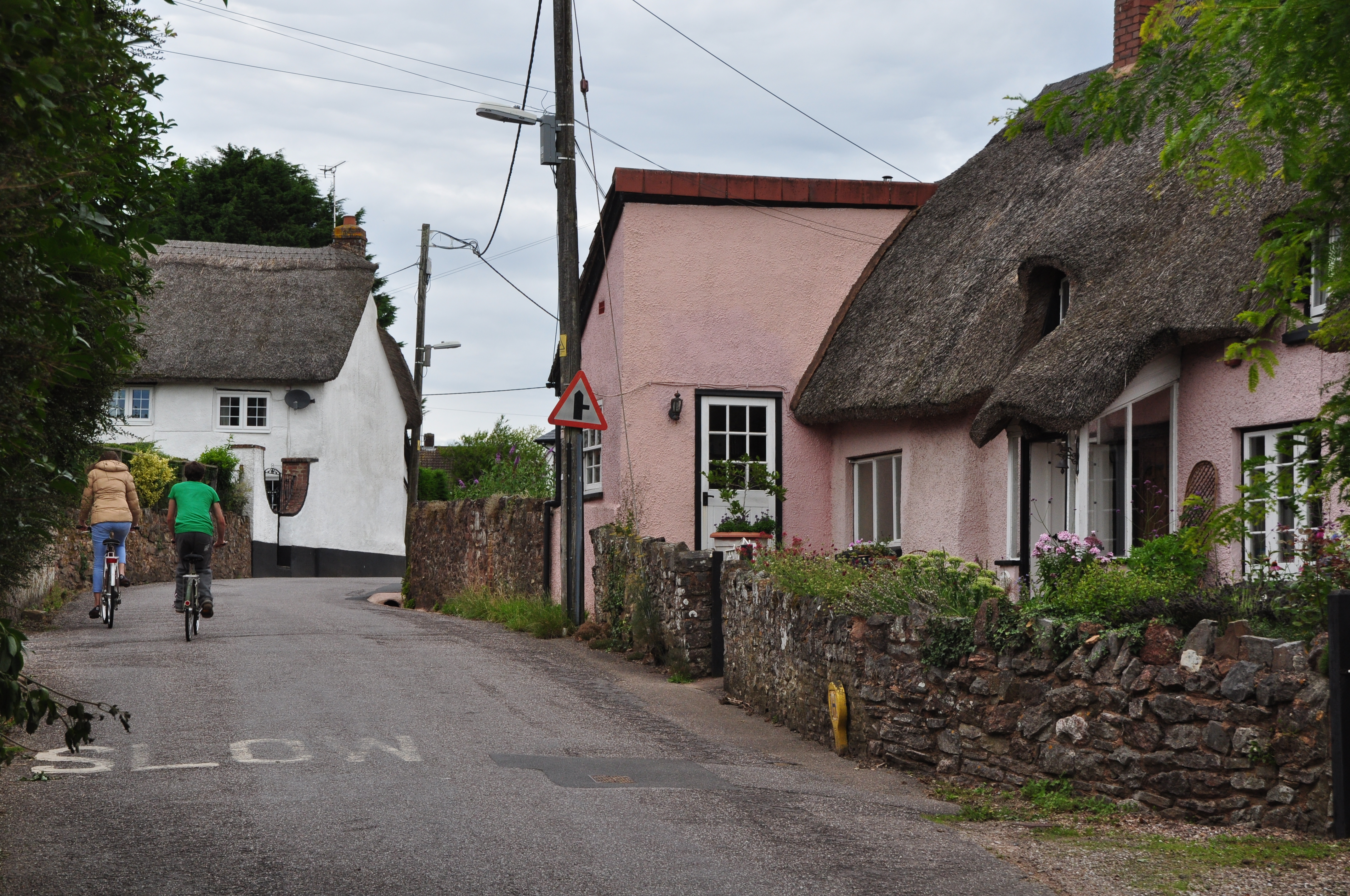
Images are sourced within 2km of 50.880966/-3.338205 or Grid Reference ST0509. Thanks to Geograph Open Source API. All images are credited.


Southmoor Copse is located at Grid Ref: ST0509 (Lat: 50.880966, Lng: -3.338205)
Administrative County: Devon
District: Mid Devon
Police Authority: Devon and Cornwall
What 3 Words
///punters.duplicate.scorch. Near Willand, Devon
Nearby Locations
Related Wikis
Bradfield House
Bradfield House is a Grade I listed country house situated in the parish of Uffculme, Devon, England, 2 miles (3.2 km) south-west of the village of Uffculme...

Kentisbeare
Kentisbeare is a village and civil parish in the Mid Devon district of Devon, England. Its nearest town is Cullompton. == Descent of the manor == In the...
Willand
Willand is a village and civil parish in Mid Devon, England. It is about 19 km (12 mi) north of Exeter and 2.4 km (1.5 mi) north of Cullompton. In 1991...

Coldharbour Halt railway station
Coldharbour Halt railway station was a small station from 1929 to 1963 on the Culm Valley Light Railway. == History == The station was opened on 23 February...
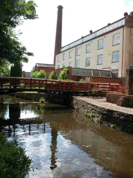
Coldharbour Mill Working Wool Museum
Coldharbour Mill, near the village of Uffculme in Devon, England, is one of the oldest woollen textile mills in the world, having been in continuous production...

Willand Rovers F.C.
Willand Rovers Football Club is a football club based in Willand, near Exeter, in Devon. They are currently members of the Southern League Division One...

Ashill, Devon
Ashill is a village located in the parish of Uffculme, in the English county of Devon. It has a small church, a community village hall and small public...
Uffculme railway station
Uffculme railway station was the station closest to the centre of the Culm Valley Light Railway in Devon and as such contained the passing loop. The line...
Nearby Amenities
Located within 500m of 50.880966,-3.338205Have you been to Southmoor Copse?
Leave your review of Southmoor Copse below (or comments, questions and feedback).