Bolley Wood
Wood, Forest in Cumberland Allerdale
England
Bolley Wood
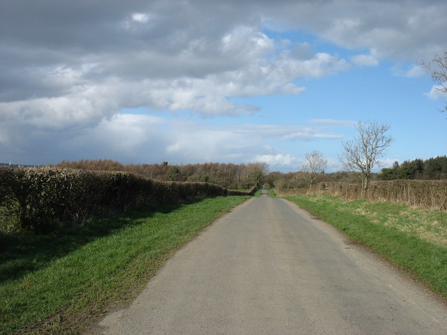
Bolley Wood, Cumberland, also known as Bolley Forest, is a picturesque woodland located in the county of Cumberland, England. Covering an area of approximately 200 acres, it is a popular destination for nature lovers, hikers, and wildlife enthusiasts.
The woodland is characterized by its dense canopy of trees, primarily consisting of native species such as oak, beech, and birch. The forest floor is adorned with an array of vibrant wildflowers, adding to the natural beauty of the area. Bolley Wood is particularly known for its bluebells that carpet the forest floor during spring, creating a stunning display of color.
The woodland is crisscrossed with a network of well-maintained trails, providing visitors with various options for exploration. These trails cater to different levels of difficulty, making it accessible to both casual walkers and more experienced hikers. As visitors traverse the paths, they are treated to breathtaking views of the surrounding countryside and may encounter various wildlife species, including deer, rabbits, and a multitude of bird species.
Bolley Wood also has a rich history, dating back several centuries. It is believed to have been part of the ancient hunting grounds of local nobility, with remnants of old hunting lodges and gamekeeper houses still visible in certain areas of the forest.
Today, Bolley Wood is managed by a local conservation organization, ensuring the preservation of its natural beauty and biodiversity. It is a cherished natural asset of Cumberland, offering a tranquil escape from the hustle and bustle of everyday life and providing a haven for both wildlife and visitors alike.
If you have any feedback on the listing, please let us know in the comments section below.
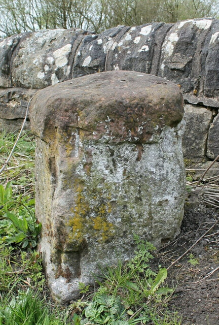
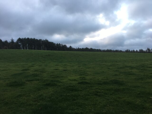
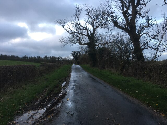
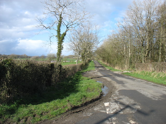
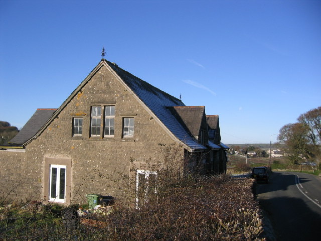
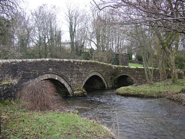
Bolley Wood Images
Images are sourced within 2km of 54.644019/-3.4579294 or Grid Reference NY0628. Thanks to Geograph Open Source API. All images are credited.


Bolley Wood is located at Grid Ref: NY0628 (Lat: 54.644019, Lng: -3.4579294)
Administrative County: Cumbria
District: Allerdale
Police Authority: Cumbria
What 3 Words
///nerve.tables.scarecrow. Near Workington, Cumbria
Nearby Locations
Related Wikis

Little Clifton
Little Clifton is a village and civil parish in the district of Allerdale located on the edge of the Lake District in the county of Cumbria, England. In...
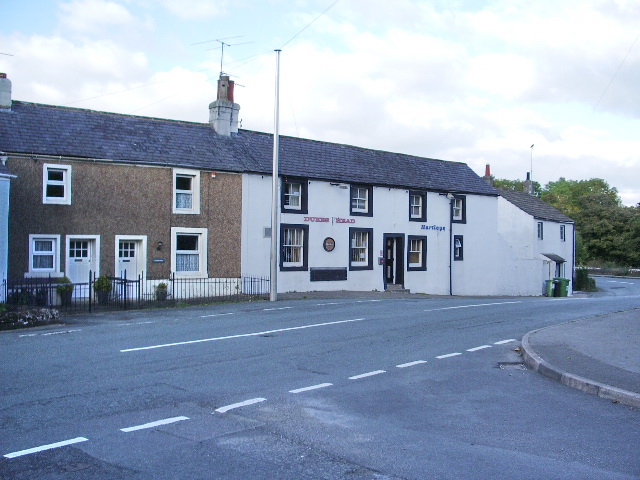
Bridgefoot
Bridgefoot is a village in Cumbria, historically part of Cumberland, near the Lake District National Park in England. It is situated at the confluence...
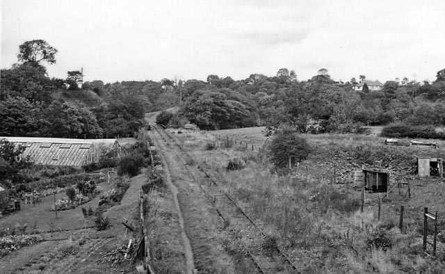
Bridgefoot railway station
Bridgefoot railway station was built by the Whitehaven, Cleator and Egremont Railway. It served the village of Bridgefoot, Cumbria, England. == History... ==
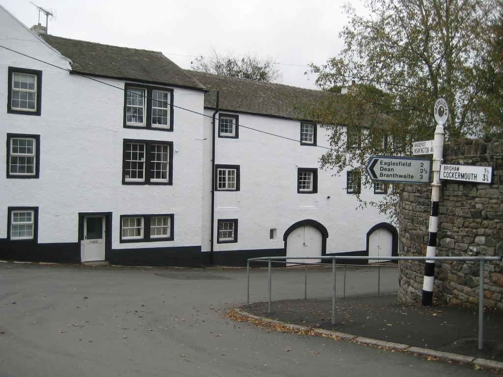
Greysouthen
Greysouthen ( GRAY-soon) is a village and civil parish between the towns of Workington and Cockermouth, in Cumbria, North West England, historically part...

Cumberland Coalfield
The Cumberland Coalfield is a coalfield in Cumbria, north-west England. It extends from Whitehaven in the south to Maryport and Aspatria in the north....

Marron Junction railway station
Marron Junction railway station was a later addition to the Cockermouth and Workington Railway. It opened on 2 April 1866 with a single, eastbound, platform...
Great Clifton
Great Clifton is a village and civil parish in the Borough of Allerdale in the English county of Cumbria. In the 2001 census, it has a population of 1...
River Marron
The River Marron is a river of Cumbria, England. Rising near the village of Asby, Copeland at the confluence of Colliergate Beck and Scallow Beck, the...
Nearby Amenities
Located within 500m of 54.644019,-3.4579294Have you been to Bolley Wood?
Leave your review of Bolley Wood below (or comments, questions and feedback).