Bradfield House
Heritage Site in Devon Mid Devon
England
Bradfield House
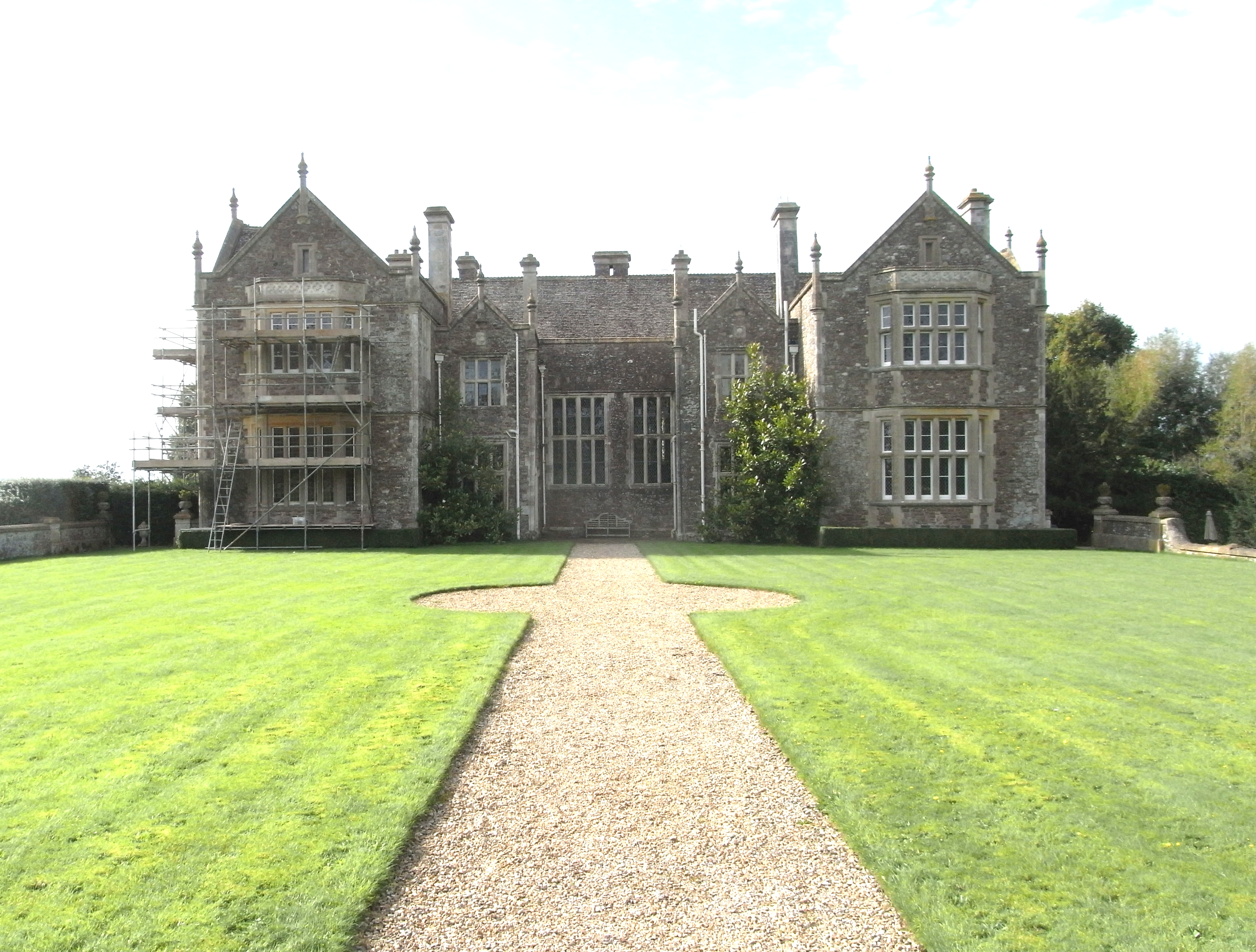
Bradfield House, located in Devon, is a renowned heritage site that exudes historical significance and architectural grandeur. Dating back to the 16th century, this magnificent manor house stands proudly amidst lush greenery and picturesque landscapes, attracting visitors from all over the world.
The house itself is a fine example of Elizabethan architecture, with its distinctive features such as ornate gables, mullioned windows, and a grand entrance porch. The structure has undergone several renovations and additions over the centuries, but has managed to retain its original charm and character.
Inside, Bradfield House boasts opulent interiors, adorned with intricate plasterwork, elegant wood paneling, and exquisite period furniture. The rooms are adorned with stunning tapestries and paintings, showcasing the wealth and taste of its former owners. Visitors can explore the various chambers, including the grand drawing room, the library, and the dining hall, each offering a glimpse into the lavish lifestyle of the house's past inhabitants.
Surrounding the house is a meticulously maintained garden, featuring manicured lawns, vibrant flowerbeds, and serene water features. The garden also includes a charming rose garden, a walled vegetable garden, and a tranquil orchard, all of which add to the beauty and tranquility of the estate.
Bradfield House is not only a visual delight but also holds significant historical importance. It has been home to several notable families throughout its history, and has witnessed important events that have shaped the region. Its heritage status ensures that it remains a treasured landmark, welcoming visitors to step back in time and experience the splendor of a bygone era.
If you have any feedback on the listing, please let us know in the comments section below.
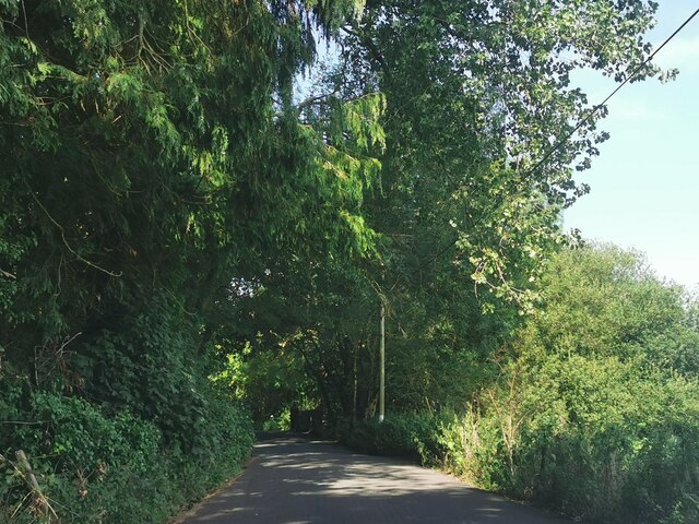
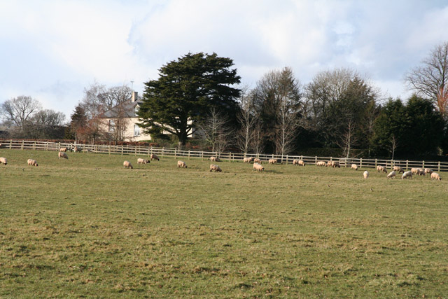
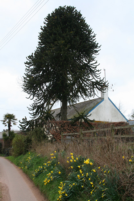
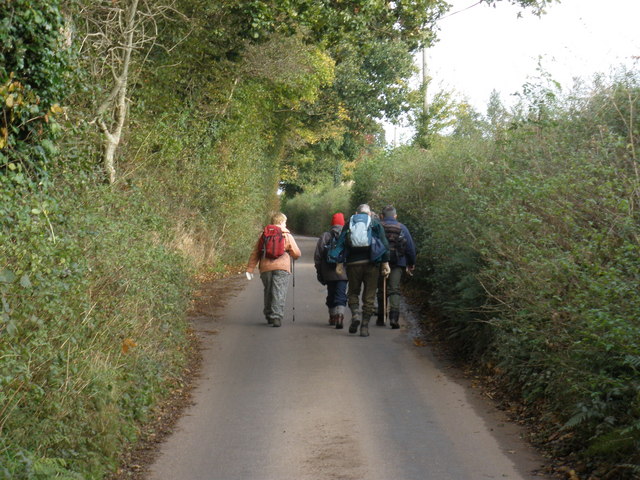
Bradfield House Images
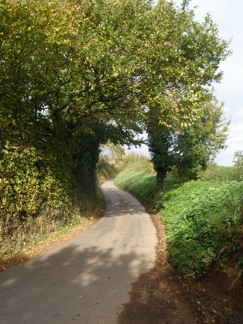
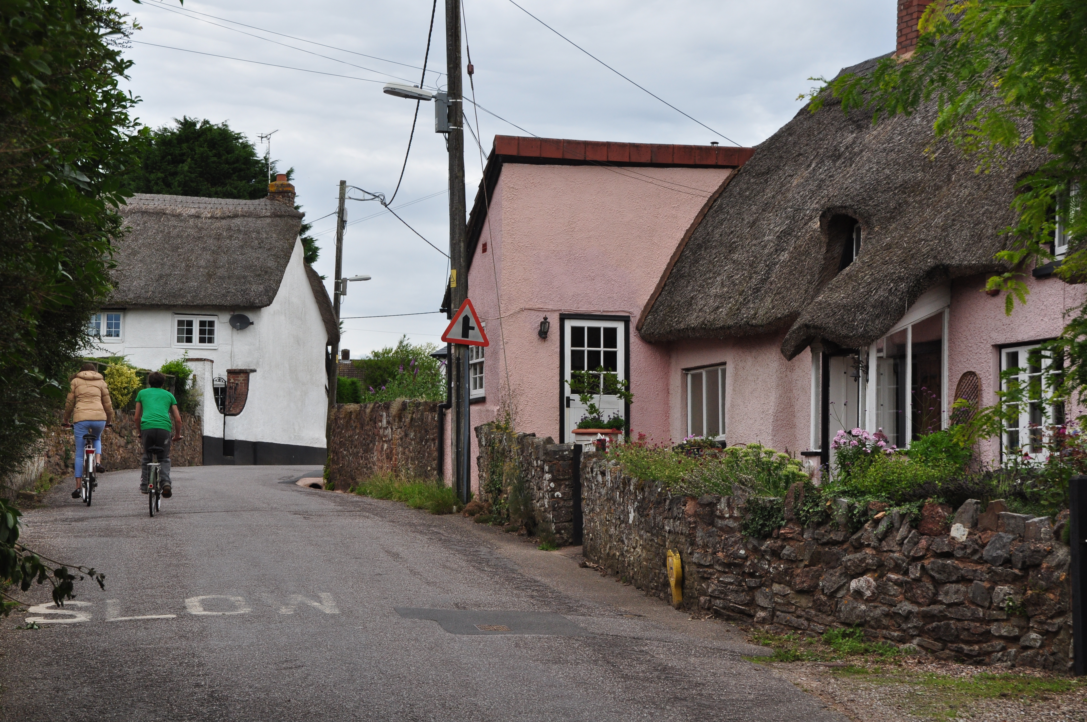
Images are sourced within 2km of 50.877/-3.343 or Grid Reference ST0509. Thanks to Geograph Open Source API. All images are credited.


Bradfield House is located at Grid Ref: ST0509 (Lat: 50.877, Lng: -3.343)
Administrative County: Devon
District: Mid Devon
Police Authority: Devon and Cornwall
What 3 Words
///packets.lions.launcher. Near Willand, Devon
Nearby Locations
Related Wikis
Bradfield House
Bradfield House is a Grade I listed country house situated in the parish of Uffculme, Devon, England, 2 miles (3.2 km) south-west of the village of Uffculme...
Willand
Willand is a village and civil parish in Mid Devon, England. It is about 19 km (12 mi) north of Exeter and 2.4 km (1.5 mi) north of Cullompton. In 1991...

Kentisbeare
Kentisbeare is a village and civil parish in the Mid Devon district of Devon, England. Its nearest town is Cullompton. == Descent of the manor == In the...

Willand Rovers F.C.
Willand Rovers Football Club is a football club based in Willand, near Exeter, in Devon. They are currently members of the Southern League Division One...

Coldharbour Halt railway station
Coldharbour Halt railway station was a small station from 1929 to 1963 on the Culm Valley Light Railway. == History == The station was opened on 23 February...
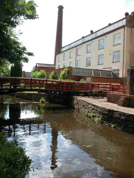
Coldharbour Mill Working Wool Museum
Coldharbour Mill, near the village of Uffculme in Devon, England, is one of the oldest woollen textile mills in the world, having been in continuous production...
Aller, Devon
Aller is a village in the civil parish of Kentisbeare in the historic county of Devon, England. Aller is situated about 2 miles (3.2 km) east of Cullompton...

Orway
Orway is a small hamlet, approximately 1.5 miles squared, situated just on the edge of the Blackdown Hills in Devon, United Kingdom. It is located in the...
Related Videos

Welcome to the Playground for the New Economy Festival 2020
Three days of provocative conversations, interactive discussions, and face-to-face networking. Music is Balloons Rising by ...
Walking medicine ball exercises
How to vary the lunge patterns moving forward and backward. Uses a medicine ball or sand disk. Good for all athletes who want ...
Willand P.E. Week 11, Lesson 1
Walking: No step counting here, just different ways of walking to challenge and develop rhythm and co-ordination. Lots of ...

Willand PE: Week 8, Lesson 3. Top tips from around the world
In our 72nd and final lesson (we hope), we travel around the world to learn from some expert teachers and coaches. They have ...
Nearby Amenities
Located within 500m of 50.877,-3.343Have you been to Bradfield House?
Leave your review of Bradfield House below (or comments, questions and feedback).