Burrow's Copse
Wood, Forest in Devon Mid Devon
England
Burrow's Copse
Burrow's Copse is a picturesque woodland located in Devon, a county in southwestern England. This enchanting forest covers an area of approximately 50 acres and is renowned for its natural beauty and diverse flora and fauna.
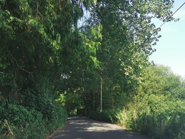
As visitors venture into Burrow's Copse, they are greeted by a serene and peaceful atmosphere. The woodland is predominantly composed of deciduous trees, including oak, birch, and beech, which create a dense canopy overhead, filtering the sunlight and casting beautiful patterns on the forest floor. The forest also features a variety of shrubs and wildflowers, adding vibrant splashes of color throughout the seasons.
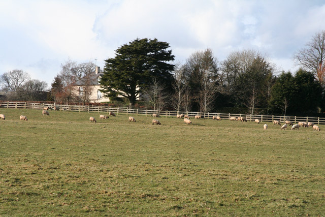
Burrow's Copse is home to a wide range of wildlife. Bird enthusiasts can spot various species such as woodpeckers, owls, and finches flitting among the treetops. Small mammals like squirrels, hedgehogs, and rabbits can also be observed scurrying through the undergrowth, while deer occasionally graze in the meadows on the fringes of the woodland.
This woodland is a popular destination for nature lovers, hikers, and photographers. It offers a network of well-maintained trails, allowing visitors to explore its hidden treasures. The paths wind through the forest, leading to tranquil ponds, ancient trees, and picturesque clearings, providing ample opportunities for peaceful walks and picnics.
Burrow's Copse is not only a haven for local wildlife but also serves as an important ecological site, contributing to the overall biodiversity of the region. Its preservation and conservation efforts ensure that future generations can continue to enjoy the natural wonders this woodland has to offer.
If you have any feedback on the listing, please let us know in the comments section below.
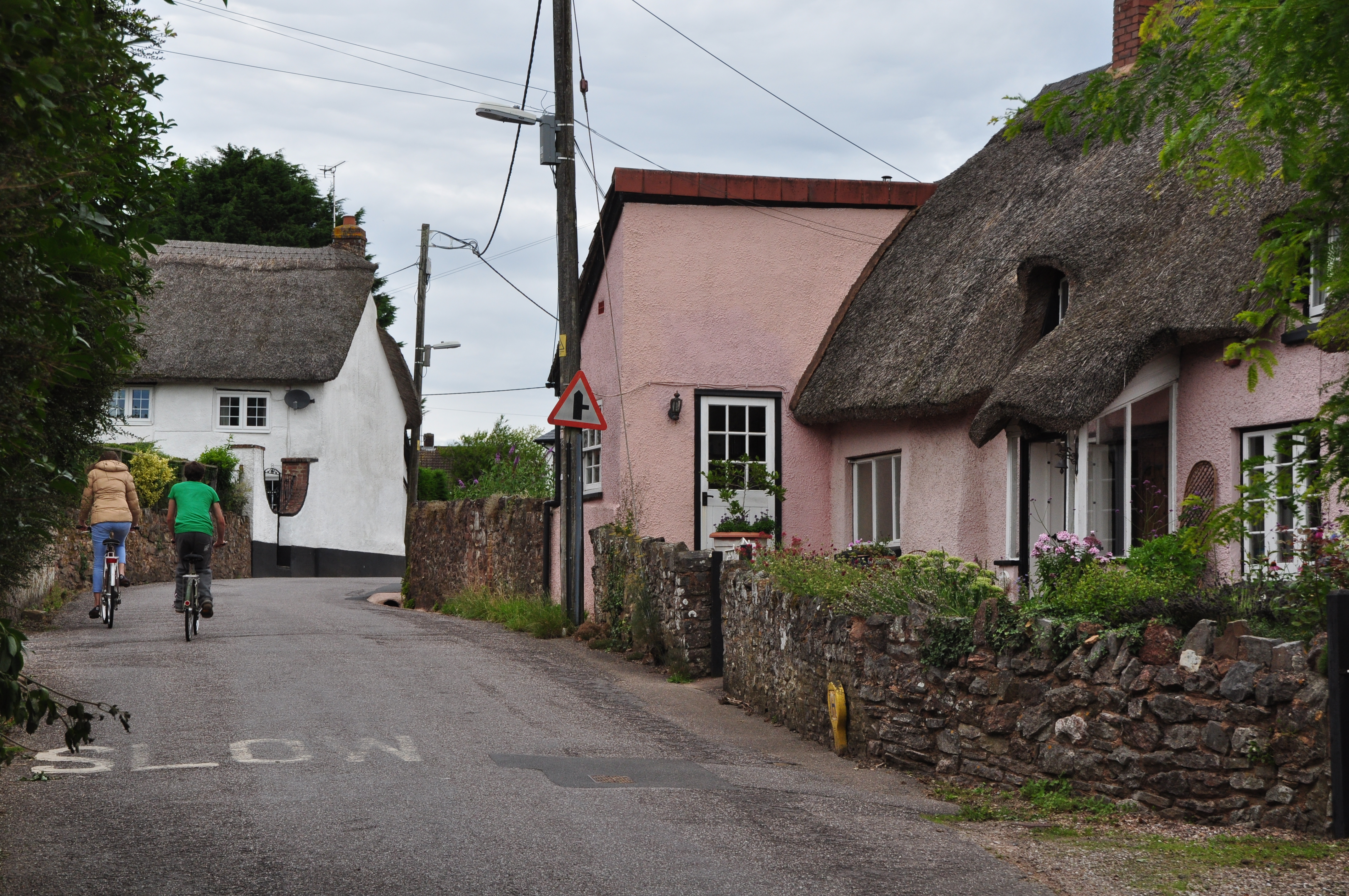
Burrow's Copse Images
Images are sourced within 2km of 50.880453/-3.3406068 or Grid Reference ST0509. Thanks to Geograph Open Source API. All images are credited.


Burrow's Copse is located at Grid Ref: ST0509 (Lat: 50.880453, Lng: -3.3406068)
Administrative County: Devon
District: Mid Devon
Police Authority: Devon and Cornwall
What 3 Words
///healers.gracing.outbound. Near Willand, Devon
Nearby Locations
Related Wikis
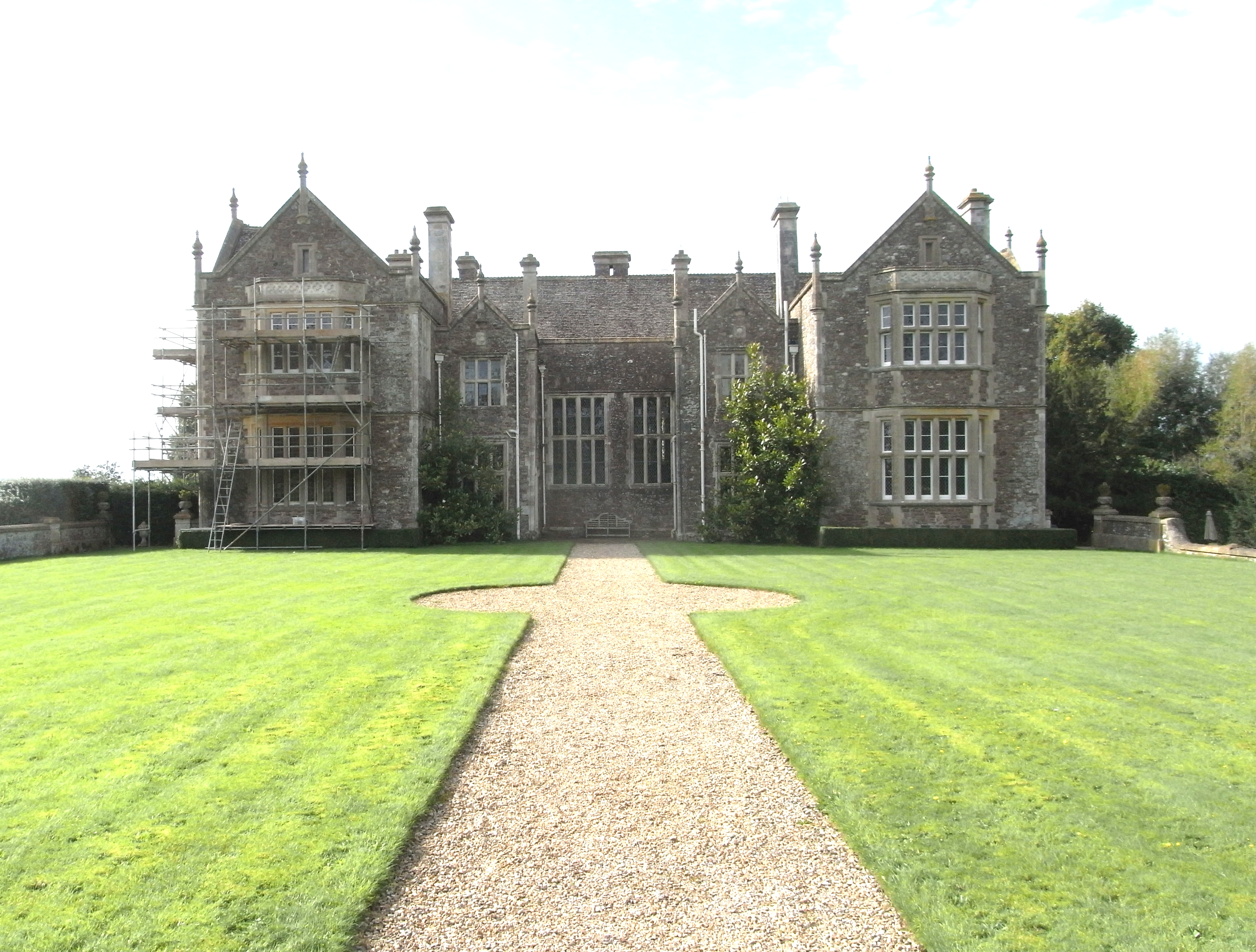
Bradfield House
Bradfield House is a Grade I listed country house situated in the parish of Uffculme, Devon, England, 2 miles (3.2 km) south-west of the village of Uffculme...
Willand
Willand is a village and civil parish in Mid Devon, England. It is about 19 km (12 mi) north of Exeter and 2.4 km (1.5 mi) north of Cullompton. In 1991...

Kentisbeare
Kentisbeare is a village and civil parish in the Mid Devon district of Devon, England. Its nearest town is Cullompton. == Descent of the manor == In the...

Willand Rovers F.C.
Willand Rovers Football Club is a football club based in Willand, near Exeter, in Devon. They are currently members of the Southern League Division One...
Nearby Amenities
Located within 500m of 50.880453,-3.3406068Have you been to Burrow's Copse?
Leave your review of Burrow's Copse below (or comments, questions and feedback).