Burchill Copse
Wood, Forest in Somerset Somerset West and Taunton
England
Burchill Copse

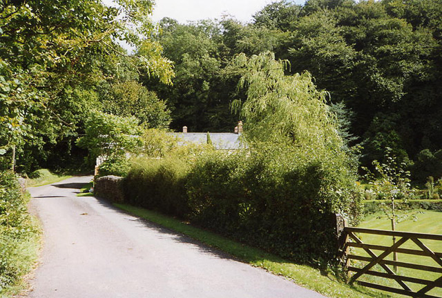
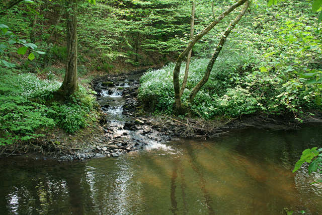
Burchill Copse, located in Somerset, England, is a beautiful woodland area encompassing approximately 100 hectares. Nestled in the heart of the county, it is known for its diverse range of flora and fauna, offering visitors a unique and immersive experience in nature.
The copse is primarily composed of broadleaved trees, such as oak, beech, and ash, which create a dense canopy overhead, providing shelter and a habitat for various wildlife species. The forest floor is adorned with a vibrant carpet of wildflowers, including bluebells and wood anemones, which bloom in abundance during the spring months.
Walking through Burchill Copse, one can encounter a plethora of wildlife. The woodland is home to a diverse range of bird species, including the elusive tawny owl and the melodious song thrush. Squirrels, badgers, and foxes are also commonly sighted, adding to the charm and enchantment of the area.
The copse offers several well-maintained trails, allowing visitors to explore its beauty at their own pace. These paths wind through the trees, offering glimpses of sunlight filtering through the foliage and creating a serene and tranquil atmosphere. Nature enthusiasts can indulge in birdwatching, photography, or simply enjoy a peaceful walk, immersing themselves in the sights and sounds of this idyllic woodland.
Burchill Copse is not only a haven for wildlife but also serves as an important natural habitat, contributing to the overall biodiversity of Somerset. Its preservation and conservation efforts ensure that future generations can continue to appreciate and enjoy this precious woodland gem.
If you have any feedback on the listing, please let us know in the comments section below.
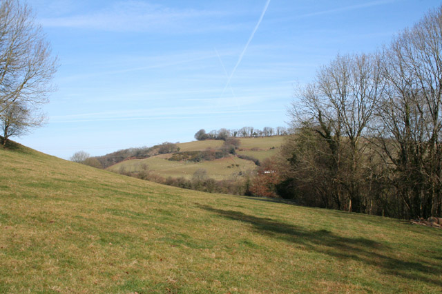
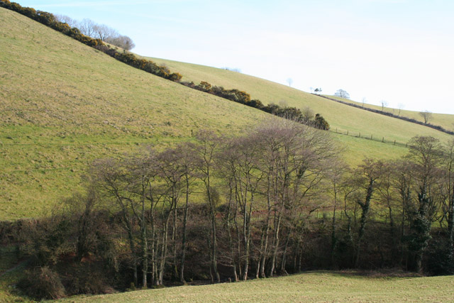
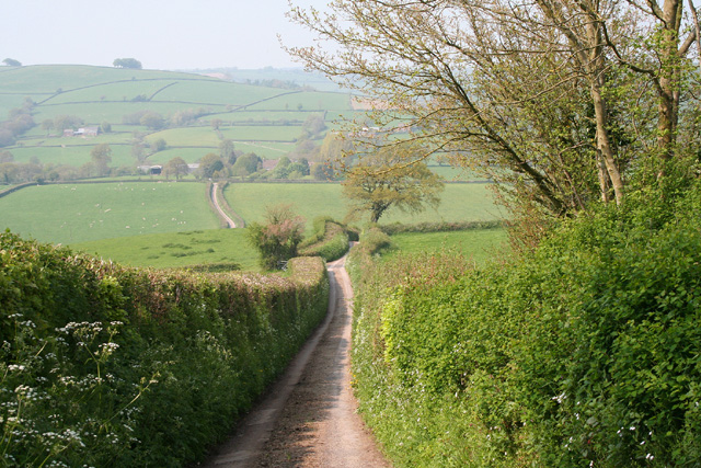
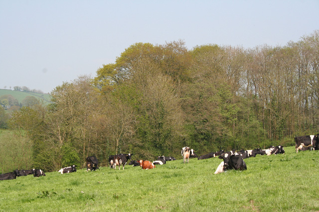
Burchill Copse Images
Images are sourced within 2km of 50.995504/-3.34402 or Grid Reference ST0522. Thanks to Geograph Open Source API. All images are credited.


![Stawley: St Michaelâs Church Robin Bush, who wrote ‘Somerset, The Complete Guide’ [The Dovecote Press, 1994], regards Stawley church as one of his favourites. It stands somewhat remote above the valley of the river Tone. Looking north](https://s2.geograph.org.uk/photos/11/97/119766_dc527420.jpg)

Burchill Copse is located at Grid Ref: ST0522 (Lat: 50.995504, Lng: -3.34402)
Administrative County: Somerset
District: Somerset West and Taunton
Police Authority: Avon and Somerset
What 3 Words
///central.brew.natural. Near Wiveliscombe, Somerset
Nearby Locations
Related Wikis

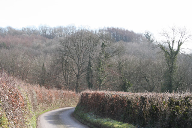
Stawley
Stawley is a village and civil parish in Somerset, England, situated 10 miles (16.1 km) west of Taunton. The parish has a population of 279 and includes...

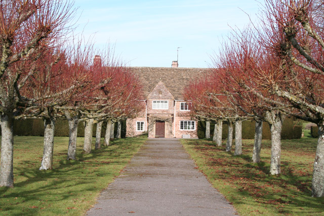
Hill Farm, Stawley
Hill Farm in Stawley, Somerset, England was built in the late 16th century. It is a Grade II* listed building. == History == The farmhouse was built in...

Ashbrittle
Ashbrittle is a village and civil parish in Somerset, England, situated nine miles west of Taunton and close to the River Tone and the route of the Grand...

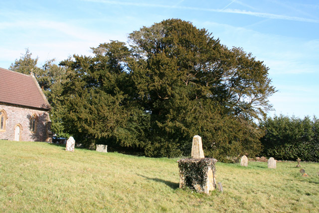
Church of St John the Baptist, Ashbrittle
The Church of St John the Baptist is a Church of England parish church in Ashbrittle, Somerset. It was built in the 15th century, and is a Grade II* listed...
Nearby Amenities
Located within 500m of 50.995504,-3.34402Have you been to Burchill Copse?
Leave your review of Burchill Copse below (or comments, questions and feedback).