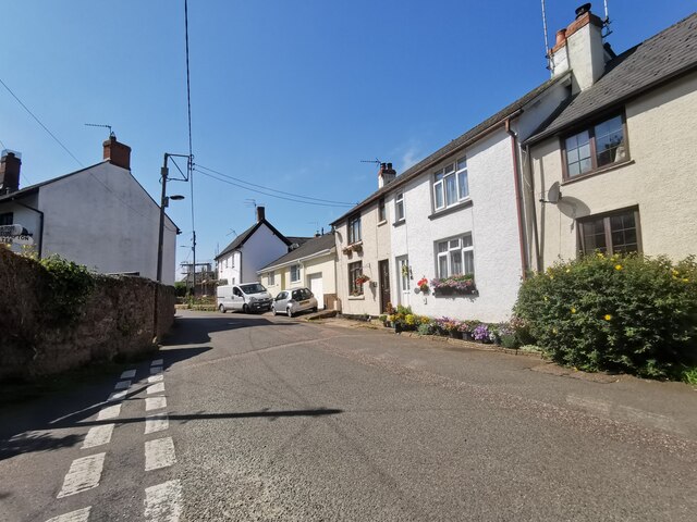
Bradfield
Settlement in Devon Mid Devon
England
Bradfield
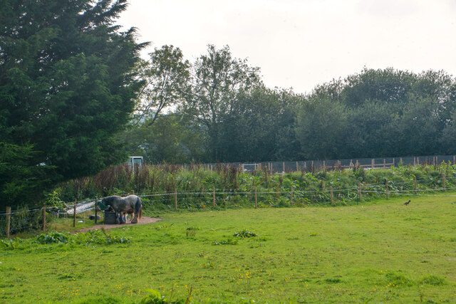
Bradfield is a quaint village located in the county of Devon, England. Situated in the South Hams district, it rests on the southern edge of Dartmoor National Park. With a population of around 600 residents, it exudes a charming rural atmosphere.
The village is known for its picturesque surroundings, surrounded by rolling hills, green pastures, and dense woodlands. Bradfield offers a tranquil escape from the hustle and bustle of urban life, making it a popular destination for nature lovers and outdoor enthusiasts.
Historically, Bradfield was predominantly an agricultural community, and remnants of its farming heritage can still be seen today. Traditional farmhouses, barns, and cottages dot the landscape, giving the village an authentic and timeless feel.
Despite its small size, Bradfield has a strong sense of community. The village boasts a primary school, a village hall, and a local pub, which serves as a meeting place for residents and visitors alike. The pub often hosts events and gatherings, fostering a sense of camaraderie among the villagers.
For those seeking recreational activities, Bradfield offers numerous opportunities. The surrounding countryside is ideal for walking, hiking, and cycling, with various trails and paths to explore. Additionally, the nearby River Avon provides opportunities for fishing and boating.
Overall, Bradfield is a charming and idyllic village that offers a peaceful retreat and a connection to nature. Its rich history, stunning landscapes, and close-knit community make it a gem in the heart of Devon.
If you have any feedback on the listing, please let us know in the comments section below.
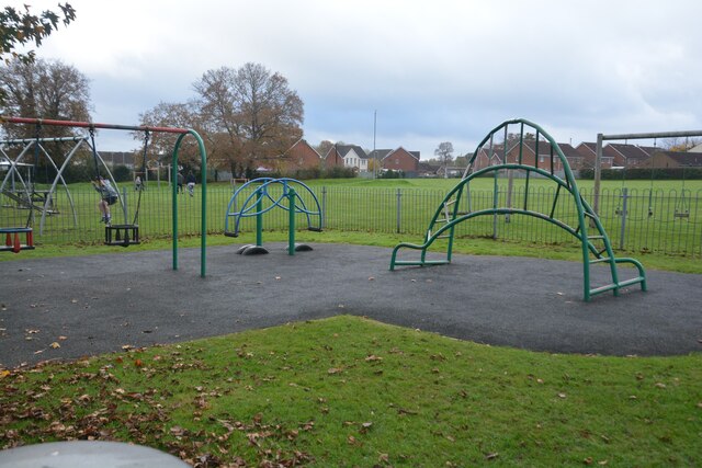
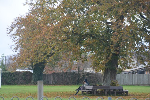
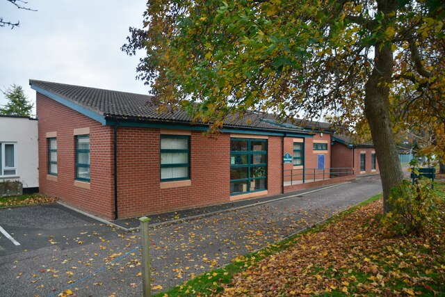
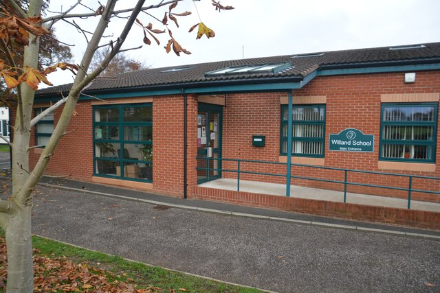
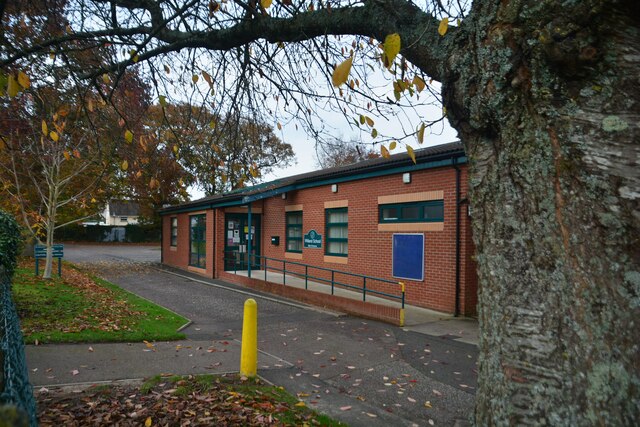
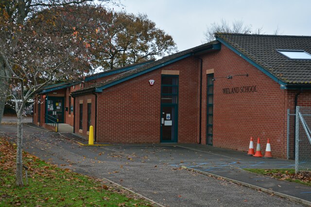
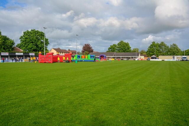
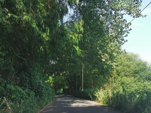
Bradfield Images
Images are sourced within 2km of 50.880002/-3.349654 or Grid Reference ST0509. Thanks to Geograph Open Source API. All images are credited.

Bradfield is located at Grid Ref: ST0509 (Lat: 50.880002, Lng: -3.349654)
Administrative County: Devon
District: Mid Devon
Police Authority: Devon and Cornwall
What 3 Words
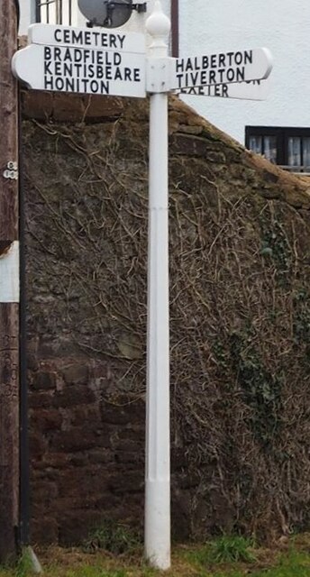
///acrobats.voltages.branded. Near Willand, Devon
Nearby Locations
Related Wikis
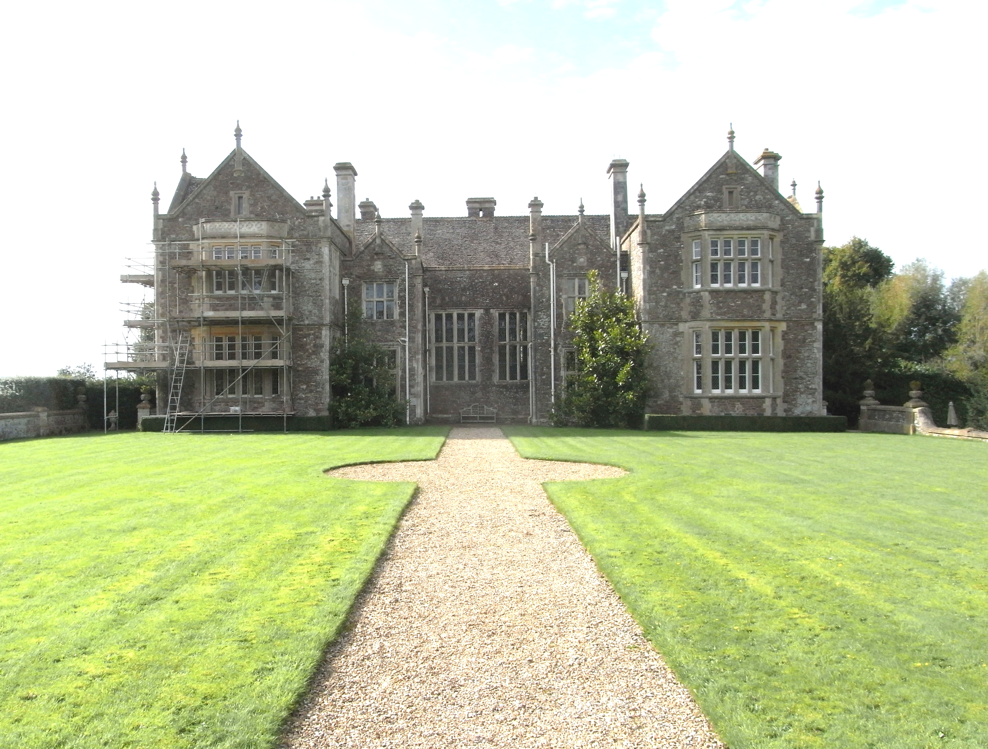
Bradfield House
Bradfield House is a Grade I listed country house situated in the parish of Uffculme, Devon, England, 2 miles (3.2 km) south-west of the village of Uffculme...
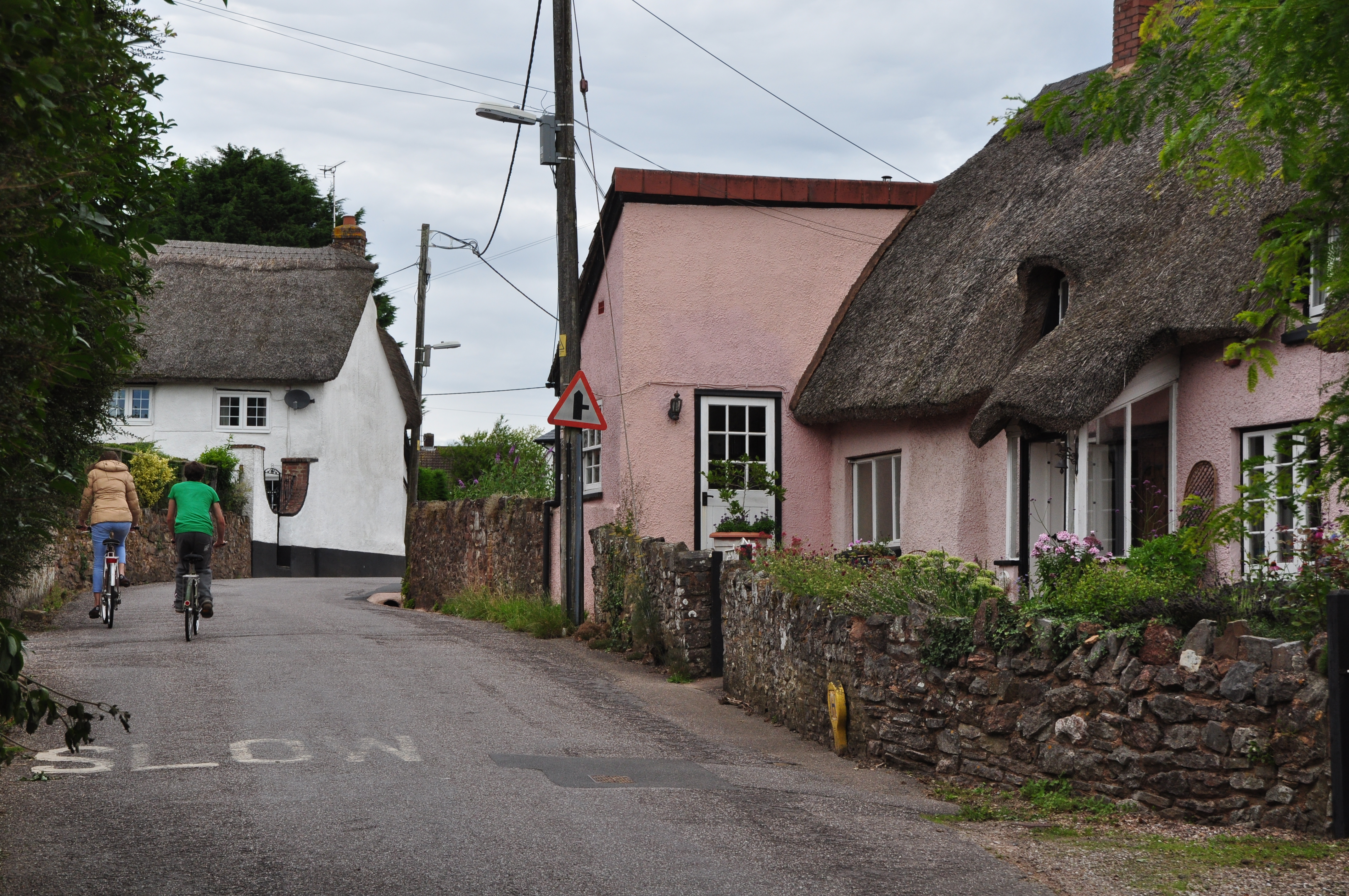
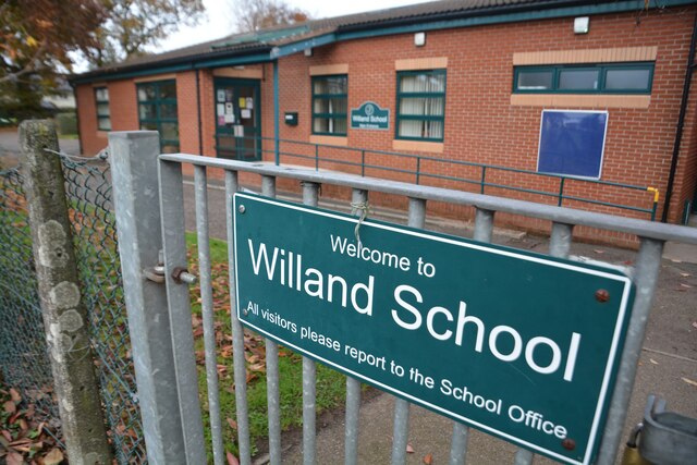
Willand
Willand is a village and civil parish in Mid Devon, England. It is about 19 km (12 mi) north of Exeter and 2.4 km (1.5 mi) north of Cullompton. In 1991...

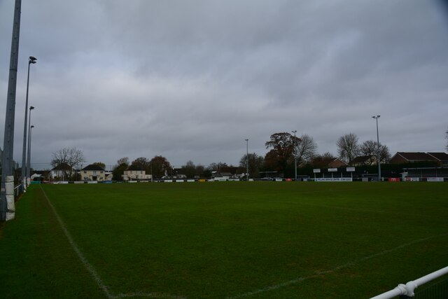
Willand Rovers F.C.
Willand Rovers Football Club is a football club based in Willand, near Exeter, in Devon. They are currently members of the Southern League Division One...

Kentisbeare
Kentisbeare is a village and civil parish in the Mid Devon district of Devon, England. Its nearest town is Cullompton. == Descent of the manor == In the...

Coldharbour Halt railway station
Coldharbour Halt railway station was a small station from 1929 to 1963 on the Culm Valley Light Railway. == History == The station was opened on 23 February...
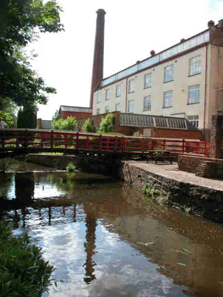
Coldharbour Mill Working Wool Museum
Coldharbour Mill, near the village of Uffculme in Devon, England, is one of the oldest woollen textile mills in the world, having been in continuous production...
Aller, Devon
Aller is a village in the civil parish of Kentisbeare in the historic county of Devon, England. Aller is situated about 2 miles (3.2 km) east of Cullompton...

Cullompton services
Cullompton services is a motorway service station on the M5 motorway near Exeter. It is owned by Extra MSA. It has a McDonald's restaurant which is franchised...
Nearby Amenities
Located within 500m of 50.880002,-3.349654Have you been to Bradfield?
Leave your review of Bradfield below (or comments, questions and feedback).