Bradfield

Settlement in Berkshire

England

Bradfield

Village house, Bradfield Southend, Berkshire
Village house, Bradfield Southend, Berkshire Credit: Oswald Bertram

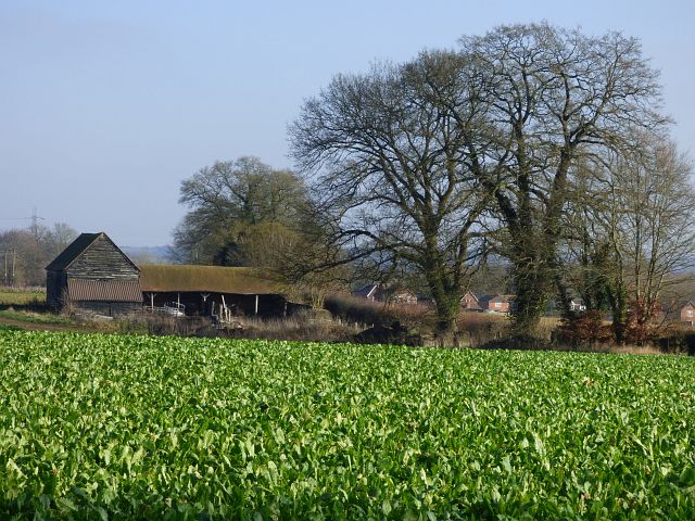
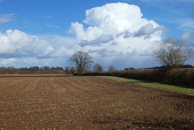
Bradfield is a small village located in the county of Berkshire, England. Situated about 7 miles west of the town of Reading, it is nestled within the beautiful Pangbourne Valley. The village is part of the larger civil parish of Bradfield, which consists of various hamlets and farms spread across the surrounding countryside.

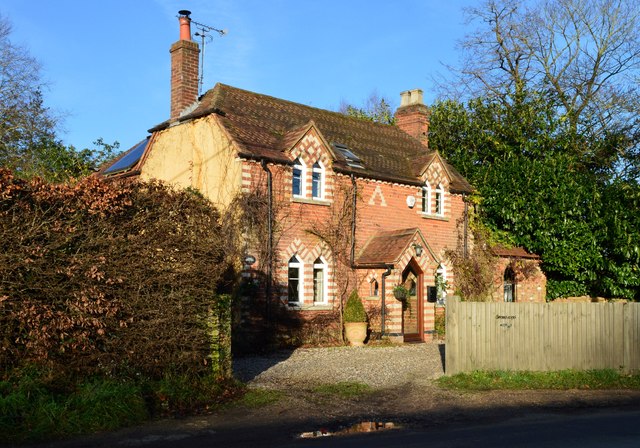
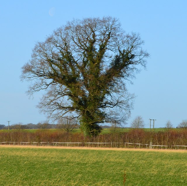
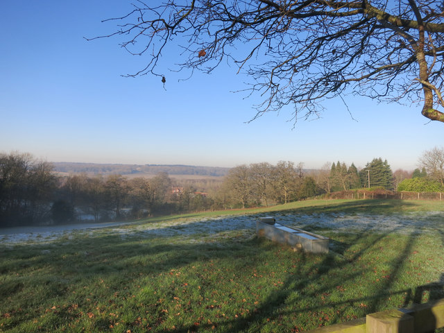
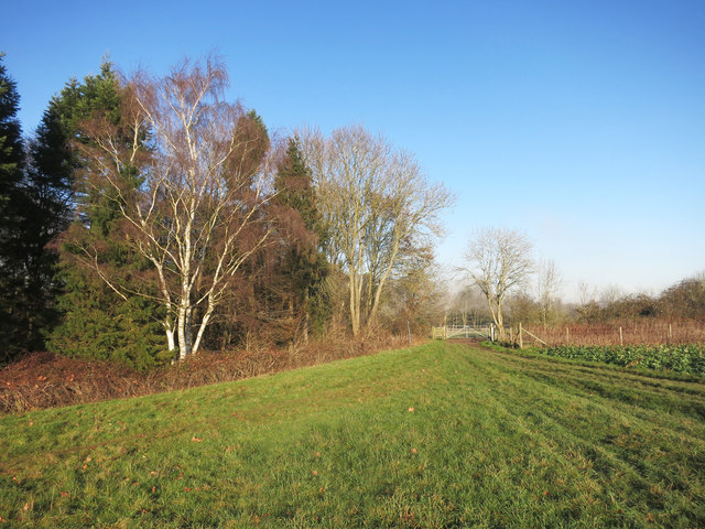
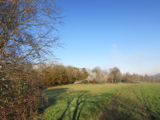
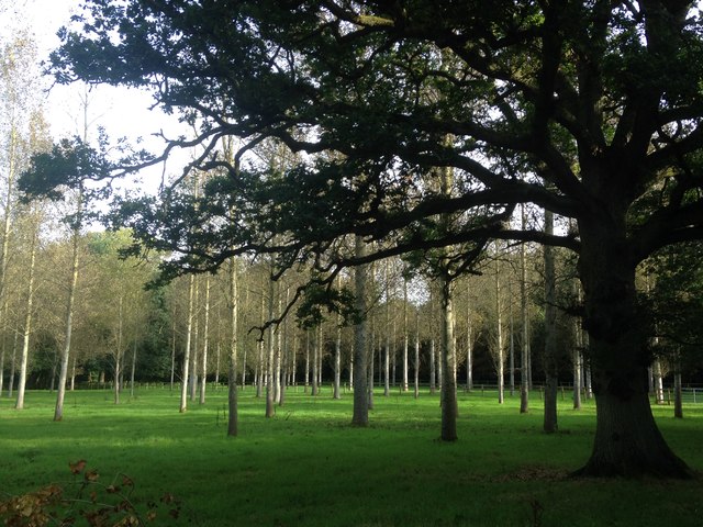
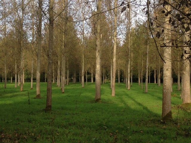
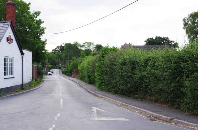
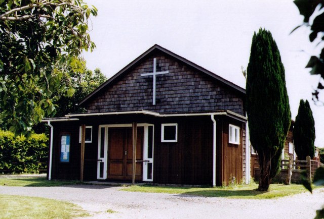
Bradfield is known for its picturesque setting, surrounded by rolling hills, lush meadows, and dense woodlands. The village itself is charming, with its traditional thatched cottages and well-preserved historic buildings. The 12th-century St. Andrew's Church is a prominent landmark, showcasing stunning Norman architecture, including a remarkable tower and a magnificent stained glass window.

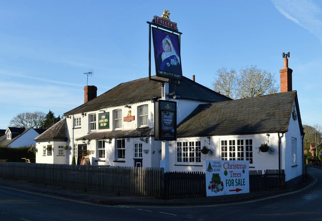
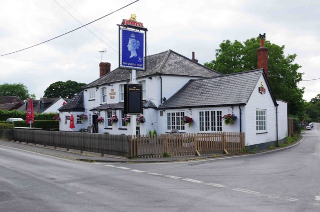
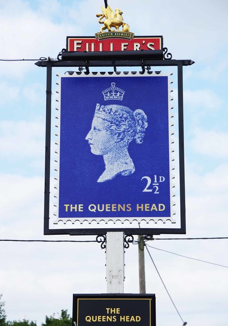
The community in Bradfield is close-knit and vibrant, with a population of around 1,000 residents. The village has a primary school, which serves the local children, and a village hall that hosts various events and activities. There are also several quaint pubs and eateries, providing a cozy atmosphere and serving delicious local cuisine.

Nature lovers and outdoor enthusiasts are drawn to Bradfield due to its vast network of footpaths and bridleways, offering opportunities for scenic walks, cycling, and horse riding. Additionally, the nearby River Pang provides a tranquil spot for fishing and wildlife observation.

In summary, Bradfield is a charming village in Berkshire, known for its beautiful setting, historic architecture, and strong sense of community. It offers a peaceful and idyllic countryside retreat, while still being within easy reach of the amenities and transport links of larger towns nearby.

If you have any feedback on the listing, please let us know in the comments section below.

Bradfield Images

Images are sourced within 2km of 51.449163/-1.1308075 or Grid Reference SU6072. Thanks to Geograph Open Source API. All images are credited.

Village house, Bradfield Southend, Berkshire
The Queen's Head, Bradfield Southend, Berkshire
Field boundary, Bradfield, Berkshire
The Pang Valley near Bradfield The River Pang is the only tributary catchment of any size to join the Thames between Abingdon and Reading.
The Pang Valley near Bradfield
The River Pang is the only tributary catchment of any size to join the Thames between Abingdon and Reading.
Paths meet at the gate A convergence of footpaths by Fisher's Copse.
Paths meet at the gate
A convergence of footpaths by Fisher's Copse.
Bonfire in the wood Something on fire near some stables.
Bonfire in the wood
Something on fire near some stables.
Poplar plantation near Folly Bridge A few standard oak trees are surrounded by the planted poplars.
Poplar plantation near Folly Bridge
A few standard oak trees are surrounded by the planted poplars.
Poplar plantation near Folly Bridge Looking north-west towards Frogmoor Farm.
Poplar plantation near Folly Bridge
Looking north-west towards Frogmoor Farm.
West Berkshire : M4 Motorway The M4 Motorway between Junction 13 (Chieveley Interchange) and Junction 12 (Theale Interchange)
West Berkshire : M4 Motorway
The M4 Motorway between Junction 13 (Chieveley Interchange) and Junction 12 (Theale Interchange)
House near Bottomhouse Farm
Farmland and barn, Bradfield A crop of turnips beside Greathouse Walk, the likes of which were being grazed upon by sheep in the fields to the east.
Farmland and barn, Bradfield
A crop of turnips beside Greathouse Walk, the likes of which were being grazed upon by sheep in the fields to the east.
The Queens Head (1), Southend Road, Bradfield, Berks A public house owned by Fullers and which offers homemade food. There is a garden.

<a href="https://www.geograph.org.uk/photo/6223971">SU5970 : The Queens Head (2) - sign, Southend Road, Bradfield, Berks</a>.
The Queens Head (1), Southend Road, Bradfield, Berks
A public house owned by Fullers and which offers homemade food. There is a garden. SU5970 : The Queens Head (2) - sign, Southend Road, Bradfield, Berks.
The Queens Head (2) - sign, Southend Road, Bradfield, Berks The previous sign showed a traditional portrait of Queen Victoria late in her reign. The present sign is based on a postage stamp issued earlier in her reign. 

<a href="https://www.geograph.org.uk/photo/6223926">SU5970 : The Queens Head (1), Southend Road, Bradfield, Berks</a>.
The Queens Head (2) - sign, Southend Road, Bradfield, Berks
The previous sign showed a traditional portrait of Queen Victoria late in her reign. The present sign is based on a postage stamp issued earlier in her reign. SU5970 : The Queens Head (1), Southend Road, Bradfield, Berks.
Cock Lane, Bradfield, Berks The road leads off Southend Road and passes the Queens Head public house on the left.
Cock Lane, Bradfield, Berks
The road leads off Southend Road and passes the Queens Head public house on the left.
Westbound M4
Westbound M4
Farmland, Bradfield A recently cultivated field at Rushall Farm with a showery-looking sky to the north of Reading.
Farmland, Bradfield
A recently cultivated field at Rushall Farm with a showery-looking sky to the north of Reading.
Valley of River Pang west of Bradfield (Berks) The Pang is a tributary of the Thames which it joins at Whitchurch Lock, Pangbourne approximately fourteen miles from its source near Compton. Between Compton and Bradfield it flows through very rural countryside such as this.
Valley of River Pang west of Bradfield (Berks)
The Pang is a tributary of the Thames which it joins at Whitchurch Lock, Pangbourne approximately fourteen miles from its source near Compton. Between Compton and Bradfield it flows through very rural countryside such as this.
Rear of Greathouse Cottage, Greathouse Walk, Bradfield (Berks) Greathouse Walk is a bridleway and the pond is shown on OS maps.
Rear of Greathouse Cottage, Greathouse Walk, Bradfield (Berks)
Greathouse Walk is a bridleway and the pond is shown on OS maps.
Show me another place!

Bradfield is located at Grid Ref: SU6072 (Lat: 51.449163, Lng: -1.1308075)

Unitary Authority: West Berkshire

Police Authority: Thames Valley

What 3 Words

///perform.alerting.brushing. Near Bradfield, Berkshire

Related Wikis

Bradfield College

Bradfield College, formally St Andrew's College, Bradfield, is a public school (English fee-charging boarding and day school) for pupils aged 13–18, located...

Bradfield, Berkshire

Bradfield is a village and civil parish in Berkshire, England. Aside from farms and a smaller amount of woodland its main settlements are Bradfield Southend...

Bradfield Rural District

Bradfield was a rural district in Berkshire, England, from 1894 to 1974.It was created under the Local Government Act 1894 from the Bradfield rural sanitary...

St Andrew's School, Pangbourne

St Andrew's School is an independent preparatory school in the hamlet of Buckhold, near Pangbourne, Berkshire, England. Together with its 'Pre-Prep – Early...

Englefield House

Englefield House is an Elizabethan country house with surrounding estate at Englefield in the English county of Berkshire. The gardens are open to the...

Southend, Berkshire

Southend or Bradfield Southend is a small rural village in the west of the civil parish of Bradfield in the English county of Berkshire. Until the 1965...

River Bourne, Berkshire

The River Bourne is a river in the English county of Berkshire. It is a tributary of the River Pang and, indirectly, of the River Thames. The Bourne's...

Battle of Englefield

The Battle of Englefield was a West Saxon victory against a Danish Viking army on about 31 December 870 at Englefield, near Reading in Berkshire. It was...

Nearby Amenities

Located within 500m of 51.449163,-1.1308075
Parking
Access: private
Description: Visitors Car Park
Lat/Long: 51.4482895/-1.1317205
Bradfield
Place: village
Wikidata: Q4954517
Lat/Long: 51.4513919/-1.1335927
Post Box
Post Box Type: pillar
Ref: SN6 280D
Royal Cypher: EIIR
Royal Cypher Wikidata: Q33102113
Lat/Long: 51.4501709/-1.1323147
Booth: K6
Covered: booth
Disused Amenity: telephone
Man Made: telephone_box
Lat/Long: 51.4501495/-1.1322608
The data included in this document is from www.openstreetmap.org. The data is made available under ODbL.

Have you been to Bradfield?

Leave your review of Bradfield below (or comments, questions and feedback).