Berkshire
Historic County in
England
Berkshire
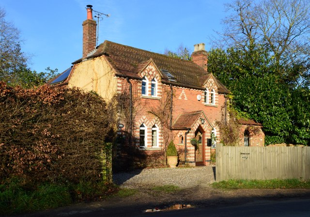
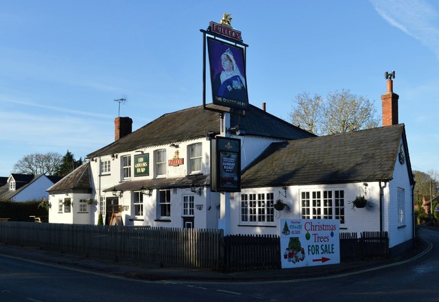
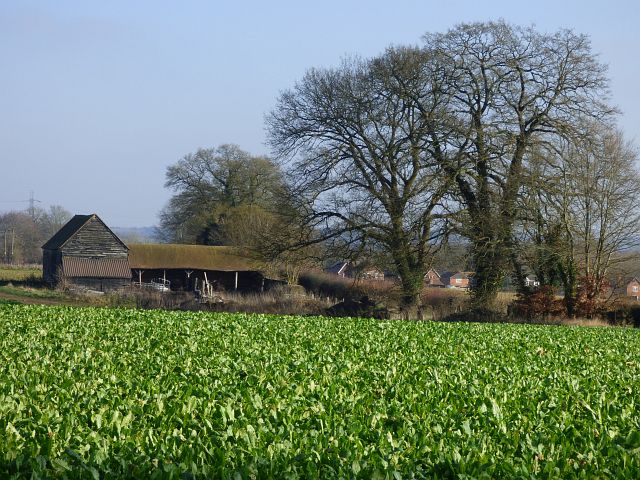
Berkshire, a historic county located in the south-east region of England, covers an area of approximately 1,262 square kilometers. The county is bounded by the counties of Oxfordshire, Buckinghamshire, Surrey, Wiltshire, and Hampshire. The major towns in Berkshire include Reading, the county town, as well as Slough, Windsor, Newbury, and Bracknell.
With a rich history dating back to prehistoric times, Berkshire has witnessed significant developments throughout the centuries. During the medieval period, the county was known for its royal importance, as it housed Windsor Castle, one of the official residences of the British monarch. In fact, the county's name is derived from the Old English words "Bearroc" and "scir," meaning "hilly district of the Barrows."
Berkshire's economy thrives on a mix of industries, including technology, finance, and services. The county is home to several high-tech companies, such as Microsoft and Oracle, which are located in the Thames Valley region. Additionally, the financial sector plays a significant role in Berkshire, with many large multinational companies having their headquarters in the area.
The county also boasts a diverse range of attractions and landmarks. Windsor Castle remains a prominent tourist destination, attracting visitors from all over the world. Other notable landmarks include Highclere Castle, the setting for the popular television series "Downton Abbey," and the ruins of Reading Abbey, which was founded by Henry I in the 12th century.
Berkshire offers a blend of historical significance, natural beauty, and modern advancements, making it an attractive location for residents and tourists alike.
If you have any feedback on the listing, please let us know in the comments section below.
Berkshire Images
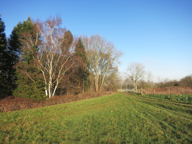
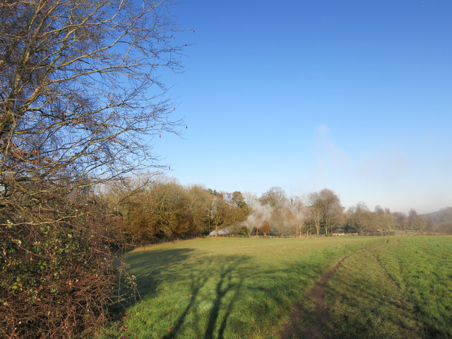
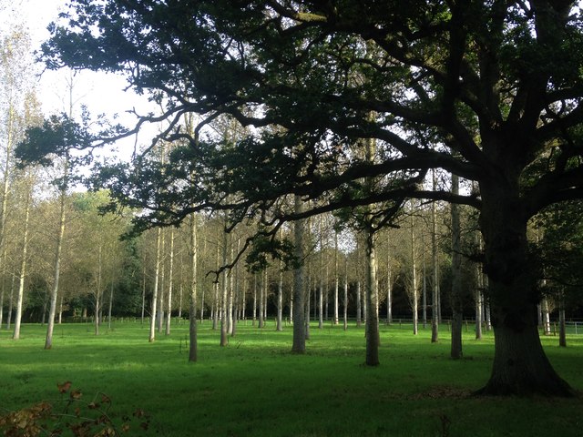
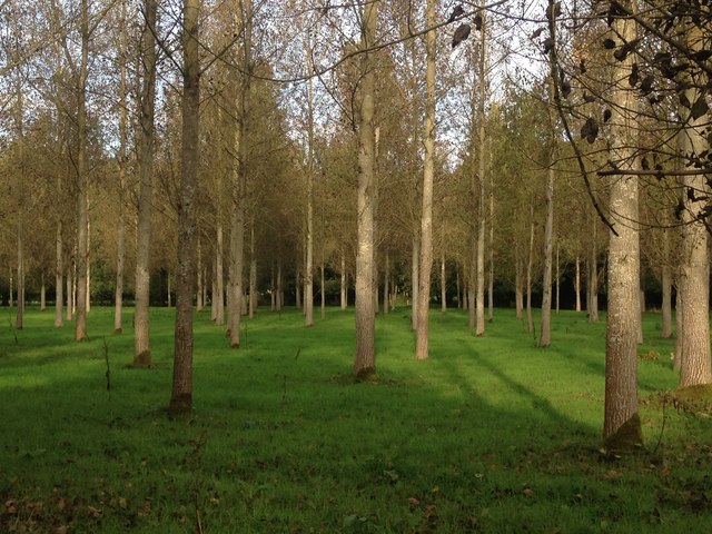
Images are sourced within 2km of 51.44916/-1.1308 or Grid Reference SU6072. Thanks to Geograph Open Source API. All images are credited.


Berkshire is located at Grid Ref: SU6072 (Lat: 51.44916, Lng: -1.1308)
What 3 Words
///perform.alerting.brushing. Near Bradfield, Berkshire
Related Wikis

Bradfield College
Bradfield College, formally St Andrew's College, Bradfield, is a public school (English fee-charging boarding and day school) for pupils aged 13–18, located...

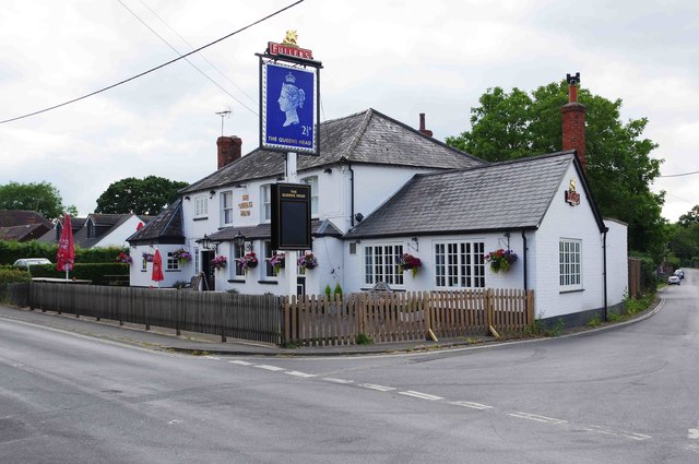
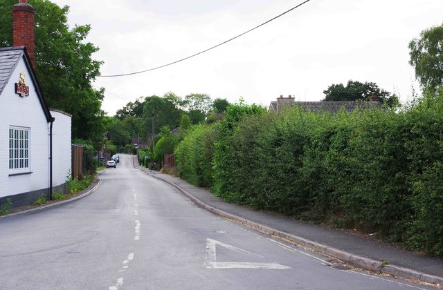
Bradfield, Berkshire
Bradfield is a village and civil parish in Berkshire, England. Aside from farms and a smaller amount of woodland its main settlements are Bradfield Southend...

Bradfield Rural District
Bradfield was a rural district in Berkshire, England, from 1894 to 1974.It was created under the Local Government Act 1894 from the Bradfield rural sanitary...
St Andrew's School, Pangbourne
St Andrew's School is an independent preparatory school in the hamlet of Buckhold, near Pangbourne, Berkshire, England. Together with its 'Pre-Prep – Early...
Nearby Amenities
Located within 500m of 51.44916,-1.1308Have you been to Berkshire?
Leave your review of Berkshire below (or comments, questions and feedback).