Gardener's Covert
Wood, Forest in Devon Mid Devon
England
Gardener's Covert
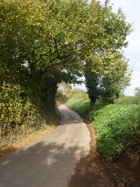
Gardener's Covert, located in Devon, England, is a picturesque woodland area known for its natural beauty and abundant wildlife. Covering a vast expanse, it is a popular destination for nature enthusiasts and outdoor lovers alike.
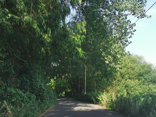
The woodland is primarily made up of a mix of deciduous and coniferous trees, creating a diverse and vibrant ecosystem. The tall, majestic oaks and beeches provide a canopy of shade, while the evergreen pines add a touch of greenery throughout the year. This combination of trees creates a serene and tranquil atmosphere, perfect for relaxation and exploration.
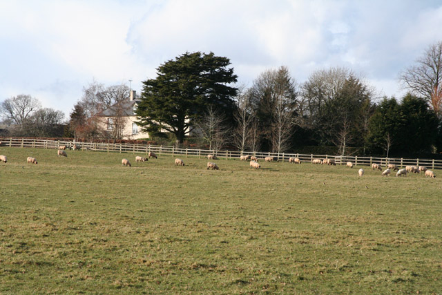
Gardener's Covert is home to a wide variety of wildlife. Visitors can spot numerous species of birds, including woodpeckers, owls, and thrushes, making it a paradise for birdwatchers. The forest floor is also teeming with life, with small mammals such as squirrels, rabbits, and hedgehogs scurrying about.
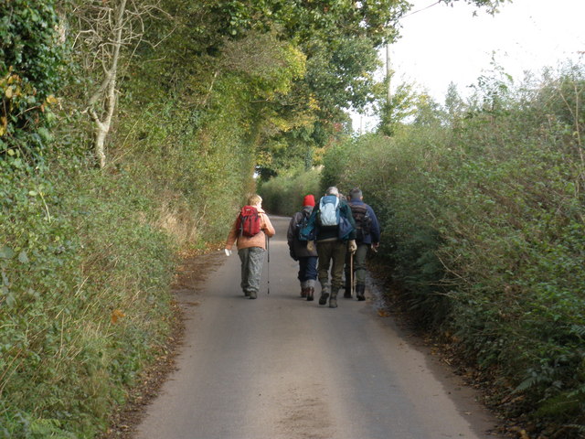
The woodland offers several well-maintained trails and paths, allowing visitors to explore the area on foot or by bicycle. These paths wind through the woods, offering glimpses of enchanting glades, bubbling brooks, and hidden ponds. Along the way, there are several designated picnic areas, providing a perfect spot to relax and enjoy the natural surroundings.
Gardener's Covert is also home to a variety of plant species, with colorful wildflowers dotting the forest floor during the spring and summer months. Bluebells, primroses, and foxgloves add splashes of color to the otherwise green landscape.
Overall, Gardener's Covert, Devon, is a haven for nature lovers, offering a peaceful retreat from the hustle and bustle of everyday life. Its diverse flora and fauna, combined with its tranquil atmosphere, make it a must-visit destination for anyone seeking solace in nature.
If you have any feedback on the listing, please let us know in the comments section below.
Gardener's Covert Images
Images are sourced within 2km of 50.87631/-3.3435154 or Grid Reference ST0509. Thanks to Geograph Open Source API. All images are credited.


![Kentisbeare: leat to Newland Farm By Square Oak. The leat has been in existence since 1299 and provided the Newland Farm water supply. It was probably used for irrigation too. In the 19th century it also powered a waterwheel at the farm. The leat runs from Goodiford Mill and is about 1 mile 550 yards long. [Sources: Helen Barrett. Our Heritage. A History of Kentisbeare and Blackborough, privately published, 1977, 13-15; Devon Record Office – DRO 1926B/W/ET/6/13 – and Geoff Cann, the owner of Newland in 2003]](https://s3.geograph.org.uk/photos/14/38/143891_ddfa87d7.jpg)


Gardener's Covert is located at Grid Ref: ST0509 (Lat: 50.87631, Lng: -3.3435154)
Administrative County: Devon
District: Mid Devon
Police Authority: Devon and Cornwall
What 3 Words
///swerving.manage.goggle. Near Willand, Devon
Nearby Locations
Related Wikis
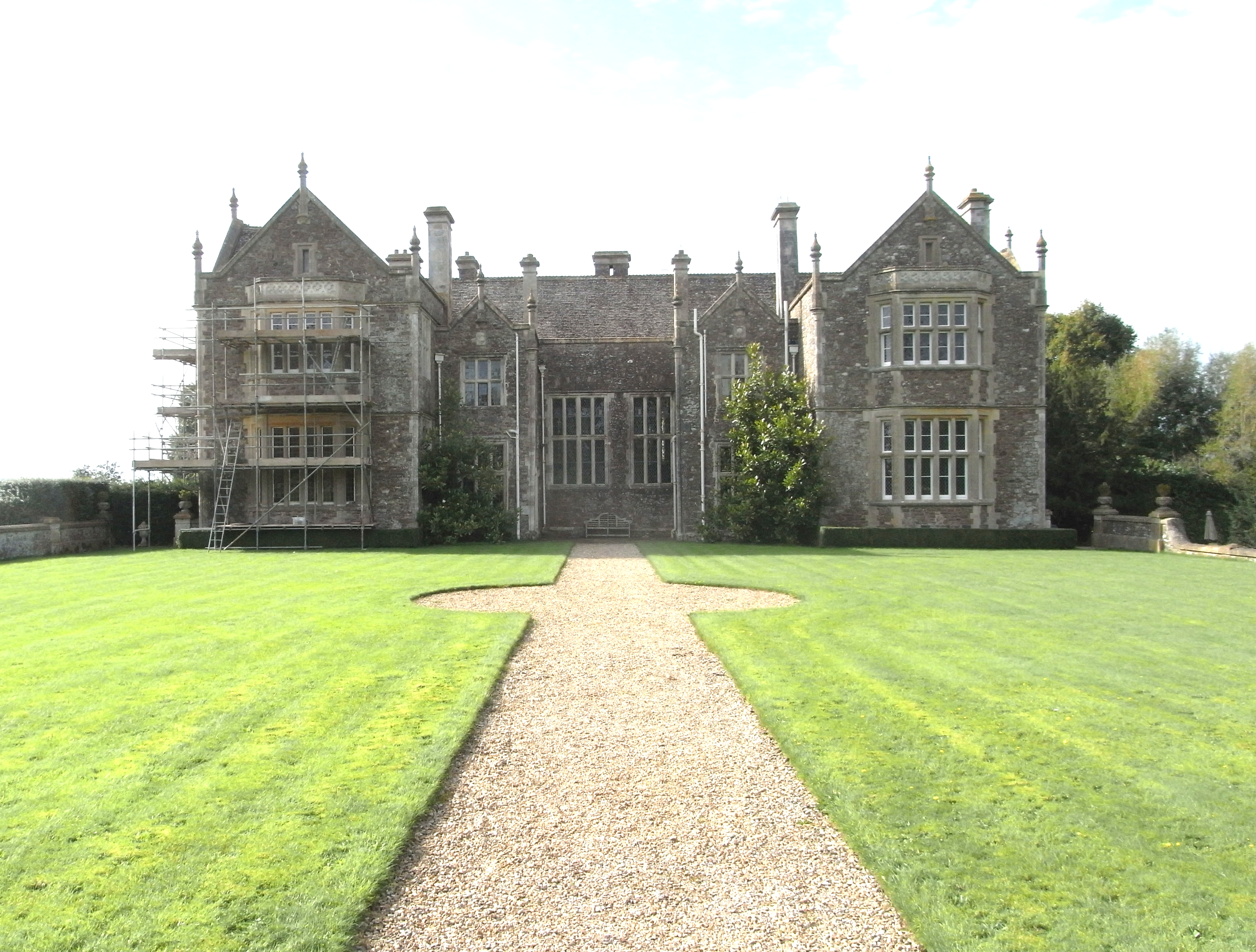
Bradfield House
Bradfield House is a Grade I listed country house situated in the parish of Uffculme, Devon, England, 2 miles (3.2 km) south-west of the village of Uffculme...
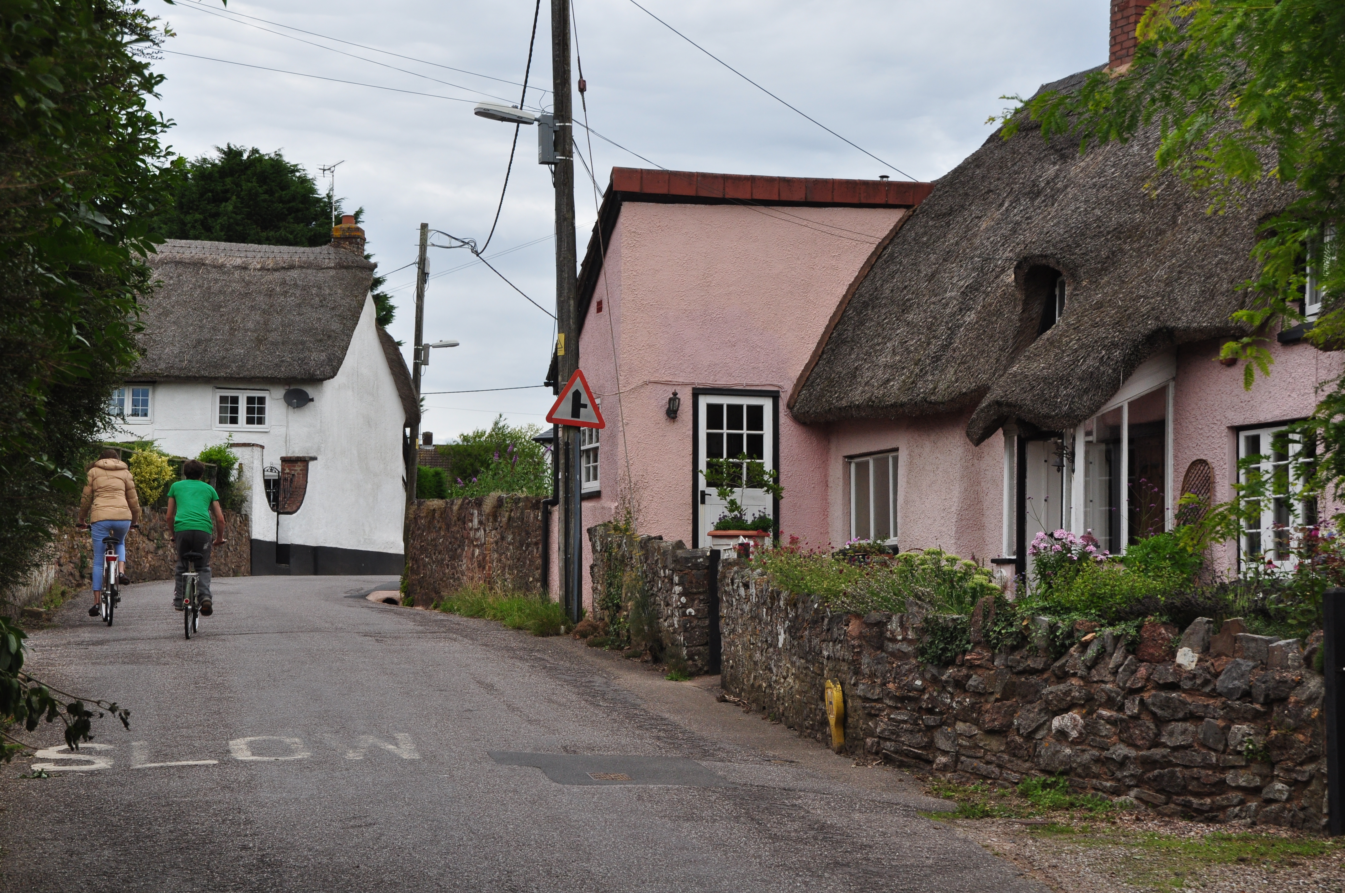
Willand
Willand is a village and civil parish in Mid Devon, England. It is about 19 km (12 mi) north of Exeter and 2.4 km (1.5 mi) north of Cullompton. In 1991...

Kentisbeare
Kentisbeare is a village and civil parish in the Mid Devon district of Devon, England. Its nearest town is Cullompton. == Descent of the manor == In the...

Willand Rovers F.C.
Willand Rovers Football Club is a football club based in Willand, near Exeter, in Devon. They are currently members of the Southern League Division One...

Aller, Devon
Aller is a village in the civil parish of Kentisbeare in the historic county of Devon, England. Aller is situated about 2 miles (3.2 km) east of Cullompton...
Coldharbour Halt railway station
Coldharbour Halt railway station was a small station from 1929 to 1963 on the Culm Valley Light Railway. == History == The station was opened on 23 February...
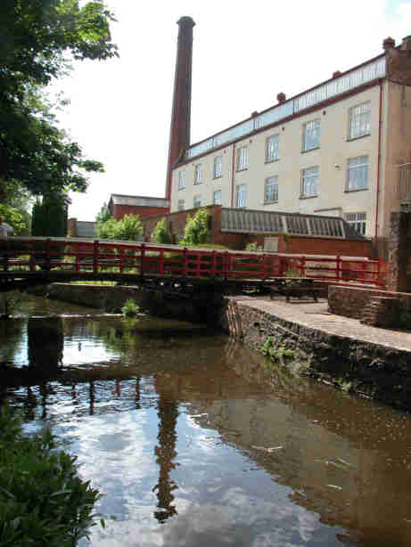
Coldharbour Mill Working Wool Museum
Coldharbour Mill, near the village of Uffculme in Devon, England, is one of the oldest woollen textile mills in the world, having been in continuous production...

Orway
Orway is a small hamlet, approximately 1.5 miles squared, situated just on the edge of the Blackdown Hills in Devon, United Kingdom. It is located in the...
Related Videos

Welcome to the Playground for the New Economy Festival 2020
Three days of provocative conversations, interactive discussions, and face-to-face networking. Music is Balloons Rising by ...

Walking medicine ball exercises
How to vary the lunge patterns moving forward and backward. Uses a medicine ball or sand disk. Good for all athletes who want ...

Willand P.E. Week 11, Lesson 1
Walking: No step counting here, just different ways of walking to challenge and develop rhythm and co-ordination. Lots of ...

Willand PE: Week 8, Lesson 3. Top tips from around the world
In our 72nd and final lesson (we hope), we travel around the world to learn from some expert teachers and coaches. They have ...
Nearby Amenities
Located within 500m of 50.87631,-3.3435154Have you been to Gardener's Covert?
Leave your review of Gardener's Covert below (or comments, questions and feedback).