Abbey Wood

Wood, Forest in Cumberland Copeland

England

Abbey Wood

A595 at The Stanley Arms, Calder Bridge
A595 at The Stanley Arms, Calder Bridge Credit: Colin Pyle

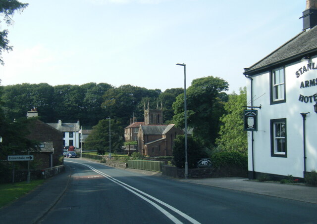
Abbey Wood is a small village located in the district of Cumberland, England. Situated within the scenic woodlands of the county, Abbey Wood is known for its lush forest and tranquil atmosphere. The village is nestled amidst an abundance of natural beauty, making it a popular destination for nature lovers and outdoor enthusiasts.

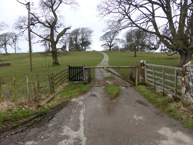
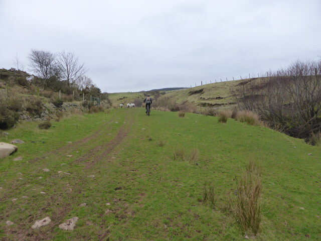
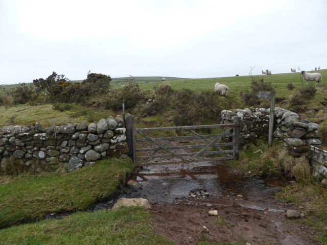
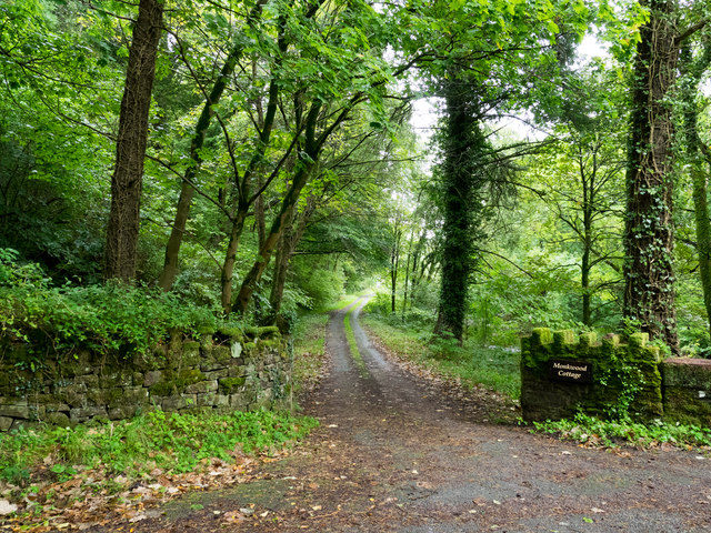
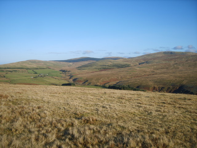
The woodlands surrounding Abbey Wood are characterized by their dense foliage, towering trees, and picturesque walking trails. Visitors can explore the forest, immersing themselves in the peaceful surroundings and enjoying the diverse array of flora and fauna. The woodlands are home to a variety of wildlife, including deer, rabbits, squirrels, and a wide range of bird species, making it a haven for nature photographers and birdwatchers.

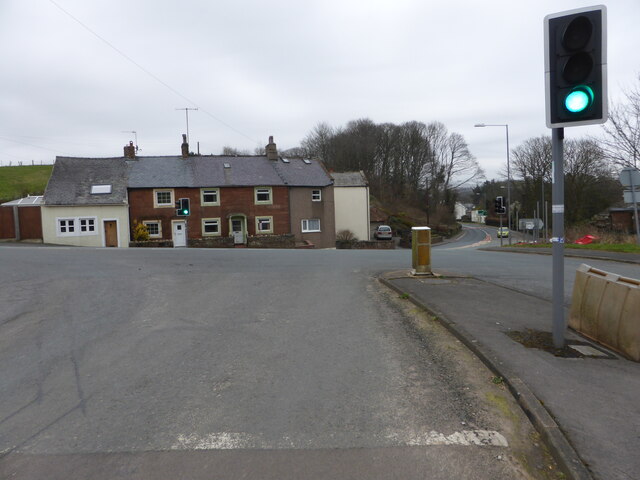
Abbey Wood itself is a quaint and charming village, with a small population and a close-knit community. The village offers a range of amenities for residents and visitors, including a local pub, a small convenience store, and a village hall that hosts various community events throughout the year.

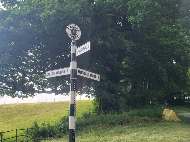
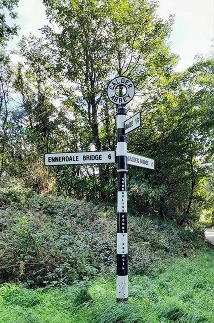
The village's history is closely tied to the Abbey that once stood nearby. Although the abbey itself no longer exists, the remnants of its foundations can still be seen, adding a touch of historical significance to the area.

Overall, Abbey Wood, Cumberland is a hidden gem for those seeking a peaceful retreat amidst nature. With its stunning woodlands, diverse wildlife, and welcoming community, it offers a delightful escape from the hustle and bustle of city life.

If you have any feedback on the listing, please let us know in the comments section below.
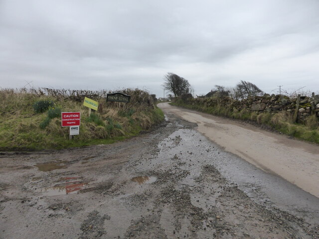
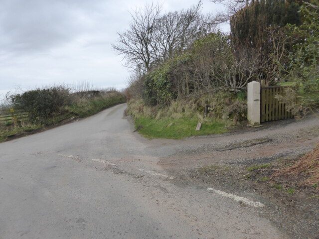
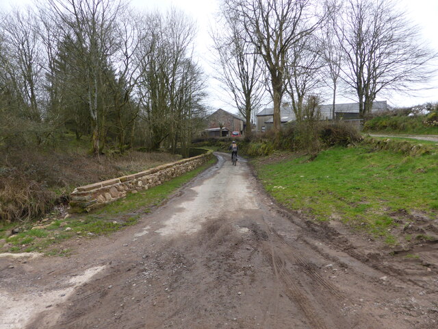
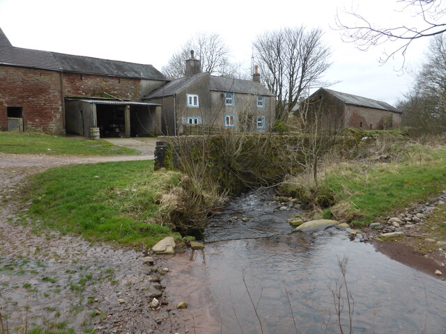
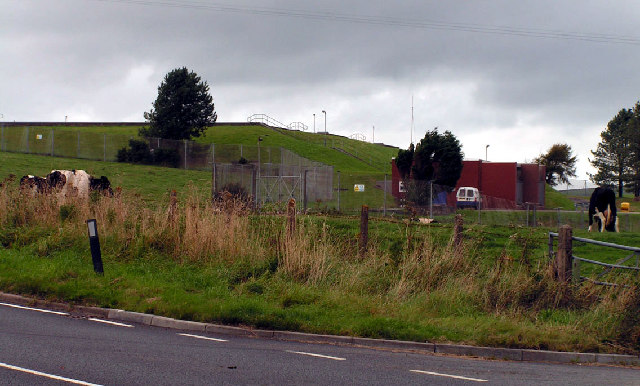
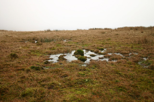
Abbey Wood Images

Images are sourced within 2km of 54.444024/-3.4600206 or Grid Reference NY0506. Thanks to Geograph Open Source API. All images are credited.

A595 at The Stanley Arms, Calder Bridge
Road junction at Calder Bridge This is a busy junction, serving one of the entry gates for Sellafield site.
Road junction at Calder Bridge
This is a busy junction, serving one of the entry gates for Sellafield site.
The driveway to Ponsonby Church
Where the bridleway to Ponsonby leaves the road
The lane to Ponsonby Old Hall
The lane to Gibb Hill Farm
The lane into Scargreen farm
Scargreen Beck at Scargreen farm
One of several fords near Scargreen farm
Bridleway alongside Scargreen Beck
A wet foot zone It isn't possible to open the gate without standing in Scargreen Beck.
A wet foot zone
It isn't possible to open the gate without standing in Scargreen Beck.
Hairpin bend and signpost
Farm track to Moor House Farm Farm track bounded by hedgerows
Farm track to Moor House Farm
Farm track bounded by hedgerows
Direction Sign – Signpost by the Cold Fell road near Calder Abbey Located on the northwest side of the junction of the Cold Fell Road and the road to Thornholme, near Calder Abbey. Ponsonby parish. 3 arms and annulus finial. See <a title="https://www.geograph.org.uk/photo/6093912" href="https://www.geograph.org.uk/photo/6093912">Link</a> for an older photo before two missing arms were replaced.

Milestone Society National ID: CU_NY0406B
Direction Sign – Signpost by the Cold Fell road near Calder Abbey
Located on the northwest side of the junction of the Cold Fell Road and the road to Thornholme, near Calder Abbey. Ponsonby parish. 3 arms and annulus finial. See Link for an older photo before two missing arms were replaced. Milestone Society National ID: CU_NY0406B
Direction Sign – Signpost Signpost on the Cold Fell Road in Ponsonby parish Located on the southeast side of the junction of the Cold Fell Road and the road to Haile in Ponsonby parish. 3 arms and annulus finial. See also <a title="https://www.geograph.org.uk/photo/6068800" href="https://www.geograph.org.uk/photo/6068800">Link</a> which shows this before it was refurbished.

Milestone Society National ID: CU_NY0406A
Direction Sign – Signpost Signpost on the Cold Fell Road in Ponsonby parish
Located on the southeast side of the junction of the Cold Fell Road and the road to Haile in Ponsonby parish. 3 arms and annulus finial. See also Link which shows this before it was refurbished. Milestone Society National ID: CU_NY0406A
Ordnance Survey Cut Mark This OS cut mark can be found on the NW face of St Bridget's Church. It marks a point 53.739m above mean sea level.
Ordnance Survey Cut Mark
This OS cut mark can be found on the NW face of St Bridget's Church. It marks a point 53.739m above mean sea level.
Access road for Monkwood Cottage The road by which the cottage is reached runs alongside the River Calder which passes beneath Stakes Bridge just to the right, out of the image.
Access road for Monkwood Cottage
The road by which the cottage is reached runs alongside the River Calder which passes beneath Stakes Bridge just to the right, out of the image.
Access road near to Calder Abbey The road is not an access route for the remains of the abbey itself but for another nearby property; it leaves a minor road east of Calder Bridge on its south side.
Access road near to Calder Abbey
The road is not an access route for the remains of the abbey itself but for another nearby property; it leaves a minor road east of Calder Bridge on its south side.
Show me another place!

Abbey Wood is located at Grid Ref: NY0506 (Lat: 54.444024, Lng: -3.4600206)

Administrative County: Cumbria

District: Copeland

Police Authority: Cumbria

What 3 Words

///motivations.betraying.jetting. Near Seascale, Cumbria

Related Wikis

Nearby Amenities

Located within 500m of 54.444024,-3.4600206
Barrier: stile
Lat/Long: 54.4467988/-3.4606681
Barrier: stile
Lat/Long: 54.4456099/-3.4654772
Barrier: stile
Lat/Long: 54.4447565/-3.4662562
Waterway: waterfall
Lat/Long: 54.4465414/-3.4542471
Abbey Wood
Place: locality
Lat/Long: 54.4450319/-3.4580212
Stakesbridge Wood
Place: locality
Lat/Long: 54.4469762/-3.457785
Chapelholme Wood
Place: locality
Lat/Long: 54.4480314/-3.4591151
The data included in this document is from www.openstreetmap.org. The data is made available under ODbL.

Have you been to Abbey Wood?

Leave your review of Abbey Wood below (or comments, questions and feedback).