Brigholme Wood
Wood, Forest in Cumberland Copeland
England
Brigholme Wood
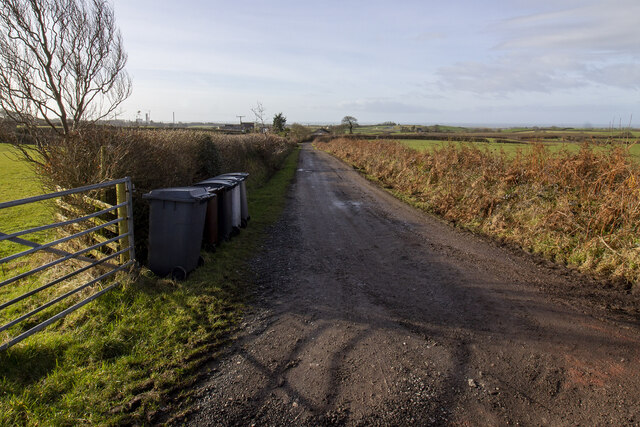
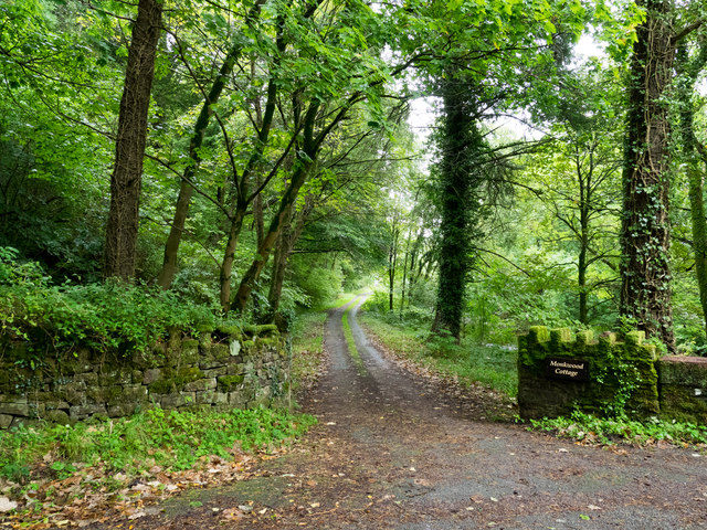
Brigholme Wood is a captivating forest located in the county of Cumberland, England. Encompassing an area of approximately 100 acres, this woodland jewel offers a tranquil and picturesque retreat for nature enthusiasts and hikers alike. Situated in close proximity to the charming village of Brigholme, the wood is easily accessible and attracts visitors throughout the year.
The forest is renowned for its diverse range of flora and fauna, providing a thriving habitat for an array of wildlife. Tall and majestic oak trees dominate the woodland, their branches intertwining to form a dense canopy that filters the sunlight, creating a serene and mystical atmosphere. Beneath the towering oaks, an understory of hazel and holly bushes provides a lush undergrowth, offering shelter and sustenance for smaller creatures.
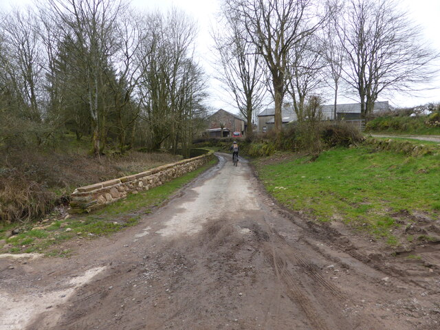
Brigholme Wood is crisscrossed by a network of well-maintained footpaths, allowing visitors to explore its natural wonders at their own pace. The trails wind through the forest, leading to hidden glades, babbling streams, and enchanting clearings. Nature enthusiasts can spot a variety of bird species, including woodpeckers, owls, and thrushes, while lucky observers might catch a glimpse of a shy roe deer or a red squirrel darting through the underbrush.
With its untouched beauty and peaceful ambiance, Brigholme Wood is a haven for those seeking a respite from the hustle and bustle of modern life. Whether visitors are looking for a leisurely stroll, a picnic spot, or simply a place to reconnect with nature, this captivating forest is sure to leave a lasting impression on all who venture within its leafy embrace.
If you have any feedback on the listing, please let us know in the comments section below.
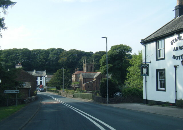
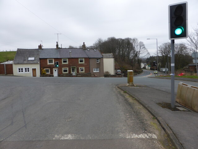
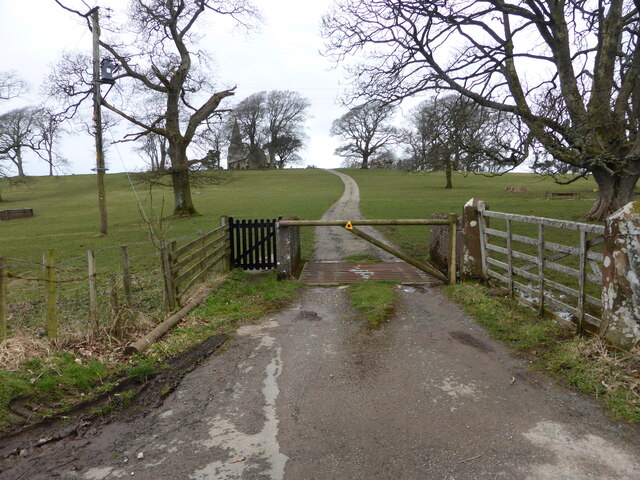
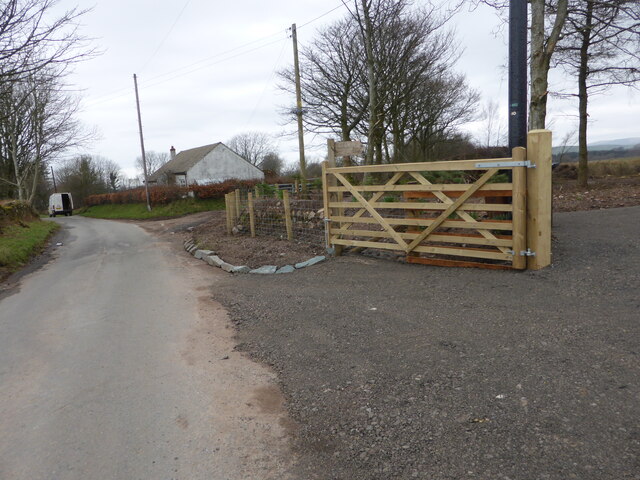
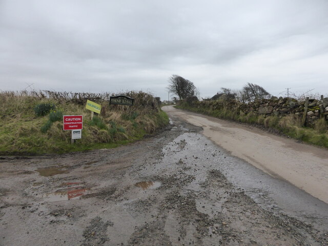
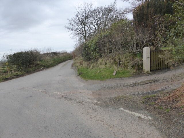
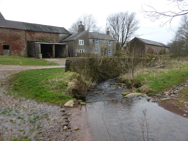
Brigholme Wood Images
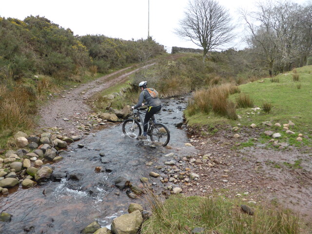
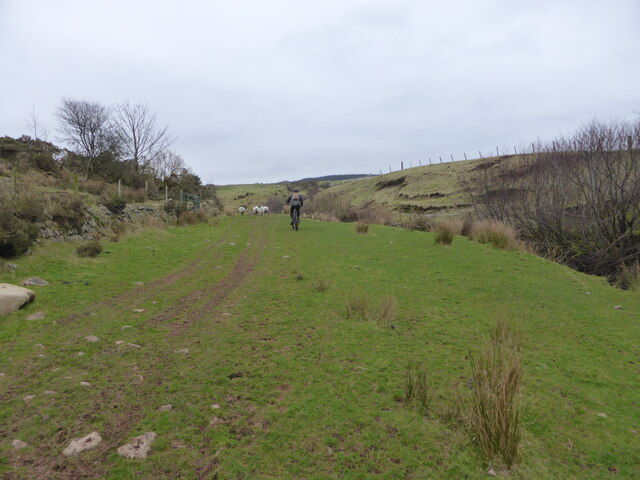
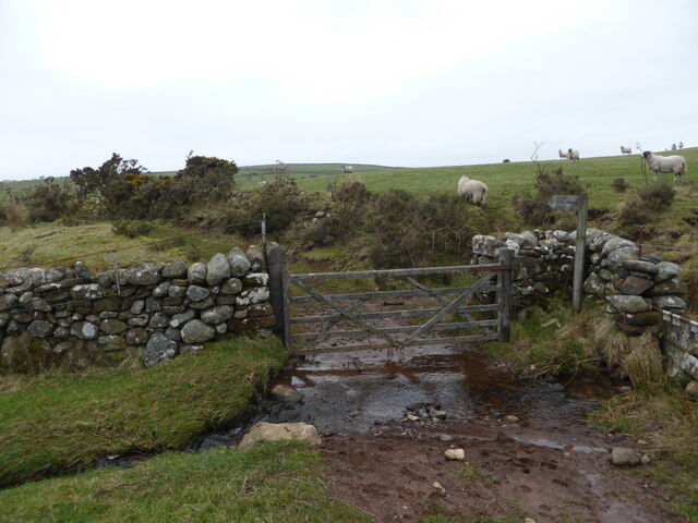
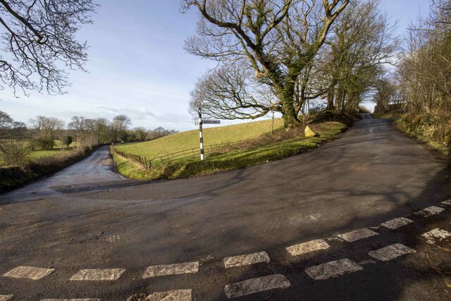
Images are sourced within 2km of 54.448461/-3.4572635 or Grid Reference NY0506. Thanks to Geograph Open Source API. All images are credited.

Brigholme Wood is located at Grid Ref: NY0506 (Lat: 54.448461, Lng: -3.4572635)
Administrative County: Cumbria
District: Copeland
Police Authority: Cumbria
What 3 Words
///confirms.blotting.carry. Near Egremont, Cumbria
Nearby Locations
Related Wikis

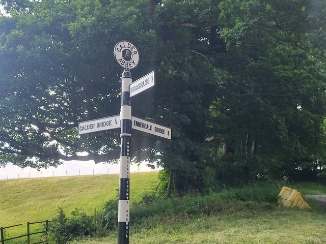
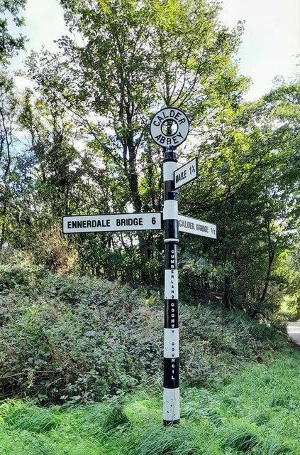
Calder Abbey
Calder Abbey in Cumbria was a Savigniac monastery founded in 1134 by Ranulph de Gernon, 2nd Earl of Chester, and moved to this site following a refoundation...
St Bridget's Church, Calder Bridge
St Bridget's Church is on the north side of the A595 road in the village of Calder Bridge, near Beckermet, Cumbria, England. It is an active Anglican parish...

Calder Bridge
Calder Bridge (also Calderbridge) is a small village in Cumbria in England. It is located between the hamlets of Gosforth and Beckermet and lies on the...
Cold Fell (Calder Bridge)
Cold Fell is a hill in the west of the English Lake District. It is easily climbed from the road between Ennerdale Bridge and Calder Bridge. This road...
Nearby Amenities
Located within 500m of 54.448461,-3.4572635Have you been to Brigholme Wood?
Leave your review of Brigholme Wood below (or comments, questions and feedback).