Chapelholme Wood

Wood, Forest in Cumberland Copeland

England

Chapelholme Wood

A595 at The Stanley Arms, Calder Bridge
A595 at The Stanley Arms, Calder Bridge Credit: Colin Pyle

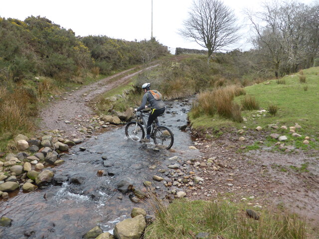
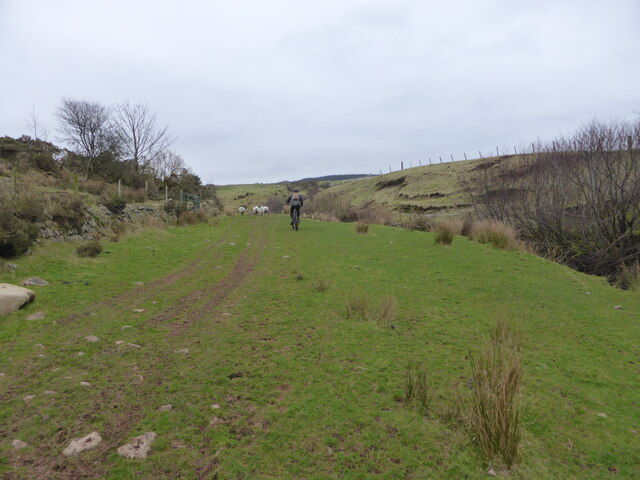
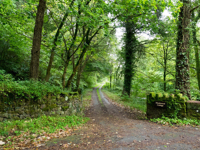
Chapelholme Wood, located in Cumberland, is a serene and picturesque woodland area that encompasses approximately 100 acres. It is nestled within the stunning landscapes of the Lake District National Park in northwest England. This ancient forest is renowned for its rich biodiversity and is a haven for nature enthusiasts and outdoor enthusiasts alike.

The woodland is predominantly composed of native broadleaf trees, including oak, birch, and beech, which provide a lush canopy and create a tranquil atmosphere. The forest floor is adorned with a vibrant carpet of wildflowers and ferns, adding to the enchanting ambience of the wood.

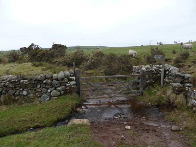
Chapelholme Wood is crisscrossed by a network of well-maintained walking trails, allowing visitors to explore its beauty and discover its hidden treasures. The paths wind through the forest, offering glimpses of various wildlife species such as deer, squirrels, and a variety of bird species. Nature lovers will be captivated by the serene beauty of the woodland, as well as the opportunity to observe and appreciate the diverse flora and fauna that call Chapelholme Wood their home.

In addition to its natural beauty, Chapelholme Wood also holds historical significance. A small chapel, dating back to the medieval period, is nestled within the woodland. This historical site adds an element of intrigue and charm, further enhancing the allure of the forest.

Whether it is for a leisurely walk, birdwatching, or simply seeking solace amidst nature, Chapelholme Wood offers a peaceful retreat for visitors to escape the hustle and bustle of everyday life and immerse themselves in the beauty of Cumberland's natural landscapes.

If you have any feedback on the listing, please let us know in the comments section below.

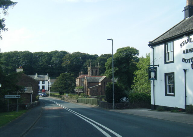
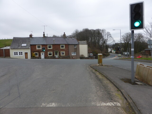
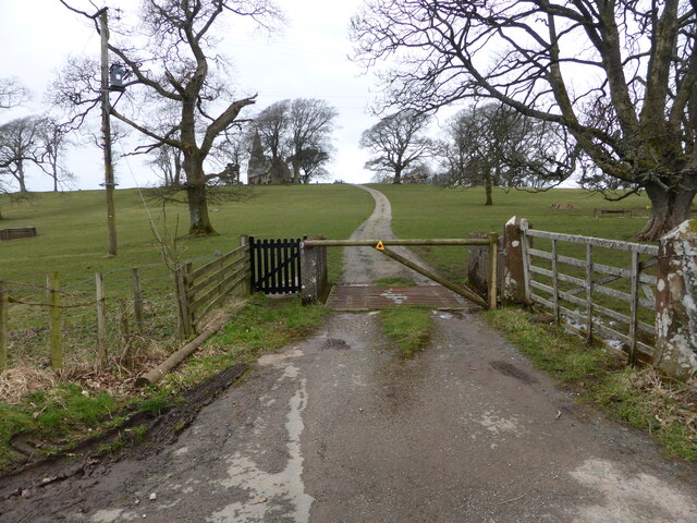
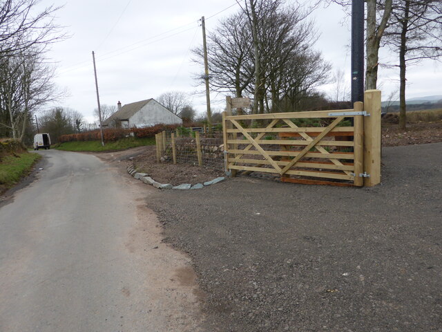
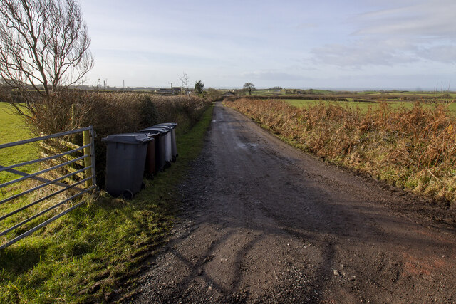
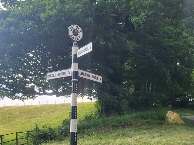
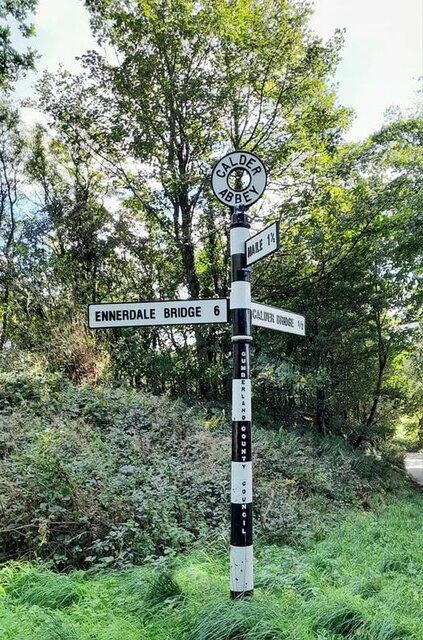
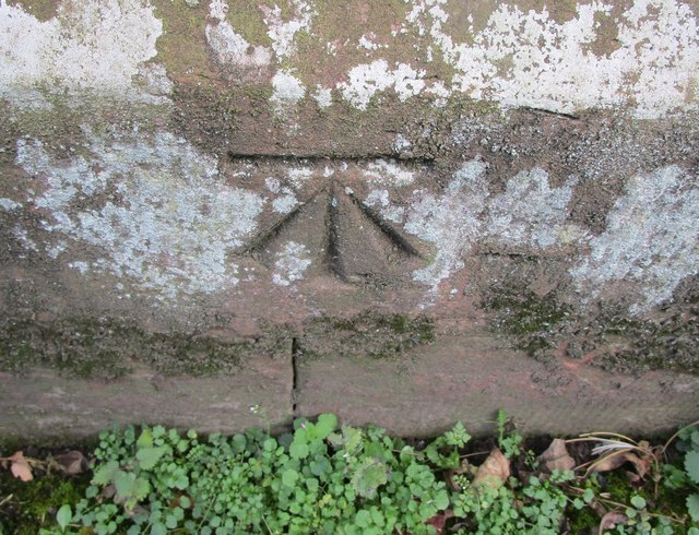
Chapelholme Wood Images

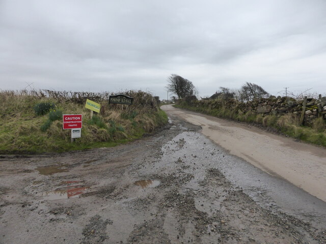
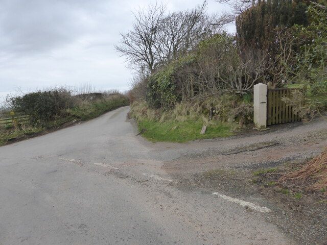
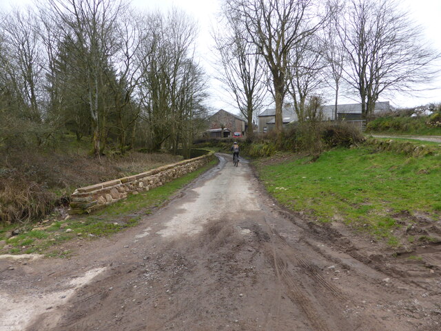
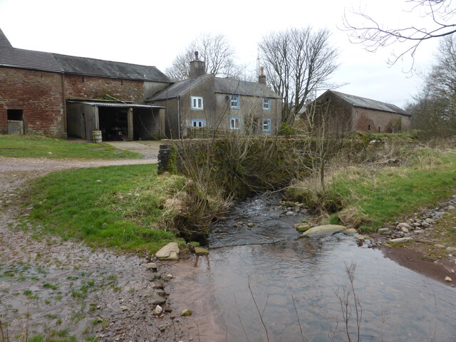
Images are sourced within 2km of 54.447675/-3.4598729 or Grid Reference NY0506. Thanks to Geograph Open Source API. All images are credited.

A595 at The Stanley Arms, Calder Bridge
Road junction at Calder Bridge This is a busy junction, serving one of the entry gates for Sellafield site.
Road junction at Calder Bridge
This is a busy junction, serving one of the entry gates for Sellafield site.
The driveway to Ponsonby Church
Where the bridleway to Ponsonby leaves the road
The lane to Ponsonby Old Hall
The lane to Gibb Hill Farm
The lane into Scargreen farm
Scargreen Beck at Scargreen farm
One of several fords near Scargreen farm
Bridleway alongside Scargreen Beck
A wet foot zone It isn't possible to open the gate without standing in Scargreen Beck.
A wet foot zone
It isn't possible to open the gate without standing in Scargreen Beck.
Hairpin bend and signpost
Farm track to Moor House Farm Farm track bounded by hedgerows
Farm track to Moor House Farm
Farm track bounded by hedgerows
Direction Sign – Signpost by the Cold Fell road near Calder Abbey Located on the northwest side of the junction of the Cold Fell Road and the road to Thornholme, near Calder Abbey. Ponsonby parish. 3 arms and annulus finial. See <a title="https://www.geograph.org.uk/photo/6093912" href="https://www.geograph.org.uk/photo/6093912">Link</a> for an older photo before two missing arms were replaced.

Milestone Society National ID: CU_NY0406B
Direction Sign – Signpost by the Cold Fell road near Calder Abbey
Located on the northwest side of the junction of the Cold Fell Road and the road to Thornholme, near Calder Abbey. Ponsonby parish. 3 arms and annulus finial. See Link for an older photo before two missing arms were replaced. Milestone Society National ID: CU_NY0406B
Direction Sign – Signpost Signpost on the Cold Fell Road in Ponsonby parish Located on the southeast side of the junction of the Cold Fell Road and the road to Haile in Ponsonby parish. 3 arms and annulus finial. See also <a title="https://www.geograph.org.uk/photo/6068800" href="https://www.geograph.org.uk/photo/6068800">Link</a> which shows this before it was refurbished.

Milestone Society National ID: CU_NY0406A
Direction Sign – Signpost Signpost on the Cold Fell Road in Ponsonby parish
Located on the southeast side of the junction of the Cold Fell Road and the road to Haile in Ponsonby parish. 3 arms and annulus finial. See also Link which shows this before it was refurbished. Milestone Society National ID: CU_NY0406A
Ordnance Survey Cut Mark This OS cut mark can be found on the NW face of St Bridget's Church. It marks a point 53.739m above mean sea level.
Ordnance Survey Cut Mark
This OS cut mark can be found on the NW face of St Bridget's Church. It marks a point 53.739m above mean sea level.
Access road for Monkwood Cottage The road by which the cottage is reached runs alongside the River Calder which passes beneath Stakes Bridge just to the right, out of the image.
Access road for Monkwood Cottage
The road by which the cottage is reached runs alongside the River Calder which passes beneath Stakes Bridge just to the right, out of the image.
Access road near to Calder Abbey The road is not an access route for the remains of the abbey itself but for another nearby property; it leaves a minor road east of Calder Bridge on its south side.
Access road near to Calder Abbey
The road is not an access route for the remains of the abbey itself but for another nearby property; it leaves a minor road east of Calder Bridge on its south side.
Show me another place!

Chapelholme Wood is located at Grid Ref: NY0506 (Lat: 54.447675, Lng: -3.4598729)

Administrative County: Cumbria

District: Copeland

Police Authority: Cumbria

What 3 Words

///lung.sliders.reporters. Near Seascale, Cumbria

Related Wikis

Calder Abbey

Calder Abbey in Cumbria was a Savigniac monastery founded in 1134 by Ranulph de Gernon, 2nd Earl of Chester, and moved to this site following a refoundation...

St Bridget's Church, Calder Bridge

St Bridget's Church is on the north side of the A595 road in the village of Calder Bridge, near Beckermet, Cumbria, England. It is an active Anglican parish...

Calder Bridge

Calder Bridge (also Calderbridge) is a small village in Cumbria in England. It is located between the hamlets of Gosforth and Beckermet and lies on the...

Ponsonby, Cumbria

Ponsonby is a village and civil parish in the Borough of Copeland of the county of Cumbria, England. Ponsonby has a church which was constructed in 1840...

Nearby Amenities

Located within 500m of 54.447675,-3.4598729
Barrier: stile
Lat/Long: 54.4467988/-3.4606681
Barrier: stile
Lat/Long: 54.4456099/-3.4654772
Waterway: waterfall
Lat/Long: 54.4465414/-3.4542471
Abbey Flatts
Place: locality
Lat/Long: 54.4511206/-3.4619733
Abbey Wood
Place: locality
Lat/Long: 54.4450319/-3.4580212
Stakesbridge Wood
Place: locality
Lat/Long: 54.4469762/-3.457785
Chapelholme Wood
Place: locality
Lat/Long: 54.4480314/-3.4591151
Power: pole
Lat/Long: 54.4469866/-3.467333
Power: pole
Lat/Long: 54.447802/-3.4675769
The data included in this document is from www.openstreetmap.org. The data is made available under ODbL.

Have you been to Chapelholme Wood?

Leave your review of Chapelholme Wood below (or comments, questions and feedback).