In Fell
Downs, Moorland in Cumberland Copeland
England
In Fell
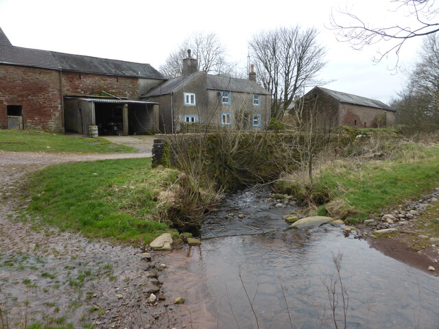
In Fell, Cumberland (Downs, Moorland) is a picturesque area located in the county of Cumberland in northwest England. Known for its stunning natural beauty, this region is characterized by its rolling hills, vast moorlands, and scenic valleys. The area is predominantly rural and sparsely populated, offering a peaceful and tranquil environment for visitors.
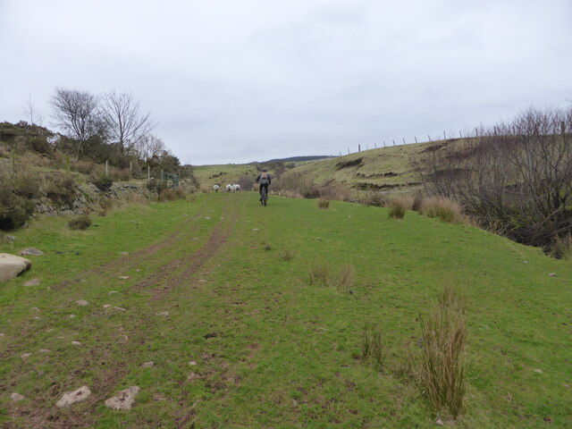
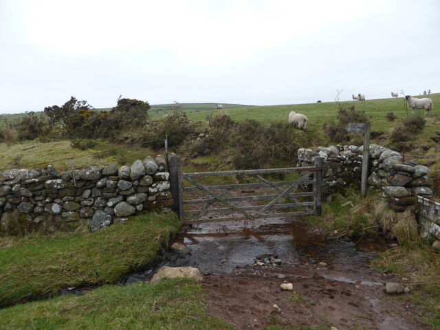
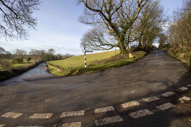
The landscape of In Fell, Cumberland is dominated by the fells, which are high, rounded hills that provide breathtaking panoramic views of the surrounding countryside. These fells are covered in heather and grass, creating a vibrant and colorful display during the summer months. The moorlands, on the other hand, are vast stretches of open land that are home to a variety of wildlife, including birds, deer, and rare plant species.
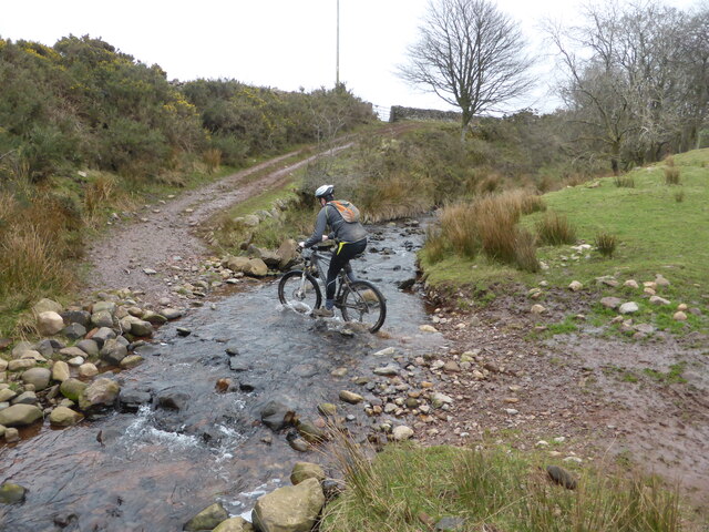
The area is a popular destination for outdoor enthusiasts, offering numerous opportunities for hiking, walking, and cycling. There are several well-marked trails that wind through the fells and moorlands, allowing visitors to explore the area at their own pace. Additionally, the region is dotted with charming villages and historic sites, providing cultural and historical interest to visitors.
In Fell, Cumberland is also known for its strong agricultural heritage, with farming being a key industry in the area. Visitors can witness traditional farming practices and may even have the opportunity to sample locally produced food and drink.
Overall, In Fell, Cumberland (Downs, Moorland) is a captivating region that combines stunning natural landscapes with rich cultural and historical heritage, making it a must-visit destination for nature lovers and history enthusiasts alike.
If you have any feedback on the listing, please let us know in the comments section below.
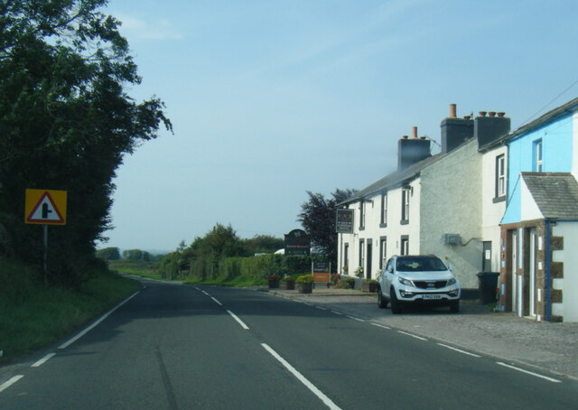
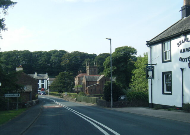
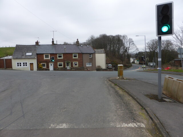
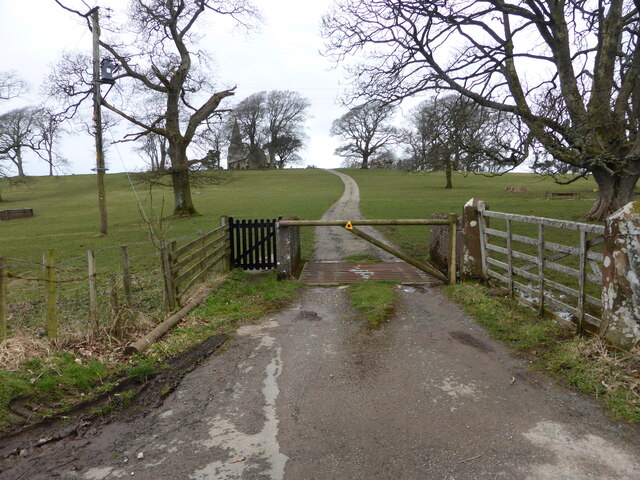
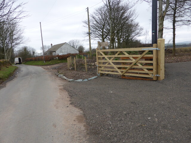
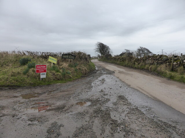
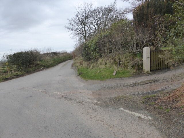
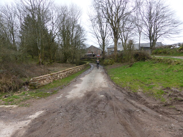
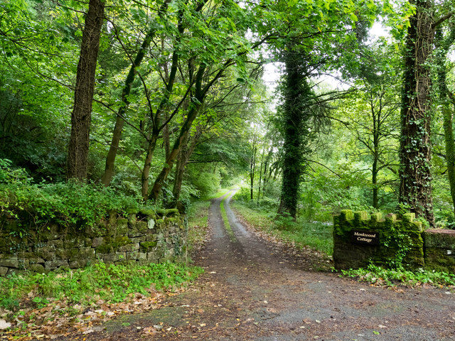
In Fell Images
Images are sourced within 2km of 54.441394/-3.4530187 or Grid Reference NY0506. Thanks to Geograph Open Source API. All images are credited.

In Fell is located at Grid Ref: NY0506 (Lat: 54.441394, Lng: -3.4530187)
Administrative County: Cumbria
District: Copeland
Police Authority: Cumbria
What 3 Words
///crispier.breathing.massaged. Near Seascale, Cumbria
Nearby Locations
Related Wikis

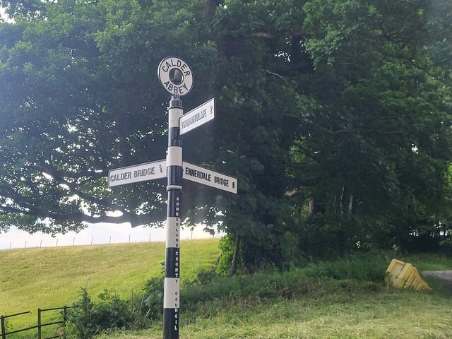
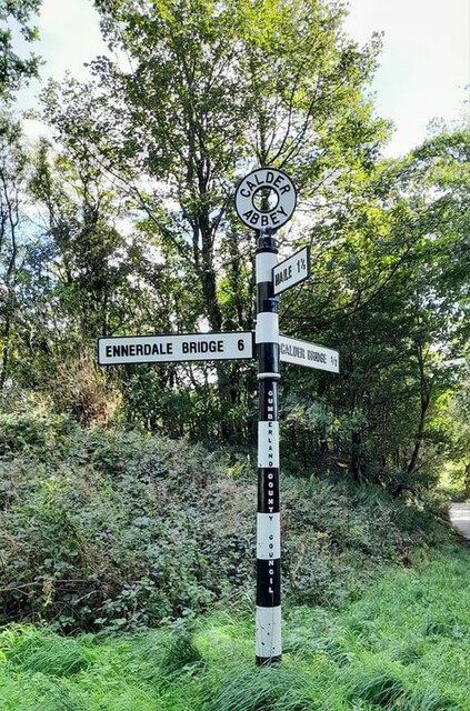
Calder Abbey
Calder Abbey in Cumbria was a Savigniac monastery founded in 1134 by Ranulph de Gernon, 2nd Earl of Chester, and moved to this site following a refoundation...

Ponsonby, Cumbria
Ponsonby is a village and civil parish in the Borough of Copeland of the county of Cumbria, England. Ponsonby has a church which was constructed in 1840...
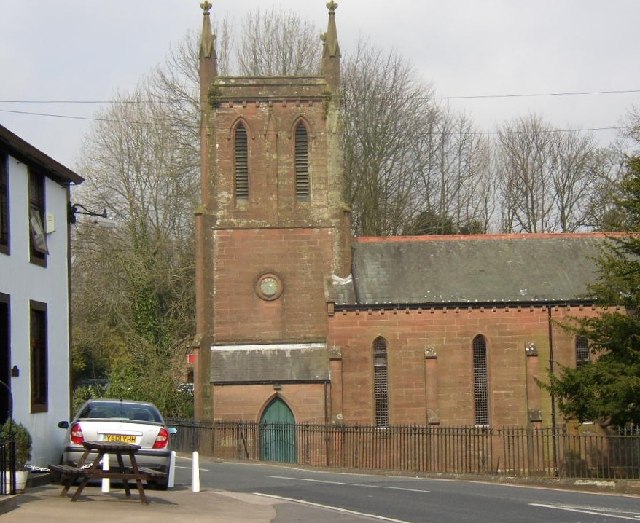
St Bridget's Church, Calder Bridge
St Bridget's Church is on the north side of the A595 road in the village of Calder Bridge, near Beckermet, Cumbria, England. It is an active Anglican parish...

Calder Bridge
Calder Bridge (also Calderbridge) is a small village in Cumbria in England. It is located between the hamlets of Gosforth and Beckermet and lies on the...
Nearby Amenities
Located within 500m of 54.441394,-3.4530187Have you been to In Fell?
Leave your review of In Fell below (or comments, questions and feedback).