Kyrle Covert

Wood, Forest in Somerset Somerset West and Taunton

England

Kyrle Covert

Ashbrittle Yew in the churchyard Said to be over 3000 years old
Ashbrittle Yew in the churchyard Credit: Rob Purvis

Kyrle Covert is a small woodland area located in Somerset, England. Situated within the larger Kyrle Covert Forest, it covers an approximate area of 200 acres. The forest is named after the Kyrle family, who were historically important landowners in the region.

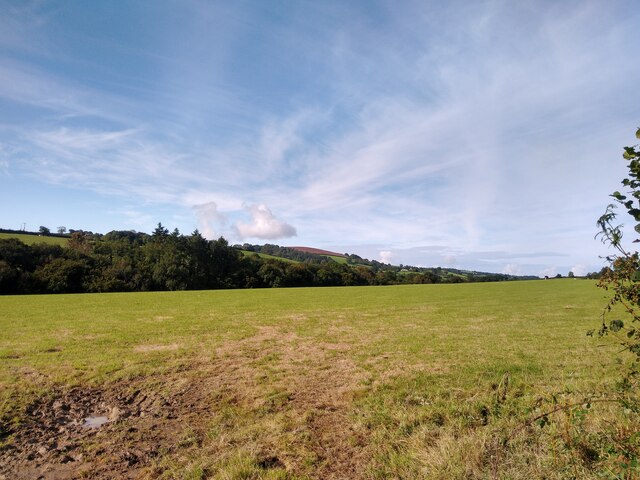
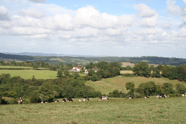
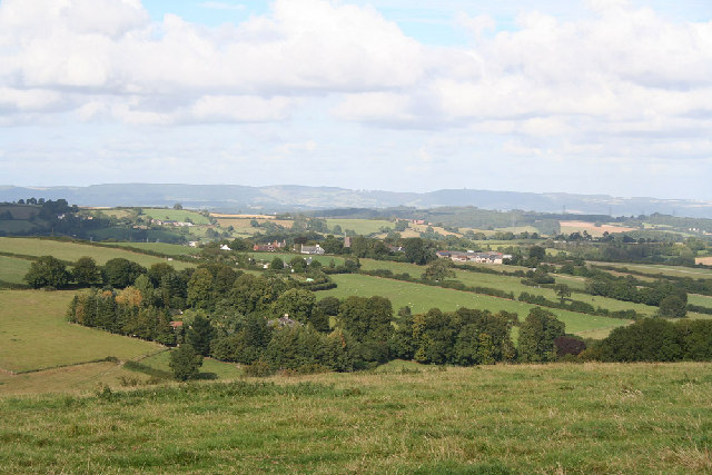
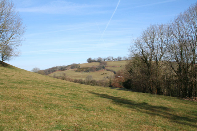
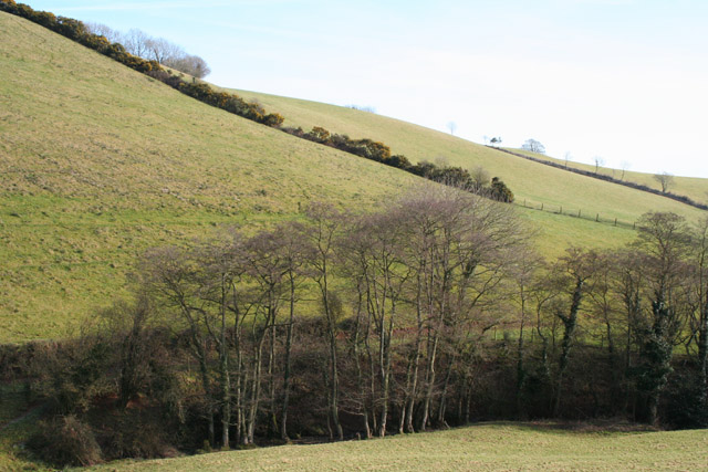
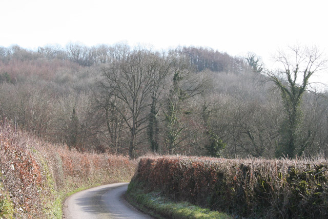
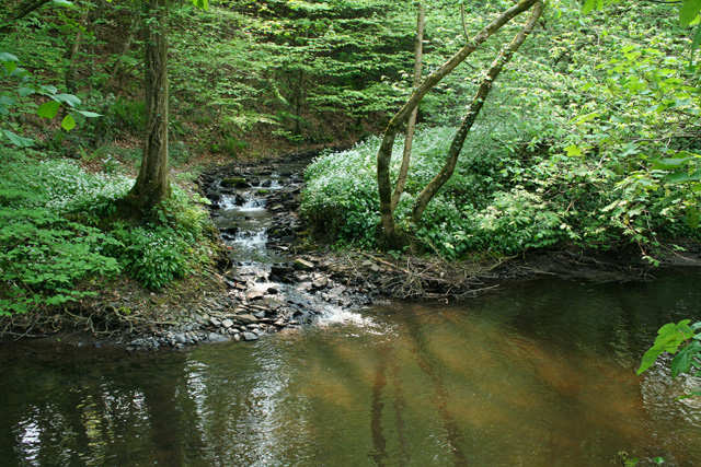
The woodland is characterized by a diverse range of trees, including oak, beech, and ash, which provide a rich habitat for various species of wildlife. It is renowned for its picturesque beauty, with a dense canopy of trees creating a tranquil and serene atmosphere.

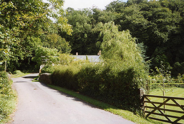
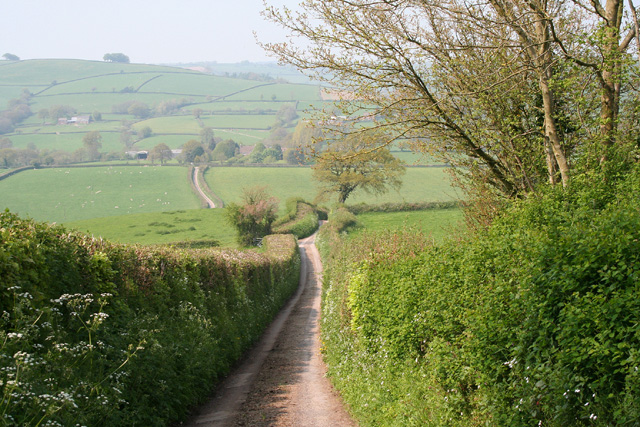
Kyrle Covert offers a variety of recreational activities for visitors. It boasts several well-maintained walking trails that allow nature enthusiasts to explore the forest at their own pace and admire its natural beauty. The forest also features designated areas for picnicking, making it a popular spot for families and groups to enjoy a day out in nature.

The management of Kyrle Covert is overseen by the local authorities, who ensure its preservation and conservation. Regular maintenance activities such as tree planting, pruning, and clearing pathways are carried out to enhance the overall experience for visitors.

Overall, Kyrle Covert is a charming woodland area in Somerset, providing a peaceful retreat for nature lovers. With its beautiful scenery and recreational opportunities, it offers a wonderful escape from the hustle and bustle of everyday life.

If you have any feedback on the listing, please let us know in the comments section below.
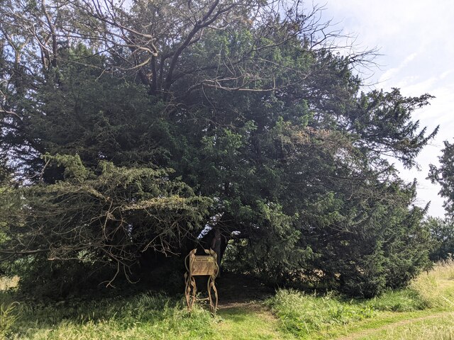
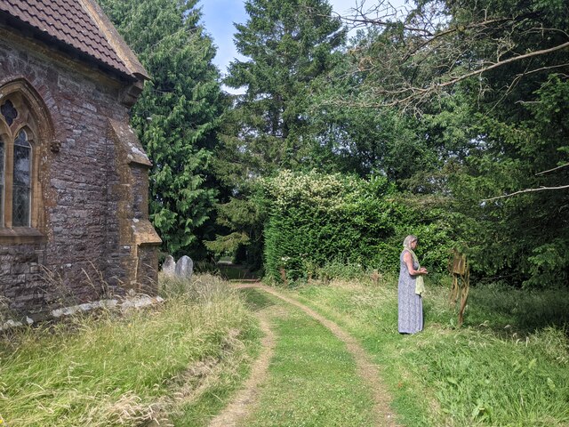
Kyrle Covert Images

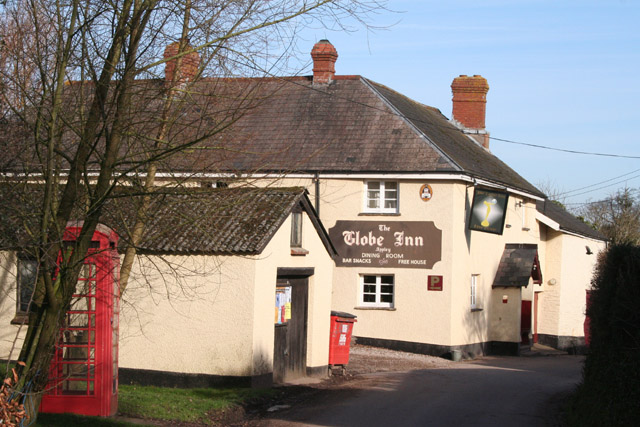
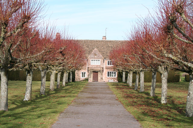
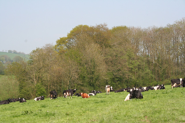
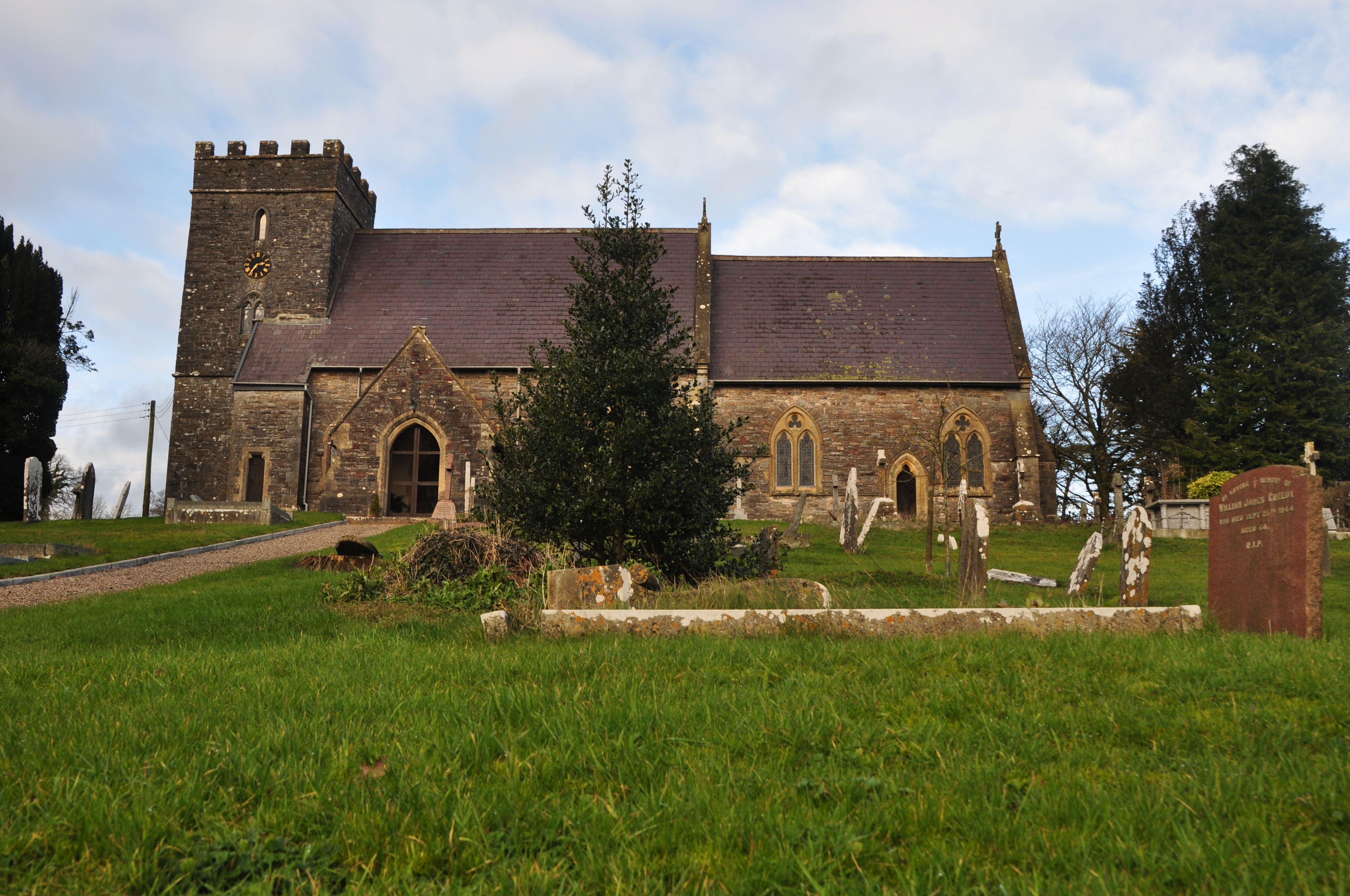
Images are sourced within 2km of 50.989072/-3.3489493 or Grid Reference ST0521. Thanks to Geograph Open Source API. All images are credited.
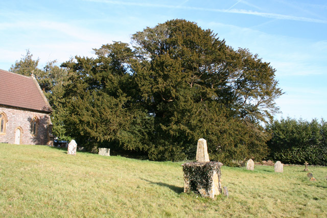
Ashbrittle Yew in the churchyard Said to be over 3000 years old
Ashbrittle Yew in the churchyard
Said to be over 3000 years old
Visiting the Ashbrittle Yew at the church
Junction at Waldron's Cross, looking east
Entering Ashbrittle from the west
View from NCN344 near Stawley Mill Photograph taken looking north west from the NCN344 just north of Stawley Mill.
View from NCN344 near Stawley Mill
Photograph taken looking north west from the NCN344 just north of Stawley Mill.
Holcombe Rogus: east to Bishop's Barton Bishop's Barton is in the parish of Stawley, across the river Tone
Holcombe Rogus: east to Bishop's Barton
Bishop's Barton is in the parish of Stawley, across the river Tone
Hockworthy: north east to Ashbrittle On the border of Devon and Somerset: Ashbrittle church, in Somerset, centre of image. The Quantocks are on the horizon. Viewed from the Lea Barton - Staple Cross lane in Devon
Hockworthy: north east to Ashbrittle
On the border of Devon and Somerset: Ashbrittle church, in Somerset, centre of image. The Quantocks are on the horizon. Viewed from the Lea Barton - Staple Cross lane in Devon
Stawley: near Stawley Mill In the Tone valley. Stawley Mill is now a private house. The bridge in the foreground crosses a small tributary of the Tone. The latter runs to the right of the image, beyond the gate and field
Stawley: near Stawley Mill
In the Tone valley. Stawley Mill is now a private house. The bridge in the foreground crosses a small tributary of the Tone. The latter runs to the right of the image, beyond the gate and field
Stawley: The Globe In the hamlet of Appley, this public house has a good reputation for food. Looking north
Stawley: The Globe
In the hamlet of Appley, this public house has a good reputation for food. Looking north
Stawley: St Michael’s Church Robin Bush, who wrote ‘Somerset, The Complete Guide’ [The Dovecote Press, 1994], regards Stawley church as one of his favourites. It stands somewhat remote above the valley of the river Tone. Looking north
Stawley: St Michael’s Church
Robin Bush, who wrote ‘Somerset, The Complete Guide’ [The Dovecote Press, 1994], regards Stawley church as one of his favourites. It stands somewhat remote above the valley of the river Tone. Looking north
Ashbrittle: in the Tone valley On the West Deane Way, below Hagley Wood and looking north towards
Hagley Bridge. The West Deane Way is a 45-mile circular walk – details from Somerset County Council.
Ashbrittle: in the Tone valley
On the West Deane Way, below Hagley Wood and looking north towards Hagley Bridge. The West Deane Way is a 45-mile circular walk – details from Somerset County Council.
Ashbrittle: Pockeridge Bottom Seen from the lane between Combe and Norman’s Farm. Looking east
Ashbrittle: Pockeridge Bottom
Seen from the lane between Combe and Norman’s Farm. Looking east
Ashbrittle: Waldron’s Farm The formal entrance, looking north
Ashbrittle: Waldron’s Farm
The formal entrance, looking north
Ashbrittle: towards the Tone valley Looking east on the lane from Waldron’s Cross, on a bright February day
Ashbrittle: towards the Tone valley
Looking east on the lane from Waldron’s Cross, on a bright February day
Ashbrittle: the Ashbrittle Yew Reputed to be 3000 years old, this tree was standing when Stonehenge was in use. Clearly it predates the adjoining church by millennia and it may mark a holy place or commemorate a battle site. Whatever its origins, it is thought to be one of the oldest living things in Britain. Looking east
Ashbrittle: the Ashbrittle Yew
Reputed to be 3000 years old, this tree was standing when Stonehenge was in use. Clearly it predates the adjoining church by millennia and it may mark a holy place or commemorate a battle site. Whatever its origins, it is thought to be one of the oldest living things in Britain. Looking east
Holcombe Rogus: the Tone at Tracebridge Confluence of the river Tone with its tributary the Morecombe Lake just downstream from the bridge, with wild garlic in flower. Three parishes meet here: Holcombe Rogus, Ashbrittle and Stawley. Looking west-south-west
Holcombe Rogus: the Tone at Tracebridge
Confluence of the river Tone with its tributary the Morecombe Lake just downstream from the bridge, with wild garlic in flower. Three parishes meet here: Holcombe Rogus, Ashbrittle and Stawley. Looking west-south-west
Ashbrittle: Pool Hill Looking north from Golden Gate. Pool Hill leads to Waldrons Cross
Ashbrittle: Pool Hill
Looking north from Golden Gate. Pool Hill leads to Waldrons Cross
Ashbrittle: cattle in a field near Greedys A herd of Friesians. Looking east from the lane to Northcott Farm
Ashbrittle: cattle in a field near Greedys
A herd of Friesians. Looking east from the lane to Northcott Farm
Show me another place!

Kyrle Covert is located at Grid Ref: ST0521 (Lat: 50.989072, Lng: -3.3489493)

Administrative County: Somerset

District: Somerset West and Taunton

Police Authority: Avon and Somerset

What 3 Words

///linen.distilled.tabs. Near Wiveliscombe, Somerset

Related Wikis

Nearby Amenities

Located within 500m of 50.989072,-3.3489493
The data included in this document is from www.openstreetmap.org. The data is made available under ODbL.

Have you been to Kyrle Covert?

Leave your review of Kyrle Covert below (or comments, questions and feedback).