Beech Copse
Wood, Forest in Devon Mid Devon
England
Beech Copse

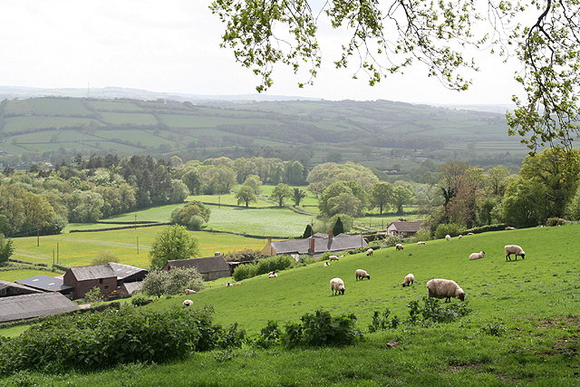
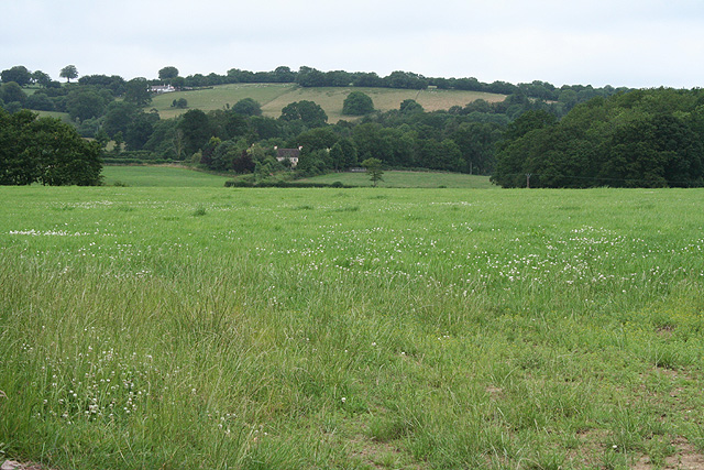
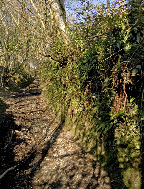
Beech Copse, located in the county of Devon in southwestern England, is a picturesque woodland area renowned for its stunning natural beauty and diverse ecosystem. Spanning approximately 100 acres, this ancient beech forest is a haven for nature enthusiasts and outdoor adventurers alike.
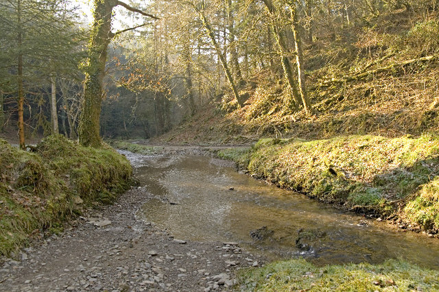
The copse is characterized by its dense canopy of towering beech trees, which create a cool and shaded environment even on hot summer days. The trees, many of which are several hundred years old, stand tall and majestic, forming a dense network of branches that provide a habitat for a wide array of flora and fauna.
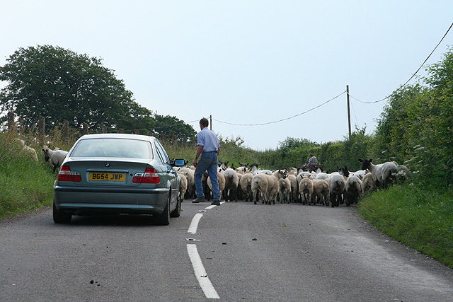
Walking through Beech Copse, visitors are greeted by a rich undergrowth of wildflowers, ferns, and mosses, adding vibrant splashes of color to the woodland floor. The forest is also home to a variety of wildlife, including deer, foxes, badgers, and a diverse range of bird species. Birdwatchers can spot woodpeckers, owls, and thrushes among the branches, while nature enthusiasts can enjoy the sights and sounds of woodland creatures going about their daily routines.
Throughout the year, Beech Copse offers a tranquil and enchanting escape from the hustle and bustle of everyday life. Whether it's a leisurely stroll along the well-maintained footpaths, a picnic under the shade of the beech trees, or a spot of birdwatching, this ancient woodland provides a serene and rejuvenating experience for visitors of all ages.
Managed by local conservation organizations, Beech Copse is a cherished natural treasure in Devon, attracting visitors from far and wide who seek solace in its serene beauty and discover the wonders of the British countryside.
If you have any feedback on the listing, please let us know in the comments section below.
Beech Copse Images
Images are sourced within 2km of 51.021946/-3.4713564 or Grid Reference SS9625. Thanks to Geograph Open Source API. All images are credited.


Beech Copse is located at Grid Ref: SS9625 (Lat: 51.021946, Lng: -3.4713564)
Administrative County: Devon
District: Mid Devon
Police Authority: Devon and Cornwall
What 3 Words
///goggle.lifelong.grove. Near Dulverton, Somerset
Nearby Locations
Related Wikis

Morebath
Morebath is an upland village in the county of Devon, England. It is mostly given over to sheep-farming, and situated on the southern edge of Exmoor. An...

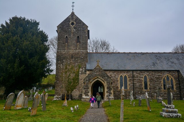
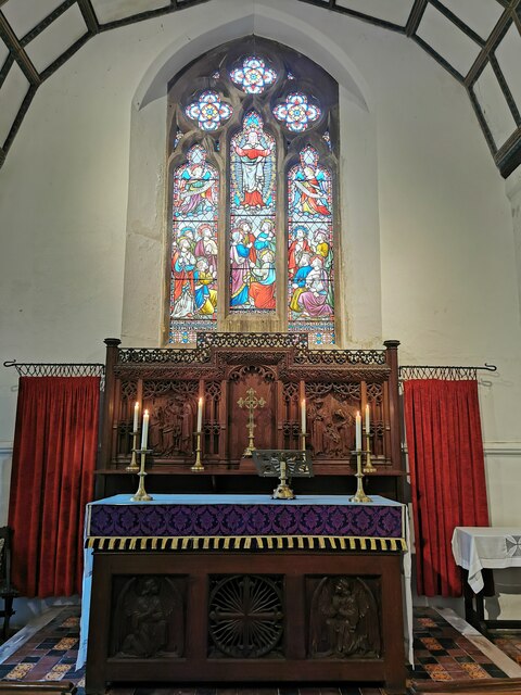
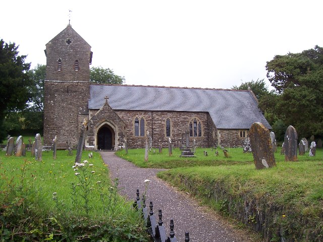
St George's Church, Morebath
St George's Church, Morebath is a Grade II* listed parish church in the Church of England Diocese of Exeter in Morebath, Devon. It is part of the Hukeley...

Morebath Junction railway station
Morebath Junction Halt was a railway halt near the junction of the Devon and Somerset Railway and Exe Valley Railway in Devon, South West England. �...

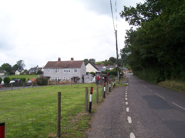
Shillingford, Devon
Shillingford is a village two miles (3 km) northeast of Bampton on the River Batherm in Mid Devon, England, close to the border with West Somerset. It...

Church of St John, Skilgate
The Anglican Church of St John in Skilgate, Somerset, England was built in the 14th century. It is a Grade II* listed building. == History == The church...
Skilgate
Skilgate is a village and civil parish 5 miles (8 km) east of Dulverton and 8 miles (13 km) west of Wiveliscombe in the Somerset West and Taunton district...

Bury Bridge
Bury Bridge at Bury in the parish of Brompton Regis within the English county of Somerset is a medieval packhorse bridge. It has been scheduled as an ancient...

Bury Castle, Brompton Regis
Bury Castle near Brompton Regis in the English county of Somerset was an Iron Age univallate hillfort which was reused with the creation of a motte after...
Nearby Amenities
Located within 500m of 51.021946,-3.4713564Have you been to Beech Copse?
Leave your review of Beech Copse below (or comments, questions and feedback).