Claypits
Settlement in Devon Mid Devon
England
Claypits

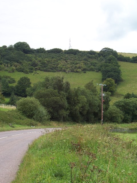
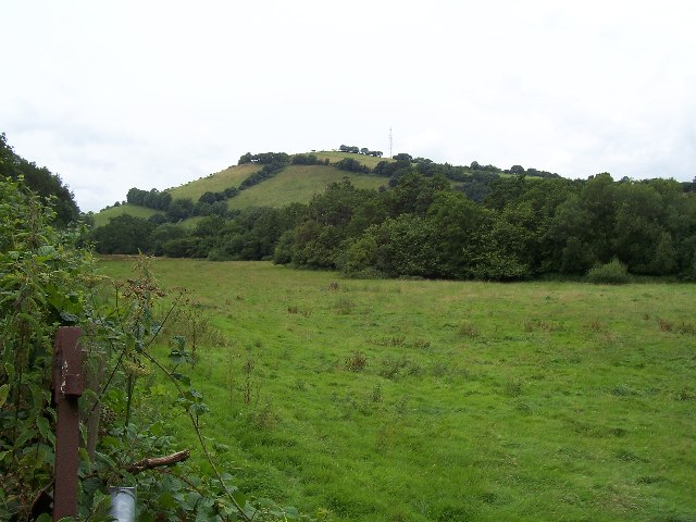
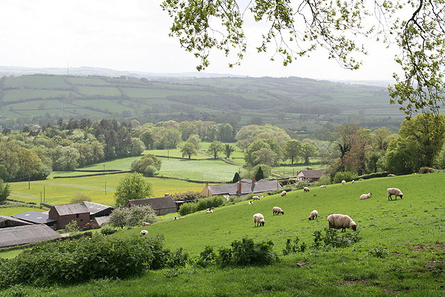
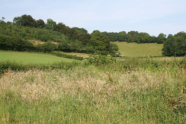
Claypits is a small village located in the county of Devon, England. Situated on the eastern edge of Dartmoor National Park, it is surrounded by picturesque countryside and offers a tranquil and rural setting for its residents and visitors alike.
The village is known for its historical significance, with evidence of human settlement dating back to the Bronze Age. The name "Claypits" is derived from the local clay deposits that were once used for pottery production. The clay industry played a significant role in the village's economy during the 19th and early 20th centuries.
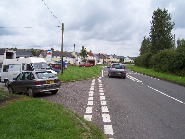
Today, Claypits retains much of its traditional charm and character, with a mix of older, stone-built cottages and more modern houses. The village has a close-knit community, and residents can enjoy a peaceful lifestyle away from the hustle and bustle of larger towns and cities.
Nature enthusiasts are drawn to Claypits for its proximity to Dartmoor National Park, which offers a range of outdoor activities such as hiking, cycling, and wildlife spotting. The village also boasts several walking trails that take visitors through the surrounding countryside, providing breathtaking views of rolling hills, meadows, and woodlands.
Despite its small size, Claypits has a few amenities to cater to the needs of its residents. These include a village hall, a local pub, and a small convenience store. For more extensive shopping and entertainment options, residents often travel to nearby towns such as Exeter or Plymouth.
In conclusion, Claypits is a charming village in Devon, offering a peaceful and idyllic lifestyle amidst picturesque natural surroundings. Its rich history and proximity to Dartmoor National Park make it an attractive destination for those seeking a quiet retreat in the heart of the English countryside.
If you have any feedback on the listing, please let us know in the comments section below.
Claypits Images
Images are sourced within 2km of 51.018319/-3.4722966 or Grid Reference SS9625. Thanks to Geograph Open Source API. All images are credited.


Claypits is located at Grid Ref: SS9625 (Lat: 51.018319, Lng: -3.4722966)
Administrative County: Devon
District: Mid Devon
Police Authority: Devon and Cornwall
What 3 Words
///handwriting.musically.tidy. Near Dulverton, Somerset
Nearby Locations
Related Wikis

Morebath
Morebath is an upland village in the county of Devon, England. It is mostly given over to sheep-farming, and situated on the southern edge of Exmoor. An...

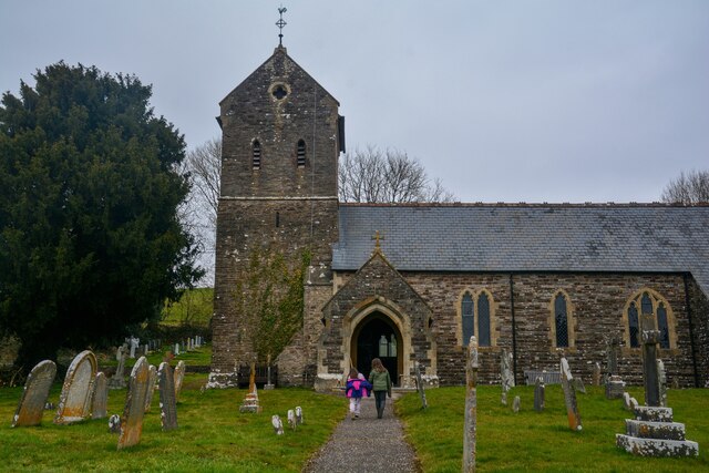
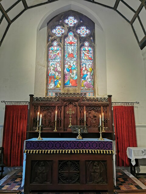
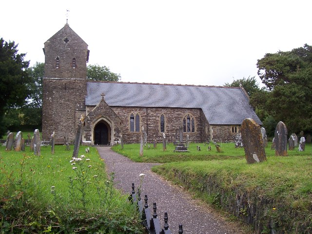
St George's Church, Morebath
St George's Church, Morebath is a Grade II* listed parish church in the Church of England Diocese of Exeter in Morebath, Devon. It is part of the Hukeley...

Morebath Junction railway station
Morebath Junction Halt was a railway halt near the junction of the Devon and Somerset Railway and Exe Valley Railway in Devon, South West England. �...

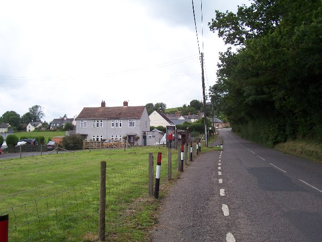
Shillingford, Devon
Shillingford is a village two miles (3 km) northeast of Bampton on the River Batherm in Mid Devon, England, close to the border with West Somerset. It...

Church of St John, Skilgate
The Anglican Church of St John in Skilgate, Somerset, England was built in the 14th century. It is a Grade II* listed building. == History == The church...
Skilgate
Skilgate is a village and civil parish 5 miles (8 km) east of Dulverton and 8 miles (13 km) west of Wiveliscombe in the Somerset West and Taunton district...

Bampton Castle, Devon
Bampton Castle in the parish of Bampton, Devon was the seat of the feudal barony of Bampton. It is located on a spur that overlooks the River Batherm....

Bury Bridge
Bury Bridge at Bury in the parish of Brompton Regis within the English county of Somerset is a medieval packhorse bridge. It has been scheduled as an ancient...
Nearby Amenities
Located within 500m of 51.018319,-3.4722966Have you been to Claypits?
Leave your review of Claypits below (or comments, questions and feedback).