Furze Brake
Wood, Forest in Devon Mid Devon
England
Furze Brake

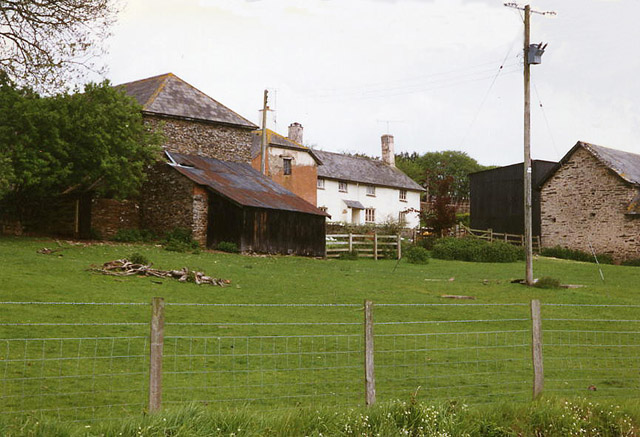
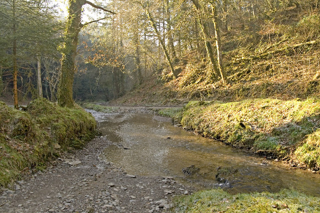
Furze Brake is a picturesque wood located in Devon, a county in southwestern England. Situated on the outskirts of a small village, this forested area covers an approximate area of 50 acres. Its name "Furze Brake" is derived from the abundance of gorse bushes that grow throughout the woodland, providing a vibrant burst of yellow flowers during the spring and summer months.
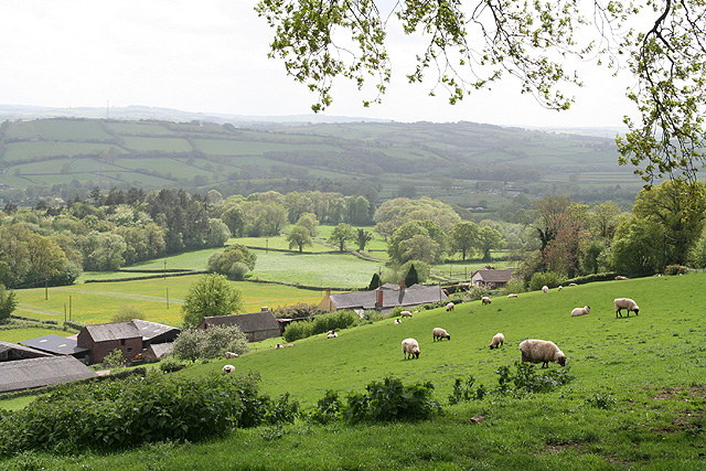
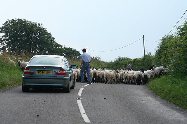
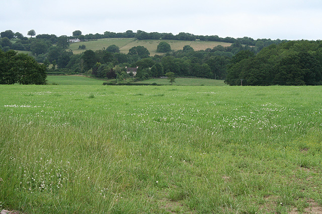
The terrain of Furze Brake is varied, with undulating hills, meandering streams, and dense foliage. The wood is primarily made up of native tree species such as oak, beech, and ash, creating a thriving ecosystem for local wildlife. Visitors to Furze Brake can expect to encounter a diverse range of fauna, including deer, foxes, badgers, and a plethora of bird species.
Walking trails have been established within Furze Brake, allowing visitors to explore the woodland at their own pace. These trails wind through the trees, offering stunning views of the surrounding countryside. The wood also features several picnic areas, providing a perfect spot for visitors to relax and enjoy the peaceful atmosphere.
Furze Brake is a popular destination for nature enthusiasts, hikers, and families seeking a tranquil escape from the hustle and bustle of everyday life. The wood provides ample opportunities for wildlife observation, photography, and simply enjoying the natural beauty of the area.
Overall, Furze Brake is a charming woodland in Devon, offering a serene and idyllic setting for anyone seeking a connection with nature.
If you have any feedback on the listing, please let us know in the comments section below.
Furze Brake Images
Images are sourced within 2km of 51.022786/-3.4732224 or Grid Reference SS9625. Thanks to Geograph Open Source API. All images are credited.


Furze Brake is located at Grid Ref: SS9625 (Lat: 51.022786, Lng: -3.4732224)
Administrative County: Devon
District: Mid Devon
Police Authority: Devon and Cornwall
What 3 Words
///cropping.drummers.atoms. Near Dulverton, Somerset
Nearby Locations
Related Wikis

Morebath
Morebath is an upland village in the county of Devon, England. It is mostly given over to sheep-farming, and situated on the southern edge of Exmoor. An...

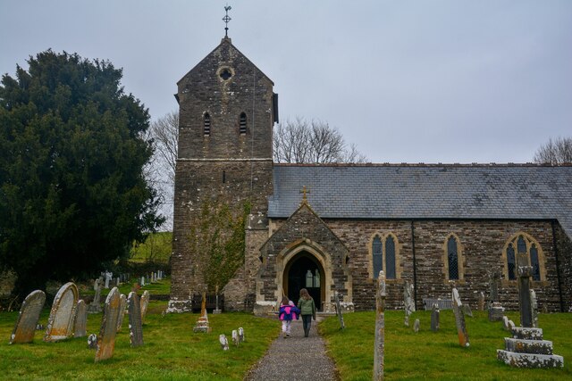
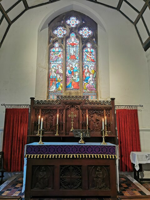
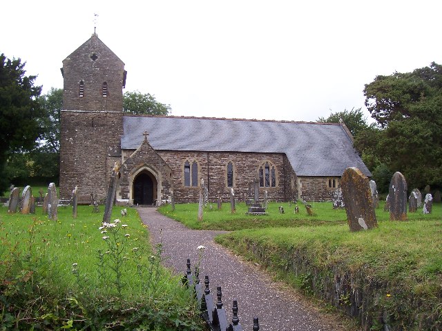
St George's Church, Morebath
St George's Church, Morebath is a Grade II* listed parish church in the Church of England Diocese of Exeter in Morebath, Devon. It is part of the Hukeley...

Morebath Junction railway station
Morebath Junction Halt was a railway halt near the junction of the Devon and Somerset Railway and Exe Valley Railway in Devon, South West England. �...

Church of St John, Skilgate
The Anglican Church of St John in Skilgate, Somerset, England was built in the 14th century. It is a Grade II* listed building. == History == The church...
Nearby Amenities
Located within 500m of 51.022786,-3.4732224Have you been to Furze Brake?
Leave your review of Furze Brake below (or comments, questions and feedback).