Loyton Plantation
Wood, Forest in Devon Mid Devon
England
Loyton Plantation

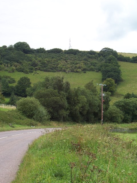
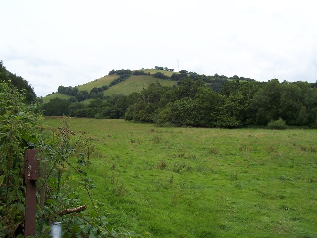
Loyton Plantation is a picturesque woodland area located in Devon, England. Situated within the sprawling countryside, this plantation is known for its lush greenery, diverse flora, and tranquil atmosphere. Spanning over several acres, Loyton Plantation offers a serene escape for nature enthusiasts and those seeking a peaceful retreat.
The plantation is predominantly covered in deciduous trees, including oak, beech, and ash, which create a beautiful canopy providing shade and shelter for various wildlife species. The forest floor is adorned with an array of colorful wildflowers, adding to the plantation's natural charm.
Visitors to Loyton Plantation can enjoy leisurely walks along the well-maintained trails that wind through the woodland. These paths offer opportunities to spot a variety of birds, such as woodpeckers and owls, as well as small mammals like squirrels and rabbits. Nature lovers may also come across occasional deer sightings, adding to the plantation's enchanting ambiance.
Loyton Plantation is a popular destination for outdoor activities such as picnicking, birdwatching, and photography. The pristine surroundings provide ample opportunities for capturing stunning images of the natural landscape throughout the seasons.
Overall, Loyton Plantation in Devon is a haven of tranquility and natural beauty. With its diverse flora, abundant wildlife, and well-maintained trails, it offers visitors an idyllic location to immerse themselves in the charm of the English countryside.
If you have any feedback on the listing, please let us know in the comments section below.
Loyton Plantation Images
Images are sourced within 2km of 51.015952/-3.4760709 or Grid Reference SS9625. Thanks to Geograph Open Source API. All images are credited.


Loyton Plantation is located at Grid Ref: SS9625 (Lat: 51.015952, Lng: -3.4760709)
Administrative County: Devon
District: Mid Devon
Police Authority: Devon and Cornwall
What 3 Words
///uttering.cubes.cans. Near Dulverton, Somerset
Nearby Locations
Related Wikis

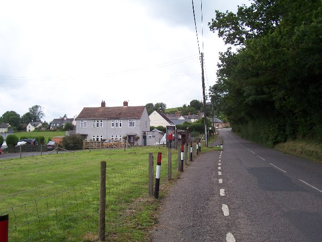
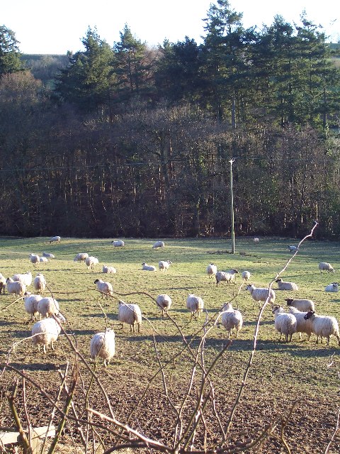
Morebath
Morebath is an upland village in the county of Devon, England. It is mostly given over to sheep-farming, and situated on the southern edge of Exmoor. An...

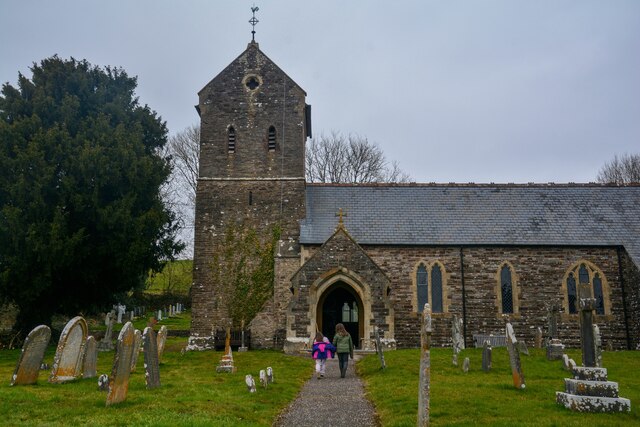
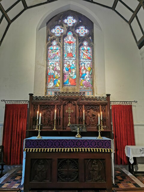
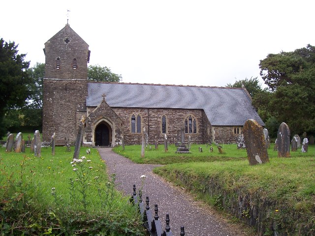
St George's Church, Morebath
St George's Church, Morebath is a Grade II* listed parish church in the Church of England Diocese of Exeter in Morebath, Devon. It is part of the Hukeley...

Morebath Junction railway station
Morebath Junction Halt was a railway halt near the junction of the Devon and Somerset Railway and Exe Valley Railway in Devon, South West England. �...

Shillingford, Devon
Shillingford is a village two miles (3 km) northeast of Bampton on the River Batherm in Mid Devon, England, close to the border with West Somerset. It...

Bampton Castle, Devon
Bampton Castle in the parish of Bampton, Devon was the seat of the feudal barony of Bampton. It is located on a spur that overlooks the River Batherm....

Bampton, Devon
Bampton is a small town and parish in northeast Devon, England, on the River Batherm, a tributary of the River Exe. It is about 6 miles (9.7 km) north...

Church of St John, Skilgate
The Anglican Church of St John in Skilgate, Somerset, England was built in the 14th century. It is a Grade II* listed building. == History == The church...
Skilgate
Skilgate is a village and civil parish 5 miles (8 km) east of Dulverton and 8 miles (13 km) west of Wiveliscombe in the Somerset West and Taunton district...
Nearby Amenities
Located within 500m of 51.015952,-3.4760709Have you been to Loyton Plantation?
Leave your review of Loyton Plantation below (or comments, questions and feedback).