Higher Little Copse

Wood, Forest in Devon Mid Devon

England

Higher Little Copse

Morebath : Timewell Hill, B3190 Looking along the road.
Morebath : Timewell Hill, B3190 Credit: Lewis Clarke

Higher Little Copse is a charming woodland located in the county of Devon, in southwestern England. Covering an area of approximately 10 hectares, this forest is nestled in the picturesque countryside near the village of Copplestone.

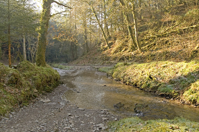
The woodland is predominantly composed of deciduous trees such as oak, beech, and ash, creating a diverse and vibrant ecosystem. These ancient trees provide a dense canopy, allowing only dappled sunlight to filter through to the forest floor below. This creates a unique microclimate, fostering the growth of various species of mosses, ferns, and wildflowers.

Higher Little Copse is home to an array of wildlife, making it a haven for nature enthusiasts. The forest provides habitat for numerous bird species, including woodpeckers, thrushes, and owls. Squirrels can also be spotted darting through the treetops, while badgers and foxes are known to roam the forest floor.

The woodland offers several walking trails, allowing visitors to explore its natural beauty. These paths wind through the forest, offering glimpses of bubbling brooks, small glades, and enchanting clearings. The tranquility and serenity of Higher Little Copse make it an ideal spot for picnics, birdwatching, or simply immersing oneself in nature.

Managed by the local council, the forest is kept in pristine condition, with regular maintenance and conservation efforts. Visitors are encouraged to respect the natural environment and adhere to the designated trails, ensuring the protection of this valuable woodland for future generations to enjoy.

If you have any feedback on the listing, please let us know in the comments section below.

Higher Little Copse Images

Images are sourced within 2km of 51.02361/-3.4763142 or Grid Reference SS9625. Thanks to Geograph Open Source API. All images are credited.

Morebath : Timewell Hill, B3190 Looking along the road.
Morebath : Timewell Hill, B3190
Looking along the road.
Morebath : Timewell Hill, B3190 A car tries to barge through cattle which have escaped onto the road.
Morebath : Timewell Hill, B3190
A car tries to barge through cattle which have escaped onto the road.
Morebath : Timewell Hill, B3190 Looking along the road where cows have caused some traffic issues.
Morebath : Timewell Hill, B3190
Looking along the road where cows have caused some traffic issues.
Morebath : Timewell Hill, B3190 Looking along a road with cows in it.
Morebath : Timewell Hill, B3190
Looking along a road with cows in it.
Morebath : St George's Church The church dates from the 13th century but much is from the 15th century.

The church was restored by William Butterfield between 1874 and 1875.

The role of the parish church in Morebath in the 16th century is described in Eamon Duffy's book The Voices of Morebath. Further insight into life in the village and church are provided by the handwritten records of the Revd. Christopher Trychay (Vicar from 1520 to 1574).
Morebath : St George's Church
The church dates from the 13th century but much is from the 15th century. The church was restored by William Butterfield between 1874 and 1875. The role of the parish church in Morebath in the 16th century is described in Eamon Duffy's book The Voices of Morebath. Further insight into life in the village and church are provided by the handwritten records of the Revd. Christopher Trychay (Vicar from 1520 to 1574).
Morebath : St George's Church The church dates from the 13th century but much is from the 15th century. The church was restored by William Butterfield between 1874 and 1875.
Morebath : St George's Church
The church dates from the 13th century but much is from the 15th century. The church was restored by William Butterfield between 1874 and 1875.
Morebath Church The Church of St George, Morebath
Morebath Church
The Church of St George, Morebath
Morebath Morebath. The greenspace to the left is the site of (and soon for) the village hall
Morebath
Morebath. The greenspace to the left is the site of (and soon for) the village hall
Claypits Claypits is a widespread collection of dwellings near Morebath.
Claypits
Claypits is a widespread collection of dwellings near Morebath.
Morebath Station (disused) The old stone buildings of Morebath station are visible behind the hedge at the top of the field. Morebath is over 1 mile away.
Morebath Station (disused)
The old stone buildings of Morebath station are visible behind the hedge at the top of the field. Morebath is over 1 mile away.
Court Farm Some of the buildings of Court Farm are just visible at the end of this track
Court Farm
Some of the buildings of Court Farm are just visible at the end of this track
Farmland near Willishayes Farm Farmland just south of Willishayes Farm, looking southwards
Farmland near Willishayes Farm
Farmland just south of Willishayes Farm, looking southwards
Skilgate: Chapple Farm Looking north west in wet weather
Skilgate: Chapple Farm
Looking north west in wet weather
Morebath: Timewell House Looking north on the Bampton-Watchet road
Morebath: Timewell House
Looking north on the Bampton-Watchet road
Skilgate: near Frogwell Cross A flock of sheep seen on the B3190 Watchet to Bampton road, looking south west. A man on a quad bike is ready for traffic coming the other way
Skilgate: near Frogwell Cross
A flock of sheep seen on the B3190 Watchet to Bampton road, looking south west. A man on a quad bike is ready for traffic coming the other way
Morebath: the Devon border Seen from the Somerset parish of Skilgate. Looking south-south-west on the road from Watchet to Bampton
Morebath: the Devon border
Seen from the Somerset parish of Skilgate. Looking south-south-west on the road from Watchet to Bampton
Morebath: near Keens Barn Looking north-north-west
Morebath: near Keens Barn
Looking north-north-west
Ben Brook, Skilgate Wood The bridleway crosses the Ben Brook at a ford which necessitates travelling downstream several metres before gaining the far bank.
Ben Brook, Skilgate Wood
The bridleway crosses the Ben Brook at a ford which necessitates travelling downstream several metres before gaining the far bank.
Show me another place!

Higher Little Copse is located at Grid Ref: SS9625 (Lat: 51.02361, Lng: -3.4763142)

Administrative County: Devon

District: Mid Devon

Police Authority: Devon and Cornwall

What 3 Words

///backfired.lovely.gown. Near Dulverton, Somerset

Related Wikis

Morebath

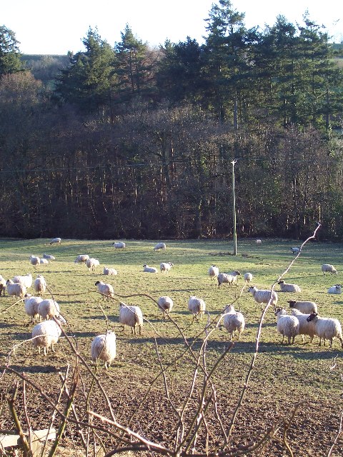
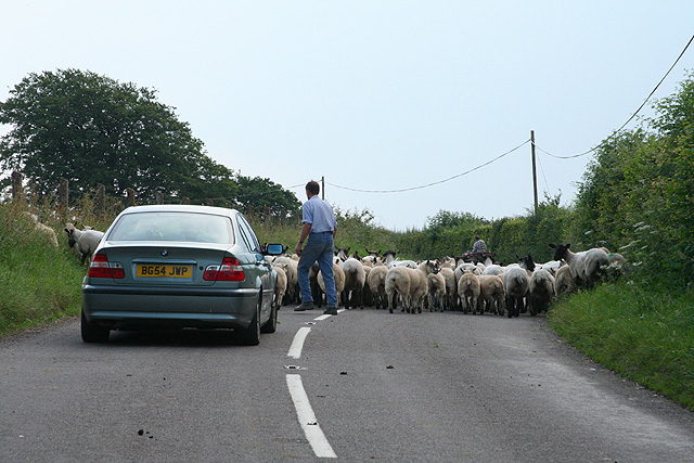
Morebath is an upland village in the county of Devon, England. It is mostly given over to sheep-farming, and situated on the southern edge of Exmoor. An...

St George's Church, Morebath

St George's Church, Morebath is a Grade II* listed parish church in the Church of England Diocese of Exeter in Morebath, Devon. It is part of the Hukeley...

Morebath Junction railway station

Morebath Junction Halt was a railway halt near the junction of the Devon and Somerset Railway and Exe Valley Railway in Devon, South West England. �...
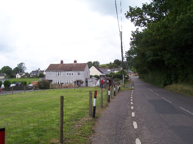
Skilgate

Skilgate is a village and civil parish 5 miles (8 km) east of Dulverton and 8 miles (13 km) west of Wiveliscombe in the Somerset West and Taunton district...

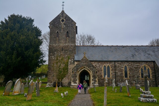
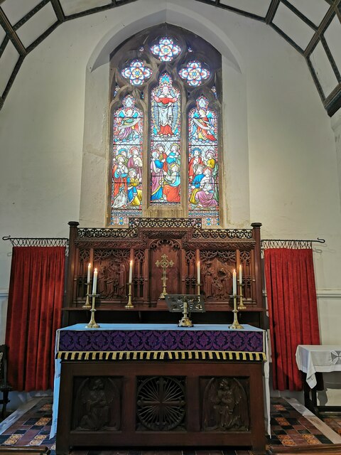
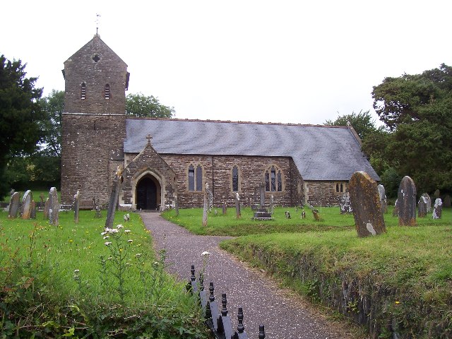
Church of St John, Skilgate

The Anglican Church of St John in Skilgate, Somerset, England was built in the 14th century. It is a Grade II* listed building. == History == The church...

Shillingford, Devon

Shillingford is a village two miles (3 km) northeast of Bampton on the River Batherm in Mid Devon, England, close to the border with West Somerset. It...

Bury Bridge

Bury Bridge at Bury in the parish of Brompton Regis within the English county of Somerset is a medieval packhorse bridge. It has been scheduled as an ancient...

Bury Castle, Brompton Regis

Bury Castle near Brompton Regis in the English county of Somerset was an Iron Age univallate hillfort which was reused with the creation of a motte after...

Related Videos

197 - Four Ponds Fishery, Devon.

https://www.facebook.com/fourpondsfishery For this session ive headed on down to devon and four ponds fishery is the ...

Nearby Amenities

Located within 500m of 51.02361,-3.4763142
Cottage Beer Project
Addr City: Tiverton
Addr Housename: Morebath Cottage
Addr Postcode: EX16 9BZ
Addr Street: Morebath
Craft: brewery
Email: dan@cottagebeerproject.co.uk
Source: NPE
Website: https://www.cottagebeerproject.co.uk
Lat/Long: 51.0248196/-3.4812595
The data included in this document is from www.openstreetmap.org. The data is made available under ODbL.

Have you been to Higher Little Copse?

Leave your review of Higher Little Copse below (or comments, questions and feedback).