Court Wood
Wood, Forest in Devon Mid Devon
England
Court Wood

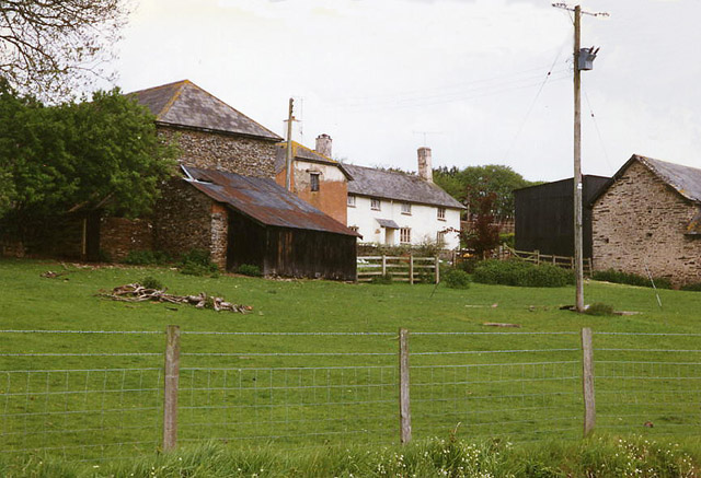
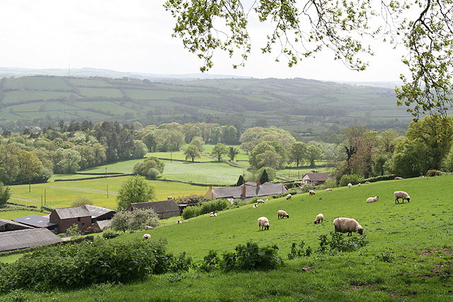
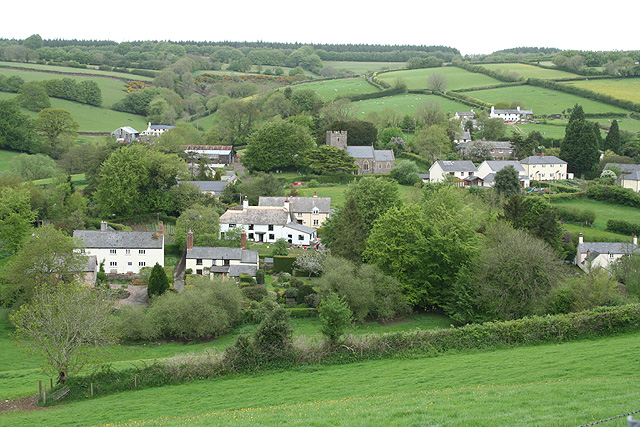
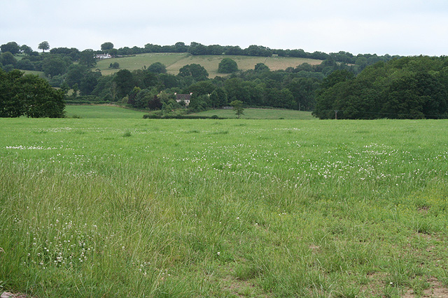
Court Wood is a picturesque woodland located in Devon, a county in southwestern England. Spread over an area of approximately 100 acres, this enchanting forest is a haven for nature lovers and outdoor enthusiasts alike. Nestled in the heart of the Devon countryside, Court Wood offers a serene and tranquil escape from the hustle and bustle of everyday life.
The woodland is predominantly composed of a diverse array of trees, including oak, beech, and ash, which create a rich and vibrant ecosystem. Visitors can meander through the well-maintained trails that wind their way through the wood, immersing themselves in the peaceful ambiance and taking in the breathtaking scenery.
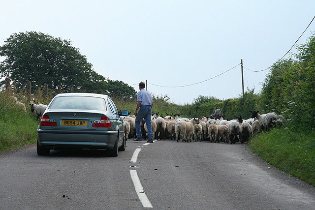
The forest is home to a variety of wildlife, making it a prime spot for birdwatching and wildlife spotting. Nature enthusiasts may be lucky enough to catch a glimpse of native species such as deer, squirrels, and a wide range of bird species that inhabit the area.
Court Wood also offers fantastic opportunities for recreational activities. Hiking and walking are popular pastimes in the wood, with trails suitable for all levels of fitness and ability. The wood is also a great place for picnics, allowing visitors to relax and enjoy the natural surroundings.
Maintained by the local authorities, Court Wood provides a well-preserved and safe environment for visitors. Facilities such as parking, picnic areas, and information boards are available to enhance the visitor experience. Whether one seeks solitude and tranquility or an active day in nature, Court Wood is a delightful destination that showcases the beauty of Devon's woodlands.
If you have any feedback on the listing, please let us know in the comments section below.
Court Wood Images
Images are sourced within 2km of 51.023416/-3.471018 or Grid Reference SS9625. Thanks to Geograph Open Source API. All images are credited.


Court Wood is located at Grid Ref: SS9625 (Lat: 51.023416, Lng: -3.471018)
Administrative County: Devon
District: Mid Devon
Police Authority: Devon and Cornwall
What 3 Words
///steepest.enormous.stews. Near Dulverton, Somerset
Nearby Locations
Related Wikis

Morebath
Morebath is an upland village in the county of Devon, England. It is mostly given over to sheep-farming, and situated on the southern edge of Exmoor. An...

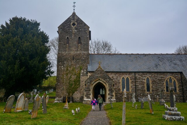
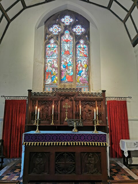
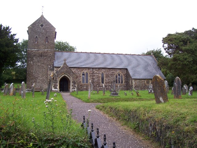
St George's Church, Morebath
St George's Church, Morebath is a Grade II* listed parish church in the Church of England Diocese of Exeter in Morebath, Devon. It is part of the Hukeley...

Morebath Junction railway station
Morebath Junction Halt was a railway halt near the junction of the Devon and Somerset Railway and Exe Valley Railway in Devon, South West England. �...

Church of St John, Skilgate
The Anglican Church of St John in Skilgate, Somerset, England was built in the 14th century. It is a Grade II* listed building. == History == The church...
Have you been to Court Wood?
Leave your review of Court Wood below (or comments, questions and feedback).