Alder Copse
Wood, Forest in Devon Mid Devon
England
Alder Copse

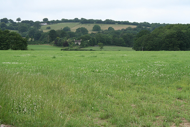
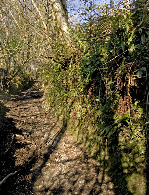
Alder Copse, located in the county of Devon, England, is a picturesque wood that spans over a vast area of land and is often referred to as a forest due to its dense vegetation. The copse is situated in a rural setting, surrounded by rolling hills and meadows, providing a tranquil and serene environment for visitors.
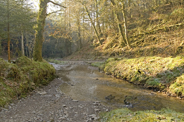
The copse is predominantly composed of alder trees, hence its name, which create a dense canopy that filters sunlight, resulting in a cool and shaded atmosphere. The trees stand tall and proud, reaching heights of up to 70 feet, with their branches intertwined, forming a natural roof above the woodland floor.
Walking through Alder Copse, one can find a variety of plant species, including ferns, mosses, and wildflowers that thrive in the damp and fertile soil. The forest floor is covered in a thick layer of fallen leaves and decaying vegetation, providing a rich habitat for insects, fungi, and small animals.
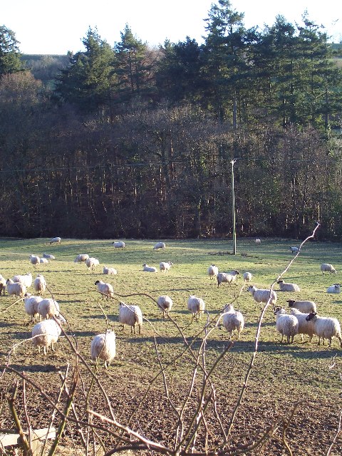
The copse is home to a diverse range of wildlife, with sightings of deer, foxes, badgers, and various species of birds being common. Birdwatchers can enjoy the melodious songs of woodpeckers, nightingales, and thrushes that echo through the trees.
Alder Copse is a popular destination for nature lovers, hikers, and photographers who are drawn to its natural beauty and peaceful ambiance. The wood offers a network of well-marked trails, allowing visitors to explore its enchanting corners and discover hidden gems along the way.
Overall, Alder Copse in Devon is a captivating wood, with its lush greenery, abundant wildlife, and tranquil atmosphere, making it a perfect escape for those seeking solace in nature.
If you have any feedback on the listing, please let us know in the comments section below.
Alder Copse Images
Images are sourced within 2km of 51.020448/-3.4760569 or Grid Reference SS9625. Thanks to Geograph Open Source API. All images are credited.


Alder Copse is located at Grid Ref: SS9625 (Lat: 51.020448, Lng: -3.4760569)
Administrative County: Devon
District: Mid Devon
Police Authority: Devon and Cornwall
What 3 Words
///shadowing.puzzles.dissolves. Near Dulverton, Somerset
Nearby Locations
Related Wikis

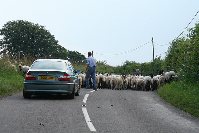
Morebath
Morebath is an upland village in the county of Devon, England. It is mostly given over to sheep-farming, and situated on the southern edge of Exmoor. An...

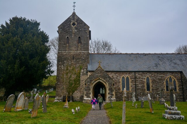
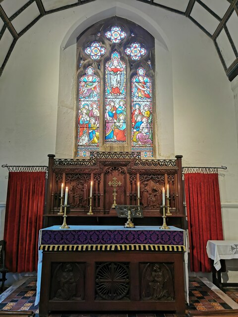
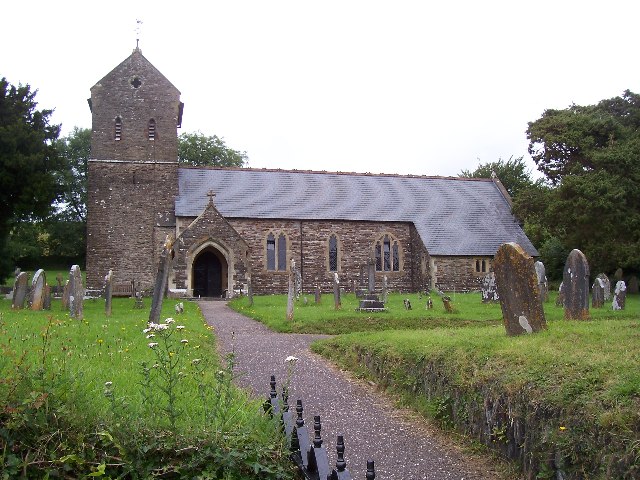
St George's Church, Morebath
St George's Church, Morebath is a Grade II* listed parish church in the Church of England Diocese of Exeter in Morebath, Devon. It is part of the Hukeley...

Morebath Junction railway station
Morebath Junction Halt was a railway halt near the junction of the Devon and Somerset Railway and Exe Valley Railway in Devon, South West England. �...

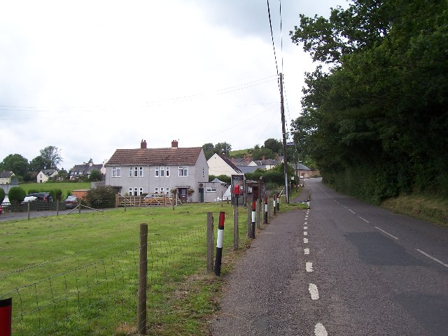
Shillingford, Devon
Shillingford is a village two miles (3 km) northeast of Bampton on the River Batherm in Mid Devon, England, close to the border with West Somerset. It...

Church of St John, Skilgate
The Anglican Church of St John in Skilgate, Somerset, England was built in the 14th century. It is a Grade II* listed building. == History == The church...
Skilgate
Skilgate is a village and civil parish 5 miles (8 km) east of Dulverton and 8 miles (13 km) west of Wiveliscombe in the Somerset West and Taunton district...

Bury Bridge
Bury Bridge at Bury in the parish of Brompton Regis within the English county of Somerset is a medieval packhorse bridge. It has been scheduled as an ancient...

Bury Castle, Brompton Regis
Bury Castle near Brompton Regis in the English county of Somerset was an Iron Age univallate hillfort which was reused with the creation of a motte after...
Related Videos


197 - Four Ponds Fishery, Devon.
https://www.facebook.com/fourpondsfishery For this session ive headed on down to devon and four ponds fishery is the ...
Nearby Amenities
Located within 500m of 51.020448,-3.4760569Have you been to Alder Copse?
Leave your review of Alder Copse below (or comments, questions and feedback).