Whitley Plantation

Wood, Forest in Devon Mid Devon

England

Whitley Plantation

A road junction near Nine Ash Cross
A road junction near Nine Ash Cross Credit: Roger A Smith

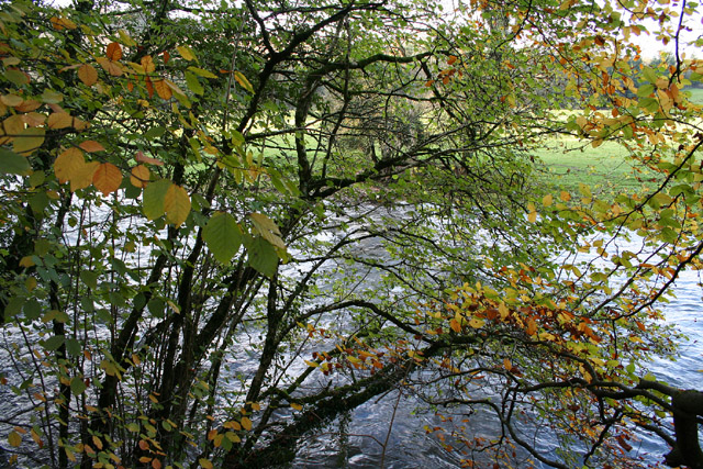
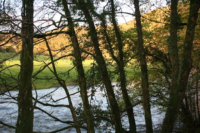
Whitley Plantation, located in Devon, England, is a charming and picturesque estate set amidst a dense forest. The plantation, also known as Whitley Wood, is a popular destination for nature enthusiasts and history buffs alike.

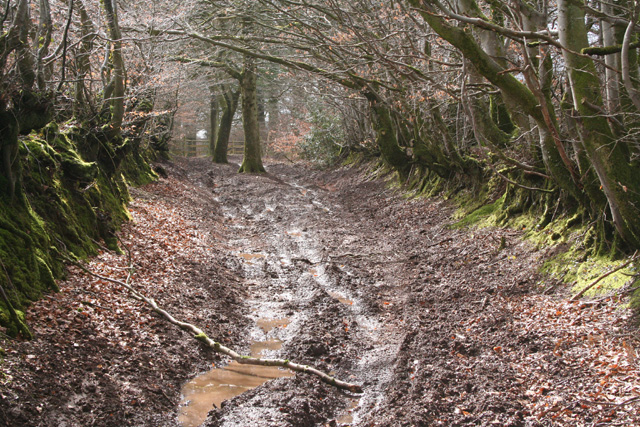
Covering an area of approximately 200 acres, Whitley Plantation is home to a diverse range of plant and animal species. The forest is dominated by towering oak and beech trees, creating a serene and tranquil atmosphere. The rich biodiversity of the area makes it a haven for birdwatchers, with species such as woodpeckers, owls, and various songbirds frequently spotted.

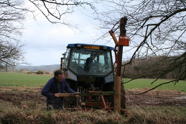
The history of Whitley Plantation dates back several centuries. It was originally established as an agricultural center in the 17th century, primarily focusing on the production of timber and crops. The remnants of old farm buildings and machinery can still be found within the estate, providing a glimpse into the region's agricultural past.

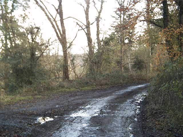
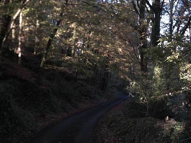
Visitors to Whitley Plantation can explore its network of walking trails, which offer breathtaking views of the surrounding woodland. The estate also features a quaint tea room, where visitors can enjoy traditional English refreshments.

Whitley Plantation is known for its commitment to conservation and sustainability. It actively participates in various environmental initiatives, including reforestation projects and wildlife preservation efforts.

Overall, Whitley Plantation is a hidden gem in the heart of Devon, offering a unique blend of natural beauty and historical significance. Whether one is seeking a peaceful retreat into nature or a glimpse into the region's past, this enchanting estate is sure to captivate visitors with its charm and allure.

If you have any feedback on the listing, please let us know in the comments section below.

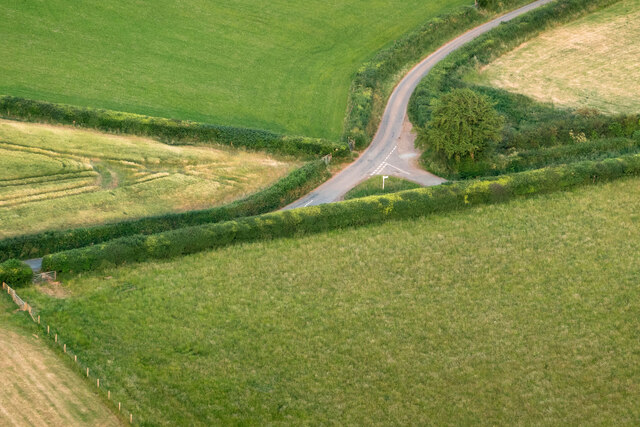
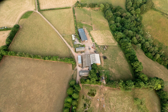
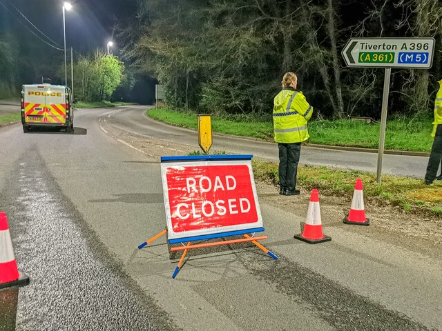
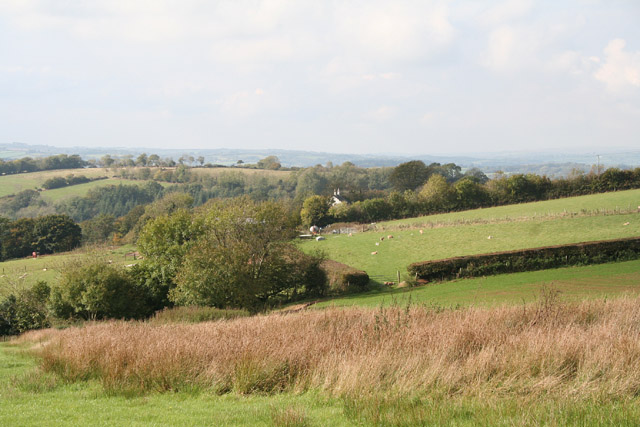
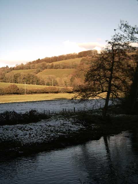
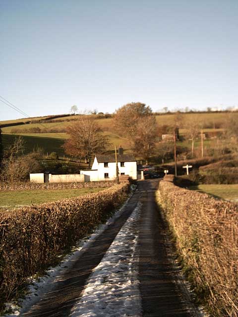
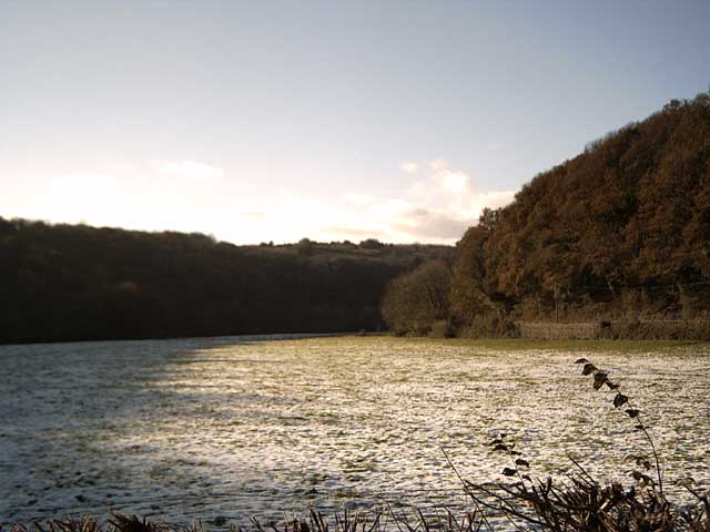
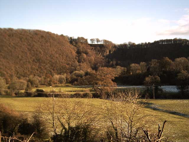
Whitley Plantation Images

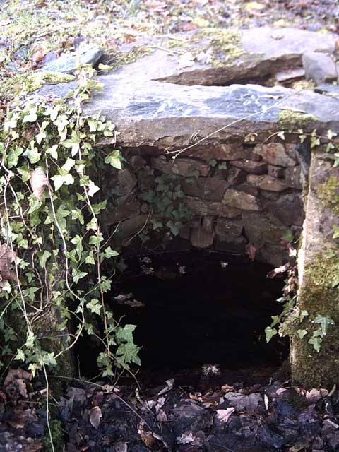
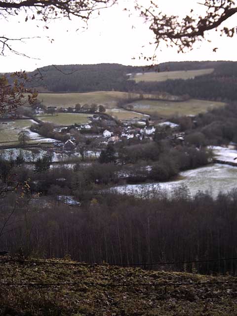
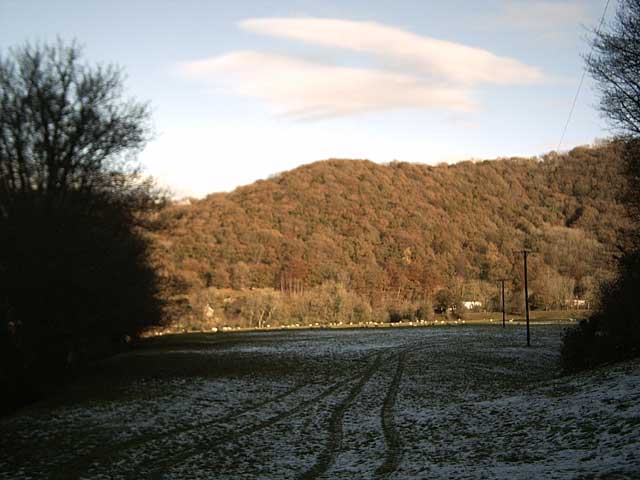
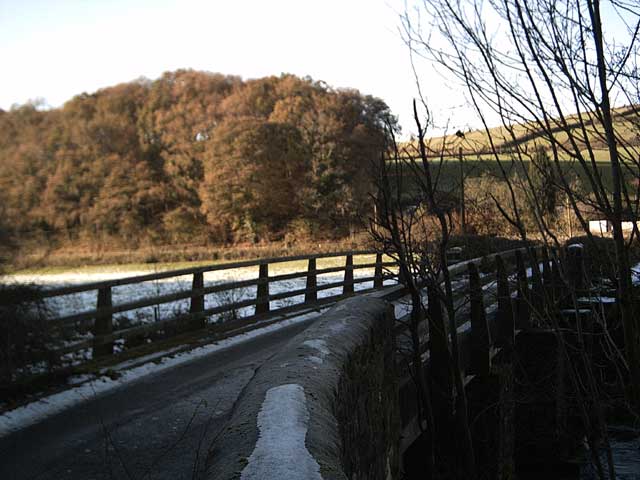
Images are sourced within 2km of 50.966712/-3.474196 or Grid Reference SS9619. Thanks to Geograph Open Source API. All images are credited.

A road junction near Nine Ash Cross
Barns & sheds on Shute Farm
Bampton : A396 The road is closed due to a fatal fire.
Bampton : A396
The road is closed due to a fatal fire.
Tiverton: Shute Farm The farm overlooks the Exe valley to the west
Tiverton: Shute Farm
The farm overlooks the Exe valley to the west
Tiverton: the Exe at Cove Cleave The river flows strongly after the early November rains
Tiverton: the Exe at Cove Cleave
The river flows strongly after the early November rains
Tiverton: the Exe at Cove Cleave The river flows strongly after the early November rains
Tiverton: the Exe at Cove Cleave
The river flows strongly after the early November rains
Exe Valley Way near Holmingham Wood The Way leaves the valley and climbs up to the ridge above Holmingham Quarry.
Exe Valley Way near Holmingham Wood
The Way leaves the valley and climbs up to the ridge above Holmingham Quarry.
Exe Valley Way near Bampton So this isn't the Exe Valley, this is the Batherm Valley. But Bampton a nice place to visit so the way goes this way.
Exe Valley Way near Bampton
So this isn't the Exe Valley, this is the Batherm Valley. But Bampton a nice place to visit so the way goes this way.
Well at Holmingham Wood Taken on the Exe Valley Way. This well is 157m above sea level, ~60m above the valley below. I'm not sure how the water gets here.
Well at Holmingham Wood
Taken on the Exe Valley Way. This well is 157m above sea level, ~60m above the valley below. I'm not sure how the water gets here.
View of Cove from Holmingham Woods Taken on the Exe Valley Way. This is the view from the ridge above Holmingham Quarry.
View of Cove from Holmingham Woods
Taken on the Exe Valley Way. This is the view from the ridge above Holmingham Quarry.
Farmland near Halfpenny Bridge Taken on the Exe Valley Way.
Farmland near Halfpenny Bridge
Taken on the Exe Valley Way.
Halfpenny Bridge Taken on the Exe Valley Way.
Halfpenny Bridge
Taken on the Exe Valley Way.
River Exe at Halfpenny Bridge Taken on the Exe Valley Way.
River Exe at Halfpenny Bridge
Taken on the Exe Valley Way.
Halfpenny Cross Taken on the Exe Valley Way.
Halfpenny Cross
Taken on the Exe Valley Way.
Exe Valley in the Snow Taken on the Exe Valley Way near Hallpenny Bridge
Exe Valley in the Snow
Taken on the Exe Valley Way near Hallpenny Bridge
Cove Cleave from Hallpenny Cross Taken from the Exe Valley Way north of Hallpenny Cross
Cove Cleave from Hallpenny Cross
Taken from the Exe Valley Way north of Hallpenny Cross
Huntsham: possible course of Roman road On Bampton Down. The road may have linked the Roman forts at Cudmore and Bolham. Looking south west. The formation, investigated by local archaeologists, has recently been disturbed and churned up by vehicles
Huntsham: possible course of Roman road
On Bampton Down. The road may have linked the Roman forts at Cudmore and Bolham. Looking south west. The formation, investigated by local archaeologists, has recently been disturbed and churned up by vehicles
Tiverton: fencing operation near Bampton Down Looking east towards Mason’s Moor
Tiverton: fencing operation near Bampton Down
Looking east towards Mason’s Moor
Show me another place!

Whitley Plantation is located at Grid Ref: SS9619 (Lat: 50.966712, Lng: -3.474196)

Administrative County: Devon

District: Mid Devon

Police Authority: Devon and Cornwall

What 3 Words

///tiling.simulates.blotchy. Near Tiverton, Devon

Related Wikis

River Batherm

The River Batherm is a river which flows through Somerset and Devon in England. The river rises on high ground near the village of Sperry Barton, between...

Cove, Devon

Cove is a small village in the county of Devon, England. It is 4 miles north of Tiverton and 2 miles from Bampton in the Exe Valley some 450 feet above...

Bampton, Devon

Bampton is a small town and parish in northeast Devon, England, on the River Batherm, a tributary of the River Exe. It is about 6 miles (9.7 km) north...

Bampton Castle, Devon

Bampton Castle in the parish of Bampton, Devon was the seat of the feudal barony of Bampton. It is located on a spur that overlooks the River Batherm....

Nearby Amenities

Located within 500m of 50.966712,-3.474196
Power: pole
Source: bing
Lat/Long: 50.962929/-3.4719908
Power: pole
Source: bing
Lat/Long: 50.9679426/-3.4697351
Power: pole
Source: bing
Lat/Long: 50.9690084/-3.4692416
Power: pole
Source: bing
Transformer: distribution
Lat/Long: 50.9668919/-3.4702313
Power: pole
Source: bing
Transformer: distribution
Lat/Long: 50.9646436/-3.4701133
Power: pole
Source: bing
Lat/Long: 50.9661318/-3.4705505
Power: pole
Source: bing
Lat/Long: 50.96512/-3.4709984
Power: pole
Source: bing
Lat/Long: 50.9640709/-3.4714758
The data included in this document is from www.openstreetmap.org. The data is made available under ODbL.

Have you been to Whitley Plantation?

Leave your review of Whitley Plantation below (or comments, questions and feedback).