Longclose Plantation

Wood, Forest in Devon Mid Devon

England

Longclose Plantation

A road junction near Nine Ash Cross
A road junction near Nine Ash Cross Credit: Roger A Smith

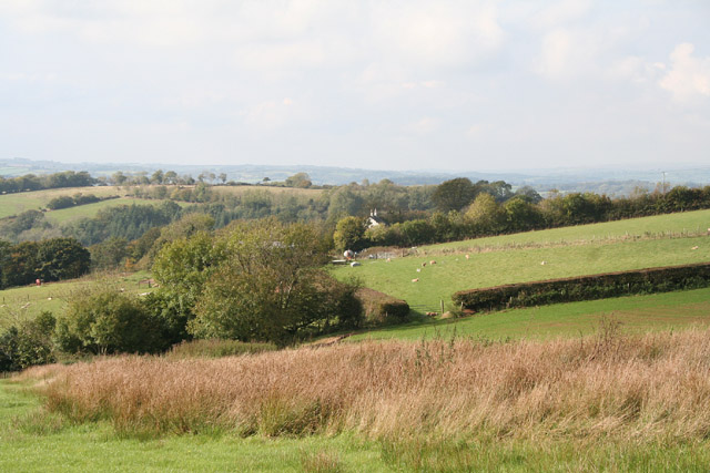
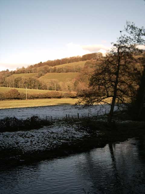
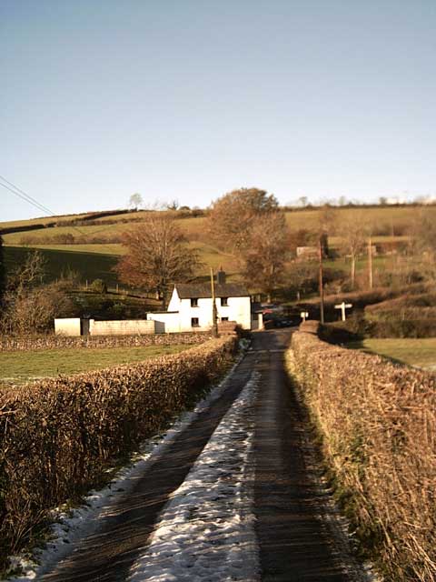
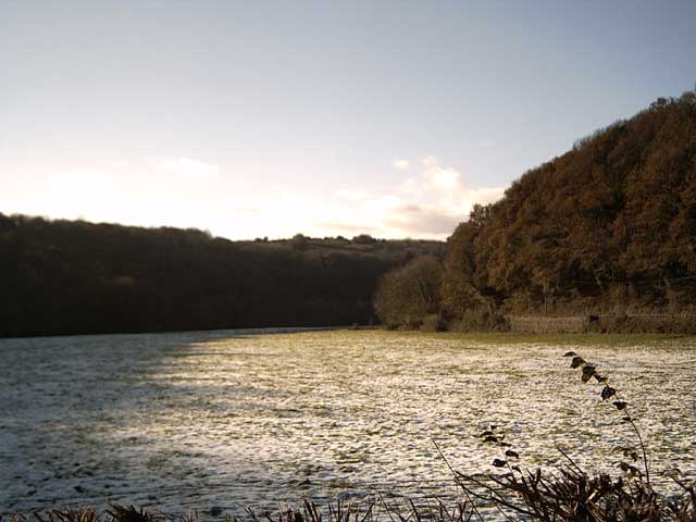
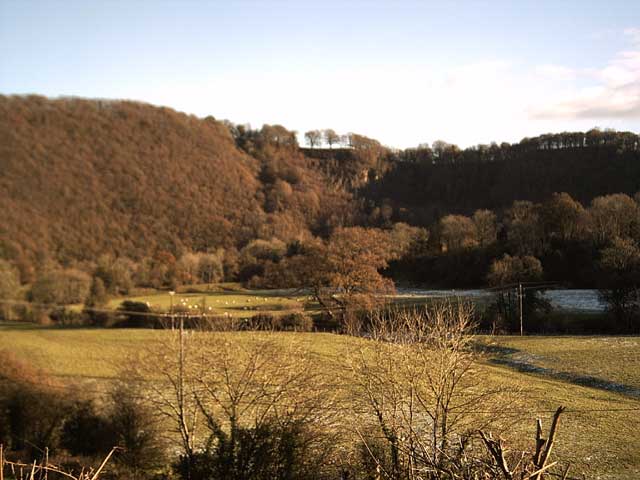
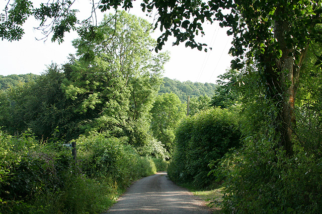
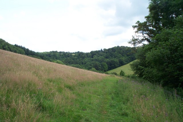
Longclose Plantation is a picturesque woodland located in the scenic county of Devon, in southwestern England. Situated on the outskirts of a small village, the plantation covers an area of approximately 50 acres, making it a perfect destination for nature lovers and outdoor enthusiasts.

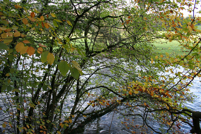
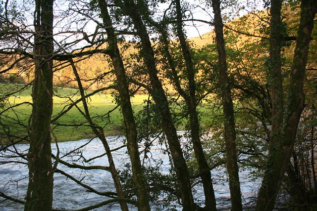
The woodland is dominated by a variety of tall, mature trees, including oak, beech, and pine. These towering giants create a dense canopy that provides shade and a sense of tranquility throughout the plantation. The forest floor is covered with a lush carpet of ferns, wildflowers, and moss, adding to the enchanting atmosphere of the area.

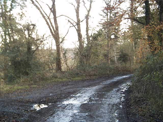
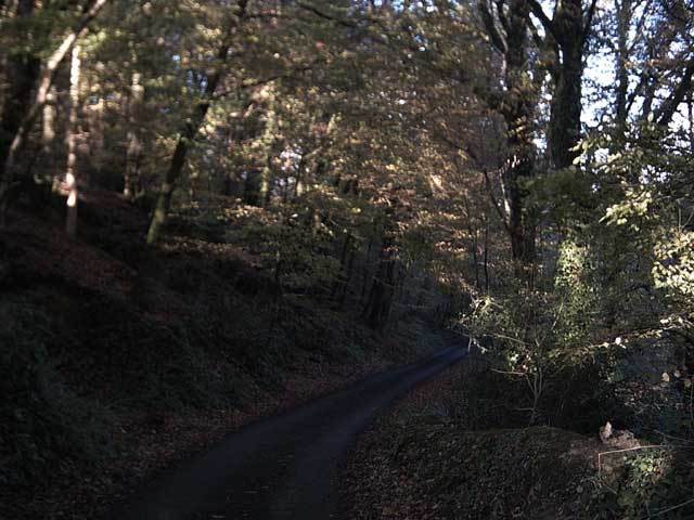
Longclose Plantation offers a network of well-maintained walking trails, allowing visitors to explore and immerse themselves in the natural beauty of the woodland. The paths wind through the trees, offering glimpses of wildlife such as deer, foxes, and a variety of bird species. The plantation also features several secluded picnic areas, providing a perfect spot for families and friends to enjoy a peaceful outdoor lunch.

In addition to its recreational value, Longclose Plantation plays an important role in the local ecosystem. The woodland provides a habitat for a diverse range of plants and animals, contributing to the overall biodiversity of the region. It also acts as a carbon sink, absorbing carbon dioxide from the atmosphere and helping to mitigate the effects of climate change.

Overall, Longclose Plantation in Devon offers a serene and captivating natural environment, inviting visitors to take a break from their busy lives and reconnect with nature.

If you have any feedback on the listing, please let us know in the comments section below.

Longclose Plantation Images

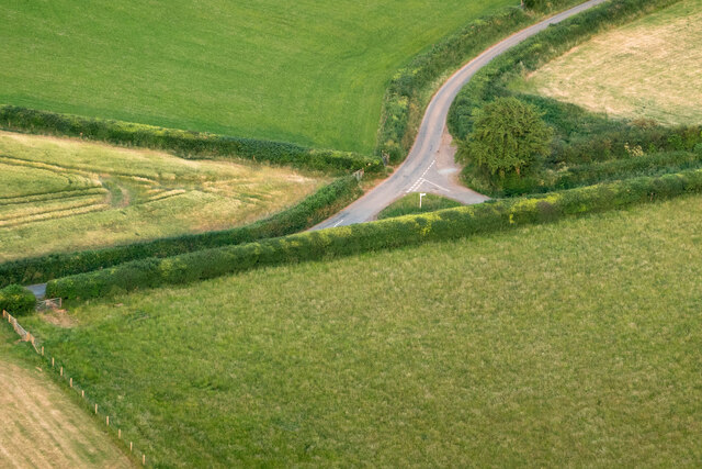
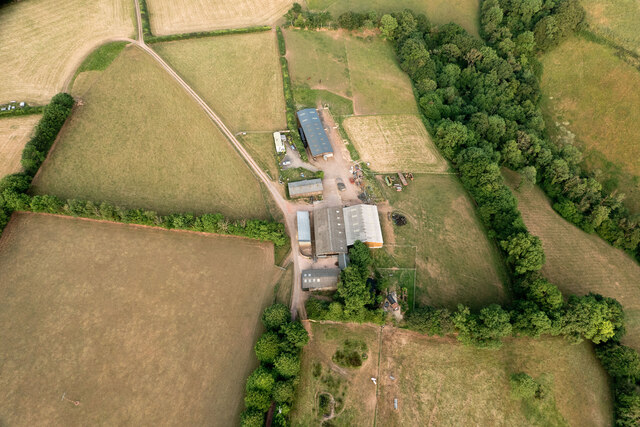
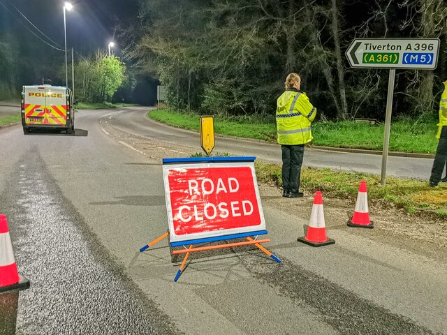
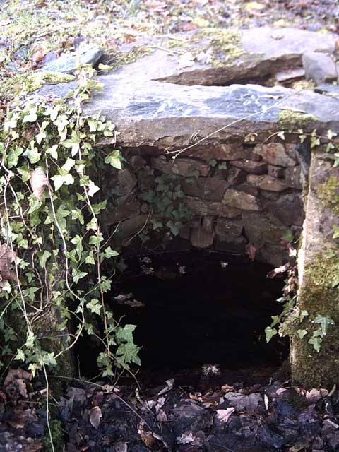
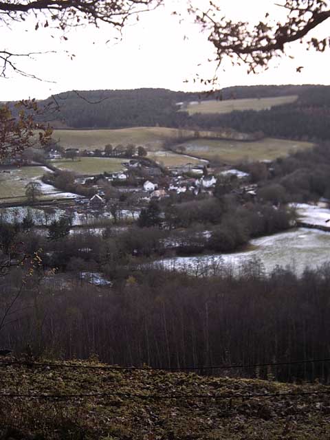
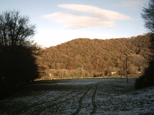
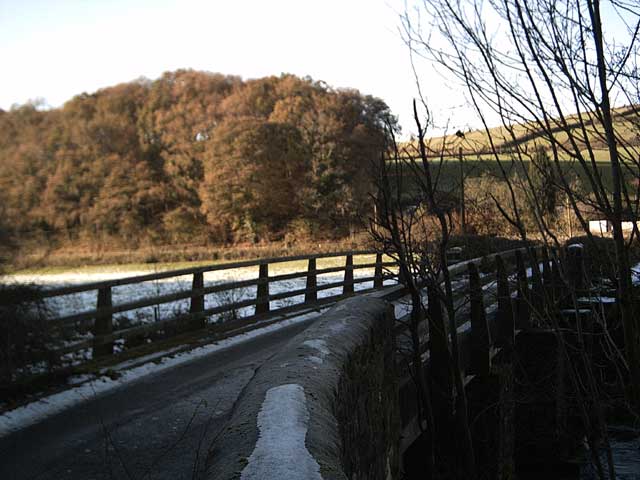
Images are sourced within 2km of 50.965131/-3.4797996 or Grid Reference SS9619. Thanks to Geograph Open Source API. All images are credited.

A road junction near Nine Ash Cross
Barns & sheds on Shute Farm
Bampton : A396 The road is closed due to a fatal fire.
Bampton : A396
The road is closed due to a fatal fire.
Tiverton: Shute Farm The farm overlooks the Exe valley to the west
Tiverton: Shute Farm
The farm overlooks the Exe valley to the west
Tiverton: the Exe at Cove Cleave The river flows strongly after the early November rains
Tiverton: the Exe at Cove Cleave
The river flows strongly after the early November rains
Tiverton: the Exe at Cove Cleave The river flows strongly after the early November rains
Tiverton: the Exe at Cove Cleave
The river flows strongly after the early November rains
Exe Valley Way near Holmingham Wood The Way leaves the valley and climbs up to the ridge above Holmingham Quarry.
Exe Valley Way near Holmingham Wood
The Way leaves the valley and climbs up to the ridge above Holmingham Quarry.
Exe Valley Way near Bampton So this isn't the Exe Valley, this is the Batherm Valley. But Bampton a nice place to visit so the way goes this way.
Exe Valley Way near Bampton
So this isn't the Exe Valley, this is the Batherm Valley. But Bampton a nice place to visit so the way goes this way.
Well at Holmingham Wood Taken on the Exe Valley Way. This well is 157m above sea level, ~60m above the valley below. I'm not sure how the water gets here.
Well at Holmingham Wood
Taken on the Exe Valley Way. This well is 157m above sea level, ~60m above the valley below. I'm not sure how the water gets here.
View of Cove from Holmingham Woods Taken on the Exe Valley Way. This is the view from the ridge above Holmingham Quarry.
View of Cove from Holmingham Woods
Taken on the Exe Valley Way. This is the view from the ridge above Holmingham Quarry.
Farmland near Halfpenny Bridge Taken on the Exe Valley Way.
Farmland near Halfpenny Bridge
Taken on the Exe Valley Way.
Halfpenny Bridge Taken on the Exe Valley Way.
Halfpenny Bridge
Taken on the Exe Valley Way.
River Exe at Halfpenny Bridge Taken on the Exe Valley Way.
River Exe at Halfpenny Bridge
Taken on the Exe Valley Way.
Halfpenny Cross Taken on the Exe Valley Way.
Halfpenny Cross
Taken on the Exe Valley Way.
Exe Valley in the Snow Taken on the Exe Valley Way near Hallpenny Bridge
Exe Valley in the Snow
Taken on the Exe Valley Way near Hallpenny Bridge
Cove Cleave from Hallpenny Cross Taken from the Exe Valley Way north of Hallpenny Cross
Cove Cleave from Hallpenny Cross
Taken from the Exe Valley Way north of Hallpenny Cross
Bampton: near Broom Cottage On the lane to Halfpenny Cross. The public footpath, left, provides a short cut to the Exeter Inn. Looking south-south-east
Bampton: near Broom Cottage
On the lane to Halfpenny Cross. The public footpath, left, provides a short cut to the Exeter Inn. Looking south-south-east
Public Bridleway from Cove Down Farm to Shute Farm
Show me another place!

Longclose Plantation is located at Grid Ref: SS9619 (Lat: 50.965131, Lng: -3.4797996)

Administrative County: Devon

District: Mid Devon

Police Authority: Devon and Cornwall

What 3 Words

///projects.incorrect.parading. Near Tiverton, Devon

Related Wikis

Cove, Devon

Cove is a small village in the county of Devon, England. It is 4 miles north of Tiverton and 2 miles from Bampton in the Exe Valley some 450 feet above...

River Batherm

The River Batherm is a river which flows through Somerset and Devon in England. The river rises on high ground near the village of Sperry Barton, between...

Bampton, Devon

Bampton is a small town and parish in northeast Devon, England, on the River Batherm, a tributary of the River Exe. It is about 6 miles (9.7 km) north...

Castle Close

Castle Close is a circular earthwork located near Stoodleigh in Mid Devon, England at OS grid reference SS937181. It is described on maps as a settlement...

Nearby Amenities

Located within 500m of 50.965131,-3.4797996
Poles: bipole
Power: pole
Source: bing
Transformer: distribution
Lat/Long: 50.9680912/-3.4850974
Power: pole
Source: bing
Transformer: distribution
Lat/Long: 50.9612692/-3.4780848
Power: pole
Source: bing
Lat/Long: 50.9614221/-3.4771541
Power: pole
Source: bing
Lat/Long: 50.9616231/-3.47588
The data included in this document is from www.openstreetmap.org. The data is made available under ODbL.

Have you been to Longclose Plantation?

Leave your review of Longclose Plantation below (or comments, questions and feedback).