Longham Plantation
Wood, Forest in Devon Mid Devon
England
Longham Plantation
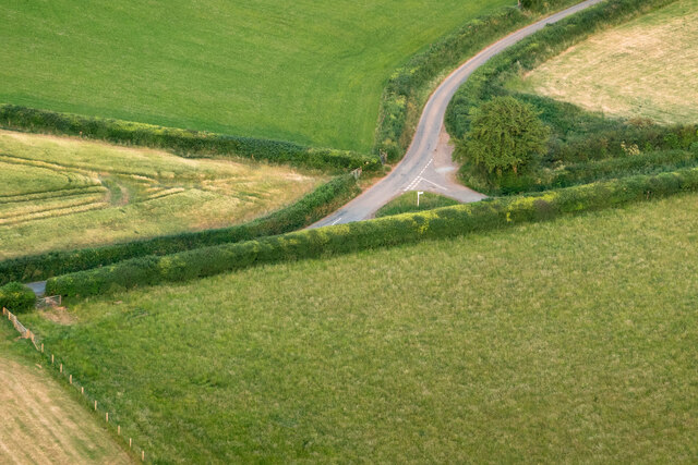
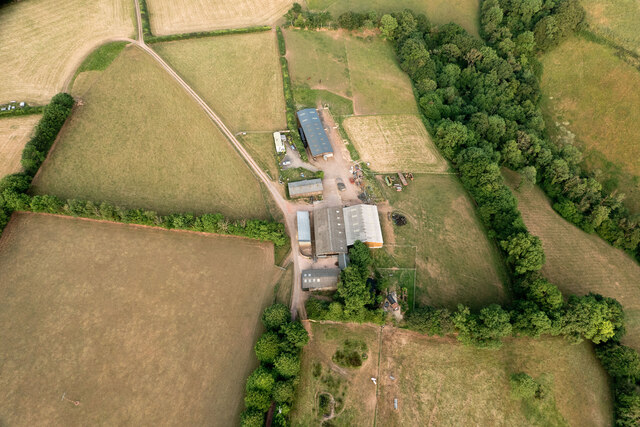
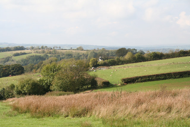
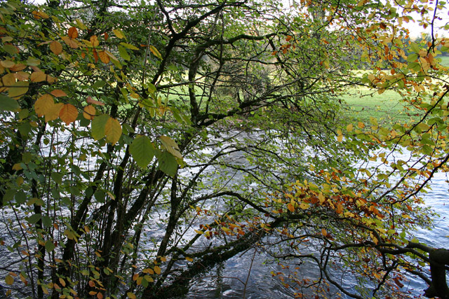
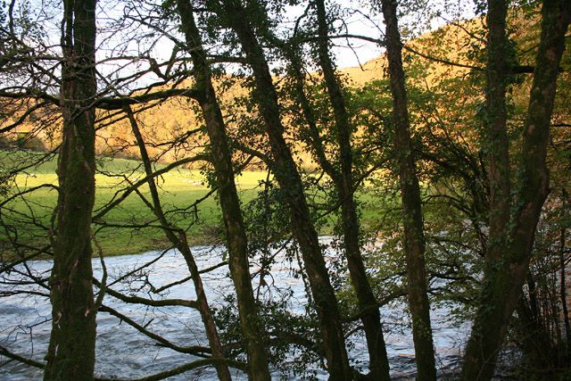
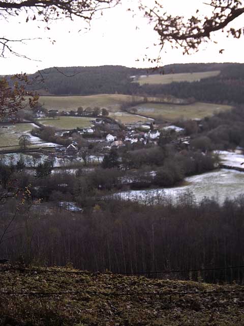
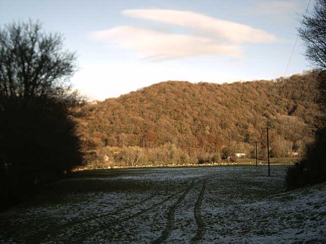
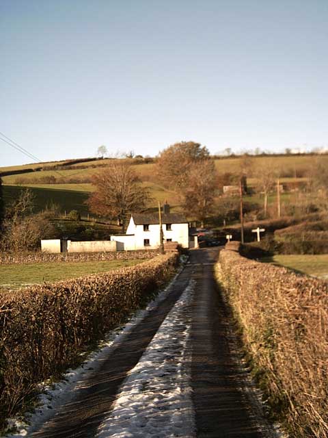
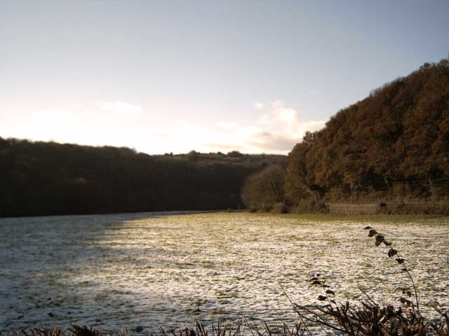
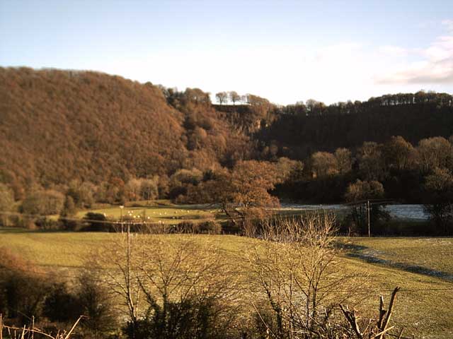
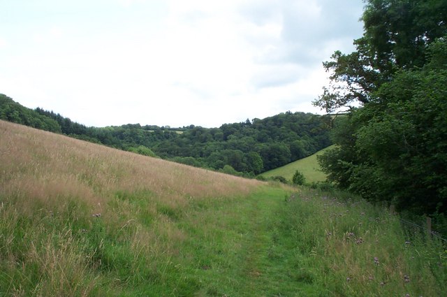
Longham Plantation, located in Devon, England, is a picturesque woodland area known for its natural beauty and rich biodiversity. Covering an area of approximately 500 acres, the plantation is a haven for flora and fauna, making it a popular destination for nature enthusiasts and wildlife lovers.
The woodland at Longham Plantation is predominantly made up of native tree species such as oak, beech, and ash, creating a dense and lush forest environment. The tall, mature trees provide a habitat for a wide variety of bird species, including owls, woodpeckers, and songbirds, making it an excellent spot for birdwatching.
In addition to its diverse bird population, Longham Plantation is also home to a range of other wildlife. Visitors may encounter deer, foxes, and squirrels as they explore the woodland trails, adding to the enchanting experience of being immersed in nature.
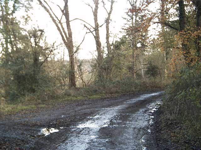
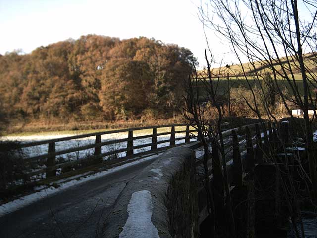
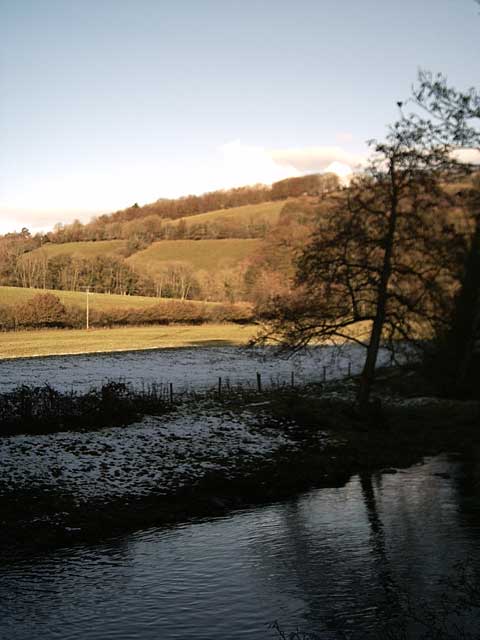
The plantation offers several well-maintained walking trails, allowing visitors to explore the area at their own pace. The paths wind through the forest, offering glimpses of sun-dappled clearings and babbling brooks along the way. These trails are suitable for all levels of fitness and provide a peaceful and serene environment for outdoor activities such as hiking, jogging, or simply taking a leisurely stroll.
Longham Plantation is open to the public year-round, with the changing seasons offering different experiences and perspectives of the woodland. Whether it's the vibrant colors of autumn, the delicate blooms of spring, or the tranquility of a winter landscape, Longham Plantation never fails to captivate visitors with its natural beauty and peaceful ambiance.
If you have any feedback on the listing, please let us know in the comments section below.
Longham Plantation Images
Images are sourced within 2km of 50.963901/-3.4760579 or Grid Reference SS9619. Thanks to Geograph Open Source API. All images are credited.

Longham Plantation is located at Grid Ref: SS9619 (Lat: 50.963901, Lng: -3.4760579)
Administrative County: Devon
District: Mid Devon
Police Authority: Devon and Cornwall
What 3 Words
///presented.creeps.invite. Near Tiverton, Devon
Related Wikis

Cove, Devon
Cove is a small village in the county of Devon, England. It is 4 miles north of Tiverton and 2 miles from Bampton in the Exe Valley some 450 feet above...

River Batherm
The River Batherm is a river which flows through Somerset and Devon in England. The river rises on high ground near the village of Sperry Barton, between...

Bampton, Devon
Bampton is a small town and parish in northeast Devon, England, on the River Batherm, a tributary of the River Exe. It is about 6 miles (9.7 km) north...

Castle Close
Castle Close is a circular earthwork located near Stoodleigh in Mid Devon, England at OS grid reference SS937181. It is described on maps as a settlement...

Bampton Castle, Devon
Bampton Castle in the parish of Bampton, Devon was the seat of the feudal barony of Bampton. It is located on a spur that overlooks the River Batherm....

Huntsham Castle
Huntsham Castle, Devon, England is an Iron Age Hill fort enclosure near the village of Huntsham, it is located 260 m (850 ft) above sea level on the edge...
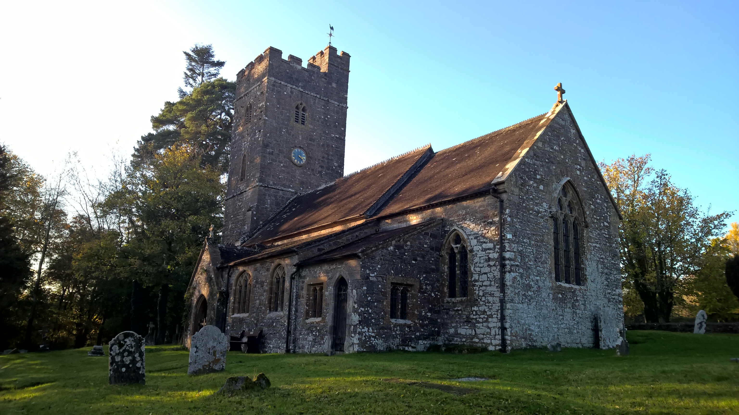
All Saints' Church, Huntsham
All Saints' Church, Huntsham is a Grade II* listed parish church in the Church of England. It is in the small village of Huntsham, about 5.8 miles (9.3...

Knightshayes Court
Knightshayes Court is a Victorian country house near Tiverton, Devon, England, designed by William Burges for the Heathcoat-Amory family. Nikolaus Pevsner...
Nearby Amenities
Located within 500m of 50.963901,-3.4760579Have you been to Longham Plantation?
Leave your review of Longham Plantation below (or comments, questions and feedback).