Lower Little Copse
Wood, Forest in Devon Mid Devon
England
Lower Little Copse

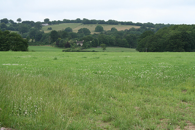
Lower Little Copse is a charming woodland located in Devon, England. Covering an area of approximately 10 acres, this small forest is nestled within the picturesque countryside, offering visitors a tranquil and idyllic escape from the hustle and bustle of everyday life.
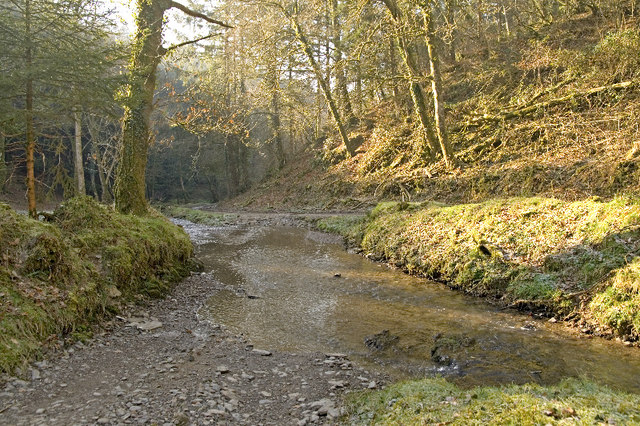
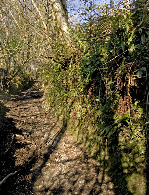
The woodland is predominantly composed of native broadleaf trees, including oak, beech, and ash, which create a dense canopy overhead. The lush undergrowth is home to a variety of plant species, such as bluebells, wild garlic, and ferns, which add to the natural beauty of the area.
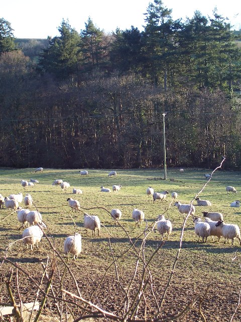
Lower Little Copse is known for its rich biodiversity, providing a habitat for a wide range of wildlife. Bird enthusiasts will delight in spotting species such as woodpeckers, nuthatches, and tawny owls, while small mammals like squirrels, badgers, and foxes can also be found amongst the trees.
The forest offers several walking trails, allowing visitors to explore the woodland at their own pace. These paths meander through the trees, offering glimpses of sunlight filtering through the leaves and the peaceful sound of birdsong filling the air. The tranquility of the forest makes it an ideal spot for nature lovers, walkers, and those seeking a peaceful retreat.
Managed by a local conservation group, Lower Little Copse is dedicated to preserving and protecting the natural environment. The woodland is open to the public year-round and is free to access, offering visitors the chance to enjoy the beauty and serenity of this hidden gem in the heart of Devon.
If you have any feedback on the listing, please let us know in the comments section below.
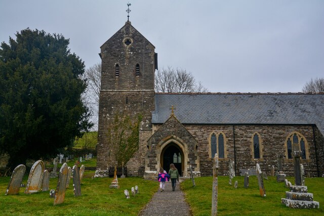
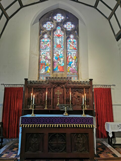
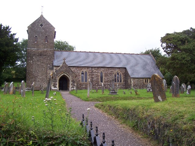
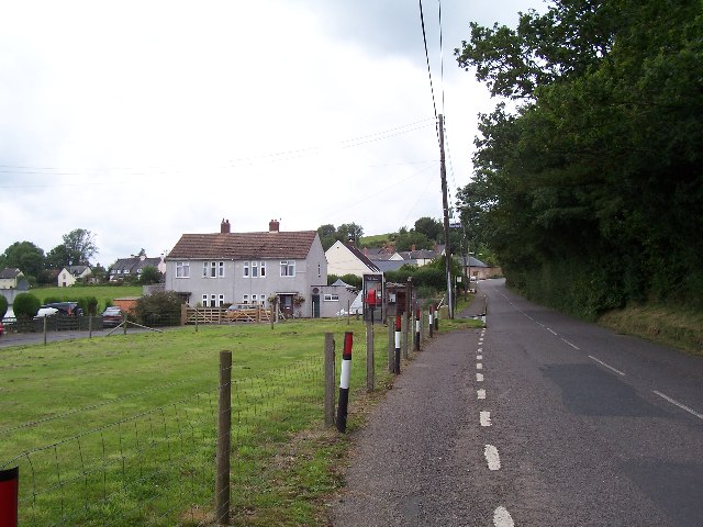
Lower Little Copse Images
Images are sourced within 2km of 51.022817/-3.4771445 or Grid Reference SS9625. Thanks to Geograph Open Source API. All images are credited.


Lower Little Copse is located at Grid Ref: SS9625 (Lat: 51.022817, Lng: -3.4771445)
Administrative County: Devon
District: Mid Devon
Police Authority: Devon and Cornwall
What 3 Words
///emblem.clockwork.slyly. Near Dulverton, Somerset
Nearby Locations
Related Wikis

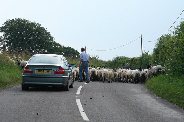
Morebath
Morebath is an upland village in the county of Devon, England. It is mostly given over to sheep-farming, and situated on the southern edge of Exmoor. An...

St George's Church, Morebath
St George's Church, Morebath is a Grade II* listed parish church in the Church of England Diocese of Exeter in Morebath, Devon. It is part of the Hukeley...

Morebath Junction railway station
Morebath Junction Halt was a railway halt near the junction of the Devon and Somerset Railway and Exe Valley Railway in Devon, South West England. �...

Shillingford, Devon
Shillingford is a village two miles (3 km) northeast of Bampton on the River Batherm in Mid Devon, England, close to the border with West Somerset. It...
Nearby Amenities
Located within 500m of 51.022817,-3.4771445Have you been to Lower Little Copse?
Leave your review of Lower Little Copse below (or comments, questions and feedback).