Ash Copse
Wood, Forest in Somerset Somerset West and Taunton
England
Ash Copse
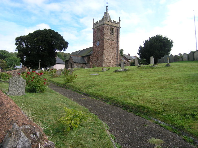
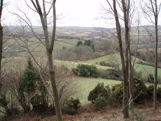
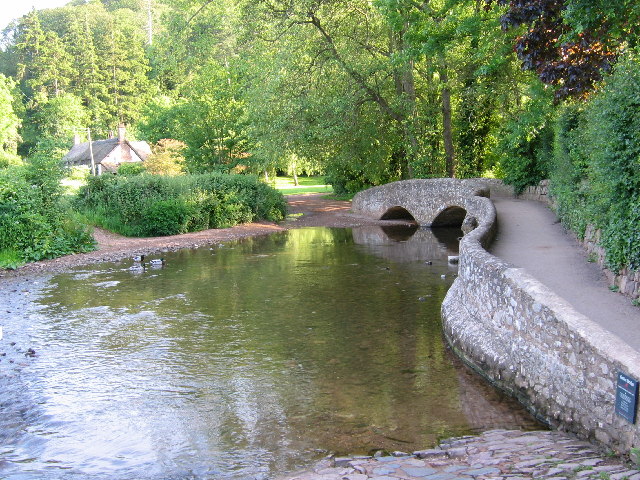
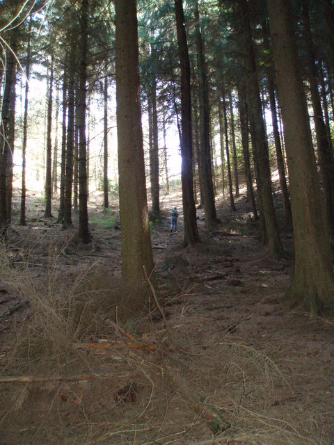
Ash Copse is a picturesque woodland located in Somerset, England. Spanning an area of approximately 30 acres, it is characterized by a dense cover of ash trees, from which it derives its name. The copse is situated in a rural setting, surrounded by rolling hills and meadows, creating a serene and tranquil atmosphere.
The woodland is home to a diverse range of flora and fauna, providing a valuable habitat for various wildlife species. The ash trees dominate the landscape, forming a dense canopy that filters the sunlight, casting a dappled effect on the forest floor. Beneath the towering trees, a rich undergrowth of ferns, wildflowers, and mosses thrives, creating a vibrant tapestry of colors and textures.
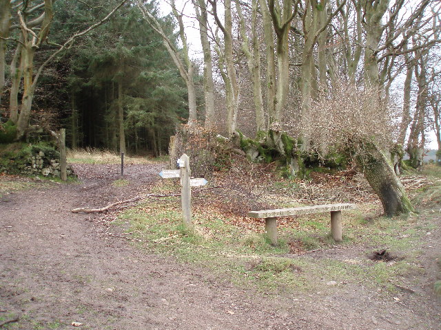
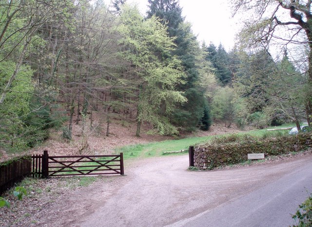
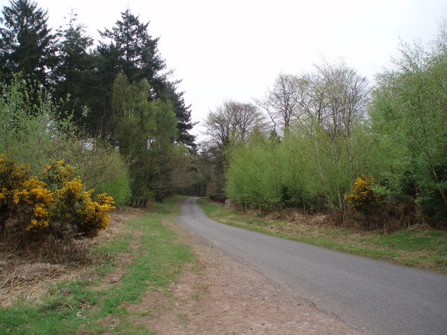
Ash Copse is a popular destination for nature enthusiasts and outdoor lovers. A network of well-maintained trails meanders through the woodland, allowing visitors to explore its beauty at their own pace. The peaceful ambiance and the abundance of wildlife make it an ideal spot for birdwatching, with species such as woodpeckers, owls, and songbirds frequently spotted.
The copse is also rich in history, with evidence of human settlement dating back centuries. Ancient remains, including burial mounds and archaeological artifacts, have been discovered within its boundaries. These remnants serve as a reminder of the area's rich cultural heritage.
Overall, Ash Copse is a captivating woodland that offers a tranquil escape from the hustle and bustle of everyday life. Its natural beauty, diverse wildlife, and historical significance make it a cherished spot for both locals and visitors to Somerset.
If you have any feedback on the listing, please let us know in the comments section below.
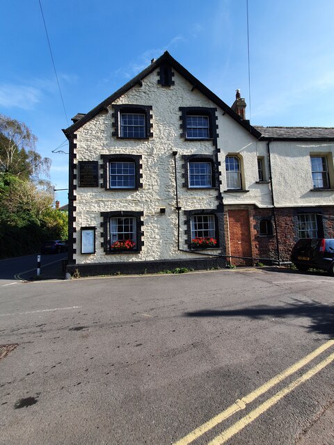
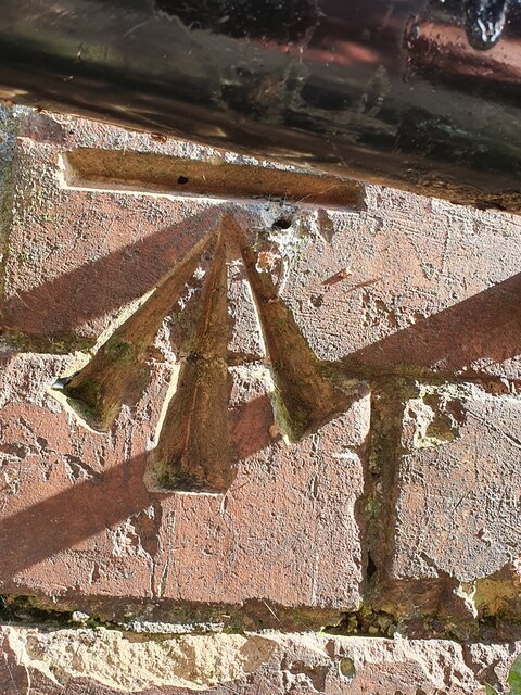
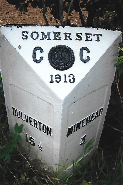
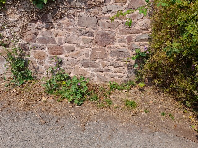
Ash Copse Images
Images are sourced within 2km of 51.178664/-3.4762268 or Grid Reference SS9643. Thanks to Geograph Open Source API. All images are credited.

Ash Copse is located at Grid Ref: SS9643 (Lat: 51.178664, Lng: -3.4762268)
Administrative County: Somerset
District: Somerset West and Taunton
Police Authority: Avon and Somerset
What 3 Words
///months.boat.firmer. Near Minehead, Somerset
Nearby Locations
Related Wikis

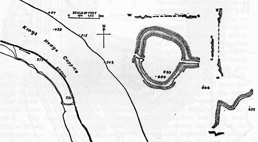
Grabbist Hillfort
Grabbist Hillfort is an Iron Age oval hillfort or defended enclosure, west of Dunster in Somerset, England. The site is 885.8 feet (270.0 m) long and 219...

Black Ball Camp
Black Ball Camp is an Iron Age hillfort South West of Dunster, Somerset, England on the northern summit of Gallox Hill. It is a Scheduled Monument.It is...

Long Wood Enclosure
Long Wood Enclosure is an enclosure which may have been a univallate Iron Age hill fort, in the West Somerset district of Somerset, England. The hill fort...
Dunster Park and Heathlands
Dunster Park and Heathlands (grid reference SS955441) is a 466.6 hectare biological Site of Special Scientific Interest in Somerset, notified in 2000....
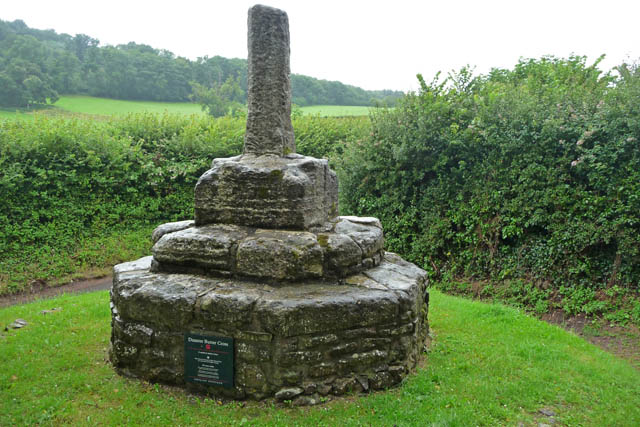
Dunster Butter Cross
The Butter Cross in Dunster within the English county of Somerset is a Grade II* listed building and scheduled monument. The cross was originally erected...

Dunster Priory
Dunster Priory was established as a Benedictine monastery around 1100 in Dunster, Somerset, England. The first church in Dunster was built by William de...
Bat's Castle
Bats Castle is an Iron Age hillfort at the top of a 213 metres (699 ft) high hill in the parish of Carhampton south south west of Dunster in Somerset,...

Gallox Bridge, Dunster
The Gallox Bridge in Dunster, Somerset, England dates from the 15th century. It has been designated as a Grade I listed building and scheduled monument...
Have you been to Ash Copse?
Leave your review of Ash Copse below (or comments, questions and feedback).