Middle Moor Plantation

Wood, Forest in Devon Exeter

England

Middle Moor Plantation

No flags today The familiar multicoloured flags have been taken down due to Storm Henk.
No flags today Credit: Anthony Vosper

Middle Moor Plantation is a picturesque woodland located in the county of Devon, England. Spanning across a vast area, this lush plantation is a haven for nature enthusiasts and those seeking tranquility amidst the beauty of the countryside.

The woodland is characterized by its diverse range of trees, including oak, beech, and birch, which create a rich tapestry of colors throughout the seasons. The dense foliage provides a habitat for a variety of wildlife, such as deer, foxes, and a multitude of bird species. The plantation is also home to an array of wildflowers, adding a vibrant touch to the landscape.

Within the plantation, there are numerous well-maintained walking trails that wind their way through the woodland, allowing visitors to explore the area at their own pace. These paths offer breathtaking views of the surrounding countryside and are suitable for both casual strollers and more adventurous hikers.

Middle Moor Plantation is also notable for its efforts in conservation and sustainability. The management of the plantation follows sustainable practices, ensuring the protection of the trees and wildlife. Additionally, educational programs and guided tours are available to visitors, providing insights into the importance of preserving the natural environment.

Overall, Middle Moor Plantation is a delightful destination for nature lovers, offering a peaceful retreat from the hustle and bustle of everyday life. With its stunning scenery and commitment to conservation, it is a true gem in the heart of Devon.

If you have any feedback on the listing, please let us know in the comments section below.

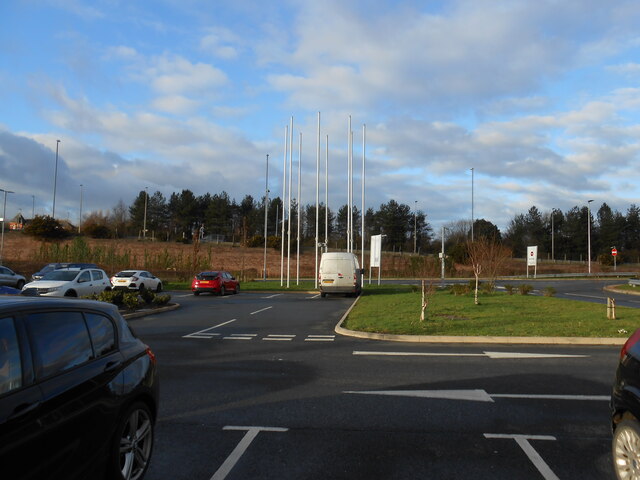
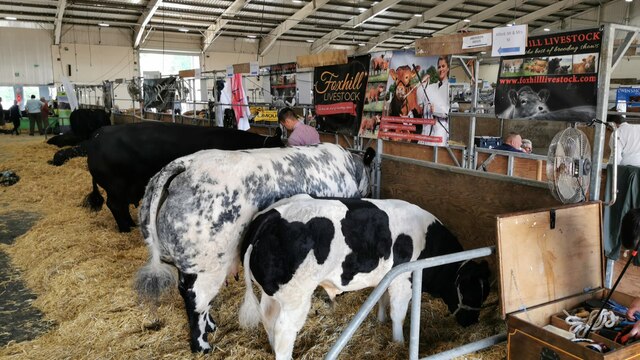
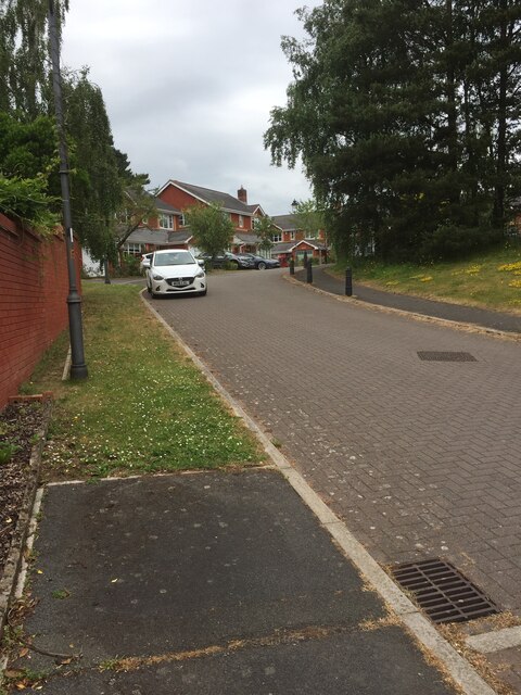
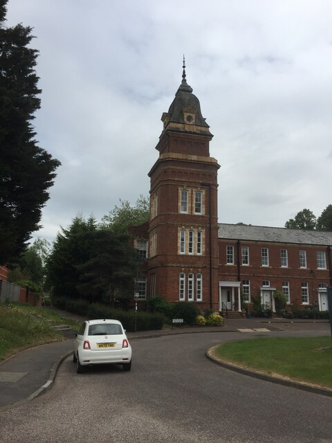
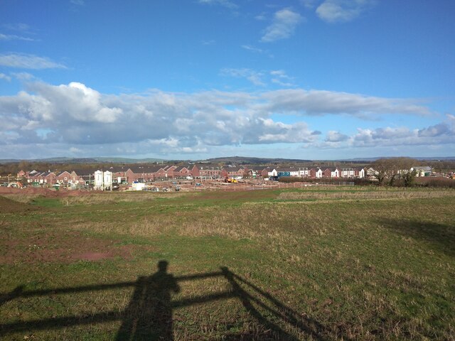
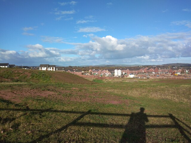
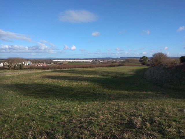
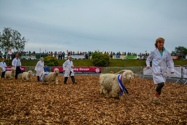
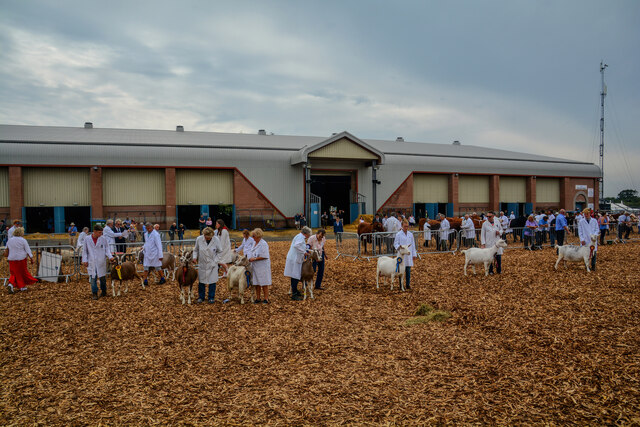
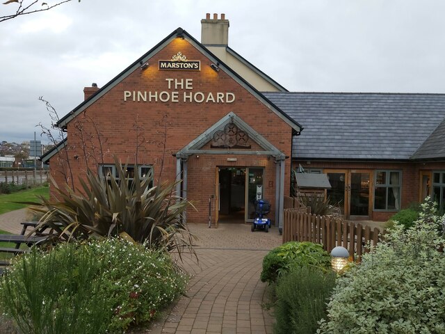
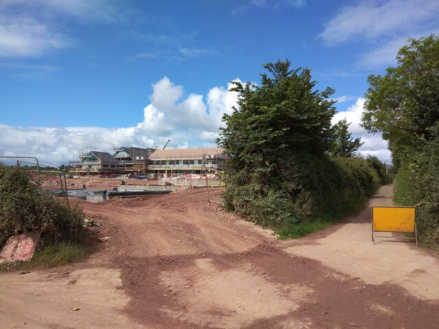
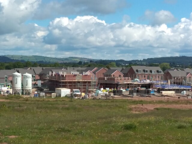
Middle Moor Plantation Images

Images are sourced within 2km of 50.723086/-3.4637727 or Grid Reference SX9692. Thanks to Geograph Open Source API. All images are credited.

No flags today The familiar multicoloured flags have been taken down due to Storm Henk.
No flags today
The familiar multicoloured flags have been taken down due to Storm Henk.
Sowton : Westpoint Arena The Devon County Show in full flow.
Sowton : Westpoint Arena
The Devon County Show in full flow.
Housing estate, Digby, Exeter
Former Digby Hospital now residential flats
Ikea car park, Exeter From within the store. One of the white towers of the Baker Bridge (<a href="https://www.geograph.org.uk/photo/5425247">SX9691 : Baker Bridge</a>) can be seen on the right.
Ikea car park, Exeter
From within the store. One of the white towers of the Baker Bridge (SX9691 : Baker Bridge) can be seen on the right.
Housing development at Tithe Barn, Pinhoe
The west end of housing development at Tithe Barn, Pinhoe In the foreground is a spoil heap from landscaping the farmland.  Together with <a href="https://www.geograph.org.uk/photo/7061830">SX9793 : Housing development at Tithe Barn, Pinhoe</a> and  <a href="https://www.geograph.org.uk/photo/7061836">SX9793 : Housing development at Tithe Barn, Pinhoe and Lidl warehouse</a> this gives a panorama of the construction site
The west end of housing development at Tithe Barn, Pinhoe
In the foreground is a spoil heap from landscaping the farmland. Together with SX9793 : Housing development at Tithe Barn, Pinhoe and SX9793 : Housing development at Tithe Barn, Pinhoe and Lidl warehouse this gives a panorama of the construction site
Housing development at Tithe Barn, Pinhoe and Lidl warehouse
Exeter : Courtyard by Marriott A hotel near Sandy Park.
Exeter : Courtyard by Marriott
A hotel near Sandy Park.
Sowton : Westpoint Exhibition Centre Sheep at the Devon County Show.
Sowton : Westpoint Exhibition Centre
Sheep at the Devon County Show.
Sowton : Westpoint Exhibition Centre Looking towards the arena and centre during the Devon County Show.
Sowton : Westpoint Exhibition Centre
Looking towards the arena and centre during the Devon County Show.
Home Furnishings Retailers in Exeter A view of the front of Dunelm home furnishings retailers in the Sowton retail area of Exeter in Devon as viewed from the large carpark.
Home Furnishings Retailers in Exeter
A view of the front of Dunelm home furnishings retailers in the Sowton retail area of Exeter in Devon as viewed from the large carpark.
Road Junction in Exeter A view of the road junction between Avocet Road and Moor Lane near the Sowton Retail Park in Exeter, Devon.
Road Junction in Exeter
A view of the road junction between Avocet Road and Moor Lane near the Sowton Retail Park in Exeter, Devon.
The Pinhoe Hoard Pub The Pinhoe Hoard Pub is a Marstons pub and is situated in the Whipton part of Exeter in Devon.
The Pinhoe Hoard Pub
The Pinhoe Hoard Pub is a Marstons pub and is situated in the Whipton part of Exeter in Devon.
Currys Retail Store Currys Retail Store front in the Digby area of Exeter in Devon as seen from the large car park.
Currys Retail Store
Currys Retail Store front in the Digby area of Exeter in Devon as seen from the large car park.
B&Q Retail Store in Exeter B&Q retail store front in the Sowton Industrial Park in Exeter in Devon as seen from the large car park.
B&Q Retail Store in Exeter
B&Q retail store front in the Sowton Industrial Park in Exeter in Devon as seen from the large car park.
Housing development by Tithebarn Lane The cycle track on the right is Tithebarn Lane
Housing development by Tithebarn Lane
The cycle track on the right is Tithebarn Lane
New houses and construction at Tithe Barn  Taken from the same spot as <a href="https://www.geograph.org.uk/photo/7061832">SX9793 : The west end of housing development at Tithe Barn, Pinhoe</a>
New houses and construction at Tithe Barn
Show me another place!

Middle Moor Plantation is located at Grid Ref: SX9692 (Lat: 50.723086, Lng: -3.4637727)

Administrative County: Devon

District: Exeter

Police Authority: Devon and Cornwall

What 3 Words

///dive.prep.later. Near Heavitree, Devon

Related Wikis

Exeter services

Exeter services is a motorway service station on the M5 motorway in Devon, England. It is situated at junction 30 of the motorway, east of the city of...

Met Office

The Meteorological Office, abbreviated as the Met Office, is the United Kingdom's national weather service. It is an executive agency and trading fund...

Sowton

Sowton is a village and civil parish east of Exeter in East Devon, England. It has a population of 639.Its parish council merged with that of nearby Clyst...

Exeter Science Park

Exeter Science Park is an English centre of activity for businesses in science, technology, engineering, maths and medicine (STEMM).Exeter Science Park...

Nearby Amenities

Located within 500m of 50.723086,-3.4637727
Motorway Junction
Sowton Interchange
Layer: 3
Ref: 29
Lat/Long: 50.7248819/-3.4624565
Barrier: cycle_barrier
Lat/Long: 50.7230946/-3.467624
Mini Roundabout
Direction: clockwise
Lat/Long: 50.7204807/-3.4683957
Crossing
Crossing Island: yes
Lat/Long: 50.720393/-3.4684393
Barrier: cycle_barrier
Lat/Long: 50.720326/-3.4653713
Traffic Signals
Lat/Long: 50.7209027/-3.4659927
Traffic Signals
Lat/Long: 50.7225392/-3.4672109
Mini Roundabout
Lat/Long: 50.7251793/-3.4699817
Barrier: kerb
Kerb: lowered
Tactile Paving: yes
Lat/Long: 50.7261088/-3.4688965
Bus Stop
Bittern Road
Bus: yes
Naptan AtcoCode: 1100DEC10457
Naptan BusStopType: MKD
Naptan NaptanCode: dvndtatg
Naptan StopType: BCT
Naptan TimingStatus: OTH
Public Transport: platform
Lat/Long: 50.720754/-3.4671364
Bus Stop
Bittern Road
Bus: yes
Naptan AtcoCode: 1100DEC10458
Naptan BusStopType: MKD
Naptan NaptanCode: dvndtamw
Naptan StopType: BCT
Naptan TimingStatus: OTH
Public Transport: platform
Lat/Long: 50.7205247/-3.4676246
Bus Stop
Bus: yes
Public Transport: platform
Lat/Long: 50.7224594/-3.4695013
Design: barrel
Line Attachment: anchor
Power: tower
Lat/Long: 50.7227725/-3.46389
Design: delta
Line Attachment: anchor
Power: tower
Lat/Long: 50.7219045/-3.460008
Design: barrel
Line Management: split
Power: tower
Lat/Long: 50.7215661/-3.4594544
Power: tower
Lat/Long: 50.7243992/-3.4649521
Design: barrel
Line Management: termination
Power: tower
Lat/Long: 50.7260317/-3.4658164
Power: tower
Lat/Long: 50.7223893/-3.4616868
Design: delta
Line Attachment: anchor
Power: tower
Lat/Long: 50.7216593/-3.4590807
Traffic Signals
Lat/Long: 50.7247149/-3.4678615
Crossing
Crossing: unmarked
Crossing Markings: no
Kerb: lowered
Tactile Paving: yes
Lat/Long: 50.7208472/-3.4662575
Post Box
Post Box Type: pillar
Ref: EX2 593
Royal Cypher: EIIR
Royal Cypher Wikidata: Q33102113
Lat/Long: 50.7206356/-3.4678691
Postal Code: EX2 7HY
Lat/Long: 50.719708/-3.4647278
Design: barrel
Power: tower
Lat/Long: 50.7230635/-3.4588438
Design: barrel
Power: tower
Lat/Long: 50.7249557/-3.4575618
Bus Stop
Bus: yes
Public Transport: platform
Lat/Long: 50.7206739/-3.4684329
Bus Stop
Osprey House
Bus: yes
Naptan AtcoCode: 1100DEC10460
Naptan BusStopType: MKD
Naptan NaptanCode: dvndtdgt
Naptan StopType: BCT
Naptan TimingStatus: OTH
Public Transport: platform
Wheelchair: yes
Lat/Long: 50.7226893/-3.4659123
Bus Stop
Homebase
Bus: yes
Naptan AtcoCode: 1100DEC10461
Naptan BusStopType: MKD
Naptan NaptanCode: dvndtdgj
Naptan StopType: BCT
Naptan TimingStatus: OTH
Public Transport: platform
Lat/Long: 50.722737/-3.4663074
Bus Stop
Osprey Road
Bus: yes
Naptan AtcoCode: 1100DEC10462
Naptan BusStopType: MKD
Naptan NaptanCode: dvndtdtm
Naptan StopType: BCT
Naptan TimingStatus: OTH
Public Transport: platform
Lat/Long: 50.7235519/-3.4638792
Bus Stop
Osprey Road
Bus: yes
Naptan AtcoCode: 1100DEC10463
Naptan BusStopType: MKD
Naptan NaptanCode: dvndtdtg
Naptan StopType: BCT
Naptan TimingStatus: OTH
Public Transport: platform
Lat/Long: 50.7235383/-3.4640616
Bus Stop
Royal Mail Centre
Bus: yes
Naptan AtcoCode: 1100DEC10464
Naptan BusStopType: MKD
Naptan NaptanCode: dvndtdpg
Naptan StopType: BCT
Naptan TimingStatus: OTH
Public Transport: platform
Lat/Long: 50.7247059/-3.4642951
Bus Stop
Royal Mail Centre
Bus: yes
Naptan AtcoCode: 1100DEC10465
Naptan BusStopType: MKD
Naptan NaptanCode: dvndtdmj
Naptan StopType: BCT
Naptan TimingStatus: OTH
Public Transport: platform
Lat/Long: 50.7246804/-3.4644319
Bus Stop
Avocet Road
Bus: yes
Naptan AtcoCode: 1100DEC10467
Naptan BusStopType: MKD
Naptan NaptanCode: dvndtdaj
Naptan StopType: BCT
Naptan TimingStatus: OTH
Public Transport: platform
Lat/Long: 50.7249862/-3.4671054
Bus Stop
Avocet Road
Bus: yes
Naptan AtcoCode: 1100DEC10466
Naptan BusStopType: MKD
Naptan NaptanCode: dvndtawp
Naptan StopType: BCT
Naptan TimingStatus: OTH
Public Transport: platform
Lat/Long: 50.7250506/-3.4663898
Post Box
Ref: EX2 888
Royal Cypher: EIIR
Royal Cypher Wikidata: Q33102113
Lat/Long: 50.7254037/-3.4642254
Post Box
Ref: EX2 9
Royal Cypher: EIIR
Royal Cypher Wikidata: Q33102113
Lat/Long: 50.7252815/-3.4643326
Addr City: Exeter
Addr Housenumber: Unit 6
Addr Street: Kestrel Business Park
Lat/Long: 50.7188305/-3.46567
Addr City: Exeter
Addr Housenumber: Unit 13
Addr Street: Kestrel Business Park
Lat/Long: 50.7194283/-3.4662493
Addr City: Exeter
Addr Housenumber: Unit 18
Addr Street: Kestrel Business Park
Lat/Long: 50.7189664/-3.466142
Addr City: Exeter
Addr Housenumber: Unit 10
Addr Street: Kestrel Business Park
Lat/Long: 50.7192697/-3.4657343
Addr City: Exeter
Addr Housenumber: Unit 12
Addr Street: Kestrel Business Park
Lat/Long: 50.719469/-3.4657129
Addr City: Exeter
Addr Housename: Westcountry House
Addr Postcode: EX2 7HY
Addr Street: Abbey Court
Lat/Long: 50.7204632/-3.4651864
Addr City: Exeter
Addr Housenumber: 5
Addr Postcode: EX2 7HY
Addr Street: Sowton Centre
Lat/Long: 50.7212034/-3.4640876
Barrier: cycle_barrier
Lat/Long: 50.7227737/-3.4696789
Height: 45
Man Made: mast
Tower Construction: lattice
Tower Type: communication
Lat/Long: 50.7214569/-3.465393
Bicycle Parking
Capacity: 5
Lat/Long: 50.7211396/-3.468861
Addr City: Exeter
Addr Housenumber: 5
Addr Postcode: EX2 7HY
Addr Street: Abbey Court
Lat/Long: 50.7209641/-3.4653708
Addr City: Exeter
Addr Housenumber: 6
Addr Postcode: EX2 7HY
Addr Street: Abbey Court
Lat/Long: 50.7209644/-3.4651659
Addr City: Exeter
Addr Housenumber: 8
Addr Postcode: EX2 7HY
Addr Street: Abbey Court
Lat/Long: 50.7209505/-3.4647056
Addr City: Exeter
Addr Housenumber: 7
Addr Postcode: EX2 7HY
Addr Street: Abbey Court
Lat/Long: 50.7209576/-3.4649202
Barrier: kerb
Kerb: lowered
Tactile Paving: yes
Lat/Long: 50.7248056/-3.4677336
Crossing
Bicycle: yes
Crossing: unmarked
Crossing Island: no
Crossing Markings: no
Lat/Long: 50.7247472/-3.4677113
Screwfix
Addr City: Exeter
Addr Housenumber: Unit 7
Addr Postcode: EX2 7JS
Addr Street: Kestrel Business Park
Brand: Screwfix
Brand Wikidata: Q7439115
Shop: doityourself
Website: https://www.screwfix.com/stores/OA2/exeter-sowton
Lat/Long: 50.7189965/-3.4656862
Postal Code: EX2 7JG
Lat/Long: 50.7244163/-3.4647658
Addr City: Exeter
Addr Housename: Western Power Depot
Addr Postcode: EX2 7JF
Addr Street: Moor Lane
Lat/Long: 50.7261385/-3.4675722
Addr City: Exeter
Addr Postcode: EX2 7JD
Addr Street: Avocet Road
Lat/Long: 50.7248077/-3.4658267
Power: pole
Lat/Long: 50.7193448/-3.460131
Wolseley
Addr City: Exeter
Addr Housename: Unit 1-3
Addr Postcode: EX2 7PJ
Addr Street: Sanderling Court
Brand: Wolseley
Brand Wikidata: Q8030423
Shop: trade
Trade: plumbing
Website: https://www.wolseley.co.uk/branch/exeter/
Lat/Long: 50.7230542/-3.465165
Material: steel
Power: pole
Lat/Long: 50.7199207/-3.4608122
Generator Method: photovoltaic
Generator Output Electricity: yes
Generator Solar Modules: lots
Generator Source: solar
Generator Type: solar_photovoltaic_panel
Location: roof
Power: generator
Lat/Long: 50.7209439/-3.4650868
Location Transition: yes
Material: steel
Power: pole
Lat/Long: 50.7208683/-3.4616227
Cafe
Caffe Pausa
Addr City: Exeter
Addr Housenumber: 1
Addr Postcode: EX2 7JF
Addr Street: Avocet Road
Fhrs Id: 219050
Operator: Dunelm
Source Addr: FHRS Open Dta
Lat/Long: 50.7237518/-3.4668408
Crossing
Crossing: uncontrolled
Crossing Ref: zebra
Lat/Long: 50.7272604/-3.4638768
Noexit: yes
Lat/Long: 50.7267018/-3.4636344
Traffic Signals
Crossing: unmarked
Crossing Island: yes
Traffic Signals Direction: backward
Lat/Long: 50.7207472/-3.4658433
Barrier: kerb
Kerb: lowered
Tactile Paving: yes
Lat/Long: 50.7224989/-3.4670307
Crossing
Bicycle: yes
Crossing: unmarked
Crossing Markings: no
Lat/Long: 50.722564/-3.4670711
Barrier: kerb
Kerb: lowered
Tactile Paving: yes
Lat/Long: 50.7226394/-3.4671113
Barrier: kerb
Kerb: lowered
Tactile Paving: yes
Lat/Long: 50.7246923/-3.467692
Barrier: kerb
Kerb: flush
Tactile Paving: yes
Lat/Long: 50.7261164/-3.4688339
Barrier: kerb
Kerb: flush
Tactile Paving: yes
Lat/Long: 50.7207294/-3.465901
Barrier: kerb
Kerb: flush
Tactile Paving: yes
Lat/Long: 50.720767/-3.4657798
Traffic Signals
Traffic Signals: signal
Lat/Long: 50.7261108/-3.4690234
Traffic Signals
Traffic Signals: signal
Lat/Long: 50.7261488/-3.4688771
Furniture Village
Addr City: Exeter
Addr Postcode: EX2 7JA
Addr Street: Moor Lane
Brand: Furniture Village
Brand Wikidata: Q5509685
Brand Wikipedia: en:Furniture Village
Contact Website: https://www.furniturevillage.co.uk/stores/exeter.html
Shop: furniture
Lat/Long: 50.72421/-3.4667632
Entrance: yes
Lat/Long: 50.7242071/-3.4668811
Dunelm
Addr City: Exeter
Addr Housenumber: 1
Addr Postcode: EX2 7JF
Addr Street: Avocet Road
Brand: Dunelm
Brand Wikidata: Q5315020
Brand Wikipedia: en:Dunelm Group
Shop: interior_decoration
Source Addr: FHRS Open Dta
Website: https://www.dunelm.com/stores/exeter
Lat/Long: 50.7239214/-3.4671052
Entrance: yes
Lat/Long: 50.7239928/-3.4671347
The data included in this document is from www.openstreetmap.org. The data is made available under ODbL.

Have you been to Middle Moor Plantation?

Leave your review of Middle Moor Plantation below (or comments, questions and feedback).